High Route 1 — Stage 5: Niel → Gressoney-Saint-Jean
18.2 km
+1380 m
−1380 m
7.5 h
Fitness level
~4200 kcal estimated
Elevation profile
Map & route
Download GPXOfficial GPX track — Aosta Valley Region / lovevda.it
Description
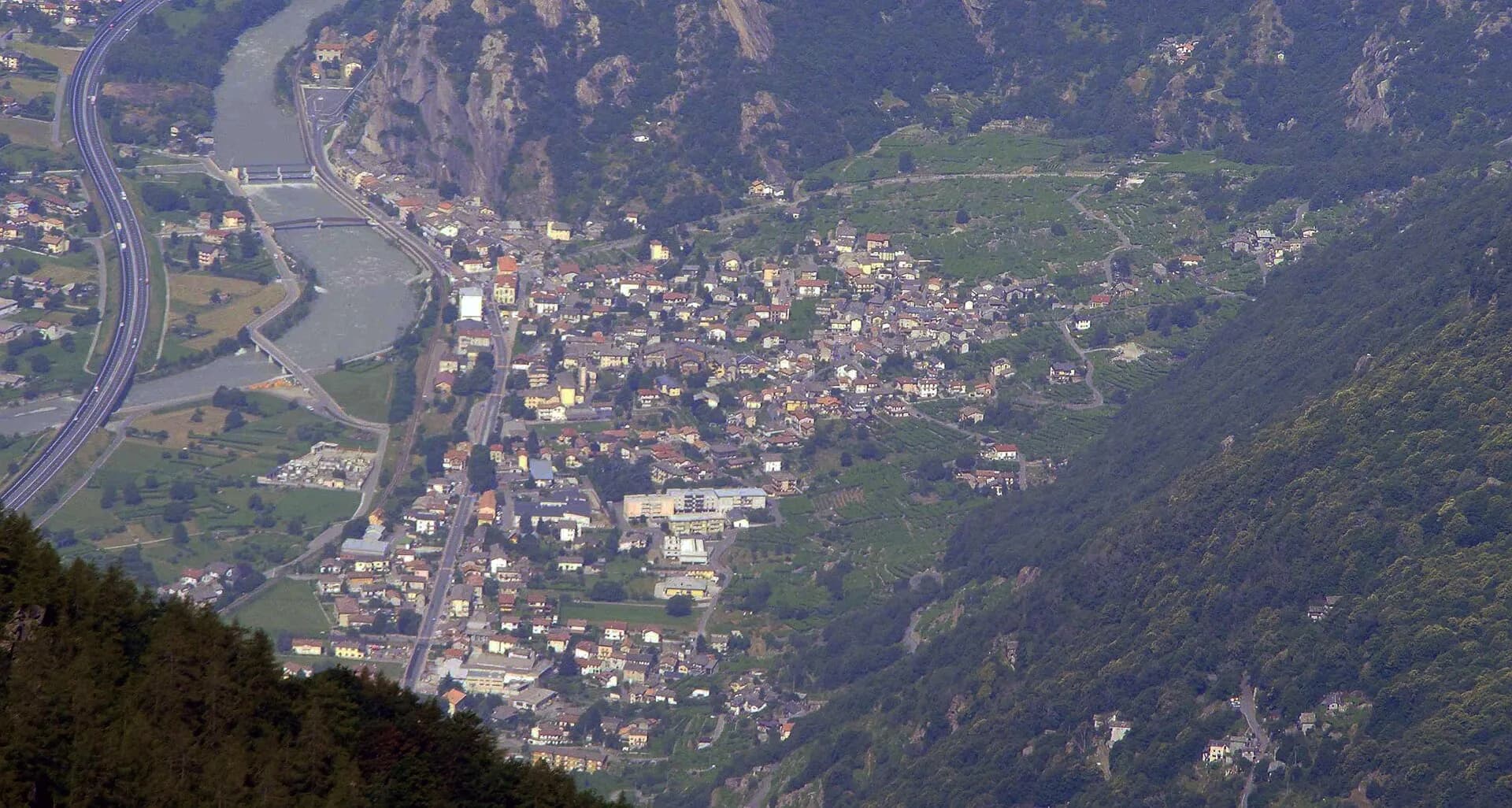
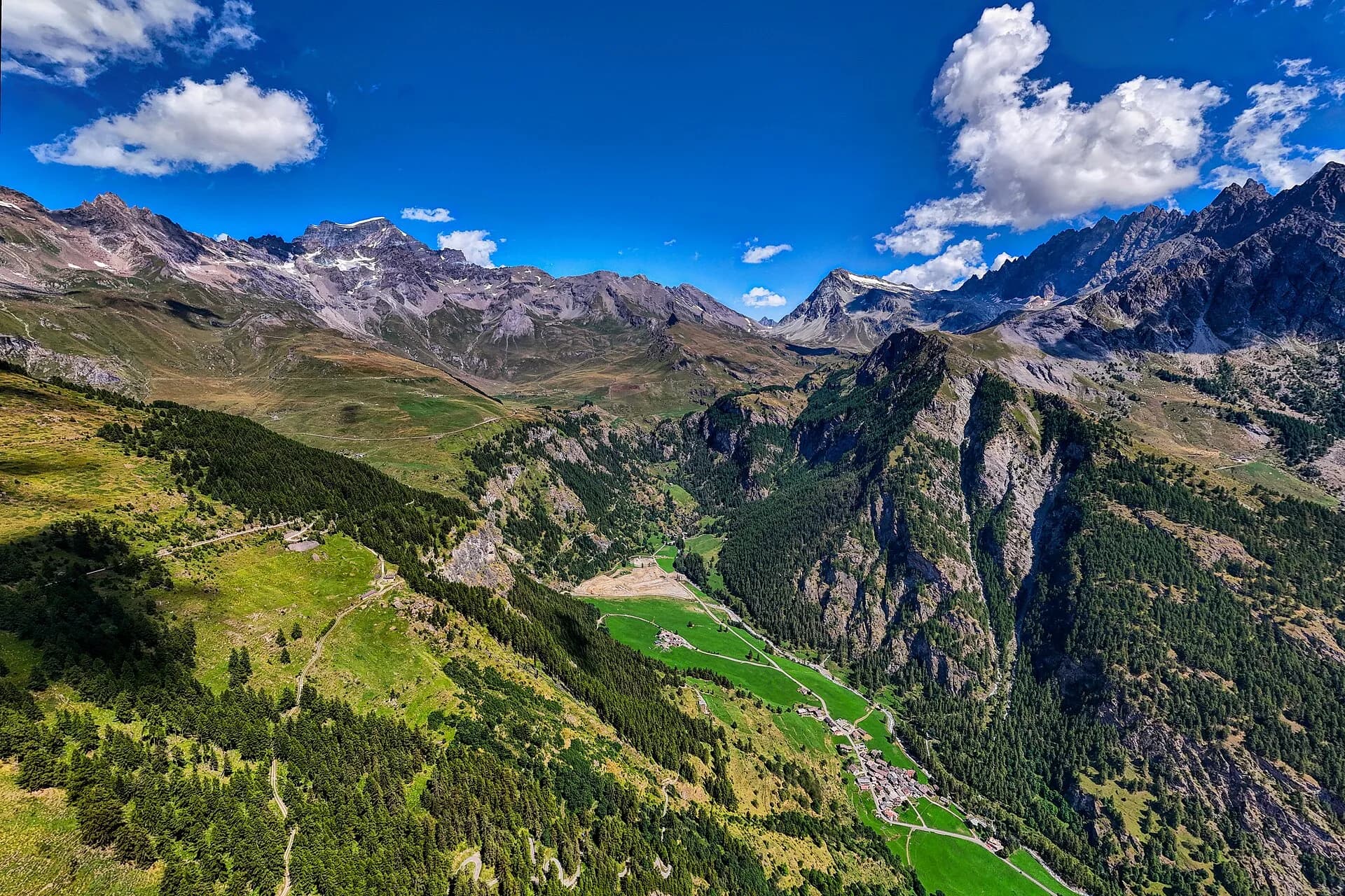
Stage five is the longest and most solitary of this sequence: 18 kilometres of airborne traverse above the Lys valley linking the tiny Walser hamlet of Niel to the town of Gressoney-Saint-Jean. The path gains elevation quickly, leaving behind tree cover to enter a landscape of pastures, scree fields and exposed ridges. Along the traverse walkers pass several still-active summer farms — small stone structures where mountain farmers produce DOP Fontina cheese between June and September — and cross the headwaters of the Lys torrent, born from a rocky buttress just below the crest. Monte Rosa accompanies the walk for most of the day: a distant silhouette to the northeast at first, then progressively closer and more overwhelming as the route advances toward Gressoney. The EE rating reflects sustained sun exposure and cumulative elevation rather than any technical passage. Gressoney-Saint-Jean (1385 m) provides everything needed for a genuine rest day: hotels, restaurants, a supermarket, pharmacy and bus connections to Pont-Saint-Martin.
Key points
Col di Nannaz
2773 m · 11 km from start
Stage high point, iron cross
Earth sciences
Geology & landscape
The long traverse follows the contact between the Austroalpine metamorphic basement and Monte Rosa Penninic cover, with garnet micaschists, augen gneiss and chloritic phyllites along ridges above 2200 m. Col di Nannaz sits on intensely folded quartzites and micaschists with Alpine extension lineations. Below 2000 m, Würmian glacial deposits of the Lys glacier appear: lateral moraines, drumlins and fluvio-glacial terraces in the Gressoney valley floor. Erratic blocks of Monte Rosa granite and basement gneiss testify to multi-kilometre glacial transport. Lys headwaters emerge from impermeable Penninic rocks with fractured hydrogeology. Penninic ophiolites and calcschists outcrop in side valleys toward Issime.
History & culture
Gressoney-Saint-Jean is the heart of Walser culture (titsch), with a Walser museum and DOP Fontina cheese tradition. Summer farms along the traverse produce cheese by centuries-old methods.
Water sources
Last reliable resupply at Niel. Lys headwaters below the crest; carry at least 2 litres for the high traverse.
Getting there
VITA bus to Gressoney-Saint-Jean from Pont-Saint-Martin and the valley floor. Trenitalia to Pont-Saint-Martin with bus connection.
Parking
Parcheggi a Gressoney-Saint-Jean centro; accesso a Niel solo via sentiero AV1.
Warnings
- Long, solitary stage: start at dawn
- Sections exposed to sun and wind above 2500 m
- Snow possible until July on Col di Nannaz
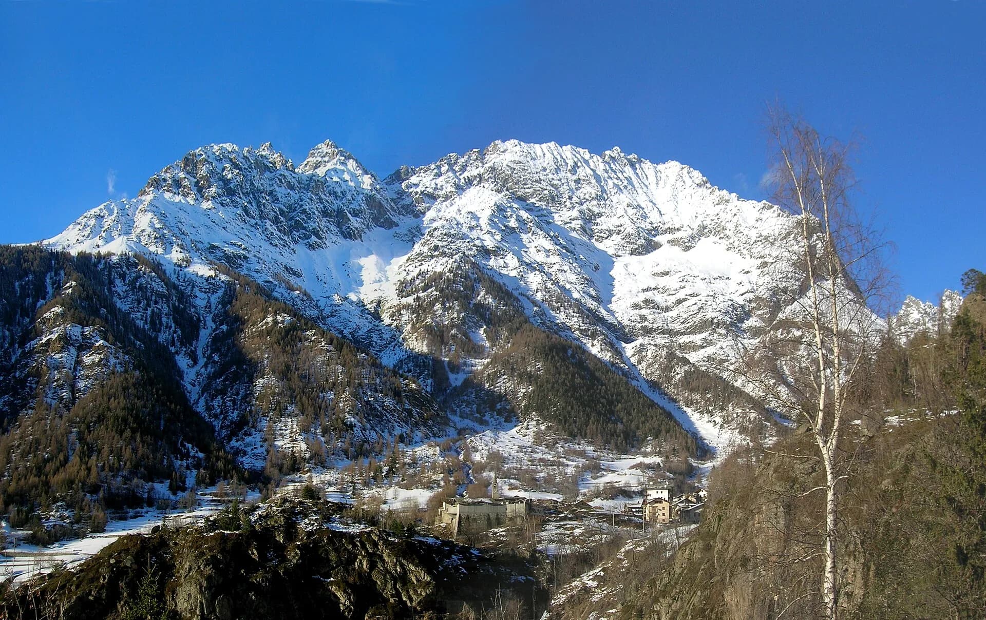
Nearby peaks
Start & end
Start
Niel
1552 m
Finish
Gressoney-Saint-Jean
1386 m
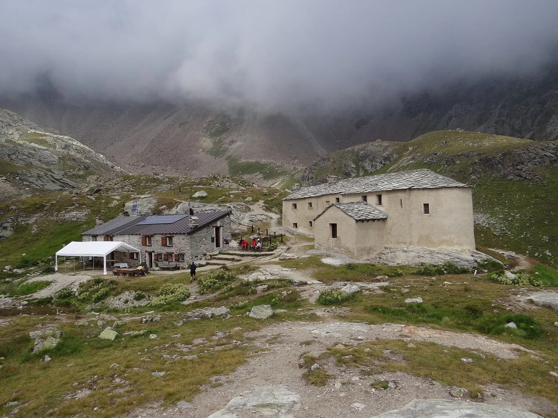
Refuges & bivouacs
Photo gallery
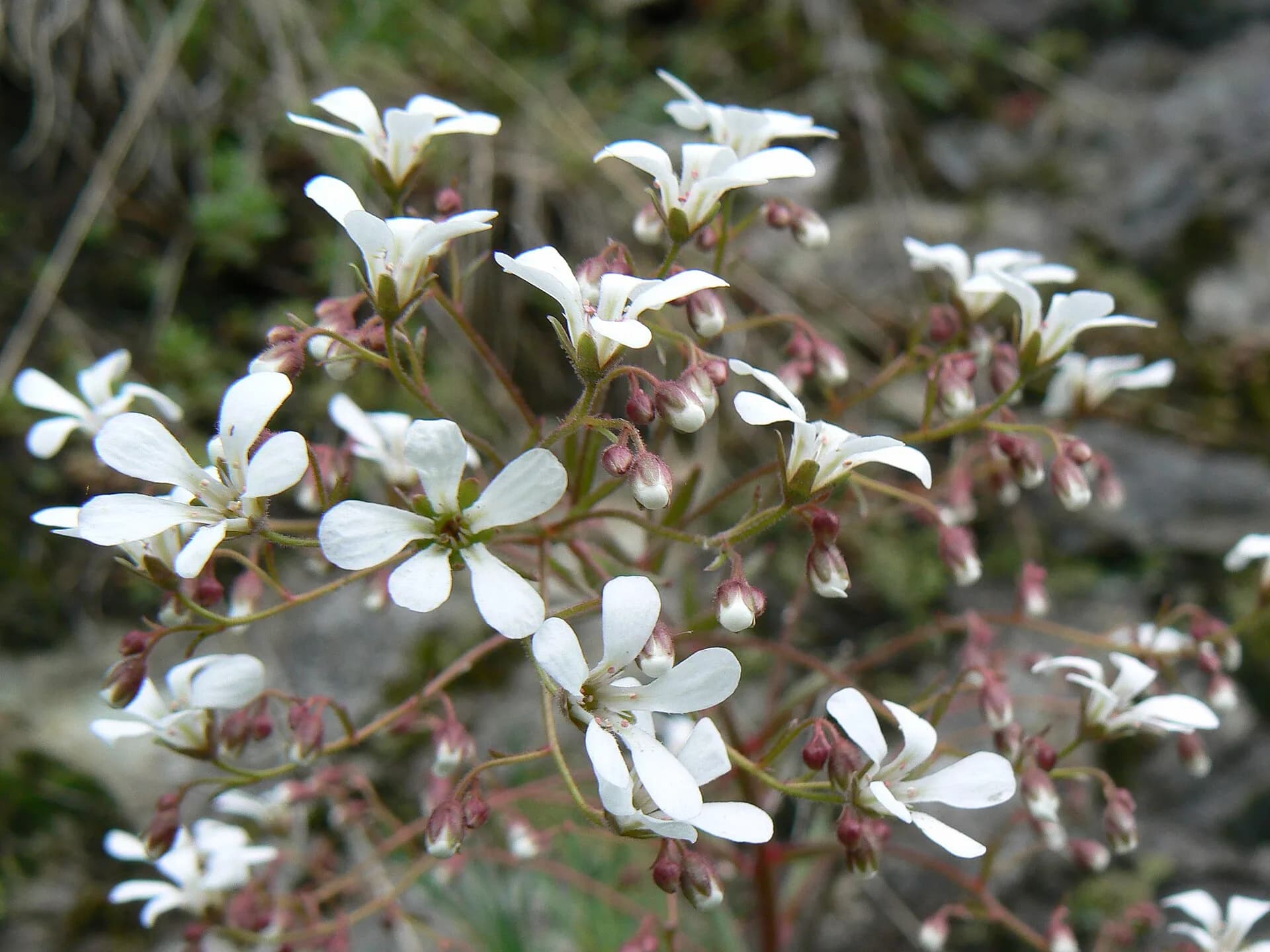
Flora along the trail
Wildlife to spot
Themes and features
Adjacent stages
ACurated and verified by Andrea
Data source: Catasto Sentieri Regione VdA + AllTrails (18.2 km, 7h22 verificati) · Open data — DGR 899/2014
Last verified:
Valle di Gressoney
Related trails
Same valley or similar routes — more hikes to explore.
Bassa Valle
High Route 1 — Stage 1: Donnas → Perloz
The start of the High Route of the Giants, from the valley floor up to Perloz meadows through Walser villages and chestnut groves.
Valtournenche — Val Saint-Barthélemy
High Route 1 — Stage 10: Rifugio Jean Barmasse → Rifugio Oratorio di Cuney
The wild heart of the Alta Via: 17 km across Fenêtre de Tsan, Col Terray and on to Rifugio Oratorio di Cuney, with Matterhorn and Grand Combin dominating a horizon of 2700-metre passes.
Valpelline
High Route 1 — Stage 11: Rifugio Oratorio di Cuney → Oyace
From the Sanctuary of Cuney to the Valpelline: a long descent over exposed ridges with short scramble sections, ending at Oyace in the heart of the Aosta Valley's most untouched valley.
Valpelline
High Route 1 — Stage 12: Oyace → Ollomont via Col Brison
The wild Valpelline: Oyace and Ollomont sit at nearly the same elevation, but Col Brison at 2520 m demands over 1100 m of climbing with views to Mont Vélan and Grand Combin on the Swiss border.