Valle di Gressoney — Valle d'Ayas
High Route 1 — Stage 6: Gressoney-Saint-Jean → Rifugio Vieux Crest
12.7 km
+1427 m
−395 m
6.5 h
Fitness level
~3800 kcal estimated
Elevation profile
Map & route
Download GPXOfficial GPX track — Aosta Valley Region / lovevda.it
Description
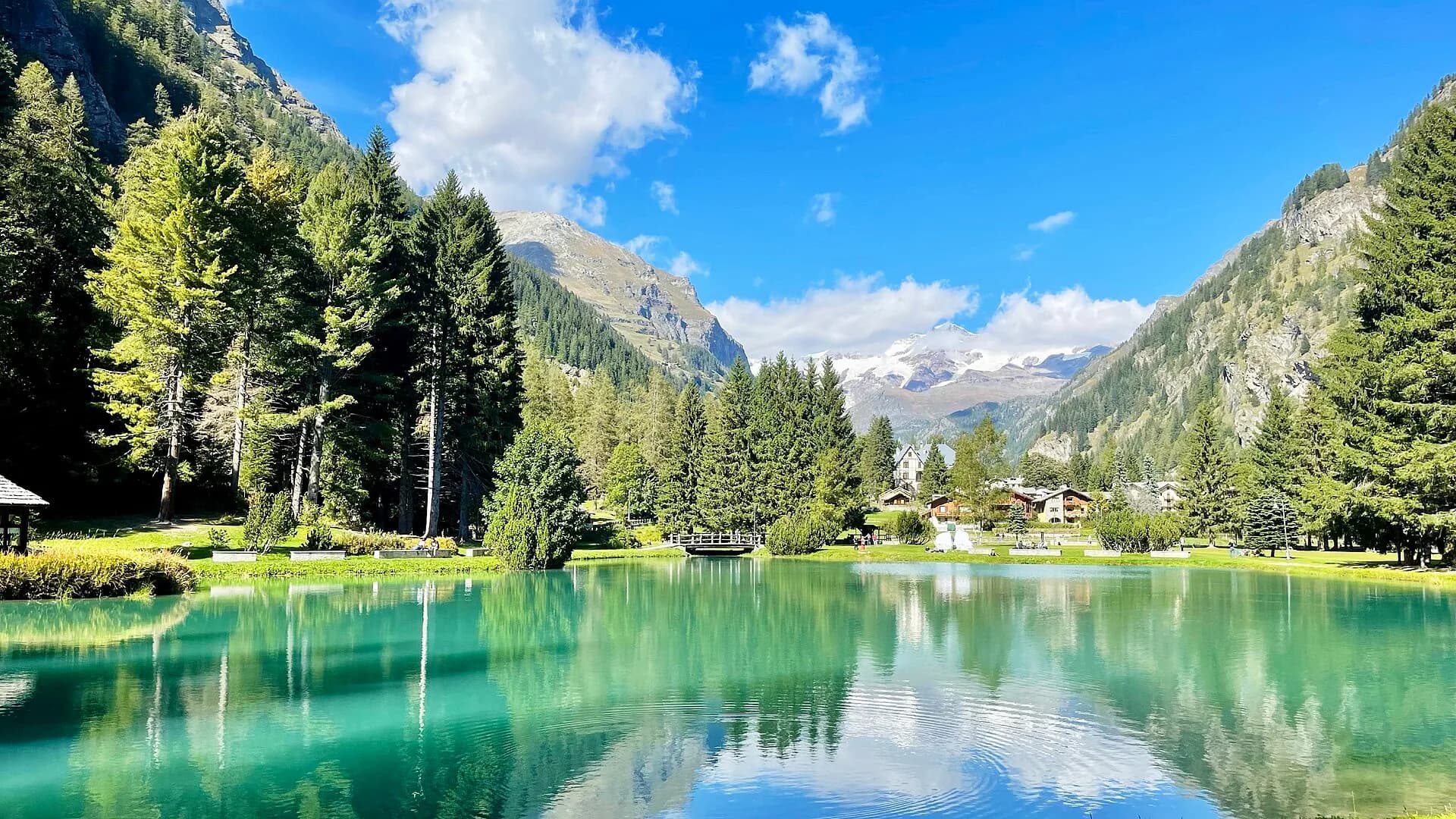
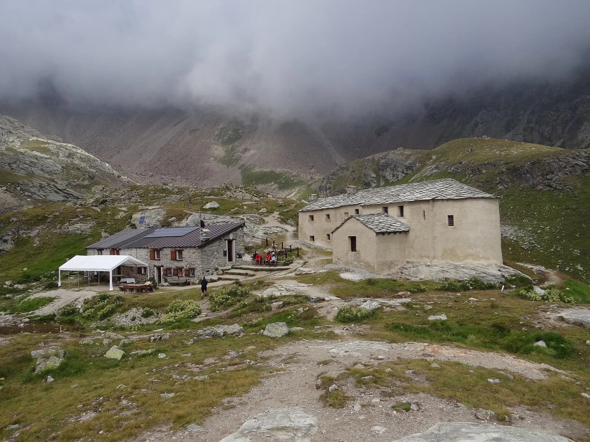
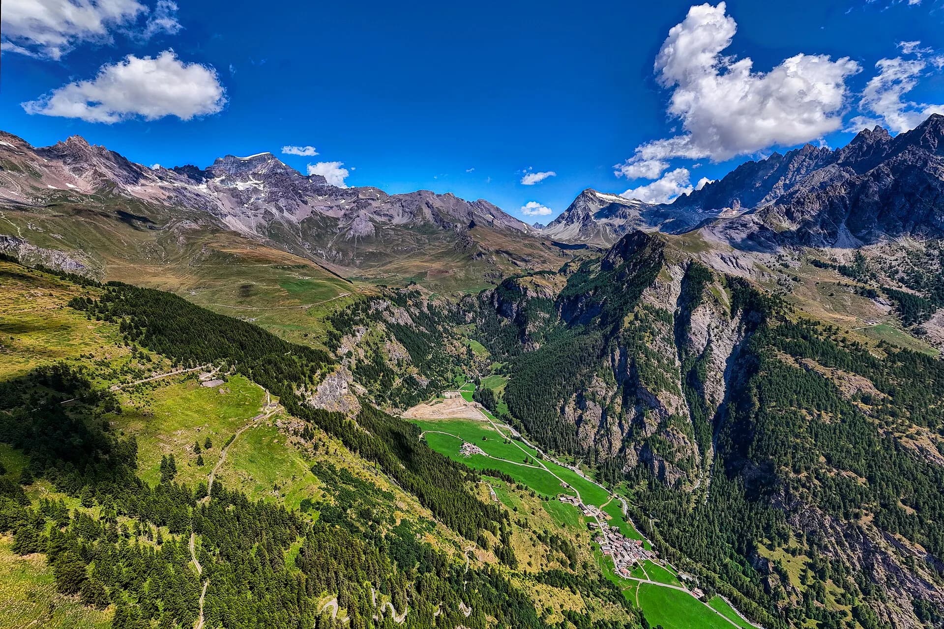
Stage six of High Route 1 ranks among the most iconic of the entire route: it climbs from Gressoney-Saint-Jean to Col Pinter at 2777 metres — the pass dividing the Gressoney valley from the Ayas valley — across high meadows where ibex sightings are common in the early morning hours. Col Pinter is an exceptional natural balcony: Monte Rosa's icy pyramid fills the eastern sky, the Matterhorn rises to the west, and on exceptionally clear days the white dome of Mont Blanc appears on the horizon. The descent to Rifugio Vieux Crest (2417 m) follows a well-marked trail across the Crest glacial cirque, already in the Ayas valley, with views of the full Becca di Nona ridge above Champoluc. Rifugio Vieux Crest, a classic AV1 overnight stop, offers dormitory accommodation and full mountain-hut services; it stands close to the Champoluc cable car which provides a valley-return option in case of emergency or changing weather. The stage demands solid aerobic fitness for the sustained positive elevation gain, but technical difficulty remains low throughout.
Key points
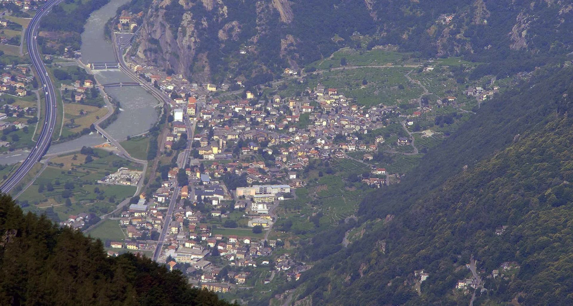
Gressoney-Saint-Jean
1385 m · 0 km from start
Stage start, last urban services
Earth sciences
Geology & landscape
The climb to Col Pinter crosses the Austroalpine metamorphic basement with augen gneiss, micaschists and quartzites of the Monte Rosa massif. The pass opens onto strongly deformed rocks with symmetric folds and migmatite zones. The Crest glacial cirque preserves rebuilt Würmian moraines and proglacial deposits. The descent into Ayas valley crosses chloritic phyllites and mica schists with deformed granite outcrops. Glacial deposits of the Lys and Ayas glaciers shaped hanging valleys and abandoned terraces. Distantly toward Champoluc, calcschists and marbles of the lower Penninic stack outcrop with ophiolites (serpentinites) on lower slopes.
History & culture
Gressoney is home to Walser culture and DOP Fontina cheese. Col Pinter is a historic pass between the Lys and Ayas valleys, used by shepherds and smugglers for centuries.
Water sources
Resupply in Gressoney-Saint-Jean. Sporadic springs above 2000 m. Potable water at Rifugio Vieux Crest.
Getting there
VITA bus to Gressoney-Saint-Jean. Champoluc–Crest cable car for emergency descent from the hut.
Parking
Parcheggi pubblici a Gressoney-Saint-Jean centro e stazione funivia Weissmatten.
Warnings
- Ibex common in the morning: keep your distance
- Snow and ice possible on Col Pinter until July
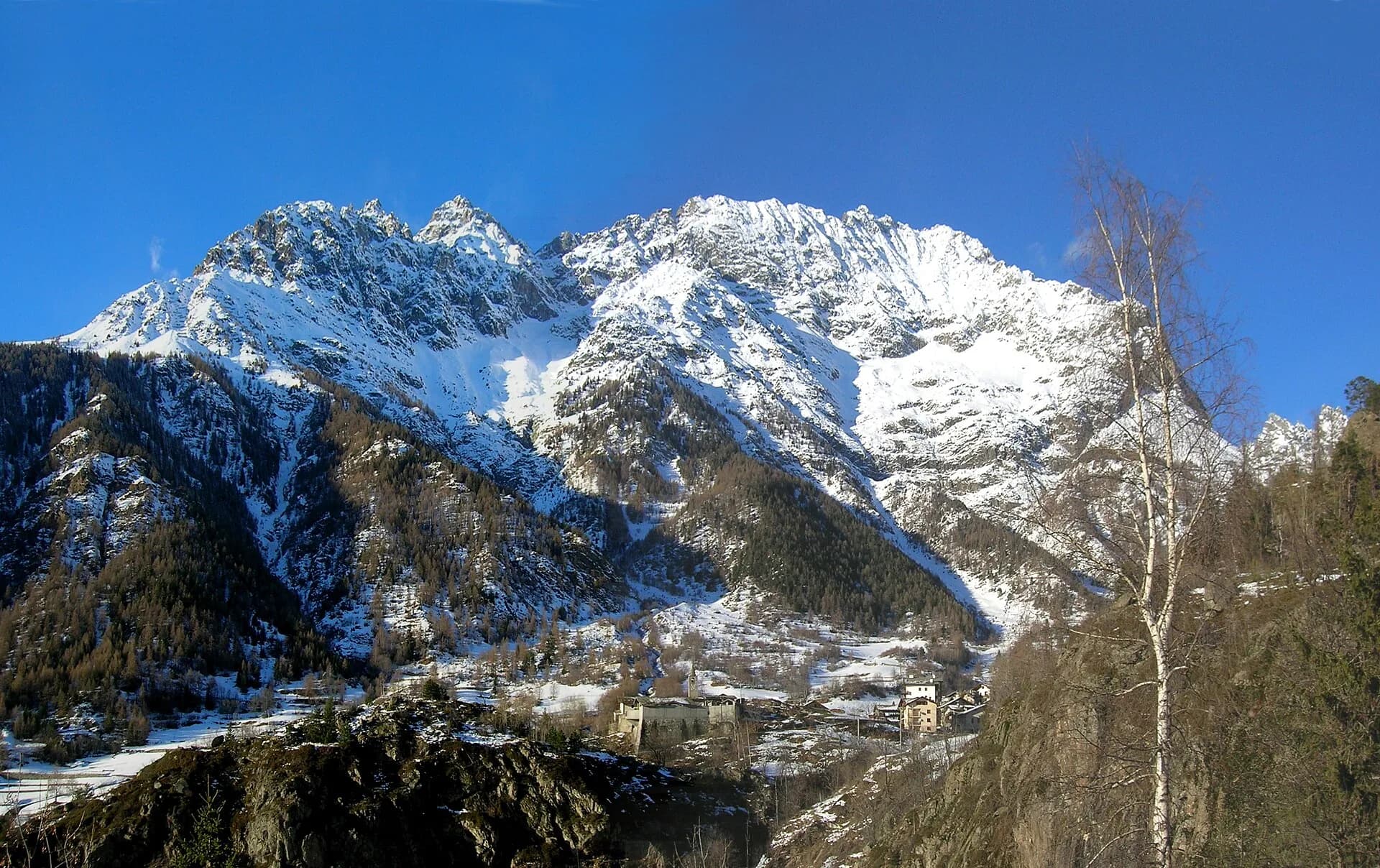
Nearby peaks
Start & end
Start
Gressoney-Saint-Jean
1386 m
Finish
Rifugio Vieux Crest
1925 m
Refuges & bivouacs
Photo gallery
Flora along the trail
Themes and features
Adjacent stages
ACurated and verified by Andrea
Data source: Catasto Sentieri Regione VdA + AllTrails (12.7 km, +1427 m verificati) · Open data — DGR 899/2014
Last verified:
Valle di Gressoney — Valle d'Ayas
Related trails
Same valley or similar routes — more hikes to explore.
Bassa Valle
High Route 1 — Stage 1: Donnas → Perloz
The start of the High Route of the Giants, from the valley floor up to Perloz meadows through Walser villages and chestnut groves.
Valtournenche — Val Saint-Barthélemy
High Route 1 — Stage 10: Rifugio Jean Barmasse → Rifugio Oratorio di Cuney
The wild heart of the Alta Via: 17 km across Fenêtre de Tsan, Col Terray and on to Rifugio Oratorio di Cuney, with Matterhorn and Grand Combin dominating a horizon of 2700-metre passes.
Valpelline
High Route 1 — Stage 11: Rifugio Oratorio di Cuney → Oyace
From the Sanctuary of Cuney to the Valpelline: a long descent over exposed ridges with short scramble sections, ending at Oyace in the heart of the Aosta Valley's most untouched valley.
Valpelline
High Route 1 — Stage 12: Oyace → Ollomont via Col Brison
The wild Valpelline: Oyace and Ollomont sit at nearly the same elevation, but Col Brison at 2520 m demands over 1100 m of climbing with views to Mont Vélan and Grand Combin on the Swiss border.