High Route 1 — Stage 12: Oyace → Ollomont via Col Brison

12.4 km
+1145 m
−1155 m
5.5 h
Fitness level
~3600 kcal estimated
Elevation profile
Map & route
Download GPXOfficial GPX track — Aosta Valley Region / lovevda.it
Description
Stage twelve crosses the Valpelline from Oyace to Ollomont, climbing over Col Brison (2520 m) in one of the physically most demanding stages for the ratio of elevation gain to distance. The route leaves Oyace centre, drops briefly to the Buthier torrent and then climbs relentlessly through a conifer forest to the summer farm of Sucheaz (1993 m), where the trees give way to high pastures. The ascent continues toward Col Brison through solid, well-maintained switchbacks, reaching the pass where Mont Vélan (3734 m) and Grand Combin suddenly appear on the skyline with the Swiss side of the Grand Saint-Bernard valley visible on the horizon. The descent to Ollomont is equally significant: over 1100 metres on a clear path crossing the Beria alp before dropping into the valley-floor forest. Ollomont (1393 m) is a small Valpelline village with a Romanesque bell tower and a centuries-old cheesemaking tradition: an ideal stop to taste local dairy produce and resupply before the final three stages to Courmayeur.
Key points
Oyace
1397 m · 0 km from start
Stage start
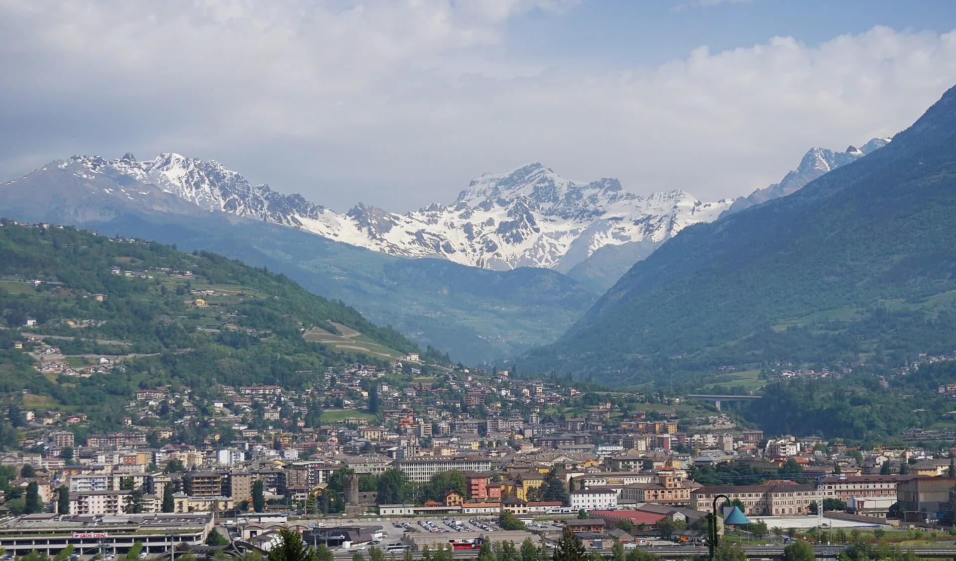
Ollomont
1393 m · 12.4 km from start
Stage finish, Romanesque bell tower
Earth sciences
Geology & landscape
The climb to Col Brison crosses the Austroalpine metamorphic basement with augen gneiss, micaschists and quartzites of the Mont Vélan massif. The pass outcrops on intensely deformed rocks with symmetric folds and migmatite zones. Valpelline slopes display Würmian glacial deposits with lateral moraines and proglacial sediments. Sucheaz summer farm develops on decomposed moraines with fertile pasture soils. The descent toward Ollomont crosses chloritic phyllites and mica schists with deformed granite outcrops. Penninic ophiolites (serpentinites) outcrop in the valley floor toward Bionaz. Periglacial deposits with active scree indicate instability on slopes above 2200 m.
History & culture
Ollomont preserves a Romanesque bell tower and centuries-old cheesemaking tradition. Valpelline is land of transhumance and alpine cheese production.
Water sources
Fountain in Oyace. Springs at Sucheaz in summer. Bar in Ollomont.
Getting there
VITA bus to Oyace and Ollomont from Aosta via Valpelline.
Parking
Parcheggi a Oyace e Ollomont centro.
Warnings
- High elevation gain relative to distance
- Residual snow possible in June on Col Brison
Nearby peaks
Start & end
Start
Oyace
1367 m
Finish
Ollomont
1379 m
Flora along the trail
Wildlife to spot
Themes and features
Adjacent stages
ACurated and verified by Andrea
Data source: Catasto Sentieri Regione VdA + AllTrails (12.4 km verificati) + thealps.com + vasentiero.org · Open data — DGR 899/2014
Last verified:
Valpelline
Related trails
Same valley or similar routes — more hikes to explore.

Valpelline
Gran Combin Tour — Stage 1: Ollomont → Rifugio Prarayer
Climb from Ollomont to Rifugio Prarayer in Valpelline.

Valpelline
Gran Combin Tour — Stage 2: Rifugio Prarayer → Colle del Gran San Bernardo
Traverse toward Great St Bernard Pass.
Valpelline
Gran Combin Tour — Stage 3: Colle del Gran San Bernardo → Combin de Tsessione
Approach to the Gran Combin massif.

Valpelline
Gran Combin Tour — Stage 4: Combin de Tsessione → Oyace
Descent to Oyace closing the VdA Gran Combin loop.