High Route 1 — Stage 13: Ollomont → Rifugio Champillon

9.5 km
+1070 m
−40 m
3.5 h
Fitness level
~3000 kcal estimated
Elevation profile
Map & route
Download GPXOfficial GPX track — Aosta Valley Region / lovevda.it
Description
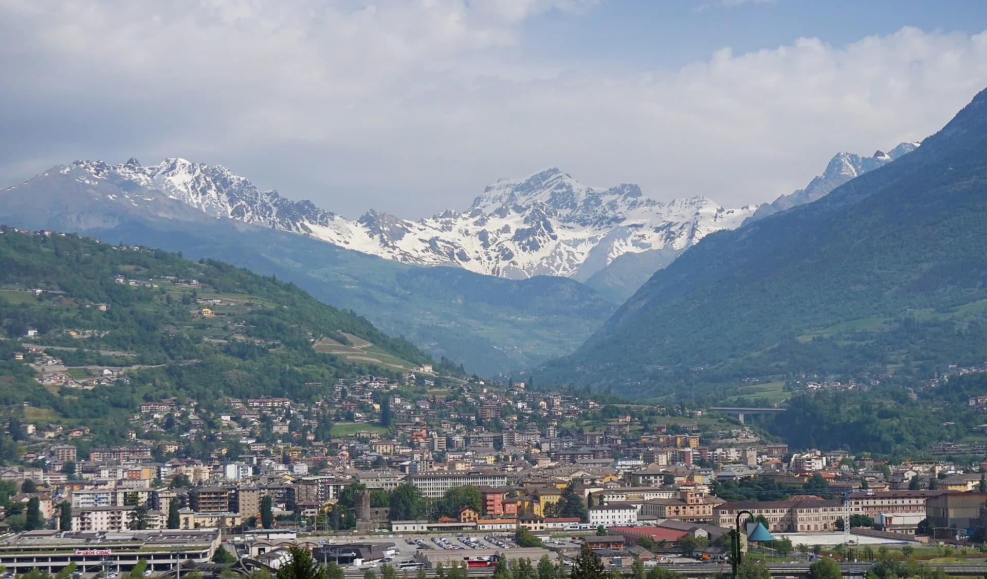
Stage thirteen is the first of the final sequence steering the Alta Via 1 toward the Mont Blanc massif: from Ollomont the trail climbs over 1000 metres to Rifugio Champillon in the Conca di By, one of the most unspoiled landscapes in the entire Aosta Valley. The route departs from the hamlet of Rey, threads through a larch and Scots pine forest on quite steep sections, reaches the summer farms of Prumayes (1621 m) and continues on a well-marked path toward the Champillon meadows. The small chapel of Notre-Dame-des-Neiges at approximately 2300 m is the spiritual landmark of this stretch and deserves a quiet stop. Rifugio Champillon (2465 m), in the Conca di By at the foot of Col Champillon, is a distinctive hut: a sauna with Alpine views, a yurt on the lawn, and a young, informal atmosphere. Dormitory accommodation and wild camping in the surrounding meadow are both available depending on preference and season. The stage is short in kilometres but the unrelenting positive elevation — with almost no flat sections — demands trained legs and a steady rhythm.
Key points
Ollomont
1393 m · 0 km from start
Start from Rey hamlet
Notre-Dame-des-Neiges
2300 m · 6.5 km from start
Votive chapel at 2300 m
Rifugio Champillon
2465 m · 9.5 km from start
Stage finish, Conca di By
Earth sciences
Geology & landscape
The climb into Conca di By crosses augen gneiss and micaschists of the Austroalpine basement with quartz and garnet bands. Notre-Dame-des-Neiges chapel stands on Würmian glacial deposits with rebuilt moraines and lacustrine sediments. Above 2200 m, quartzites and chloritic phyllites appear with quartz-feldspar pegmatites. Rifugio Champillon sits on a plateau shaped by periglacial deposits with scree and active solifluction. Toward Col Champillon (next stage), calcschists and marbles of the lower Penninic stack appear. Colluvial deposits and historic landslides indicate instability on forested slopes below Prumayes.
History & culture
Conca di By is an intact pastoral landscape with active summer farms. Rifugio Champillon is known for its yurt and alpine-view sauna.
Water sources
Fountain in Ollomont. Springs at Prumayes. Water at Rifugio Champillon.
Getting there
VITA bus to Ollomont from Aosta. Trail access from Rey hamlet.
Parking
Parcheggio a Ollomont/Rey, limitato.
Warnings
- Sustained climb with almost no flat sections
- Book the hut in July–August
Nearby peaks
Start & end
Start
Ollomont
1379 m
Finish
Rifugio Champillon
2420 m
Refuges & bivouacs
Photo gallery
Flora along the trail
Wildlife to spot
Themes and features
Adjacent stages
ACurated and verified by Andrea
Data source: Catasto Sentieri Regione VdA + thealps.com + gulliver.it (km stimati, non verificati da GPS indipendente) · Open data — DGR 899/2014
Last verified:
Valpelline — Conca di By
Related trails
Same valley or similar routes — more hikes to explore.

Valpelline
High Route 1 — Stage 11: Rifugio Oratorio di Cuney → Oyace
From the Sanctuary of Cuney to the Valpelline: a long descent over exposed ridges with short scramble sections, ending at Oyace in the heart of the Aosta Valley's most untouched valley.

Valpelline
Gran Combin Tour — Stage 1: Ollomont → Rifugio Prarayer
Climb from Ollomont to Rifugio Prarayer in Valpelline.

Valpelline
Gran Combin Tour — Stage 2: Rifugio Prarayer → Colle del Gran San Bernardo
Traverse toward Great St Bernard Pass.
Valpelline
Gran Combin Tour — Stage 3: Colle del Gran San Bernardo → Combin de Tsessione
Approach to the Gran Combin massif.