High Route 1 — Stage 14: Rifugio Champillon → Saint-Rhémy-en-Bosses
14 km
+522 m
−1324 m
5.5 h
Fitness level
~3200 kcal estimated
Elevation profile
Map & route
Download GPXOfficial GPX track — Aosta Valley Region / lovevda.it
Description
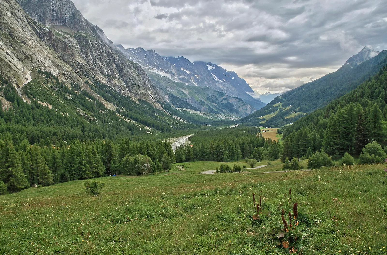
Stage fourteen carries the Alta Via 1 from Rifugio Champillon to the upper Grand Saint-Bernard valley, one of the great historic communication routes between Italy and Switzerland. From the hut a short final climb reaches Col Champillon (2709 m), a broad grassy pass from which the panorama sweeps exceptionally: Mont Blanc to the west, Gran Paradiso to the east, Grand Combin to the north. The descent to Saint-Rhémy-en-Bosses is long — over 1100 metres — but follows a solid, well-signed path throughout, crossing high pastures before dropping through mixed forest to the valley floor. Saint-Rhémy-en-Bosses (1600 m) is a quiet village on the historic Great Saint Bernard road, with full services and a small museum dedicated to the pass and its famous Saint Bernard dogs. Walkers with remaining energy can make a short detour to Col du Grand Saint-Bernard (2473 m) and visit the hospice that has welcomed travellers for centuries. The stage is rated E with no technical difficulties.
Key points
Rifugio Champillon
2465 m · 0 km from start
Stage start
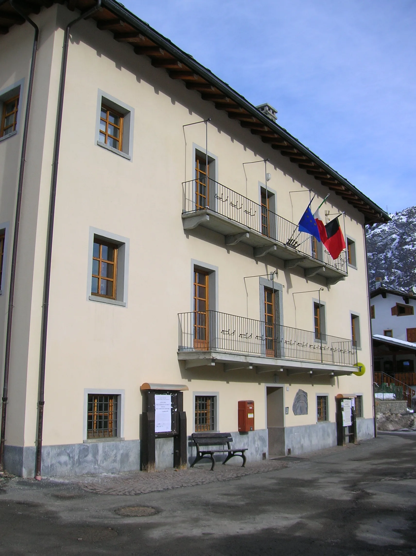
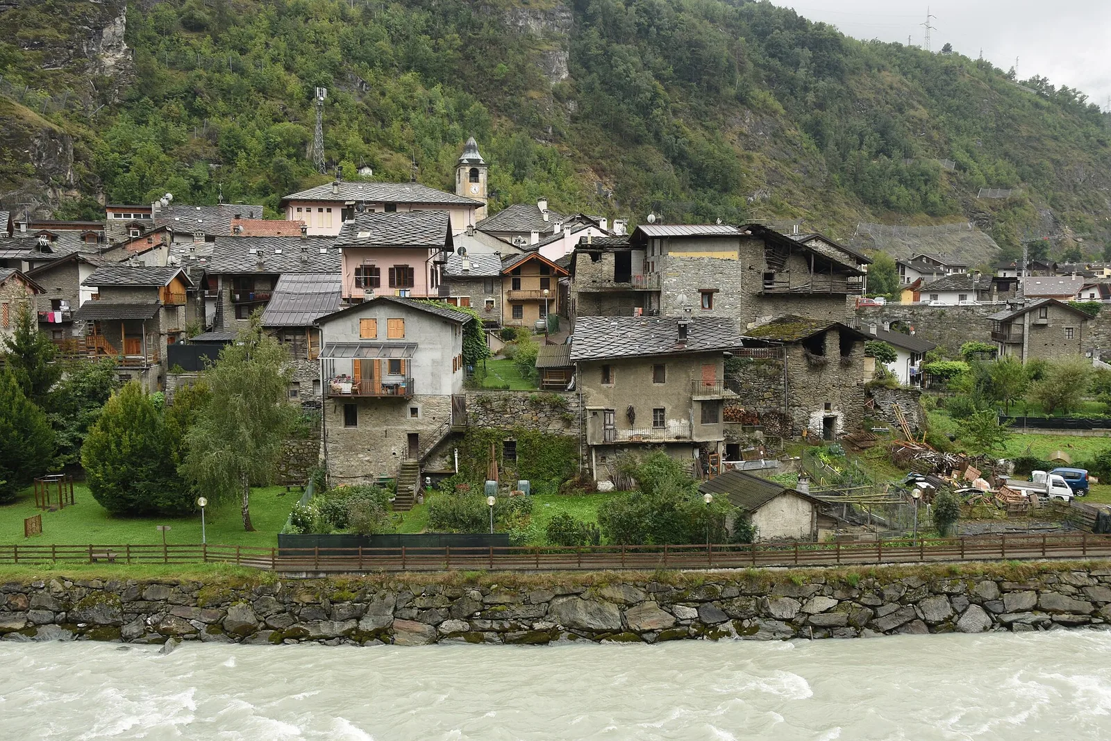
Saint-Rhémy-en-Bosses
1600 m · 14 km from start
Stage finish, Great Saint Bernard valley
Earth sciences
Geology & landscape
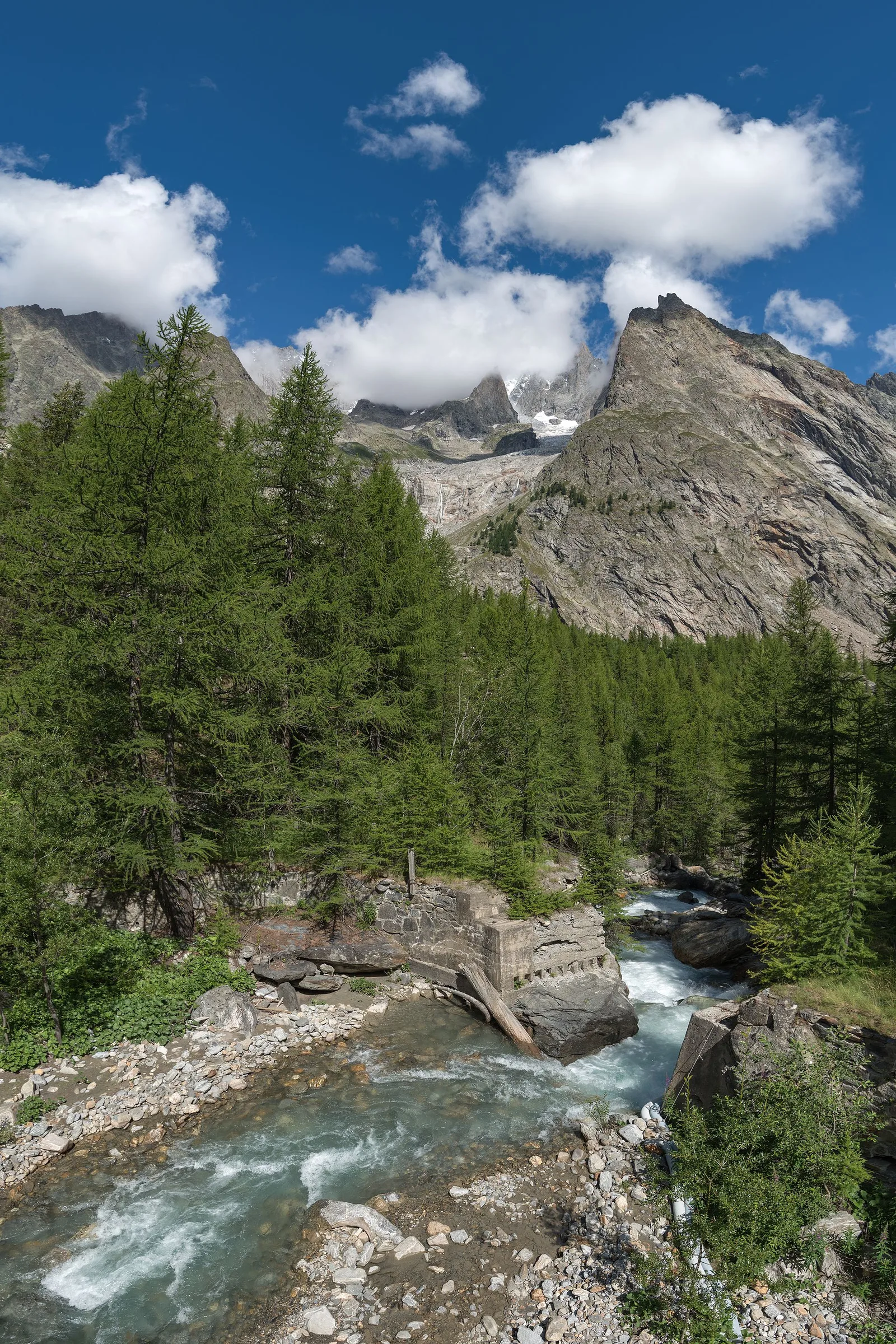
Col Champillon opens onto Austroalpine augen gneiss and micaschists with quartzite and mica phyllite outcrops. The descent toward Saint-Rhémy crosses Würmian glacial deposits of the By glacier with terminal moraines and fluvio-glacial terraces. Below 2200 m, calcschists and marbles of the lower Penninic stack appear with quartz and calcite bands. The Great Saint Bernard valley floor shows alluvial deposits of the Artanavaz stream with pebbles of gneiss, marble and limestone. Forested slopes display paleosols on decomposed glacial deposits. Distantly to the west, ultrabasic Penninic units (ophiolites) outcrop in Valpelline.
History & culture
Saint-Rhémy-en-Bosses stands on the ancient Great Saint Bernard route, used by Romans and pilgrims. The local museum documents the hospice and Saint Bernard dogs history.
Water sources
Water at the hut. Springs during descent. Services in Saint-Rhémy.
Getting there
VITA bus to Saint-Rhémy from Aosta. Great Saint Bernard road accessible in summer.
Parking
Parcheggi a Saint-Rhémy centro e area museale del Colle.
Warnings
- Long descent: poles useful
- Detour to Great Saint Bernard Pass requires extra time
Nearby peaks
Start & end
Start
Rifugio Champillon
2420 m
Finish
Saint-Rhémy-en-Bosses
1613 m
Refuges & bivouacs
Photo gallery
Flora along the trail
Wildlife to spot
Themes and features
Adjacent stages
ACurated and verified by Andrea
Data source: Catasto Sentieri Regione VdA + thealps.com (D+/D− verificati) · Open data — DGR 899/2014
Last verified:
Valle del Gran San Bernardo
Related trails
Same valley or similar routes — more hikes to explore.
Valle del Gran San Bernardo
Allein - Mont Saron
7.5 km · +1434 m · E — from Chef-lieu to Mont Saron (Great St Bernard Valley).

Valle del Gran San Bernardo
Anello dei Gemelli della Mologna
8.9 km · +996 m · EEA — from Niel to Niel (Great St Bernard Valley).
Valle del Gran San Bernardo
Area pic-nic Plan Veny - Lac du Breuillat
3.6 km · +420 m · E — from Area pic-nic Plan Veny to Lac du Breuillat (Great St Bernard Valley).
Valle del Gran San Bernardo
Area pic-nic Plan Veny - Rifugio Monzino
3.4 km · +997 m · EEA — from Area pic-nic Plan Veny to Rifugio Monzino (Great St Bernard Valley).