Monte Rosa Tour — Stage 1: Gressoney-Saint-Jean → Rifugio Gabiet
9 km
+990 m
−0 m
4.5 h
Fitness level
~1260 kcal estimated
Elevation profile
Map & route
Download GPXGPX track — verify on the ground before hiking
Description
First VdA stage of the Monte Rosa Tour: climb Lys valley to Gabiet hut, base for the Lys Glacier.
Key points
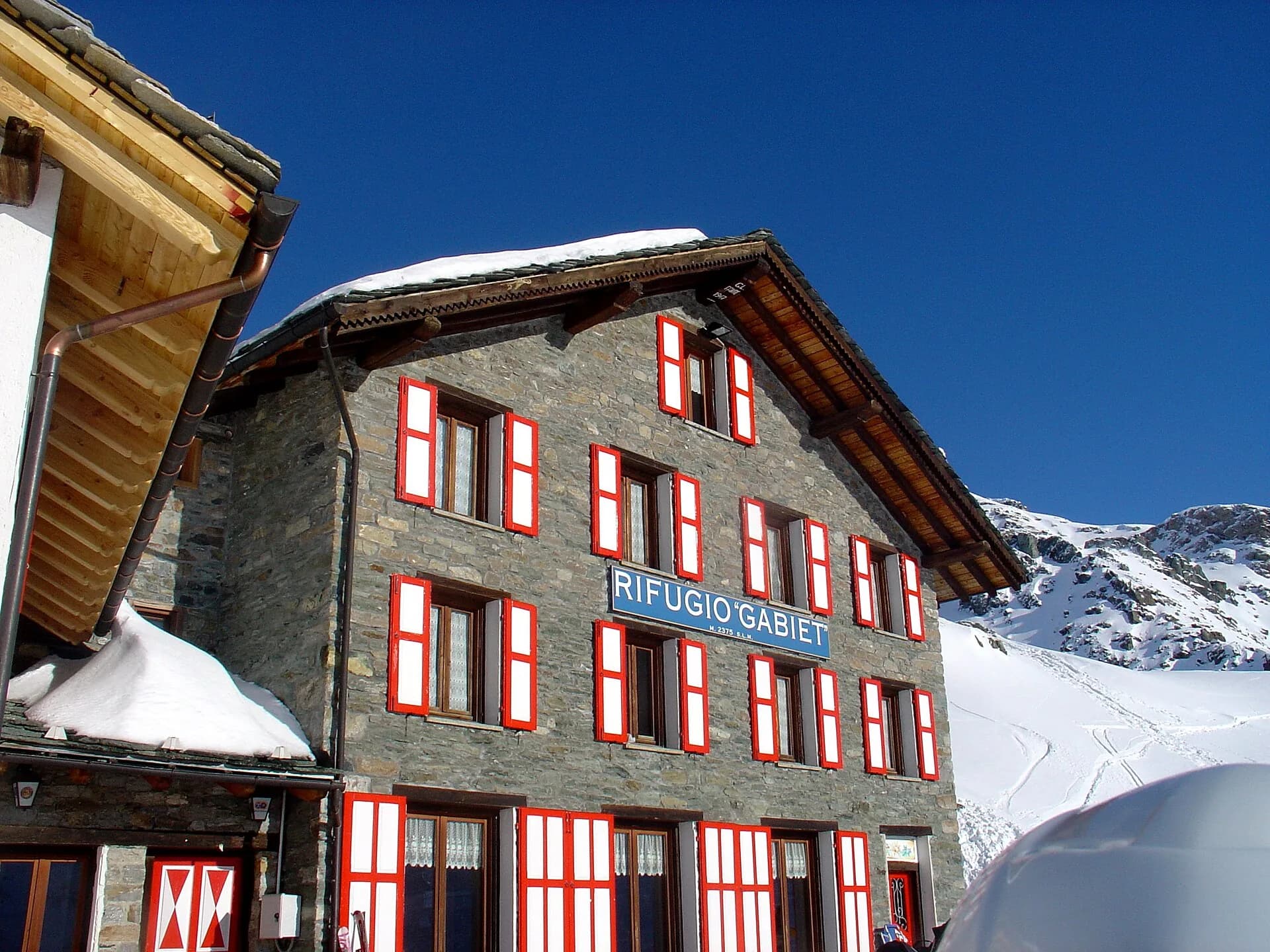
Lago Gabiet
2375 m · 8 km from start
Earth sciences
Geology & landscape
Aosta Valley flank of Monte Rosa: gneiss and micaschists, Lys glaciers and Holocene moraines. Walser culture in Gressoney.
Water sources
Rifugio Gabiet and services in Gressoney-Saint-Jean.
Getting there
VITA buses and connections from Aosta; check seasonal timetables at vita.it.
Parking
Parcheggi comunali nei paesi di valle; verificare limitazioni in alta stagione.
Warnings
- Check weather and residual snow early season
- Book huts in peak season
Nearby peaks
Start & end
Start
Gressoney-Saint-Jean
1385 m
Finish
Rifugio Gabiet
2370 m
Refuges & bivouacs
Photo gallery
Flora along the trail
Adjacent stages
ACurated and verified by Andrea
Data source: Catasto Sentieri Regione Autonoma VdA · Open data — DGR 899/2014
Last verified:
Valle del Lys
Related trails
Same valley or similar routes — more hikes to explore.
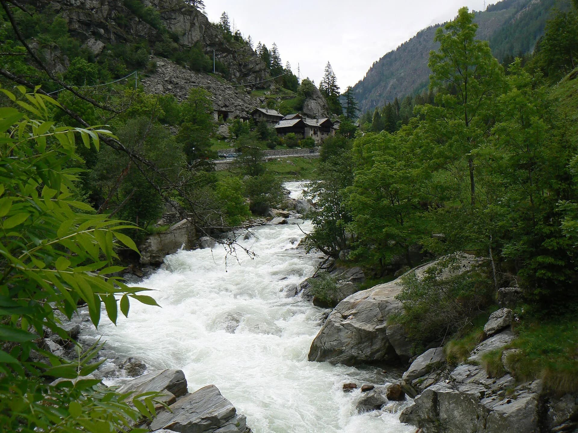
Valle del Lys
Monte Rosa Tour — Stage 4: Breuil-Cervinia → Gressoney-Saint-Jean
Closing the VdA loop: return toward Gressoney.

Valle del Lys
Alpe Bardoney (incrocio sentieri 12-13G)- Col de l'Arolla
5.3 km · +684 m · EE — from Alpe Bardoney (incrocio sentieri 12-13G) to Col de l'Arolla (Lys Valley).

Valle del Lys
Antiche miniere di ferro di Colonna
3.8 km · +852 m · E — from Moline to Miniere di Colonna (Lys Valley).

Valle del Lys
Arpilles - Champromenty
2.1 km · +333 m · E — from Arpilles to Champromenty (Lys Valley).