Valle del Lys — Valsesia (Piemonte)
Tour Monte Rosa — Stage 2: Lago Gabiet → Alagna Valsesia
12.7 km
+530 m
−1803 m
7.5 h
Fitness level
Map & route
GPX track — verify on the ground before hiking
Description
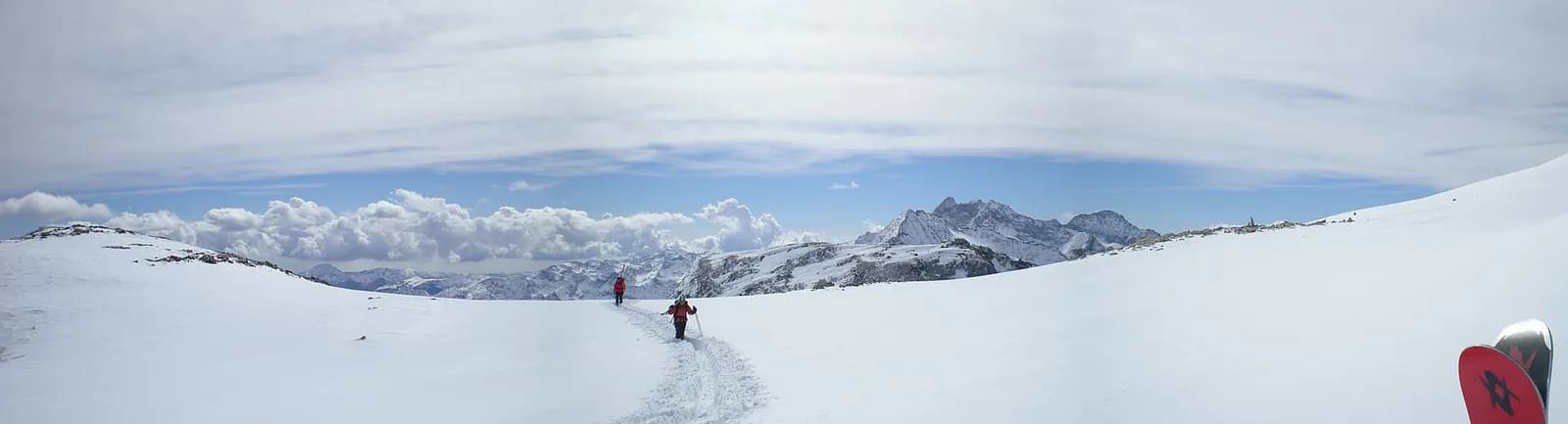
From Gabiet climb to the Col d’Olen (2,881 m), the historic pass between the Aosta Valley and Piedmont used by Monte Rosa mountaineers since the 19th century. A long descent down the Olen valley leads to Alagna Valsesia (1,191 m), a Walser jewel below Monte Rosa’s south face.
The Col d’Olen is a pass steeped in mountaineering history: the Monte Rosa pioneers came this way, and minutes from the col the Mosso Institute has studied high-altitude physiology since 1907. The climb from Gabiet is short and scenic; at the pass, the ten-minute detour to the Corno del Camoscio is worth it for the view of the Lyskamm and Piramide Vincent. The long descent into Valsesia sheds 1,700 metres down the Olen valley, past the Pianalunga alps (lifts to Alagna) and the Walser hamlets of Pedemonte. Alagna, freeride capital, has every service.
Key points
Col d'Olen
2881 m · 4.1 km from start
Earth sciences
Geology & landscape
Monte Rosa is the core of the Penninic nappe of the same name: gneisses and granites of subducted, exhumed European continental crust. Around it the tour crosses the Zermatt-Saas ophiolite zone — green serpentinites, metabasalts and metagabbros, the floor of a vanished Jurassic ocean — outcropping at the Olen, Theodul and Cime Bianche passes. The 2,600-metre Macugnaga east face is the highest wall in the Alps and exposes the nappe in full section.
History & culture
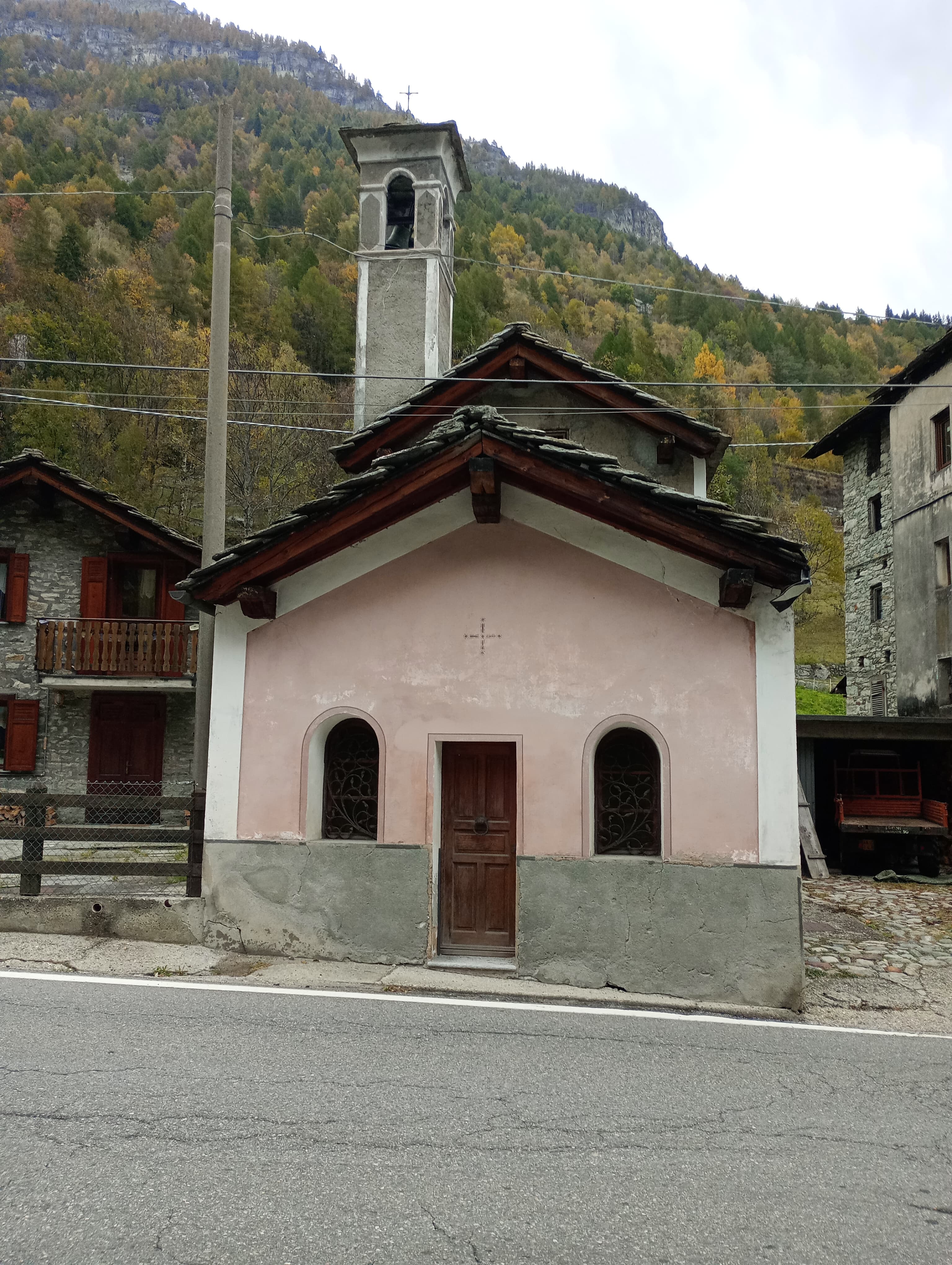
At the Mosso Institute on the Col d’Olen, since 1907, human physiology at altitude has been studied: Nobel laureates worked there and modern mountain medicine was born there. Alagna is the Rosa’s other great Walser colony.
Water sources
Water at the stage's support points (Lago Gabiet, Rifugio Gabiet, Alagna Valsesia). On the high ground and at the passes springs are not guaranteed: fill bottles in the valley and at the huts.
Getting there
Cross-border stage: on the foreign sides local public transport applies (PostAuto in Switzerland, line buses in France/Piedmont). Check seasonal timetables; in peak season several access links run by reservation only.
Warnings
- Snowfields possible on the passes until early July
- Book overnight stops in peak season
Start & end
Start
Lago Gabiet
2364 m
Finish
Alagna Valsesia
1171 m
Refuges & bivouacs
Photo gallery
Adjacent stages
ACurated and verified by Andrea
Data source: Tour del Monte Rosa — itinerario internazionale segnalato (TMR) · Traccia calcolata su rete sentieri OpenStreetMap (ODbL); verificare sul terreno
Last verified:
Valle del Lys — Valsesia (Piemonte)
Related trails
Same valley or similar routes — more hikes to explore.

Valle del Lys
Anello dei Gemelli della Mologna
8.9 km · +996 m · EEA — from Niel to Niel (Great St Bernard Valley).

Valle del Lys
Balmeto - Leck Albezò
1.2 km · +287 m · E — from Balmeto to Leck Albezò (Champorcher Valley).

Valle del Lys
Bino - Passo di Valnera
4.5 km · +1280 m · E — from Bino to Alpe Jatza (Champorcher Valley).
Valle del Lys
Cascate di Niel
0.6 km · +80 m · E — from Start 7B to Cascate di Niel (Great St Bernard Valley).