Valsesia — Valle Anzasca (Piemonte)
Tour Monte Rosa — Stage 3: Alagna Valsesia → Macugnaga
25.8 km
+1689 m
−1797 m
13.5 h
Fitness level
Map & route
GPX track — verify on the ground before hiking
Description
A long, lonely stage: from Alagna ascend the Turlo valley past Alpe Faller to the Colle del Turlo (2,738 m) on a spectacular paved mule track from the 1920s. An endless descent through the Quarazza valley, past the “Fairies’ lake”, reaches Macugnaga (1,327 m) below Monte Rosa’s east face.
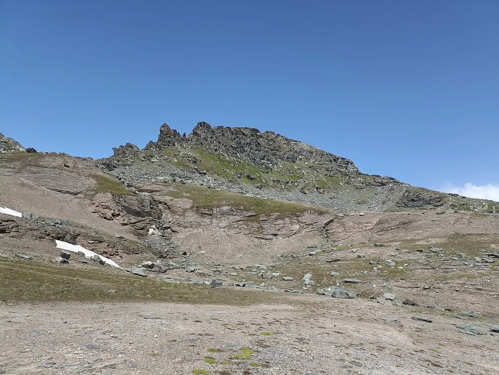
The queen stage of the TMR, long and remote: from the Walser hamlet of Sant’Antonio you ascend the entire Turlo valley, where there are no huts — only ruined alps and silence. The paved mule road, built by the Intra battalion in the 1920s, climbs at a steady gradient to the 2,738-metre col: a masterpiece of military engineering that makes the height gain almost pleasant. On the Ossola side you descend the Quarazza valley, among marmots, to the Lake of the Fairies and the hamlet of the same name. A dawn start is mandatory; water from streams all the way up.
Key points
Colle del Turlo
2738 m · 11.6 km from start
Earth sciences
Geology & landscape
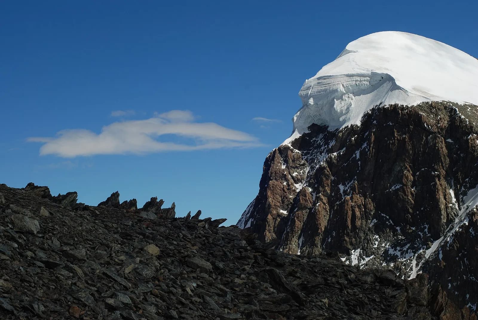
Monte Rosa is the core of the Penninic nappe of the same name: gneisses and granites of subducted, exhumed European continental crust. Around it the tour crosses the Zermatt-Saas ophiolite zone — green serpentinites, metabasalts and metagabbros, the floor of a vanished Jurassic ocean — outcropping at the Olen, Theodul and Cime Bianche passes. The 2,600-metre Macugnaga east face is the highest wall in the Alps and exposes the nappe in full section.
History & culture
The Turlo mule road was paved in 1923-25 by the Intra alpine battalion for military ends: today it is a monument of mountain engineering. The pass had linked the Walser communities of Alagna and Macugnaga for centuries.
Water sources
Water at the stage's support points (Alagna Valsesia, Macugnaga). On the high ground and at the passes springs are not guaranteed: fill bottles in the valley and at the huts.
Getting there
Cross-border stage: on the foreign sides local public transport applies (PostAuto in Switzerland, line buses in France/Piedmont). Check seasonal timetables; in peak season several access links run by reservation only.
Warnings
- Check the weather: long high-altitude stages with few escape routes
- Snowfields possible on the passes until early July
- Book overnight stops in peak season
Start & end
Start
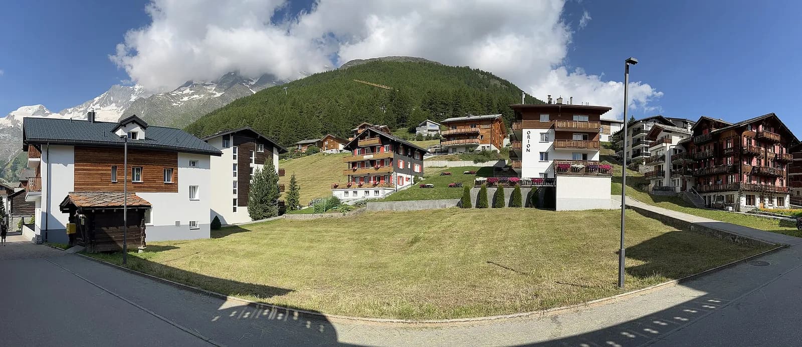
Alagna Valsesia
1169 m
Finish
Macugnaga
1309 m
Adjacent stages
ACurated and verified by Andrea
Data source: Tour del Monte Rosa — itinerario internazionale segnalato (TMR) · Traccia calcolata su rete sentieri OpenStreetMap (ODbL); verificare sul terreno
Last verified:
Valsesia — Valle Anzasca (Piemonte)
Related trails
Same valley or similar routes — more hikes to explore.
Valle del Lys
Tour Monte Rosa — Stage 1: Gressoney-Saint-Jean → Lago Gabiet
From the Walser capital to Lake Gabiet.
Val d’Ayas — Valle del Lys
Tour Monte Rosa — Stage 10: Saint-Jacques → Gressoney-Saint-Jean
The Pinter pass closes the Aosta Valley loop of the Rosa.
Saastal (Vallese)
Tour Monte Rosa — Stage 5: Saas-Almagell → Grächen
Saas-Fee and the Balfrin Höhenweg, a high path suspended over the Saastal.
Mattertal (Vallese)
Tour Monte Rosa — Stage 6: Grächen → Europahütte
The first half of the Europaweg, suspended above the Mattertal.