Tour Monte Rosa — Stage 10: Saint-Jacques → Gressoney-Saint-Jean
17.5 km
+1297 m
−1692 m
10.5 h
Fitness level
Map & route
GPX track — verify on the ground before hiking
Description
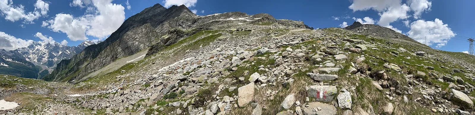
From Saint-Jacques descend along the Evançon to Champoluc, then climb the Cunéaz valley to the Pinter pass (2,777 m), with the four-thousanders of Monte Rosa back on the horizon. The descent through the Loo valley, among Walser pastures, returns to Gressoney-Saint-Jean, closing the loop.
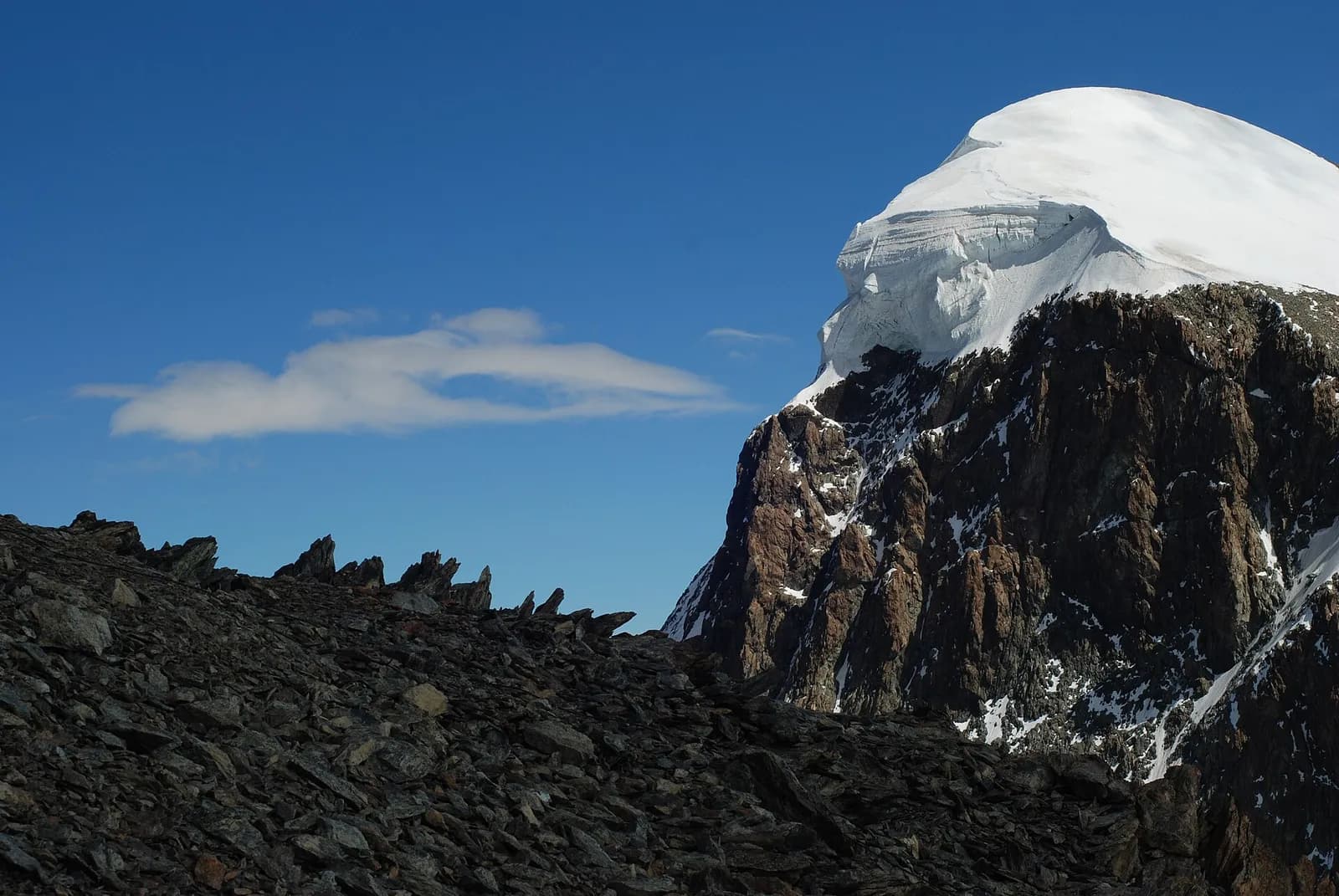
The loop’s last pass is also one of its finest: from the Champoluc valley floor you ascend the Cunéaz valley, dotted with perfectly preserved Walser hamlets, to the tarns below the Pinter pass. From the col, a 360-degree summary of the whole trek: Monte Rosa from Castor to the Lyskamm, the distant Matterhorn, and the Gressoney plains below. The descent through the Loo valley is a beautiful farewell, among stone-roofed chalets and impossibly steep pastures, down to Gressoney-Saint-Jean, where the loop closes facing Monte Rosa. The Crest cable car usefully cuts the first 600 metres.
Key points
Colle Pinter
2777 m · 8 km from start
Earth sciences
Geology & landscape
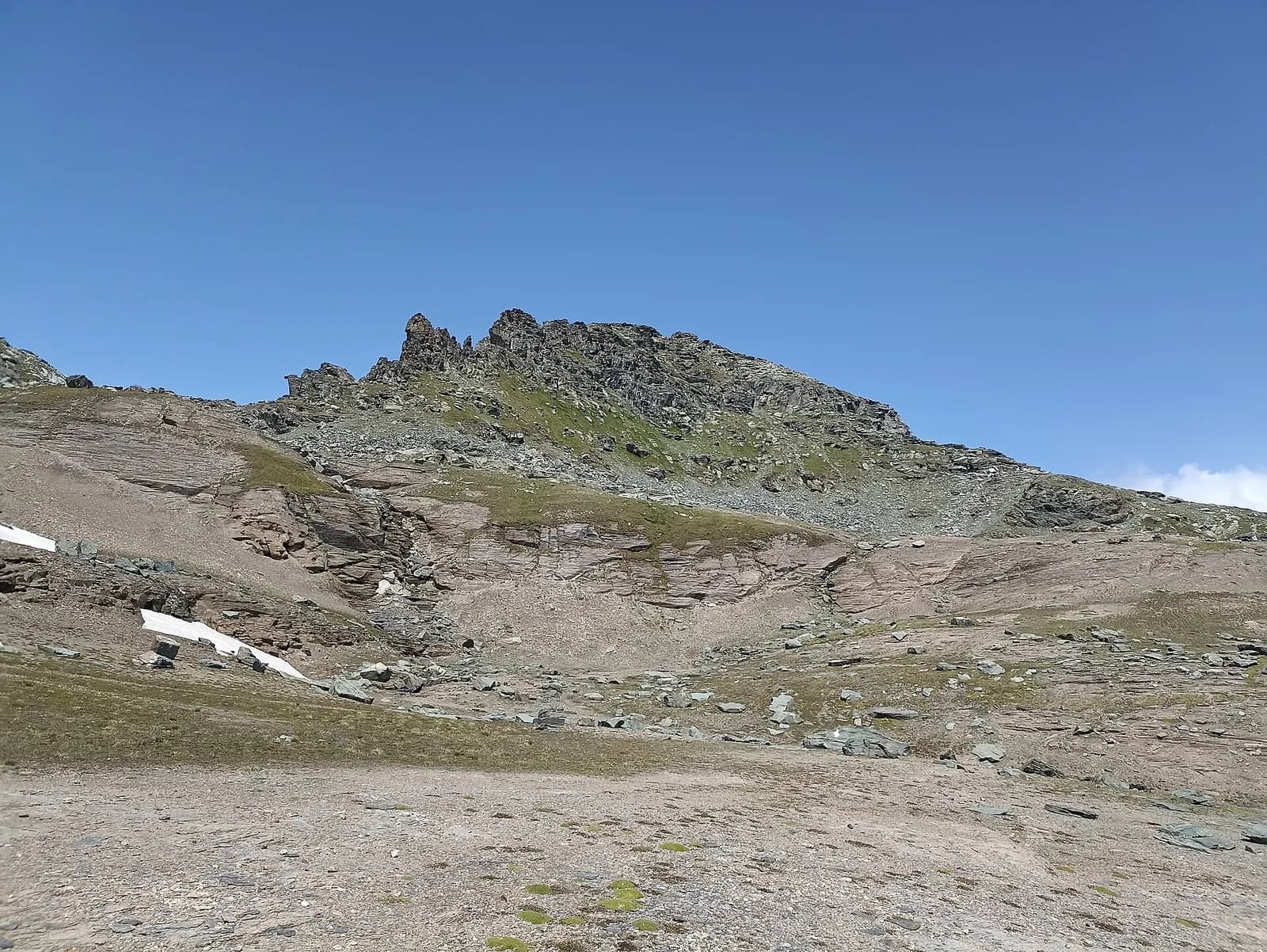
Monte Rosa is the core of the Penninic nappe of the same name: gneisses and granites of subducted, exhumed European continental crust. Around it the tour crosses the Zermatt-Saas ophiolite zone — green serpentinites, metabasalts and metagabbros, the floor of a vanished Jurassic ocean — outcropping at the Olen, Theodul and Cime Bianche passes. The 2,600-metre Macugnaga east face is the highest wall in the Alps and exposes the nappe in full section.
History & culture
The Walser hamlets of Cunéaz and Loo, today reachable only on foot, were inhabited year-round until the early 1900s: their stadel barns and stone fountains tell of a vertical economy that lasted six centuries.
Water sources
Water at the stage's support points (Saint-Jacques, Gressoney-Saint-Jean). On the high ground and at the passes springs are not guaranteed: fill bottles in the valley and at the huts.
Getting there
Aosta Valley side served by VITA buses and connections from Aosta; many valley heads have summer shuttles. Check seasonal timetables at arriva.it / vita-vda.com.
Warnings
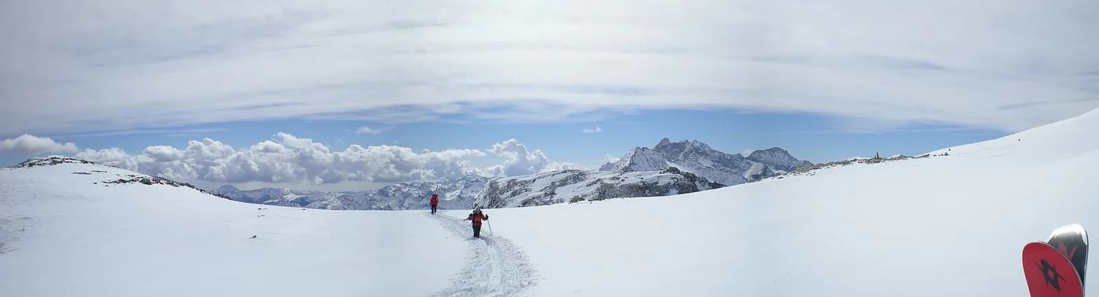
- Snowfields possible on the passes until early July
- Book overnight stops in peak season
Start & end
Start
Saint-Jacques
1690 m
Finish
Gressoney-Saint-Jean
1399 m
Adjacent stages
ACurated and verified by Andrea
Data source: Tour del Monte Rosa — itinerario internazionale segnalato (TMR) · Traccia calcolata su rete sentieri OpenStreetMap (ODbL); verificare sul terreno
Last verified:
Val d’Ayas — Valle del Lys
Related trails
Same valley or similar routes — more hikes to explore.
Valle del Lys
Tour Monte Rosa — Stage 1: Gressoney-Saint-Jean → Lago Gabiet
From the Walser capital to Lake Gabiet.
Valle del Lys — Valsesia (Piemonte)
Tour Monte Rosa — Stage 2: Lago Gabiet → Alagna Valsesia
The Col d’Olen and the descent into Valsesia, beyond the Aosta Valley.
Valsesia — Valle Anzasca (Piemonte)
Tour Monte Rosa — Stage 3: Alagna Valsesia → Macugnaga
The Colle del Turlo, a long, solemn crossing on a military mule track.
Valle Anzasca — Saastal (Vallese)
Tour Monte Rosa — Stage 4: Macugnaga → Saas-Almagell
The Monte Moro pass and the golden Madonna facing the east face.