Tour Monte Rosa — Stage 9: Breuil-Cervinia → Saint-Jacques
15.6 km
+1004 m
−1393 m
8.5 h
Fitness level
Map & route
GPX track — verify on the ground before hiking
Description
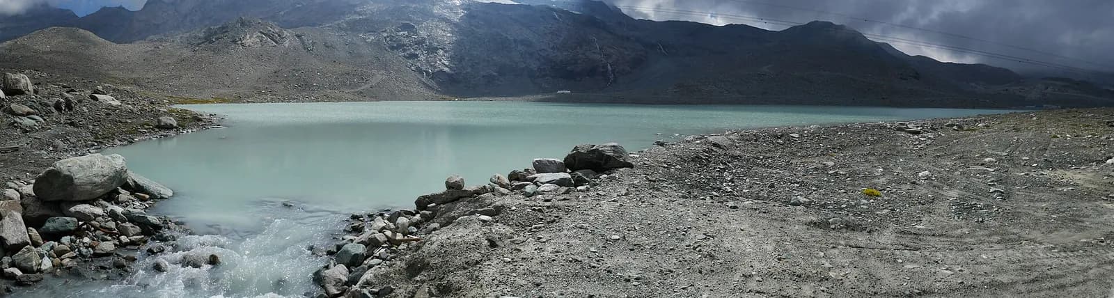
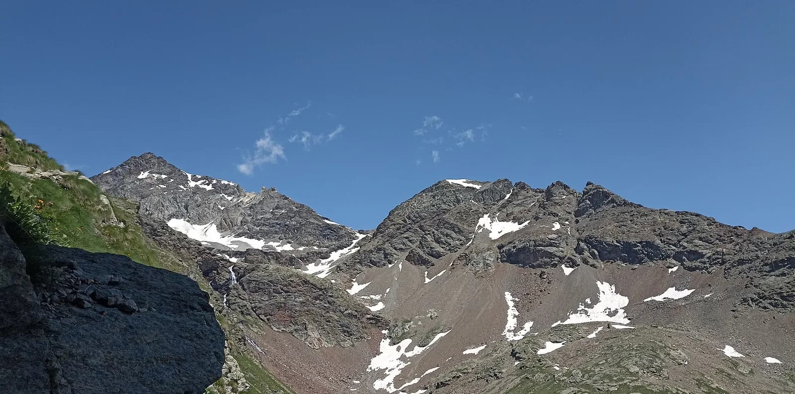
From Breuil-Cervinia climb to the upper Cime Bianche pass (2,982 m), a grand viewpoint over the Matterhorn and the Monte Rosa glaciers, then descend the wild Cime Bianche valley to Saint-Jacques (1,689 m), the last village of the Ayas valley.
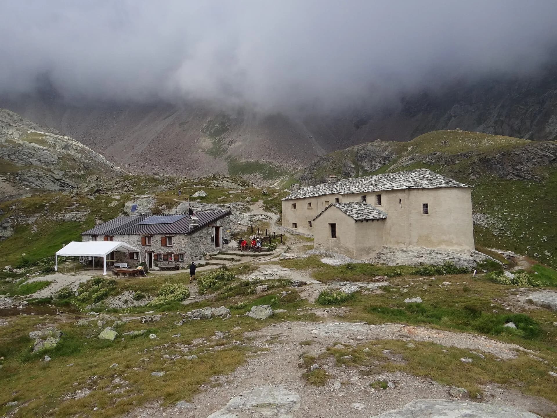
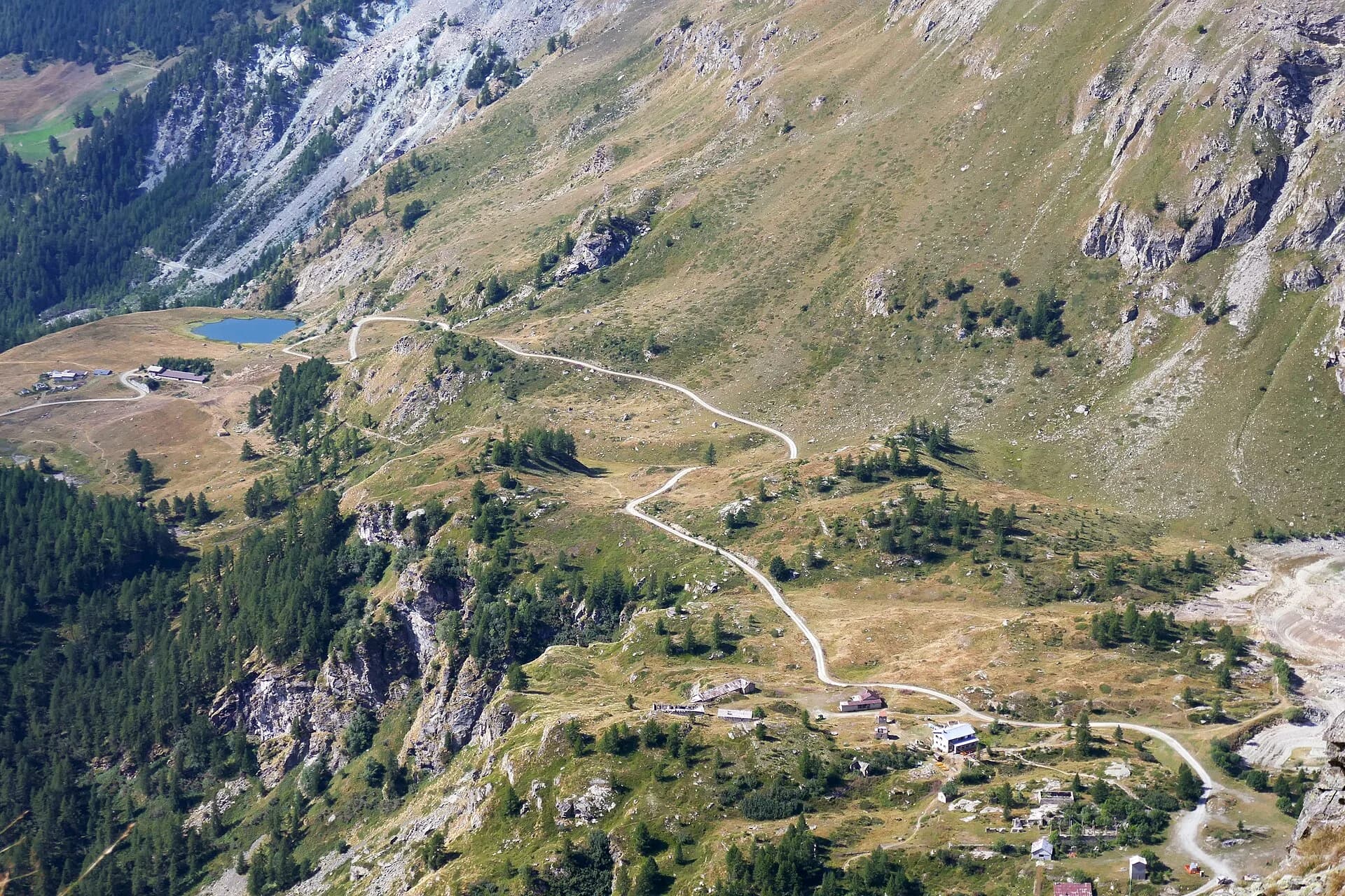
You leave the Breuil basin climbing gently to Plan Maison and on into the Cime Bianche valley, surprisingly lonely despite the nearby lifts: glacial tarns, high grasslands and the Matterhorn taking its leave behind you. The upper Cime Bianche pass is a double balcony: back to the Gran Becca, forward to the Monte Rosa glaciers above the Verra basin. The long descent passes the Gran Lago and the Vascoccia plateaus before dropping to Saint-Jacques, the old Walser roadhead of the Ayas valley, with fountains, a gîte and buses to Champoluc.
Key points
Colle Superiore delle Cime Bianche
2982 m · 6.3 km from start
Earth sciences
Geology & landscape
Monte Rosa is the core of the Penninic nappe of the same name: gneisses and granites of subducted, exhumed European continental crust. Around it the tour crosses the Zermatt-Saas ophiolite zone — green serpentinites, metabasalts and metagabbros, the floor of a vanished Jurassic ocean — outcropping at the Olen, Theodul and Cime Bianche passes. The 2,600-metre Macugnaga east face is the highest wall in the Alps and exposes the nappe in full section.
History & culture
The Cime Bianche valley has long been contested between plans for a Cervinia-Monterosa Ski lift link and those defending it as the last untouched valley of the Aosta Rosa.
Water sources
Water at the stage's support points (Breuil-Cervinia, Saint-Jacques). On the high ground and at the passes springs are not guaranteed: fill bottles in the valley and at the huts.
Getting there
Aosta Valley side served by VITA buses and connections from Aosta; many valley heads have summer shuttles. Check seasonal timetables at arriva.it / vita-vda.com.
Warnings
- Snowfields possible on the passes until early July
- Book overnight stops in peak season
Start & end
Start
Breuil-Cervinia
2001 m
Finish
Saint-Jacques
1690 m
Adjacent stages
ACurated and verified by Andrea
Data source: Tour del Monte Rosa — itinerario internazionale segnalato (TMR) · Traccia calcolata su rete sentieri OpenStreetMap (ODbL); verificare sul terreno
Last verified:
Valtournenche — Val d’Ayas
Related trails
Same valley or similar routes — more hikes to explore.
Valtournenche — Valpelline
Tour of the Matterhorn — Stage 1: Breuil-Cervinia → Rifugio Prarayer
The Valcournera pass, a stern gateway to the Valpelline.
Valtournenche — Val Saint-Barthélemy
High Route 1 — Stage 10: Rifugio Jean Barmasse → Rifugio Oratorio di Cuney
The wild heart of the Alta Via: 17 km across Fenêtre de Tsan, Col Terray and on to Rifugio Oratorio di Cuney, with Matterhorn and Grand Combin dominating a horizon of 2700-metre passes.

Valtournenche
High Route 1 — Stage 8: Rifugio Grand Tournalin → Valtournenche
The great descent: from Rifugio Grand Tournalin losing over a thousand metres to the valley floor of Valtournenche, passing through the scenic plateau of Cheneil with Matterhorn views.
Valtournenche
High Route 1 — Stage 9: Valtournenche → Rifugio Jean Barmasse
The shortest stage on the entire AV1: 4.7 km of sustained climbing from Valtournenche to Rifugio Jean Barmasse on the shores of Lago di Cignana, in preparation for the hardest day ahead.