High Route 1 — Stage 8: Rifugio Grand Tournalin → Valtournenche
8.7 km
+309 m
−1317 m
4.5 h
Fitness level
~2600 kcal estimated
Elevation profile
Map & route
Download GPXOfficial GPX track — Aosta Valley Region / lovevda.it
Description
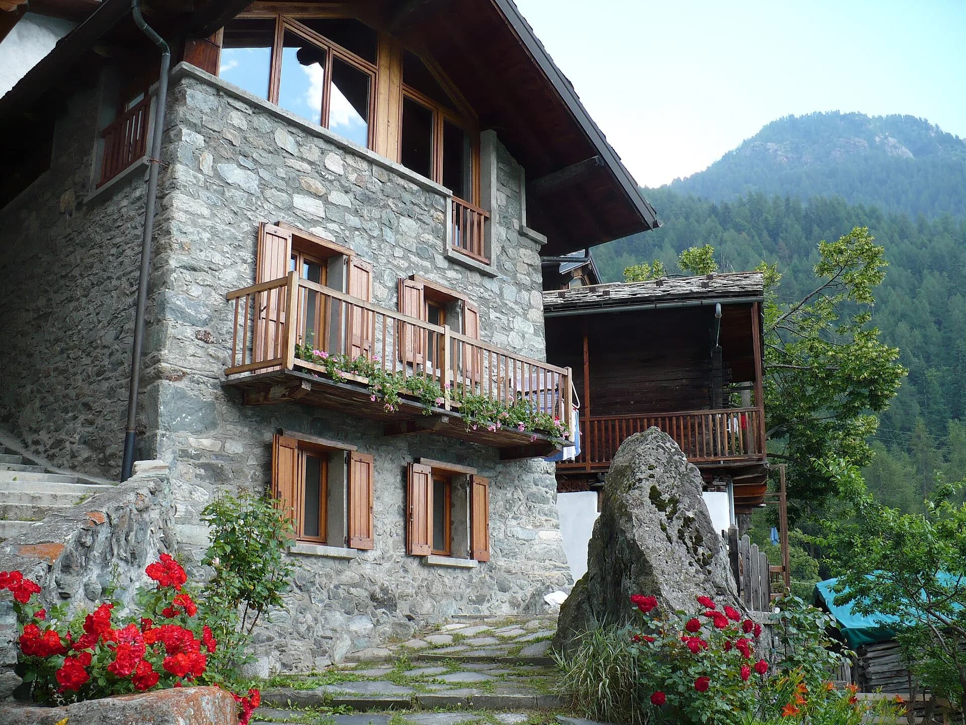
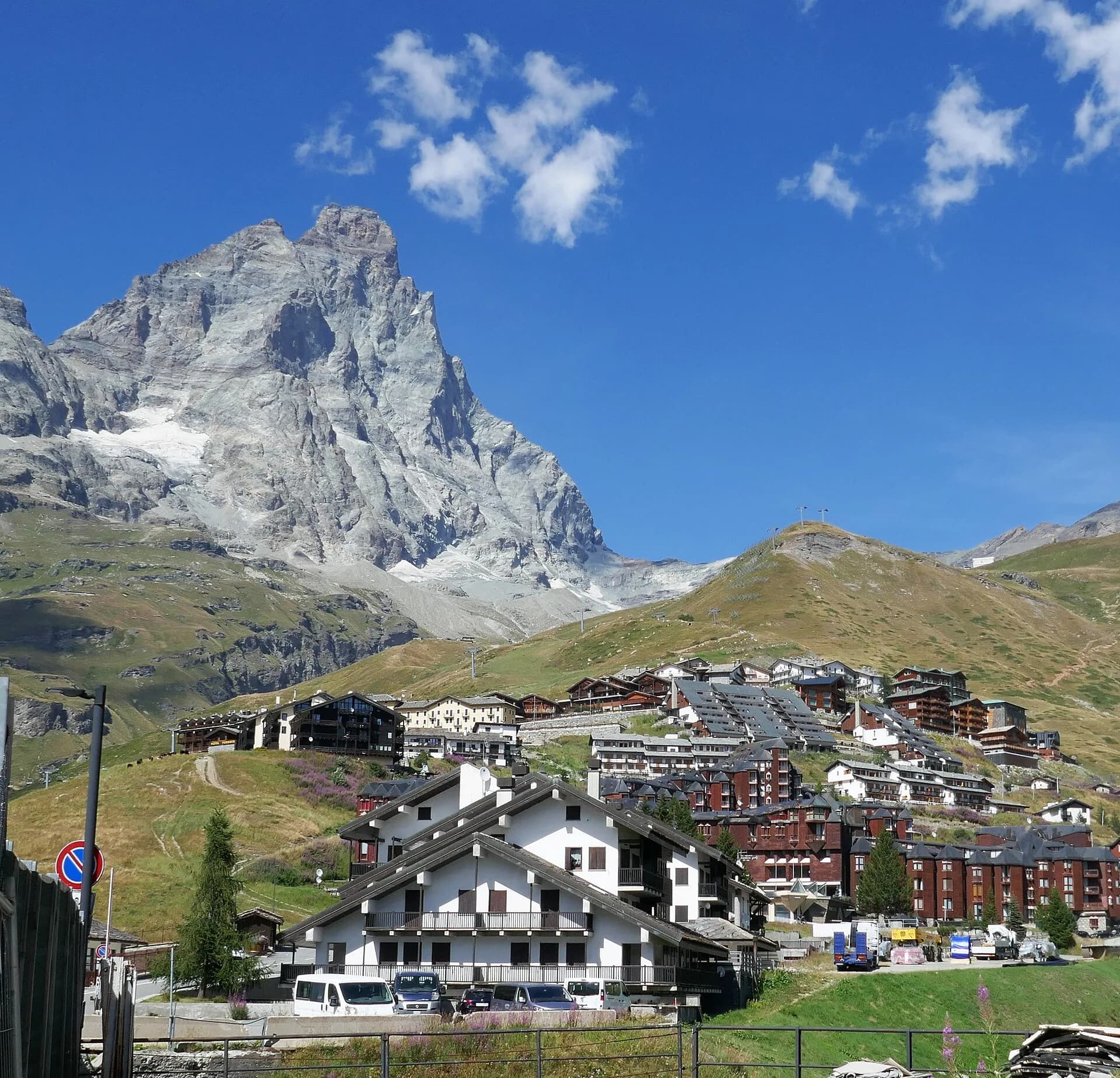
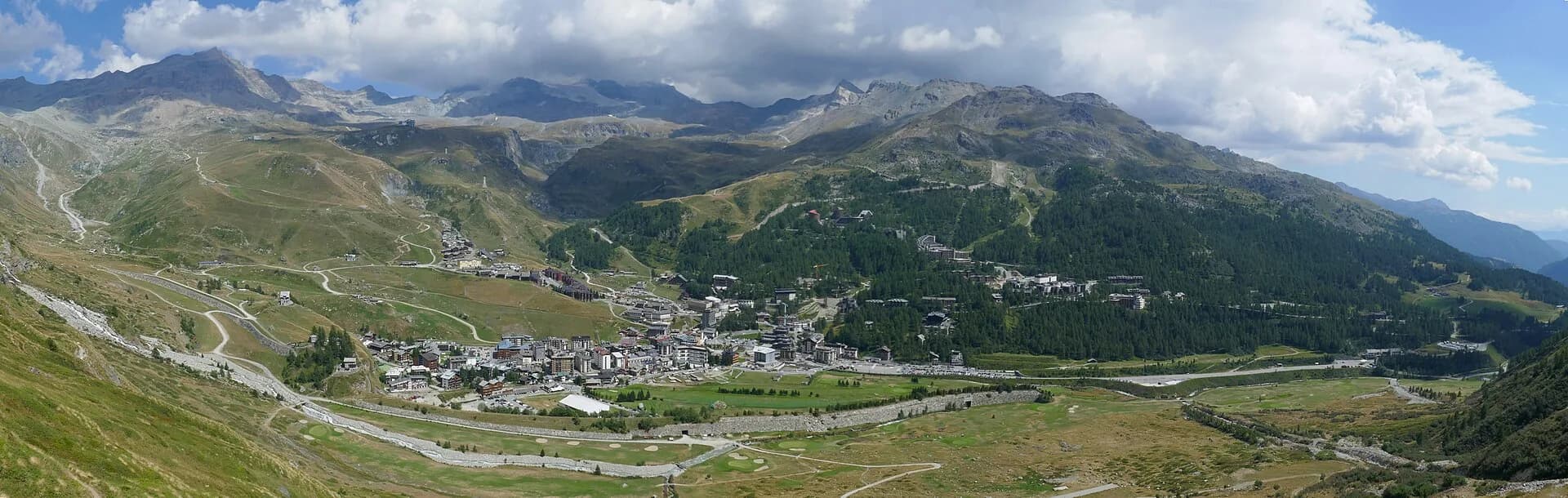
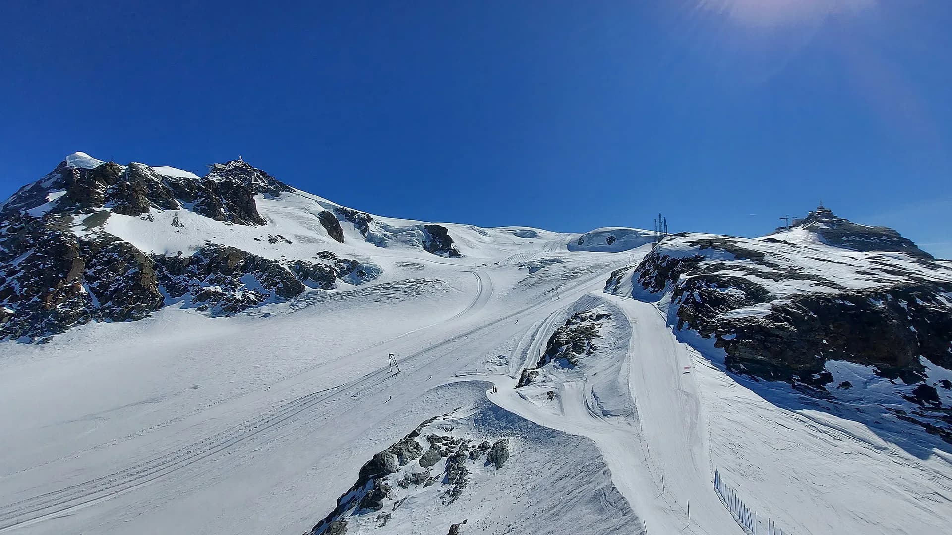
Stage eight is the longest descent in the central sequence of Alta Via 1: from Rifugio Grand Tournalin at 2535 metres the trail drops over a thousand metres to the valley floor of Valtournenche, the main village of the valley that hosts the Breuil-Cervinia ski resort above. The first descent section is steep on mixed terrain, with the Matterhorn accompanying almost every step. As altitude decreases the landscape shifts markedly: alpine scree and high pastures give way to larch and Norway spruce forest, rushing streams and roadside stone chapels. The trail reaches the plateau of Cheneil — a small highland with a spectacular balcony view over the entire valley — before the final descent to Valtournenche (1520 m). The village offers all necessary services: supermarkets, pharmacy, restaurants and hotels. The difficulty is rated E since the elevation change is almost entirely downhill with no technical sections. Trekking poles are strongly recommended, particularly on the initial steep stretch, to protect the knees. From Valtournenche a cable car ascends to Cervinia and the Swiss border at Plateau Rosà.
Key points
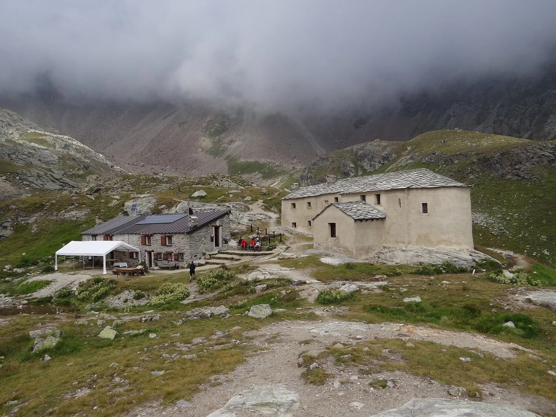
Rifugio Grand Tournalin
2535 m · 0 km from start
Stage start
Valtournenche
1520 m · 8.7 km from start
Stage finish, full services
Earth sciences
Geology & landscape
The descent from Tournalin crosses the eastern slope of the Matterhorn massif, composed of Penninic gneiss and calcschists with quartz and mica bands. Cheneil overlooks Würmian glacial deposits of the Valtournenche glacier with terminal moraines and fluvio-glacial terraces. Below 2000 m, ophiolite outcrops (serpentinites and metabasalts) typical of the upper Penninic stack appear. The Valtournenche valley floor shows recent alluvial deposits of the Marmore stream with pebbles of gneiss, limestone and serpentinite. Forested slopes display paleosols on decomposed glacial deposits. The Cignana dam (next stage) uses a natural basin on rebuilt Würmian moraines.
History & culture
Valtournenche is the historic capital of the Matterhorn valley, with roadside chapels and mountaineering tradition linked to early Matterhorn ascents.
Water sources
Water at the hut and Valtournenche centre. Springs in the forest during descent.
Getting there
VITA bus to Valtournenche and Cervinia. Valtournenche–Cervinia cable car for quick connection.
Parking
Parcheggi a Valtournenche centro e area funivia.
Warnings
- Steep descent: trekking poles recommended
- Dew-wet grass on grassy sections in the morning
Nearby peaks
Start & end
Start
Rifugio Grand Tournalin
2543 m
Finish
Valtournenche
1528 m
Refuges & bivouacs
Photo gallery
Flora along the trail
Wildlife to spot
Themes and features
Adjacent stages
ACurated and verified by Andrea
Data source: Catasto Sentieri Regione VdA + AllTrails (8.7 km verificati) + thealps.com · Open data — DGR 899/2014
Last verified:
Valtournenche
Related trails
Same valley or similar routes — more hikes to explore.
Valtournenche — Val Saint-Barthélemy
High Route 1 — Stage 10: Rifugio Jean Barmasse → Rifugio Oratorio di Cuney
The wild heart of the Alta Via: 17 km across Fenêtre de Tsan, Col Terray and on to Rifugio Oratorio di Cuney, with Matterhorn and Grand Combin dominating a horizon of 2700-metre passes.
Valtournenche
Matterhorn Tour — Stage 1: Breuil-Cervinia → Rifugio Duca degli Abruzzi
Climb from Cervinia to Rifugio Duca degli Abruzzi below the east face.
Valtournenche
Matterhorn Tour — Stage 2: Rifugio Duca degli Abruzzi → Rifugio Oriondé
Traverse toward Rifugio Oriondé and Plateau Rosa.
Valtournenche
Matterhorn Tour — Stage 3: Rifugio Oriondé → Colle del Teodulo
Climb to Colle del Teodulo, pass toward the Swiss side of the tour.