Tour Monte Rosa — Stage 5: Saas-Almagell → Grächen
25.9 km
+1072 m
−1424 m
11.5 h
Fitness level
Map & route
GPX track — verify on the ground before hiking
Description
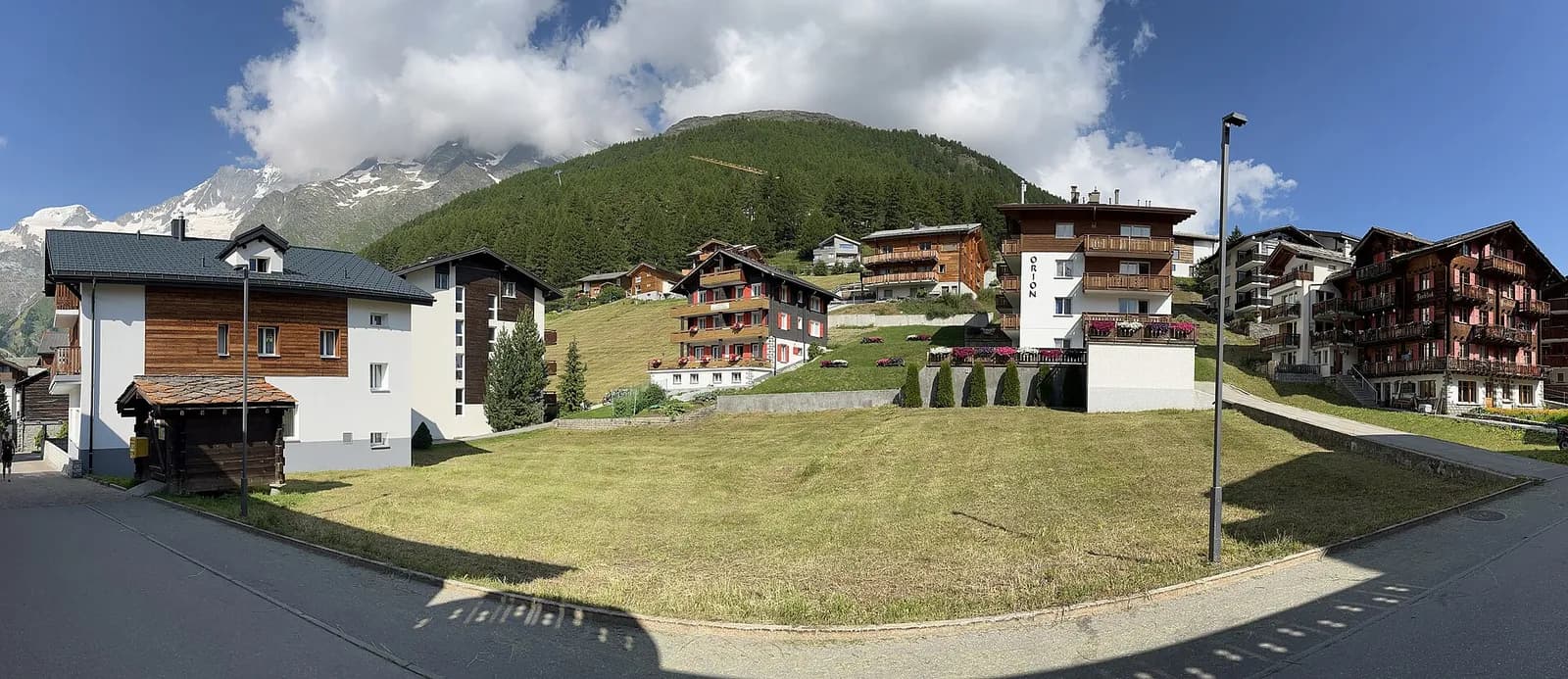
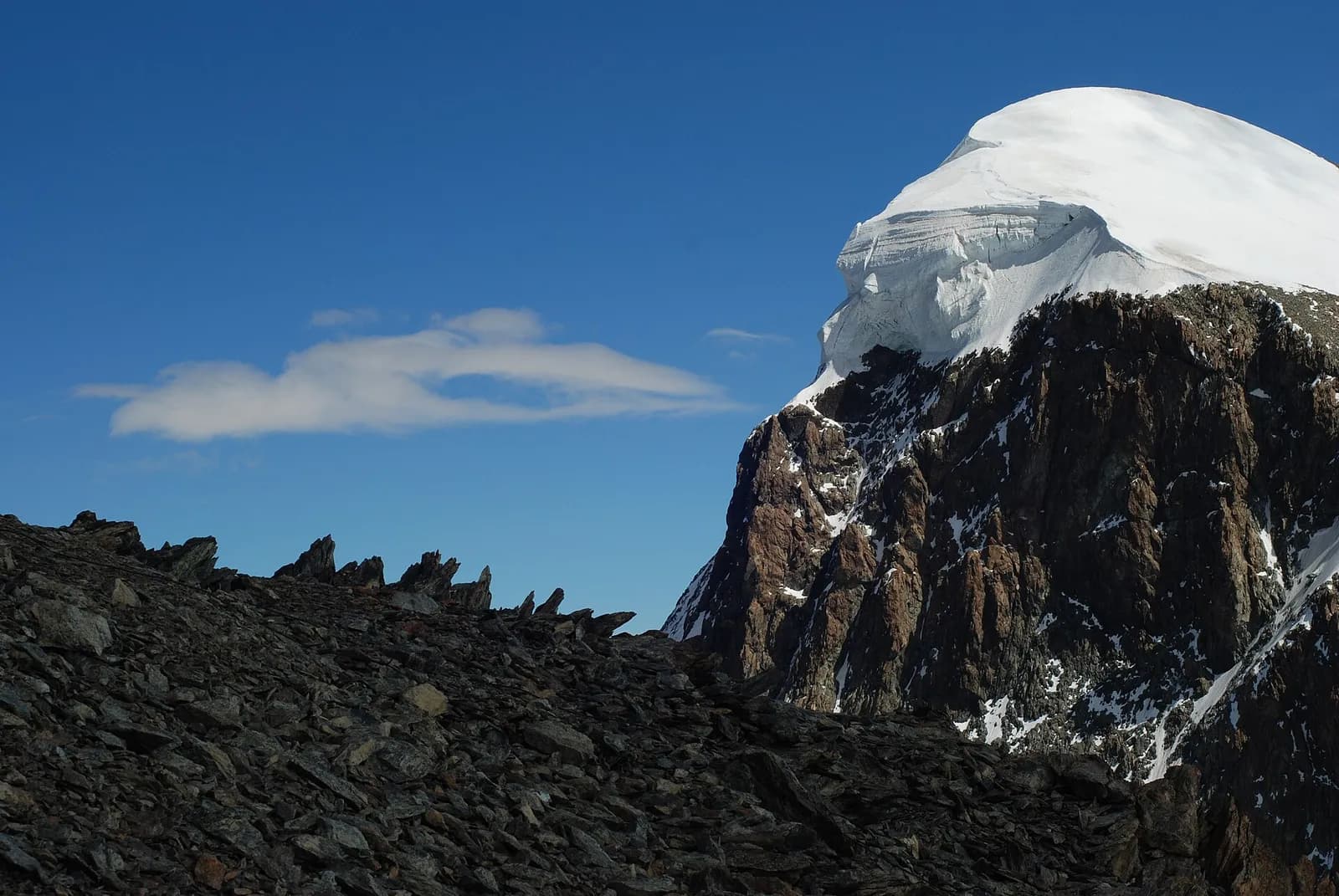
From Saas-Almagell reach the glacial basin of Saas-Fee (1,798 m), the “pearl of the Alps”, start of the famous Balfrin Höhenweg: a long, partly exposed high-level trail along the west flank of the Saastal to the sunny terrace of Grächen (1,619 m).
A long day in two acts. The first is gentle: valley-floor paths link Saas-Almagell to Saas-Fee, the car-free “glacier village” ringed by thirteen four-thousanders. The second is the famous Balfrin Höhenweg, opened in 1954: a true high-level route cutting across the flanks of the Balfrin through stone-pine woods, moraine hollows and short fixed-rope sections, suspended up to 1,200 metres above the valley. No refreshment for six hours: load up on water and food in Saas-Fee. Grächen welcomes you with its sunny terrace and ancient irrigation channels (bisses).
Earth sciences
Geology & landscape
Monte Rosa is the core of the Penninic nappe of the same name: gneisses and granites of subducted, exhumed European continental crust. Around it the tour crosses the Zermatt-Saas ophiolite zone — green serpentinites, metabasalts and metagabbros, the floor of a vanished Jurassic ocean — outcropping at the Olen, Theodul and Cime Bianche passes. The 2,600-metre Macugnaga east face is the highest wall in the Alps and exposes the nappe in full section.
History & culture
Saas-Fee, “pearl of the Alps”, has been car-free since 1951 by its inhabitants’ choice; the Balfrin Höhenweg, opened in 1954, was the first high-level trail in the Alps designed for multi-day trekking.
Water sources
Water at the stage's support points (Saas-Almagell, Grächen). On the high ground and at the passes springs are not guaranteed: fill bottles in the valley and at the huts.
Getting there
Cross-border stage: on the foreign sides local public transport applies (PostAuto in Switzerland, line buses in France/Piedmont). Check seasonal timetables; in peak season several access links run by reservation only.
Warnings
- Exposed equipped sections: surefootedness and a head for heights required
- Check the weather: long high-altitude stages with few escape routes
- Book overnight stops in peak season
Start & end
Start
Saas-Almagell
1672 m
Finish
Grächen
1636 m
Adjacent stages
ACurated and verified by Andrea
Data source: Tour del Monte Rosa — itinerario internazionale segnalato (TMR) · Traccia calcolata su rete sentieri OpenStreetMap (ODbL); verificare sul terreno
Last verified:
Saastal (Vallese)
Related trails
Same valley or similar routes — more hikes to explore.
Valle del Lys
Tour Monte Rosa — Stage 1: Gressoney-Saint-Jean → Lago Gabiet
From the Walser capital to Lake Gabiet.
Val d’Ayas — Valle del Lys
Tour Monte Rosa — Stage 10: Saint-Jacques → Gressoney-Saint-Jean
The Pinter pass closes the Aosta Valley loop of the Rosa.
Valle del Lys — Valsesia (Piemonte)
Tour Monte Rosa — Stage 2: Lago Gabiet → Alagna Valsesia
The Col d’Olen and the descent into Valsesia, beyond the Aosta Valley.
Valsesia — Valle Anzasca (Piemonte)
Tour Monte Rosa — Stage 3: Alagna Valsesia → Macugnaga
The Colle del Turlo, a long, solemn crossing on a military mule track.