Val Montjoie — Vallée des Glaciers
Tour du Mont Blanc — Stage 11: Les Contamines-Montjoie → Les Chapieux
18.6 km
+1341 m
−1045 m
9.5 h
Fitness level
Map & route
GPX track — verify on the ground before hiking
Description
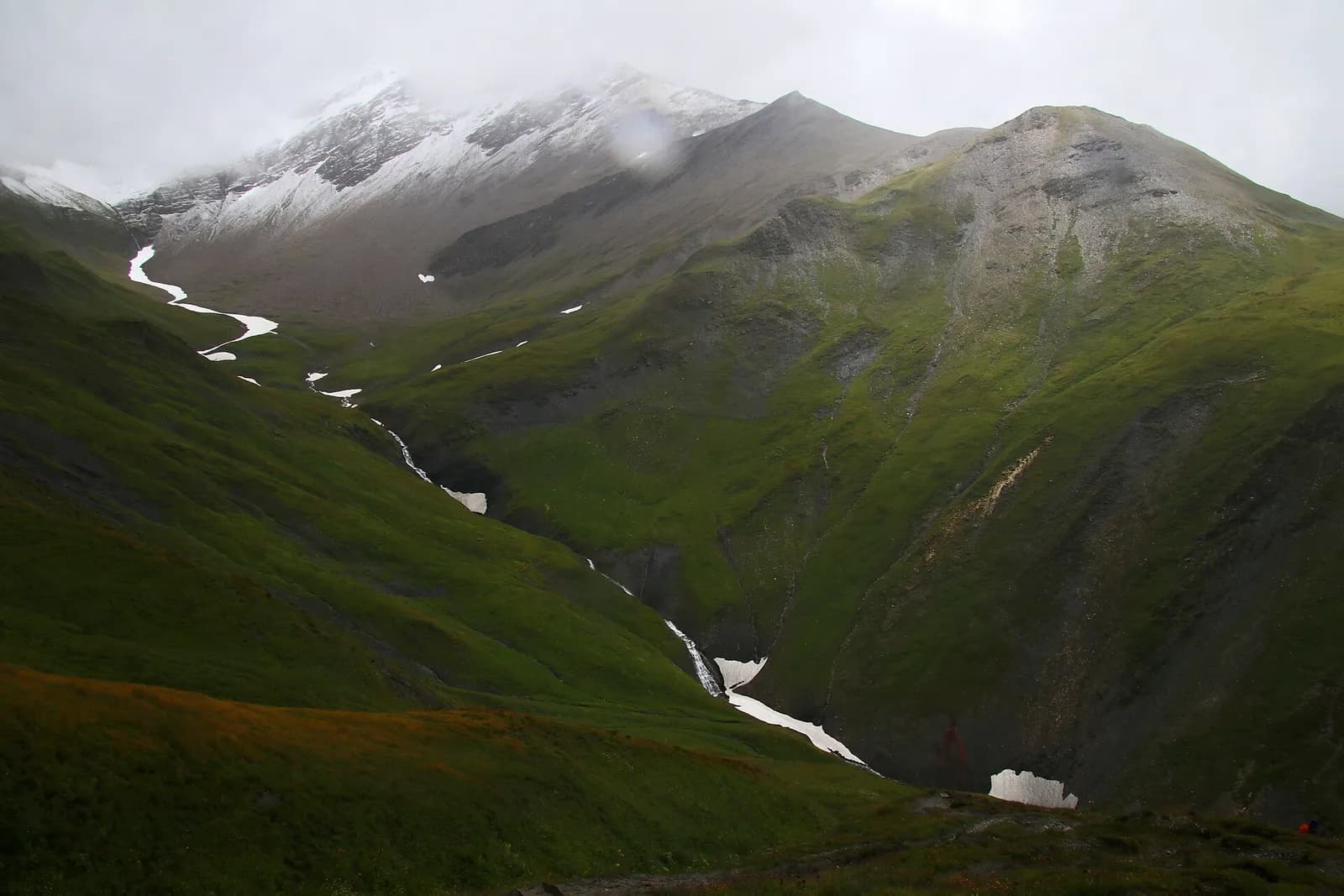
From Les Contamines climb past Notre-Dame de la Gorge, an ancient Roman way, to the Col du Bonhomme (2,329 m) and the Col de la Croix du Bonhomme (2,479 m), in stern, often snowy terrain. Descend into the pastoral Chapieux valley (1,554 m).
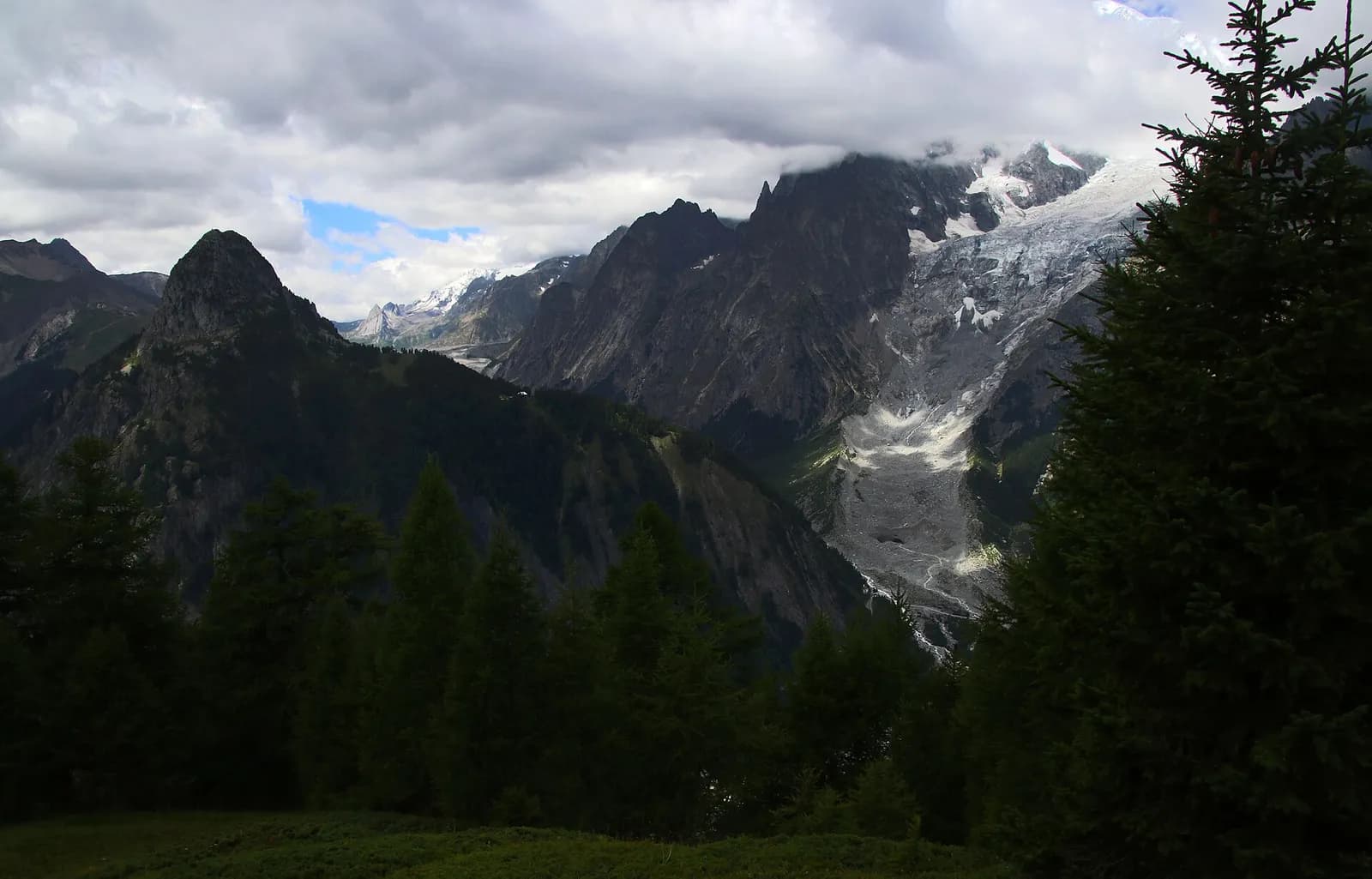
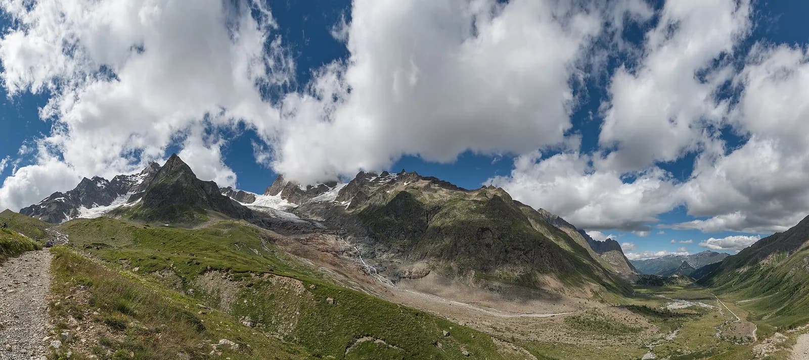
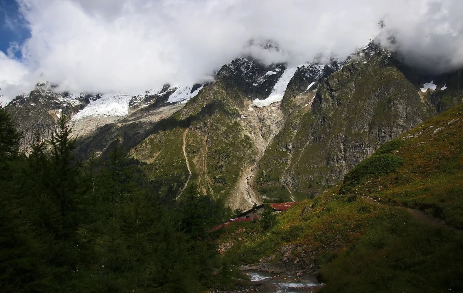
The most alpine stage on the French side begins on a Roman road: beyond the baroque sanctuary of Notre-Dame de la Gorge, the stepped paving climbs the torrent-cut gorge, in use for two thousand years. The glacial shelves of Nant Borrant and La Balme follow — both with refuges and water — then the landscape turns mineral: the Plan des Dames with its legendary cairn, the Col du Bonhomme, and finally the high traverse to the Croix du Bonhomme, often over snowfields even in midsummer. The drop to Les Chapieux is quick, through sheep pastures with marmots everywhere.
Key points
Col du Bonhomme
2329 m · 11.7 km from start
Col de la Croix du Bonhomme
2479 m · 13.8 km from start
Earth sciences
Geology & landscape
The Mont Blanc massif is a Hercynian granite batholith (~300 million years old) uplifted by the Alpine orogeny: the pale Mont Blanc granite — the “protogine” — forms the Peuterey and Géant spires. At its feet the tour walks on older crystalline basement rocks (gneiss and micaschist) and, in Val Veny, on the Mesozoic limestones of the Pyramides Calcaires, a sliver of sedimentary cover pinched between the granites. The Miage and Brenva moraines are textbook examples.
History & culture
The Roman way of Notre-Dame de la Gorge linked the Tarentaise to Mont Blanc: its natural bridge and stepped paving have been walked for two thousand years; the baroque sanctuary has drawn pilgrims since 1690.
Water sources
Water at the stage's support points (Les Contamines-Montjoie, Les Chapieux). On the high ground and at the passes springs are not guaranteed: fill bottles in the valley and at the huts.
Getting there
Cross-border stage: on the foreign sides local public transport applies (PostAuto in Switzerland, line buses in France/Piedmont). Check seasonal timetables; in peak season several access links run by reservation only.
Warnings
- Snowfields possible on the passes until early July
- Check the weather: long high-altitude stages with few escape routes
- Book overnight stops in peak season
Start & end
Start
Les Contamines-Montjoie
1164 m
Finish
Les Chapieux
1551 m
Adjacent stages
ACurated and verified by Andrea
Data source: Tour du Mont Blanc — itinerario internazionale segnalato · Traccia calcolata su rete sentieri OpenStreetMap (ODbL); verificare sul terreno
Last verified:
Val Montjoie — Vallée des Glaciers
Related trails
Same valley or similar routes — more hikes to explore.
Val Ferret
Tour du Mont Blanc — Stage 1: Courmayeur → Rifugio Giorgio Bertone
A steady climb from Courmayeur to the Rifugio Bertone balcony.
Val Veny
Tour du Mont Blanc — Stage 13: Rifugio Elisabetta Soldini → Courmayeur
Lac Combal, the Mont Favre balcony and closing the loop in Courmayeur.
Val Ferret
Tour du Mont Blanc — Stage 2: Rifugio Giorgio Bertone → Rifugio Walter Bonatti
The Mont de la Saxe balcony, face to face with the Grandes Jorasses.
Val Ferret
Tour du Mont Blanc — Stage 3: Rifugio Walter Bonatti → Rifugio Elena
Towards the head of Val Ferret, below the Pré de Bar glacier.