Frachey - Col du Rothorn
Warnings
- EE: exposed sections and difficult navigation in poor visibility.
Map & route
GPX track — verify on the ground before hiking
Fitness level
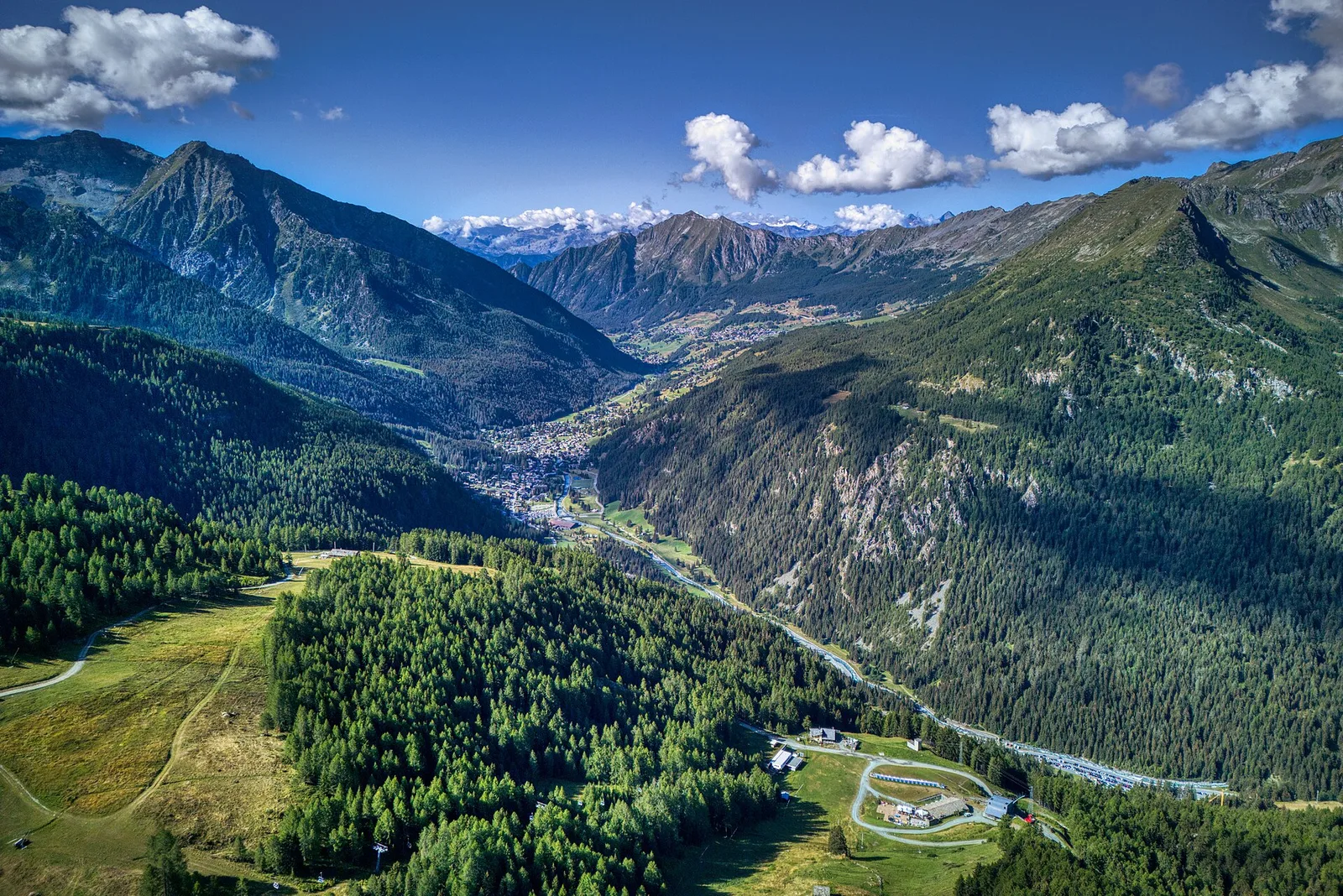
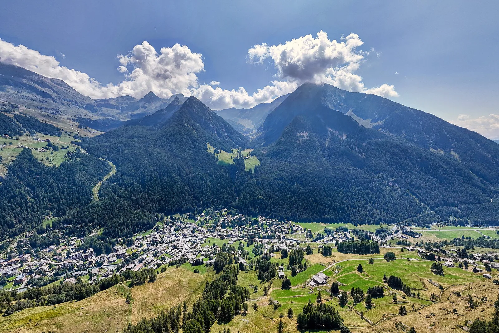
From Frachey (1620 m) in the Val d'Ayas, Avise, this trail climbs directly to the Col du Rothorn at 2692 m, a high pass linking Val d'Ayas to the Valle centrale. Over 5.7 km and 1094 metres of ascent, the terrain transitions from forested lower slopes through steep grassy ridges to rocky, exposed ground near the col. Rated EE, the route presents genuine technical challenges: exposed sections, potential early-season snowfields, and demanding navigation in poor visibility.
Along the way — you move facing the Monte Rosa massif and the Tournalin group. You reach high-altitude lakes, panoramic passes and scree frequented by marmots and ibex. It is for experienced hikers: steep or exposed sections, a sure foot is essential.
Getting there
Parking
Photo gallery
Photos are published immediately. JPG/PNG/WebP, max 6 MB.
Flora along the trail
Wildlife to spot
ACurated and verified by Andrea Rama
Data source: Catasto Sentieri Regione Autonoma VdA · Open data — DGR 899/2014
Last verified:
Val d'Ayas
Related trails
Same valley or similar routes — more hikes to explore.
Val d'Ayas
Amponey - Becca Trecare
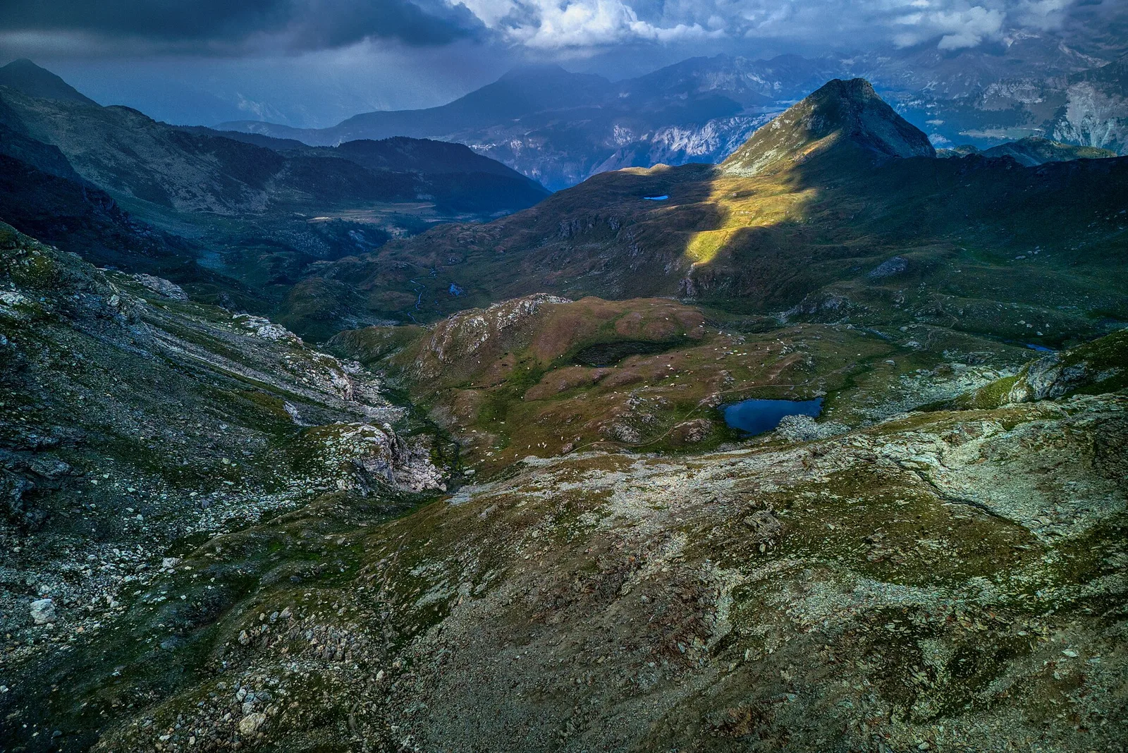
A demanding EE ascent from Amponey to Becca Trecare at 3032m — nearly 1500m of gain on varied terrain with sweeping summit views.
Val d'Ayas
Amponey - Alpe Mascognaz
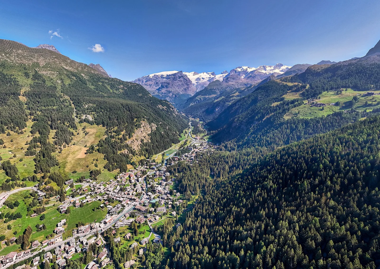
1.8 km · +309 m · E — from Amponey to Alpe Mascognaz (Central Valley).
Val d'Ayas
Amponey - Bec de Nannaz
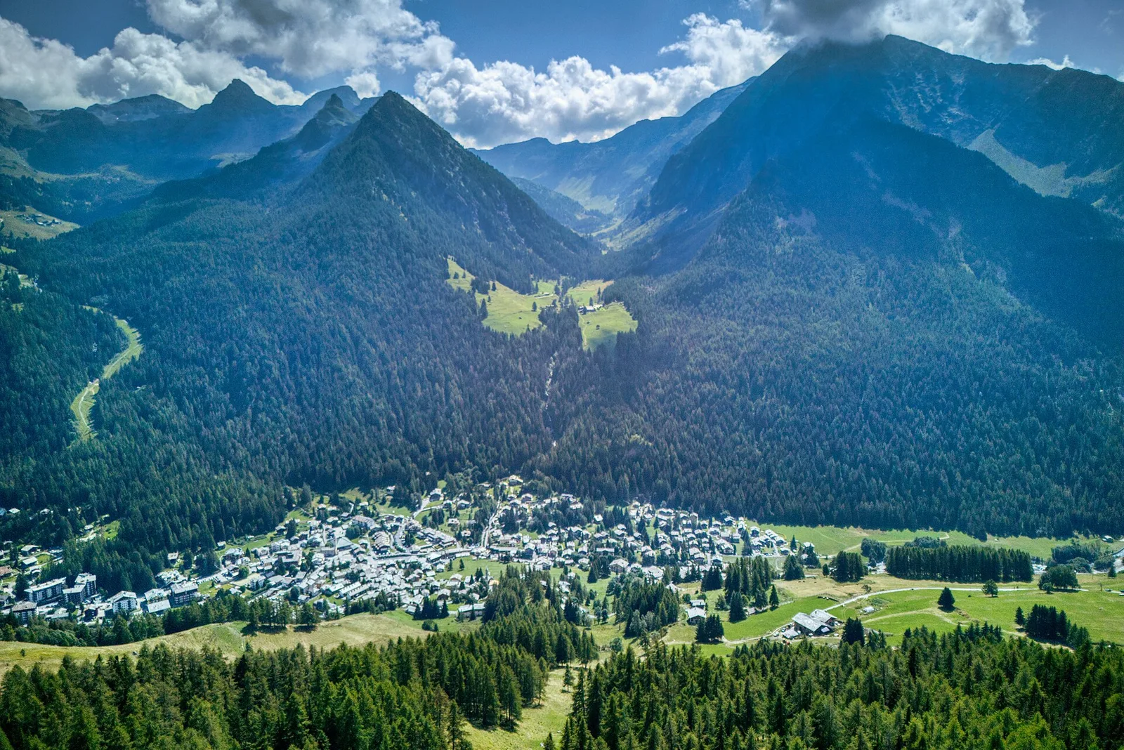
In the Val d'Ayas, Ayas: an E-rated climb toward a high-altitude objective through pastures and rock with views of Monte Rosa.
Val d'Ayas
Amponey - Mont Facebelle
In the Val d'Ayas, Ayas: an E/EE-rated climb toward a high-altitude objective in the alpine landscape.