Amponey - Mont Facebelle
Warnings
- EE route: experience on demanding mountain terrain, sure footing and navigation required.
- Exposed passages near the summit may require use of hands.
- Not recommended in bad weather, fog or residual snow.
Map & route
GPX track — verify on the ground before hiking
Fitness level
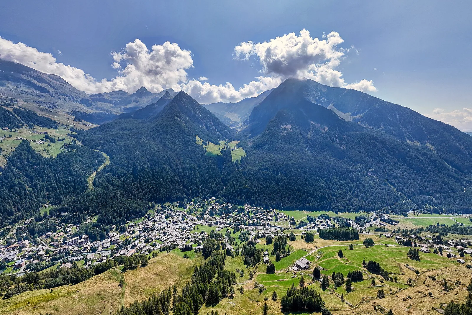
Mont Facebelle (2619m) dominates the skyline above Avise in the central Aosta Valley. This EE-rated route — for experienced mountain walkers only — climbs 1077 metres over 5.6km from the hamlet of Amponey (1550m). The ascent moves through dense forest before breaking onto open grassy ridges interspersed with rocky and scree sections demanding sure footing. Near the summit, exposed passages may require the use of hands. The reward is a 360-degree panorama taking in the Gran Paradiso chain, the Graian Alps, Monte Rosa and Mont Blanc, with the Dora Baltea valley stretching below. Not recommended in poor weather or when snow lingers at altitude.
Getting there
Parking
Photo gallery
Photos are published immediately. JPG/PNG/WebP, max 6 MB.
Flora along the trail
ACurated and verified by Andrea Rama
Data source: Catasto Sentieri Regione Autonoma VdA · Open data — DGR 899/2014
Last verified:
Val d'Ayas
Related trails
Same valley or similar routes — more hikes to explore.
Val d'Ayas
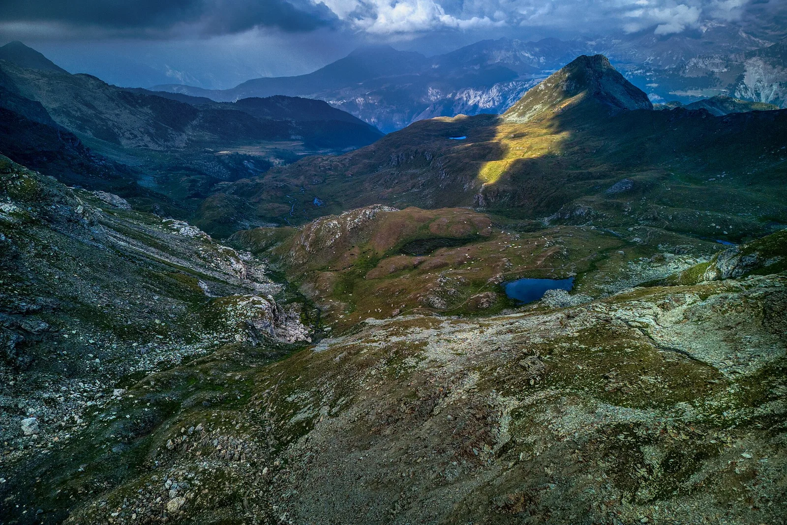
Amponey - Becca Trecare
A demanding EE ascent from Amponey to Becca Trecare at 3032m — nearly 1500m of gain on varied terrain with sweeping summit views.
Val d'Ayas
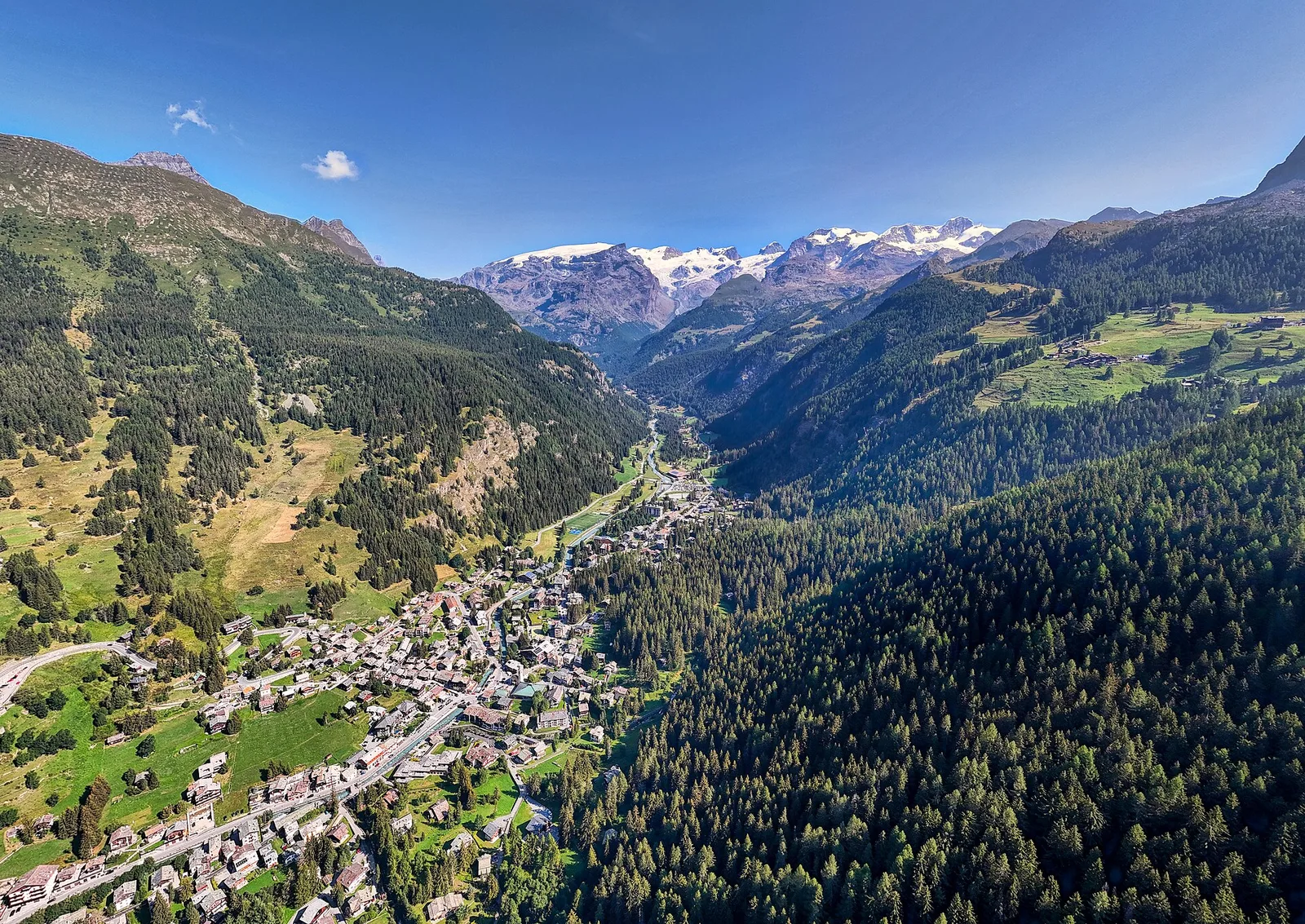
Amponey - Alpe Mascognaz
1.8 km · +309 m · E — from Amponey to Alpe Mascognaz (Central Valley).
Val d'Ayas
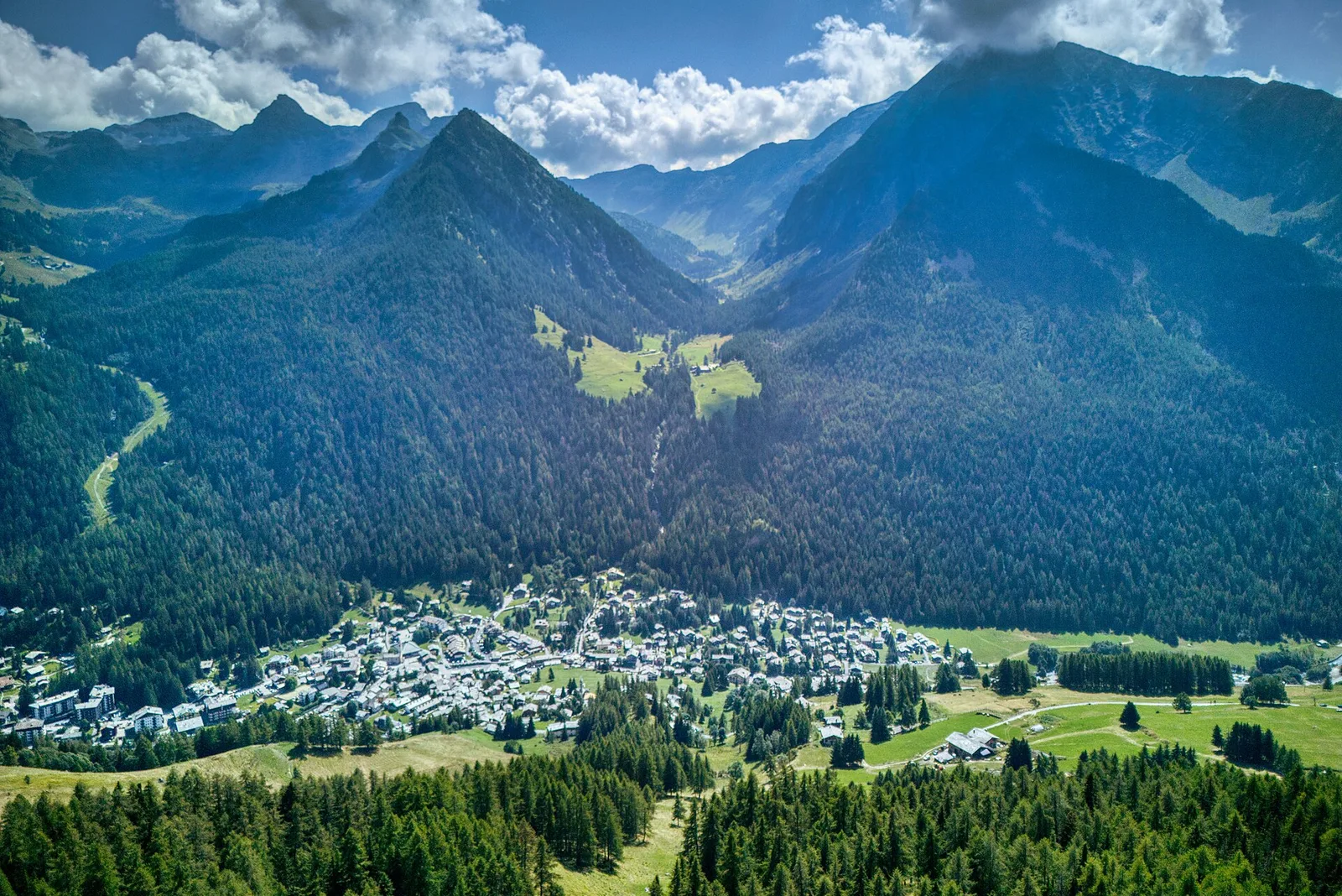
Amponey - Bec de Nannaz
In the Val d'Ayas, Ayas: an E-rated climb toward a high-altitude objective through pastures and rock with views of Monte Rosa.
Val d'Ayas
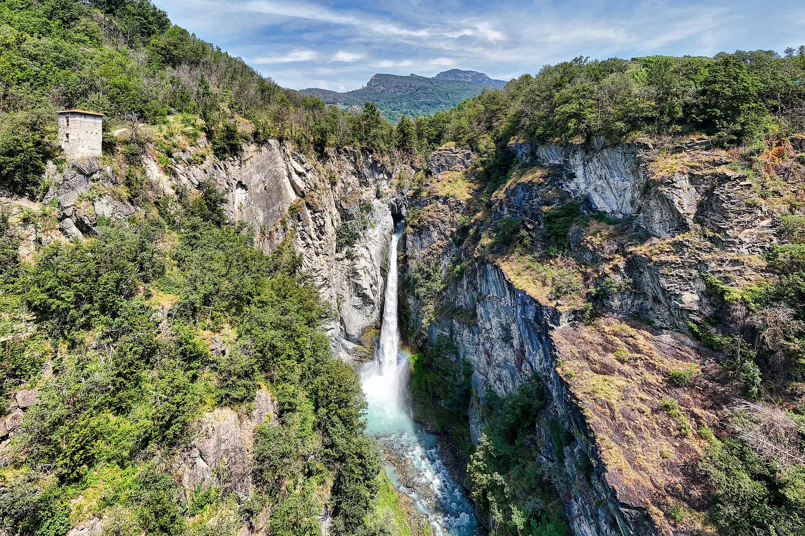
Anello delle gole del torrente Roesaz
9.4 km · +1238 m · EE — from Isollaz to Isollaz (Ayas Valley).