Tour of the Matterhorn — Stage 8: Zermatt → Breuil-Cervinia
25.3 km
+2367 m
−1961 m
11.5 h
Fitness level
Map & route
GPX track — verify on the ground before hiking
Description
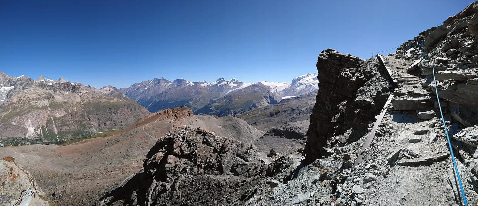
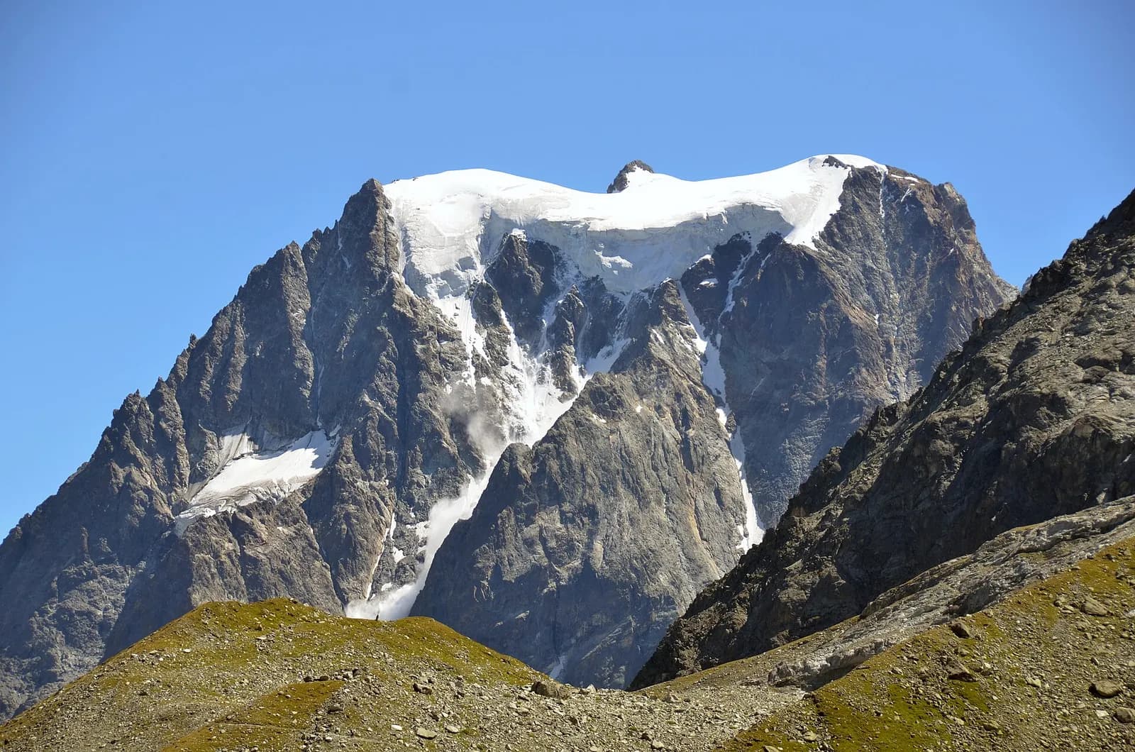
The loop closes back at Breuil-Cervinia via the Theodul pass (3,295 m): crossing the Theodul glacier with a mountain guide and equipment, or riding the Matterhorn Alpine Crossing lifts. Marked as a transfer stage, with no hiking track.
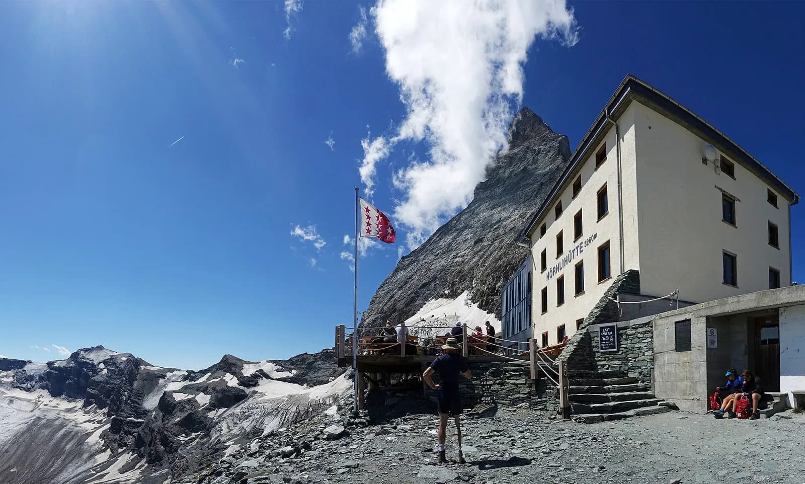
The loop closes on the pass that has joined and divided the Matterhorn’s two sides for seven hundred years. The summer crossing of the Theodul glacier remains a glacier route: rope, crampons and a mountain guide are the price of literally walking over history — artefacts of a 17th-century merchant have melted out of this ice. The modern alternative is the Matterhorn Alpine Crossing: panoramic cabins to the Klein Matterhorn (3,883 m, Europe’s highest station) and down via Testa Grigia to Cervinia. Either way, the last look from the col takes in the whole journey just completed.
Key points
Theodulpass
3295 m · 10.3 km from start
Earth sciences
Geology & landscape
The Matterhorn is the world’s most famous textbook of Alpine geology: its pyramid is a sliver of African continental crust (Dent Blanche nappe, Arolla and Valpelline gneisses) resting on the green ophiolites of the Piedmont-Liguria ocean, visible at its base. The tour walks along this very suture: serpentinites and calcschists in the Cignana and Valcournera valleys, brown gneisses above Zermatt and Arolla.
History & culture
On 14 July 1865 Whymper’s party won the Matterhorn from Zermatt; four men died on the descent. Three days later Jean-Antoine Carrel climbed it from the Italian side: the two dates founded the myth of the Gran Becca.
Water sources
Water at the stage's support points (Zermatt, Breuil-Cervinia). On the high ground and at the passes springs are not guaranteed: fill bottles in the valley and at the huts.
Getting there
Cross-border stage: on the foreign sides local public transport applies (PostAuto in Switzerland, line buses in France/Piedmont). Check seasonal timetables; in peak season several access links run by reservation only.
Warnings
- Glacier crossing: only with a mountain guide and equipment, or use the lifts
Start & end
Start
Zermatt
1608 m
Finish
Breuil-Cervinia
2006 m
Adjacent stages
ACurated and verified by Andrea
Data source: Tour del Cervino / Tour du Cervin — itinerario internazionale · Traccia calcolata su rete sentieri OpenStreetMap (ODbL); verificare sul terreno
Last verified:
Mattertal — Valtournenche
Related trails
Same valley or similar routes — more hikes to explore.
Mattertal — Valtournenche
Tour Monte Rosa — Stage 8: Zermatt → Breuil-Cervinia
The Theodul pass: a transfer stage over the glacier, or by cable car.
Valtournenche — Valpelline
Tour of the Matterhorn — Stage 1: Breuil-Cervinia → Rifugio Prarayer
The Valcournera pass, a stern gateway to the Valpelline.
Valpelline — Val d’Hérens
Tour of the Matterhorn — Stage 2: Rifugio Prarayer → Arolla
The Col Collon: an alpine transfer over the glacier, as in the Middle Ages.
Val d’Hérens (Vallese)
Tour of the Matterhorn — Stage 3: Arolla → Les Haudères
Active rest in the Val d’Hérens, among arolla pines and timber villages.