Tour of the Matterhorn — Stage 3: Arolla → Les Haudères
8 km
+53 m
−673 m
3.5 h
Fitness level
Map & route
GPX track — verify on the ground before hiking
Description
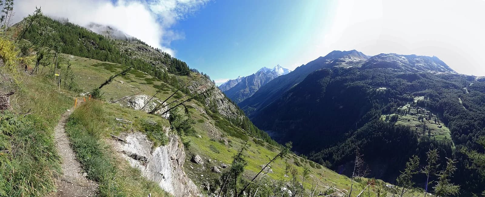
A short recovery stage: from Arolla descend along the Borgne through the stone-pine woods that give the village its name, past La Gouille and the Satarma meadows, to Les Haudères (1,452 m), a Valais village of dark timber barns.
A recovery day in the heart of the Val d’Hérens, one of the most authentic valleys in Valais. The trail descends along the Borgne among the stone pines — the “aroles” that give the village its name — past the blue tarn of La Gouille, a favourite with families, and the barn-dotted meadows of Satarma. At Les Haudères the sun-blackened timber houses crowd the lanes as they did three centuries ago; a half-hour detour climbs to Evolène, ranked among Switzerland’s most beautiful villages. All services, buses to Sion, and time to rest the legs.
Earth sciences
Geology & landscape
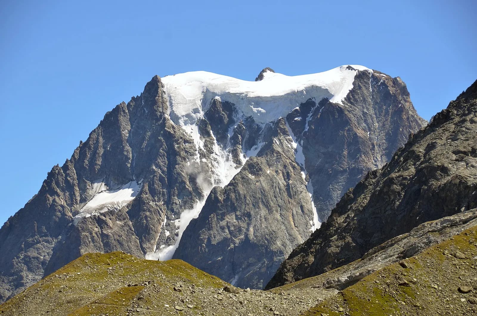
The Matterhorn is the world’s most famous textbook of Alpine geology: its pyramid is a sliver of African continental crust (Dent Blanche nappe, Arolla and Valpelline gneisses) resting on the green ophiolites of the Piedmont-Liguria ocean, visible at its base. The tour walks along this very suture: serpentinites and calcschists in the Cignana and Valcournera valleys, brown gneisses above Zermatt and Arolla.
History & culture
Evolène and Les Haudères keep the traditional costume still worn on feast days; the valley is the last in French-speaking Valais where the Franco-Provençal patois remains an everyday living language.
Water sources
Water at the stage's support points (Arolla, Les Haudères). On the high ground and at the passes springs are not guaranteed: fill bottles in the valley and at the huts.
Getting there
Cross-border stage: on the foreign sides local public transport applies (PostAuto in Switzerland, line buses in France/Piedmont). Check seasonal timetables; in peak season several access links run by reservation only.
Warnings
- Book overnight stops in peak season
Start & end
Start
Arolla
2009 m
Finish
Les Haudères
1441 m
Adjacent stages
ACurated and verified by Andrea
Data source: Tour del Cervino / Tour du Cervin — itinerario internazionale · Traccia calcolata su rete sentieri OpenStreetMap (ODbL); verificare sul terreno
Last verified:
Val d’Hérens (Vallese)
Related trails
Same valley or similar routes — more hikes to explore.
Valtournenche — Valpelline
Tour of the Matterhorn — Stage 1: Breuil-Cervinia → Rifugio Prarayer
The Valcournera pass, a stern gateway to the Valpelline.
Val d’Anniviers — Turtmanntal (Vallese)
Tour of the Matterhorn — Stage 5: Zinal → Gruben
The Forcletta and the forgotten Turtmann valley.
Turtmanntal — Mattertal (Vallese)
Tour of the Matterhorn — Stage 6: Gruben → St. Niklaus
The Augstbordpass, an ancient Walser route to the Mattertal.
Mattertal (Vallese)
Tour of the Matterhorn — Stage 7: St. Niklaus → Zermatt
Along the Vispa to the Matterhorn’s village.