Tour of the Matterhorn — Stage 7: St. Niklaus → Zermatt
20.4 km
+638 m
−348 m
7.5 h
Fitness level
Map & route
GPX track — verify on the ground before hiking
Description
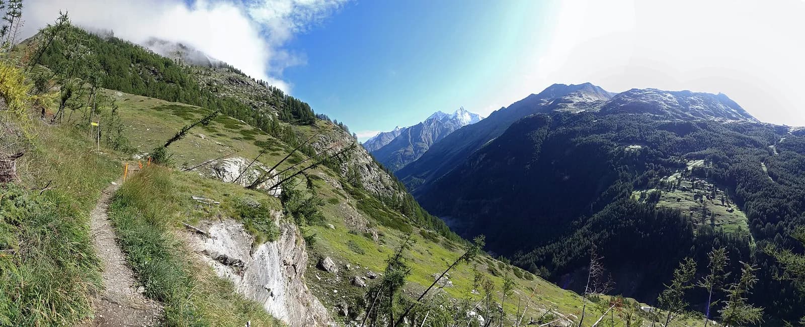
A valley-floor stage along the Vispa: from St. Niklaus ascend the Mattertal via Randa — the 1991 rockslide still visible — and Täsch, to the triumphant arrival in Zermatt (1,608 m), where the Matterhorn pyramid seals the valley.
A valley-floor ascent that is anything but dull: the Mattertal is Switzerland’s deepest valley, and its villages tell of centuries spent living with a difficult mountain. At Randa the trail passes the colossal 1991 rockslide, thirty million cubic metres that reshaped the valley floor; at Täsch begin the car parks of those heading for car-free Zermatt. The last kilometres follow the rushing Vispa to the old barns of Zermatt, the Matterhorn growing with every step. Train and bus let you shorten the stage at will.
Earth sciences
Geology & landscape
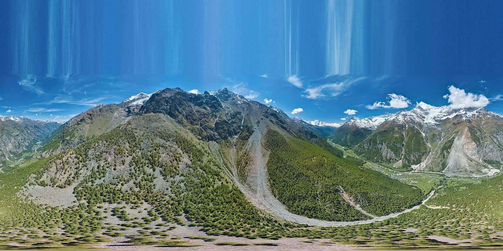
The Matterhorn is the world’s most famous textbook of Alpine geology: its pyramid is a sliver of African continental crust (Dent Blanche nappe, Arolla and Valpelline gneisses) resting on the green ophiolites of the Piedmont-Liguria ocean, visible at its base. The tour walks along this very suture: serpentinites and calcschists in the Cignana and Valcournera valleys, brown gneisses above Zermatt and Arolla.
History & culture
The Visp-Zermatt railway (1891) turned a village of mountain farmers into the world capital of mountaineering; the climbers’ cemetery beside the church tells of the Matterhorn’s victims since 1865.
Water sources
Water at the stage's support points (St. Niklaus, Zermatt). On the high ground and at the passes springs are not guaranteed: fill bottles in the valley and at the huts.
Getting there
Cross-border stage: on the foreign sides local public transport applies (PostAuto in Switzerland, line buses in France/Piedmont). Check seasonal timetables; in peak season several access links run by reservation only.
Warnings
- Book overnight stops in peak season
Start & end
Start
St. Niklaus
1114 m
Finish
Zermatt
1601 m
Adjacent stages
ACurated and verified by Andrea
Data source: Tour del Cervino / Tour du Cervin — itinerario internazionale · Traccia calcolata su rete sentieri OpenStreetMap (ODbL); verificare sul terreno
Last verified:
Mattertal (Vallese)
Related trails
Same valley or similar routes — more hikes to explore.
Mattertal (Vallese)
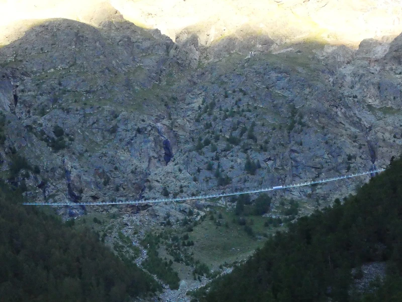
Tour Monte Rosa — Stage 6: Grächen → Europahütte
The first half of the Europaweg, suspended above the Mattertal.
Mattertal (Vallese)
Tour Monte Rosa — Stage 7: Europahütte → Zermatt
The longest suspension bridge in the Alps and the arrival in Zermatt.
Valtournenche — Valpelline
Tour of the Matterhorn — Stage 1: Breuil-Cervinia → Rifugio Prarayer
The Valcournera pass, a stern gateway to the Valpelline.
Valpelline — Val d’Hérens
Tour of the Matterhorn — Stage 2: Rifugio Prarayer → Arolla
The Col Collon: an alpine transfer over the glacier, as in the Middle Ages.