Tour Monte Rosa — Stage 7: Europahütte → Zermatt
13.3 km
+233 m
−1013 m
5.5 h
Fitness level
Map & route
GPX track — verify on the ground before hiking
Description
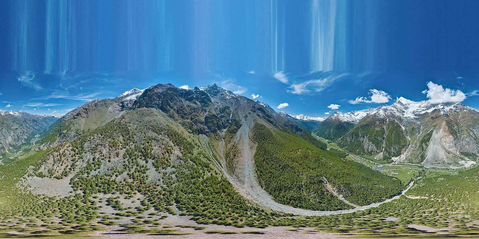
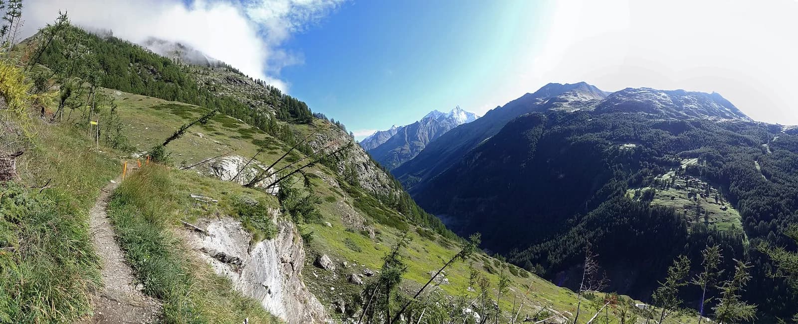
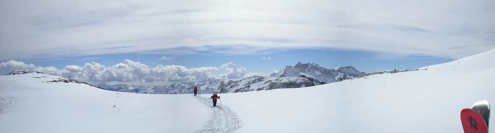
From the Europahütte cross the Charles Kuonen suspension bridge, 494 metres long — the longest in the Alps — and continue along the Europaweg via Täschalp and Tufteren until the Matterhorn appears, towering over Zermatt (1,608 m).
Minutes after setting out you cross the Charles Kuonen Hängebrücke: 494 metres of walkway suspended 85 metres above the Grabengufer gully, the longest pedestrian suspension bridge in the Alps — guaranteed thrills, with solid handrails and a grid deck. The Europaweg then continues more gently to the Täschalp, where chapel and restaurant invite a pause, and finally traverses to the hay meadows of Tufteren: from here the Matterhorn commands every step of the descent to Zermatt, among ancient stone pines and the blackened barns of Zmutt. You arrive in the village’s pedestrian heart.
Earth sciences
Geology & landscape
Monte Rosa is the core of the Penninic nappe of the same name: gneisses and granites of subducted, exhumed European continental crust. Around it the tour crosses the Zermatt-Saas ophiolite zone — green serpentinites, metabasalts and metagabbros, the floor of a vanished Jurassic ocean — outcropping at the Olen, Theodul and Cime Bianche passes. The 2,600-metre Macugnaga east face is the highest wall in the Alps and exposes the nappe in full section.
History & culture
The Charles Kuonen bridge (2017) replaced a walkway destroyed by rockfall within months: its 494 metres make it the longest pedestrian suspension bridge in the Alps. Zmutt preserves Zermatt’s oldest Walser core.
Water sources
Water at the stage's support points (Europahütte, Zermatt). On the high ground and at the passes springs are not guaranteed: fill bottles in the valley and at the huts.
Getting there
Cross-border stage: on the foreign sides local public transport applies (PostAuto in Switzerland, line buses in France/Piedmont). Check seasonal timetables; in peak season several access links run by reservation only.
Warnings
- Exposed equipped sections: surefootedness and a head for heights required
- Book overnight stops in peak season
Start & end
Start
Europahütte
2267 m
Finish
Zermatt
1601 m
Adjacent stages
ACurated and verified by Andrea
Data source: Tour del Monte Rosa — itinerario internazionale segnalato (TMR) · Traccia calcolata su rete sentieri OpenStreetMap (ODbL); verificare sul terreno
Last verified:
Mattertal (Vallese)
Related trails
Same valley or similar routes — more hikes to explore.
Mattertal (Vallese)
Tour of the Matterhorn — Stage 7: St. Niklaus → Zermatt
Along the Vispa to the Matterhorn’s village.
Valle del Lys
Tour Monte Rosa — Stage 1: Gressoney-Saint-Jean → Lago Gabiet
From the Walser capital to Lake Gabiet.
Val d’Ayas — Valle del Lys
Tour Monte Rosa — Stage 10: Saint-Jacques → Gressoney-Saint-Jean
The Pinter pass closes the Aosta Valley loop of the Rosa.
Valle del Lys — Valsesia (Piemonte)
Tour Monte Rosa — Stage 2: Lago Gabiet → Alagna Valsesia
The Col d’Olen and the descent into Valsesia, beyond the Aosta Valley.