Val d’Hérens — Val de Moiry — Val d’Anniviers
Tour of the Matterhorn — Stage 4: Les Haudères → Zinal
26.6 km
+2241 m
−2157 m
16 h
Fitness level
Map & route
GPX track — verify on the ground before hiking
Description
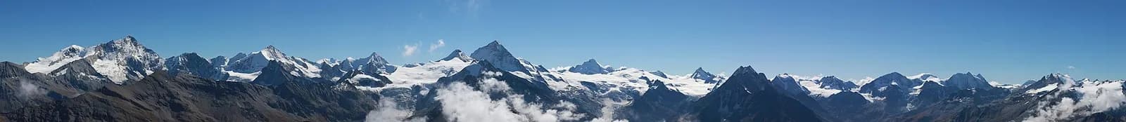
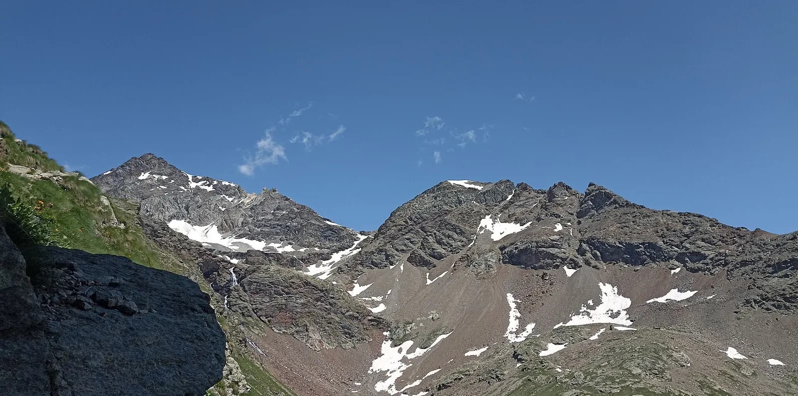
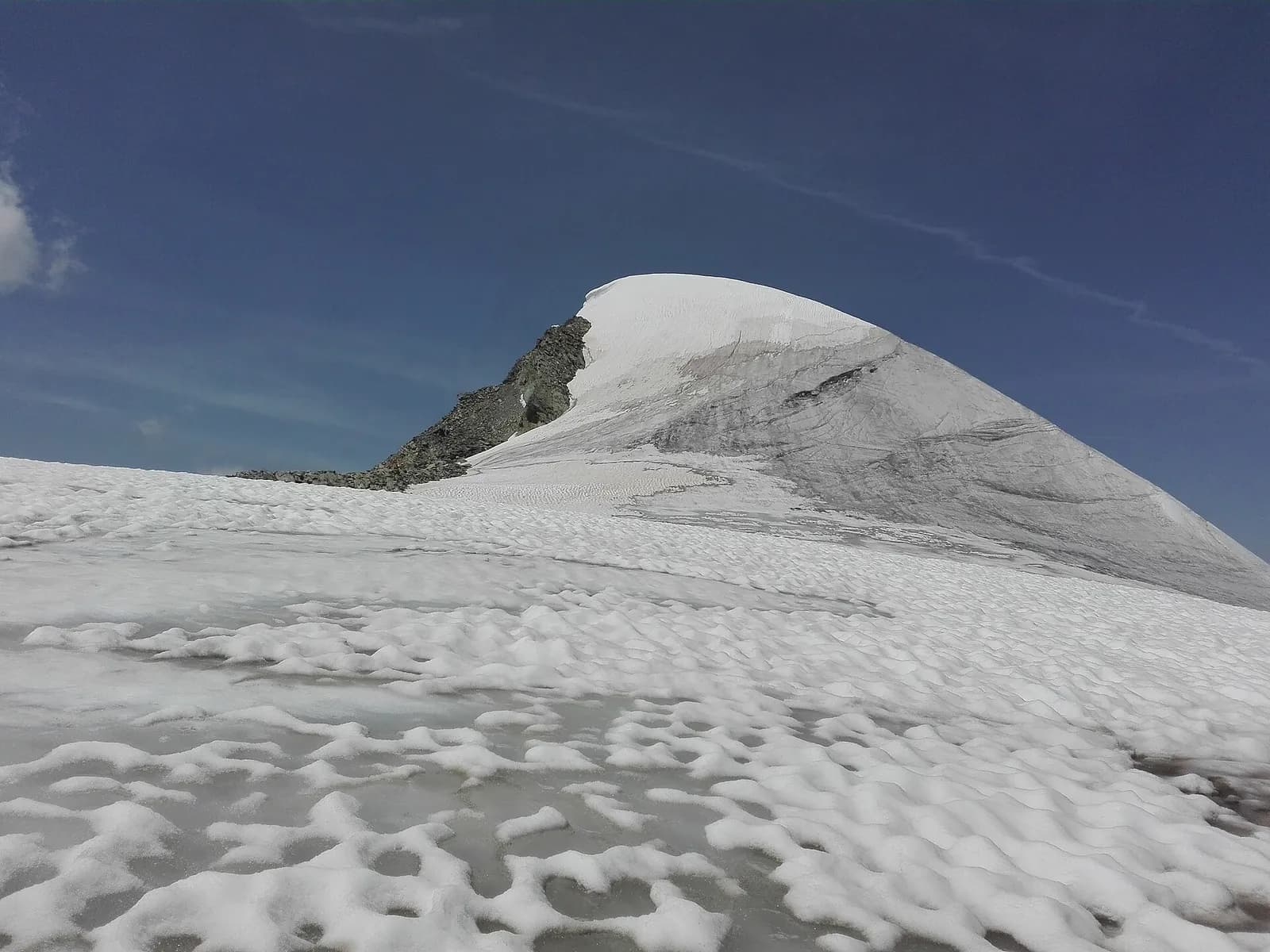
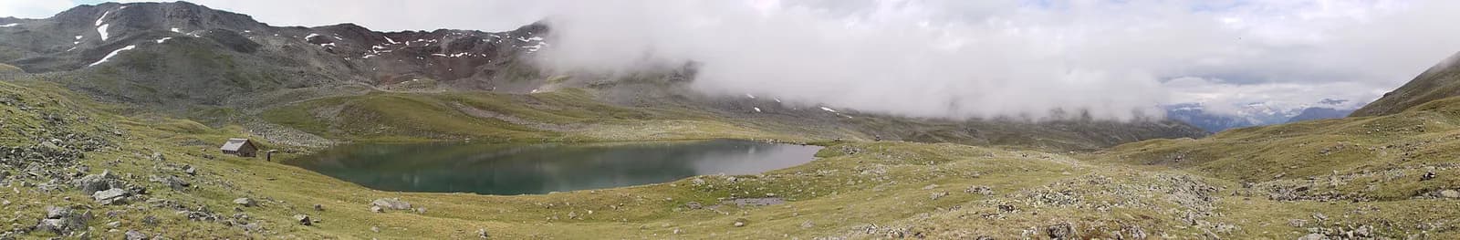
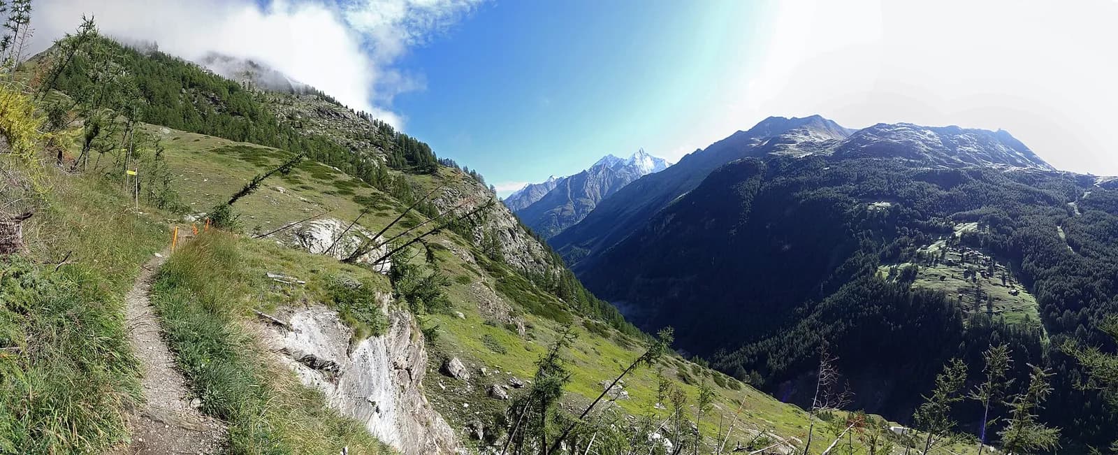
A long, rewarding stage: from Les Haudères climb to the Col de Torrent (2,916 m), descend to the turquoise lake of the Moiry dam, then climb again to the Col de Sorebois (2,835 m) before plunging down to Zinal (1,675 m), beneath the Imperial Crown of the Weisshorn.
The double crossing that earns the Tour du Cervin its stripes. The climb to the Col de Torrent is long but generous: alps, the Arbey tarn, and from the pass a view sweeping from the Weisshorn to the Dent Blanche. You drop to Lac de Moiry, an unreal turquoise set among moraines, where the dam buvette lets you restock before the second climb to the Col de Sorebois. The final 1,100-metre plunge to Zinal is sweetened by the constant sight of the “Imperial Crown”: Weisshorn, Zinalrothorn, Obergabelhorn, Matterhorn and Dent Blanche. If you prefer, split the stage at the Moiry hut.
Key points
Col de Torrent
2916 m · 10.2 km from start
Col de Sorebois
2835 m · 19.1 km from start
Earth sciences
Geology & landscape
The Matterhorn is the world’s most famous textbook of Alpine geology: its pyramid is a sliver of African continental crust (Dent Blanche nappe, Arolla and Valpelline gneisses) resting on the green ophiolites of the Piedmont-Liguria ocean, visible at its base. The tour walks along this very suture: serpentinites and calcschists in the Cignana and Valcournera valleys, brown gneisses above Zermatt and Arolla.
History & culture
The small, combative Hérens cows clash every summer on the Moiry and Sorebois alps: the “combats de reines” elect the herd’s queen, a tradition alive throughout Valais.
Water sources
Water at the stage's support points (Les Haudères, Zinal). On the high ground and at the passes springs are not guaranteed: fill bottles in the valley and at the huts.
Getting there
Cross-border stage: on the foreign sides local public transport applies (PostAuto in Switzerland, line buses in France/Piedmont). Check seasonal timetables; in peak season several access links run by reservation only.
Warnings
- Check the weather: long high-altitude stages with few escape routes
- Snowfields possible on the passes until early July
- Book overnight stops in peak season
Start & end
Start
Les Haudères
1441 m
Finish
Zinal
1679 m
Adjacent stages
ACurated and verified by Andrea
Data source: Tour del Cervino / Tour du Cervin — itinerario internazionale · Traccia calcolata su rete sentieri OpenStreetMap (ODbL); verificare sul terreno
Last verified:
Val d’Hérens — Val de Moiry — Val d’Anniviers
Related trails
Same valley or similar routes — more hikes to explore.
Valtournenche — Valpelline
Tour of the Matterhorn — Stage 1: Breuil-Cervinia → Rifugio Prarayer
The Valcournera pass, a stern gateway to the Valpelline.
Valpelline — Val d’Hérens
Tour of the Matterhorn — Stage 2: Rifugio Prarayer → Arolla
The Col Collon: an alpine transfer over the glacier, as in the Middle Ages.
Turtmanntal — Mattertal (Vallese)
Tour of the Matterhorn — Stage 6: Gruben → St. Niklaus
The Augstbordpass, an ancient Walser route to the Mattertal.
Mattertal (Vallese)
Tour of the Matterhorn — Stage 7: St. Niklaus → Zermatt
Along the Vispa to the Matterhorn’s village.