Gran Paradiso Tour — Stage 3: Rifugio Vittorio Sella → Eaux Rousses
16.7 km
+827 m
−1907 m
9.5 h
Fitness level
Map & route
GPX track — verify on the ground before hiking
Description
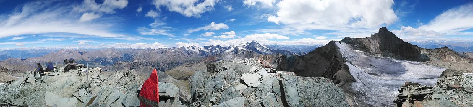
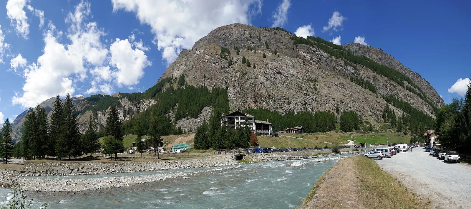
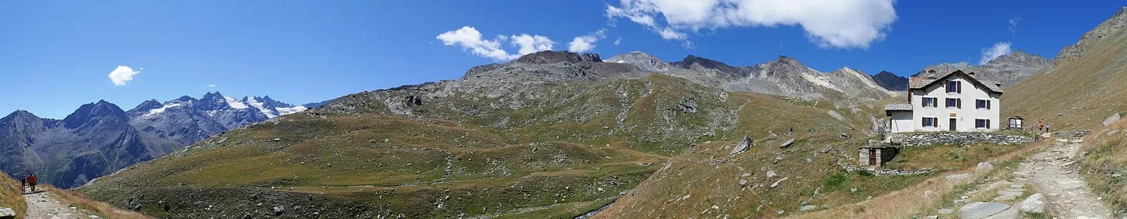
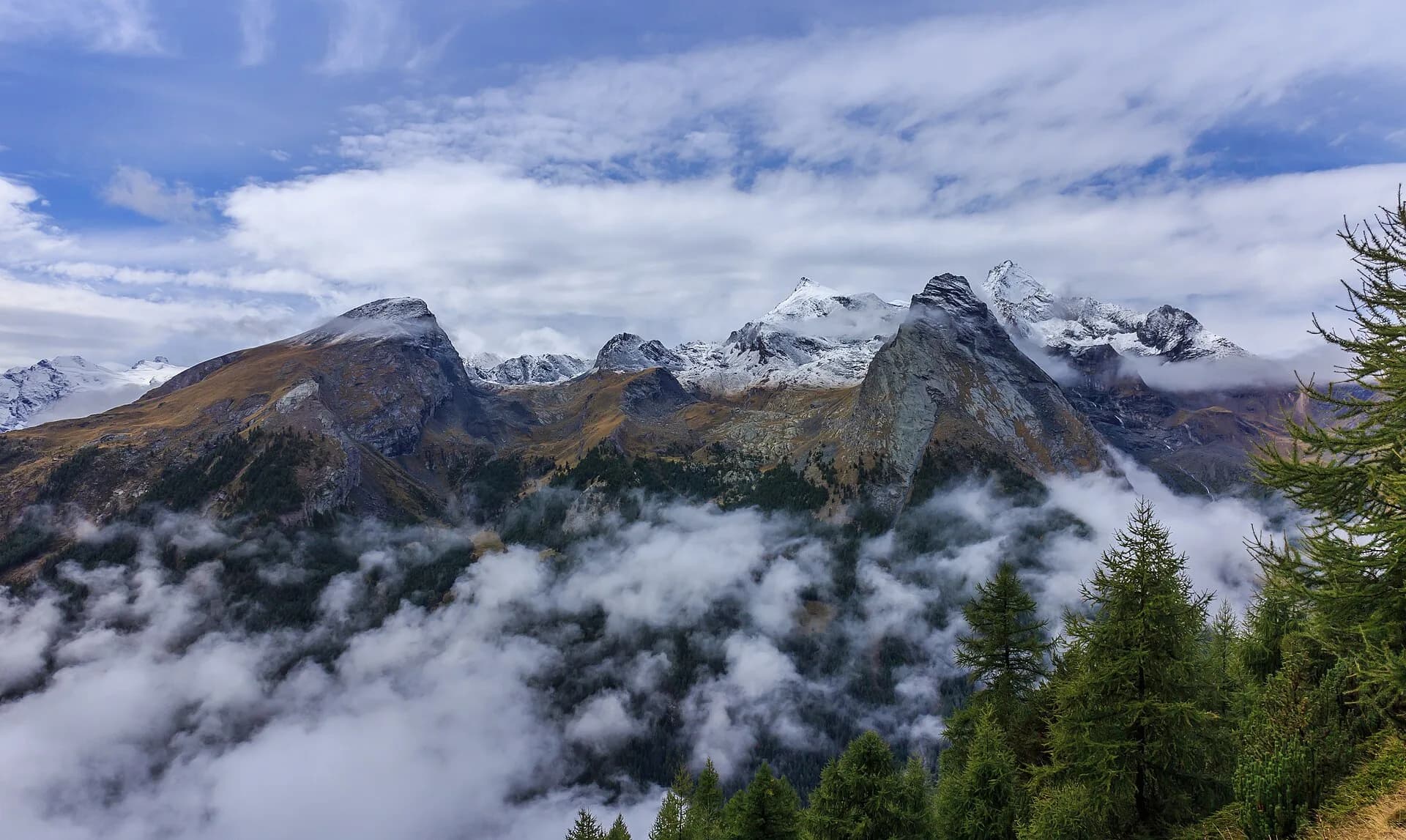
From the Sella hut climb to the Col Lauson (3,296 m), the tour’s highest point and one of the highest hiking passes in the Alps, with a steep final stretch on scree. A long descent through the Levionaz valley, among chamois and marmots, reaches Eaux-Rousses (1,666 m) in Valsavarenche.
The Col Lauson (or Col Loson) is the highest point of the whole tour and one of Europe’s highest hiking passes: the last two hundred metres climb ledges and scree where a metal cable helps on the most exposed steps. The effort is repaid by a horizon embracing the Grivola, Gran Paradiso and Mont Blanc. The descent through the Levionaz valley is a wildlife safari: chamois, ibex and, with luck, the bearded vulture. At Levionaz Dessous the rangers’ hut recalls that wardens have watched over this ground since 1922. You exit through forest above Eaux-Rousses, on the Valsavarenche valley floor.
Key points
Col Lauson
3296 m · 4.6 km from start
Earth sciences
Geology & landscape
Gran Paradiso, like Monte Rosa, is an internal crystalline massif of the Penninic nappes: augen orthogneisses derived from Permian granites, wrapped in a sheath of calcschists with greenstones — metamorphosed ocean floor the tour crosses at the Lauson, Rosset and Entrelor passes. At the Nivolet the plateaus are carved in the softer calcschists, while the Valnontey walls expose the massif’s gneissic core.
History & culture
From the ibex nucleus protected by the royal reserves — which became Italy’s first national park in 1922 — descend all the ibex alive in the Alps today.
Water sources
Water at the stage's support points (Rifugio Vittorio Sella, Eaux Rousses). On the high ground and at the passes springs are not guaranteed: fill bottles in the valley and at the huts.
Getting there
Aosta Valley side served by VITA buses and connections from Aosta; many valley heads have summer shuttles. Check seasonal timetables at arriva.it / vita-vda.com.
Warnings
- Snowfields possible on the passes until early July
- Check the weather: long high-altitude stages with few escape routes
- Book overnight stops in peak season
Start & end
Start
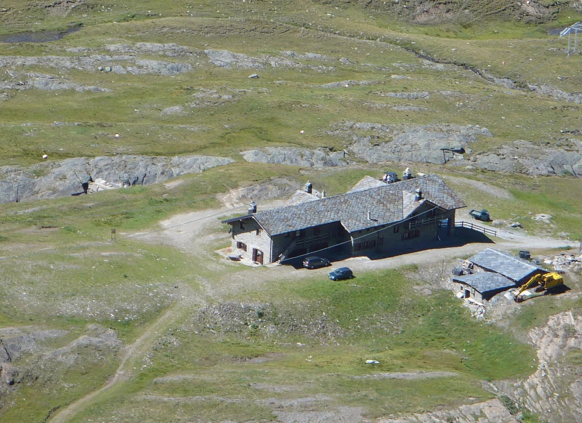
Rifugio Vittorio Sella
2580 m
Finish
Eaux Rousses
1651 m
Refuges & bivouacs
Photo gallery
Adjacent stages
ACurated and verified by Andrea
Data source: Parco Nazionale Gran Paradiso — rete sentieri ufficiale · Traccia calcolata su rete sentieri OpenStreetMap (ODbL); verificare sul terreno
Last verified:
Val di Cogne — Valsavarenche
Related trails
Same valley or similar routes — more hikes to explore.
Val di Cogne
Gran Paradiso Tour — Stage 1: Cogne → Valnontey
A gentle prologue across the Sant’Orso meadow.
Val di Cogne
Gran Paradiso Tour — Stage 9: Rifugio Vittorio Sella → Cogne
The final descent to Valnontey and the return to Cogne.
Val di Cogne
High Route 2 — Stage 10: Cogne → Rifugio Sogno di Berdzé
Climb from Cogne centre to Rifugio Sogno di Berdzé at Péradzà.
Val di Cogne
High Route 2 — Stage 9: Rifugio Vittorio Sella → Cogne
Scenic descent from Vittorio Sella to Cogne via Valnontey.