Gran Paradiso Tour — Stage 2: Valnontey → Rifugio Vittorio Sella
5.7 km
+922 m
−61 m
4 h
Fitness level
Map & route
GPX track — verify on the ground before hiking
Description
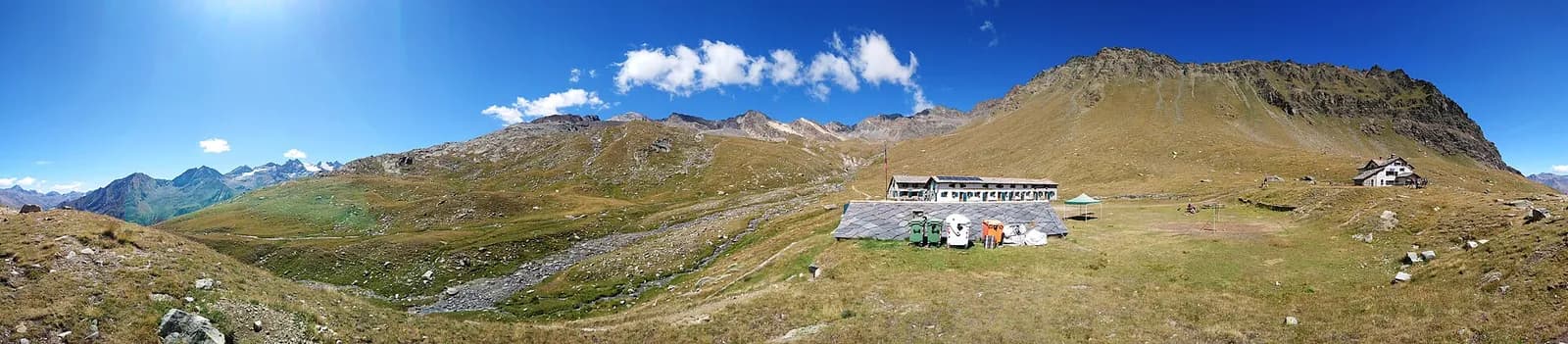
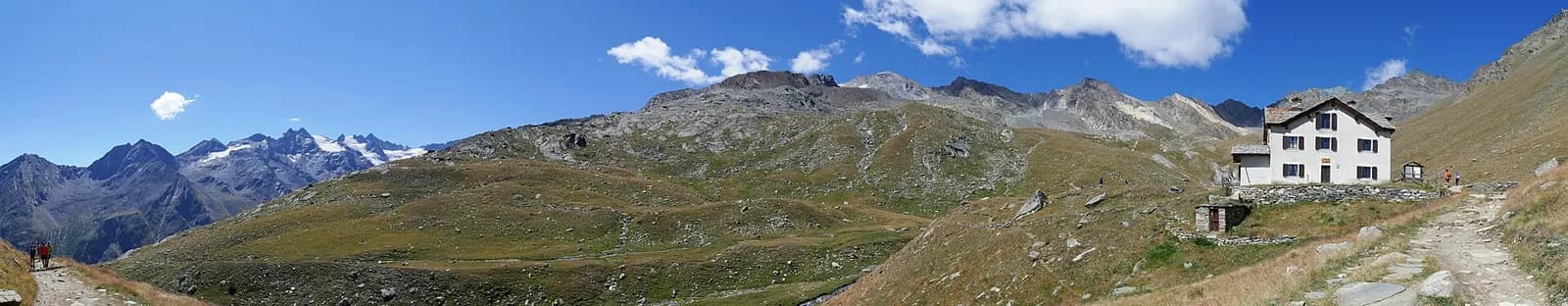
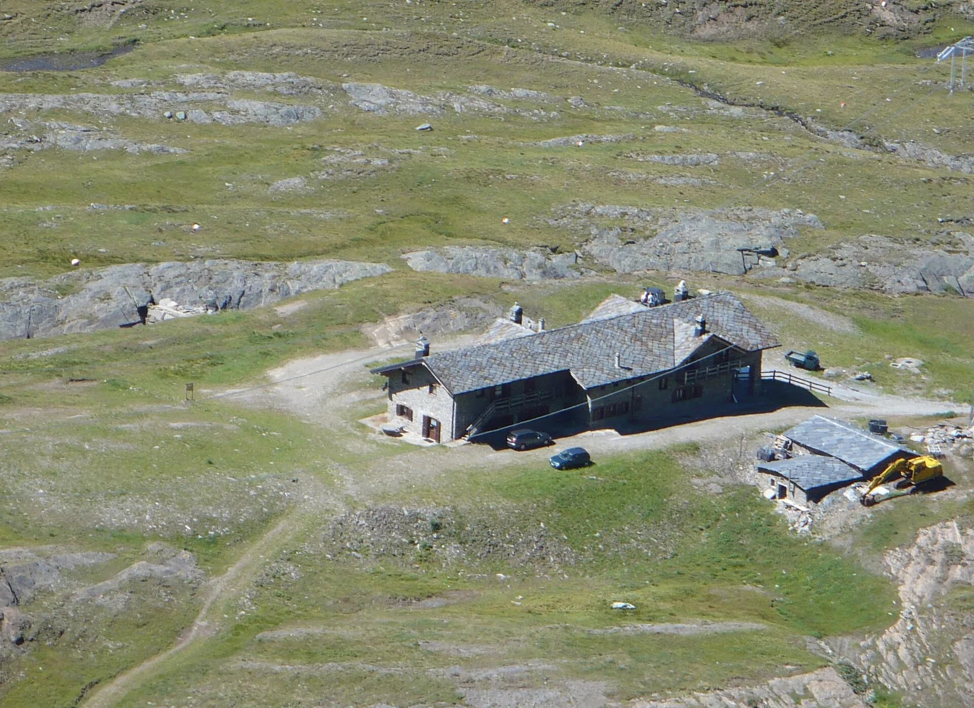
From Valnontey climb the historic hunting mule track of King Vittorio Emanuele II, in regular bends through woods and pastures, to Rifugio Vittorio Sella al Lauson (2,588 m). Ibex grazing at dusk are almost guaranteed here.
The royal mule track climbs at a gradient designed for mules and kings: Vittorio Emanuele II had it built in the mid-1800s for his hunts, and its perfect switchbacks still make the 900 metres of ascent surprisingly fluid. You pass the royal hunting lodge of Lauson and reach the pasture basin where the hut stands, named after the mountaineer-photographer Vittorio Sella. Afternoon hours are best for watching the ibex that graze here by the dozen; the nearby Lauson tarn mirrors the Grivola at sunset.
Earth sciences
Geology & landscape
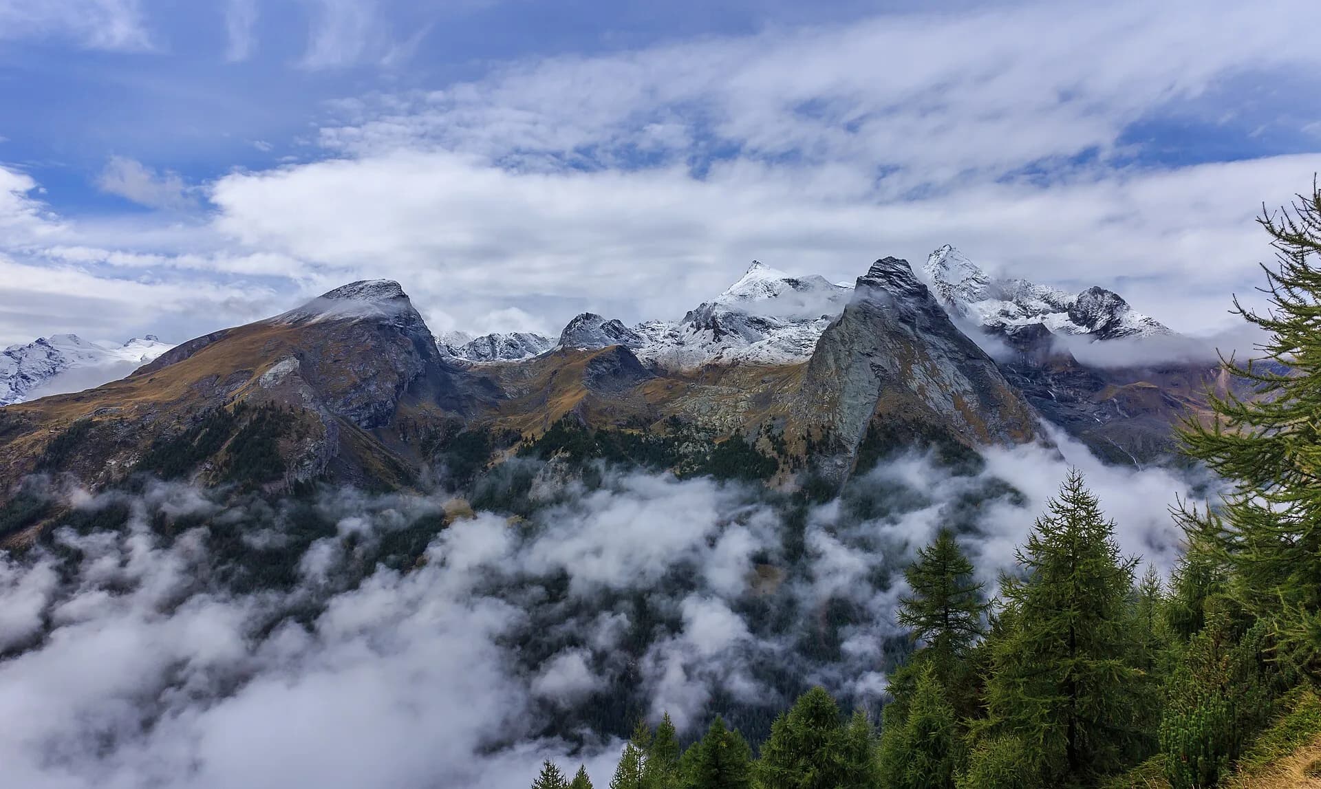
Gran Paradiso, like Monte Rosa, is an internal crystalline massif of the Penninic nappes: augen orthogneisses derived from Permian granites, wrapped in a sheath of calcschists with greenstones — metamorphosed ocean floor the tour crosses at the Lauson, Rosset and Entrelor passes. At the Nivolet the plateaus are carved in the softer calcschists, while the Valnontey walls expose the massif’s gneissic core.
History & culture
The hut occupies the 1860 royal hunting stables: from here Vittorio Emanuele II saved the ibex — by reserving it for himself — when barely a hundred head survived in these very valleys.
Water sources
Water at the stage's support points (Valnontey, Rifugio Vittorio Sella). On the high ground and at the passes springs are not guaranteed: fill bottles in the valley and at the huts.
Getting there
Aosta Valley side served by VITA buses and connections from Aosta; many valley heads have summer shuttles. Check seasonal timetables at arriva.it / vita-vda.com.
Warnings
- Book overnight stops in peak season
Start & end
Start
Valnontey
1667 m
Finish
Rifugio Vittorio Sella
2581 m
Refuges & bivouacs
Photo gallery
Adjacent stages
ACurated and verified by Andrea
Data source: Parco Nazionale Gran Paradiso — rete sentieri ufficiale · Traccia calcolata su rete sentieri OpenStreetMap (ODbL); verificare sul terreno
Last verified:
Val di Cogne
Related trails
Same valley or similar routes — more hikes to explore.
Val di Cogne
Gran Paradiso Tour — Stage 9: Rifugio Vittorio Sella → Cogne
The final descent to Valnontey and the return to Cogne.
Val di Cogne
High Route 2 — Stage 10: Cogne → Rifugio Sogno di Berdzé
Climb from Cogne centre to Rifugio Sogno di Berdzé at Péradzà.
Val di Cogne
High Route 2 — Stage 9: Rifugio Vittorio Sella → Cogne
Scenic descent from Vittorio Sella to Cogne via Valnontey.

Val di Cogne
Alpe Bardoney (incrocio sentieri 12-13G)- Col de l'Arolla
5.3 km · +684 m · EE — from Alpe Bardoney (incrocio sentieri 12-13G) to Col de l'Arolla (Lys Valley).