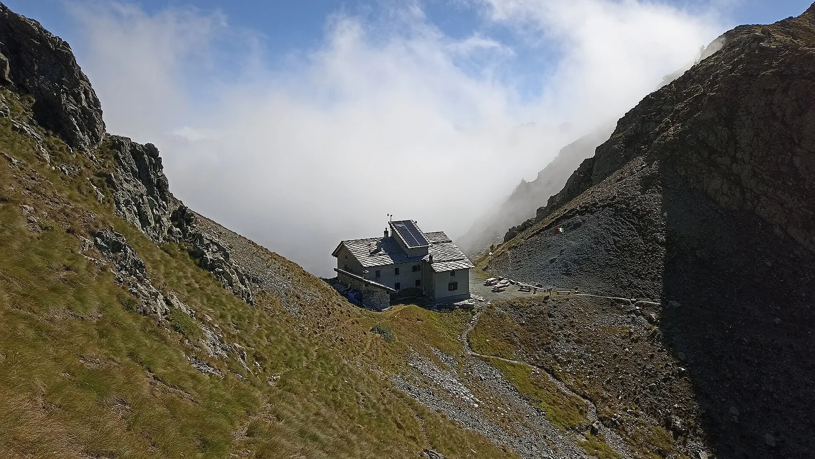
Rong - Passo dell'Alpetto
5.1 km
+1333 m
−0 m
4.5 h
Fitness level
Elevation profile
Map & route
Download GPXGPX track — verify on the ground before hiking
Description
Rong - Passo dell'Alpetto is an official trail from the Aosta Valley trail registry (code 33_S27). The route lies in the municipality of Hône, in the Champorcher Valley. From Rong (1441 m) to Passo dell'Alpetto (2768 m): 5.1 km with +1333 m of elevation change, difficulty EE (CAI scale). Minimum elevation 1441 m, maximum 2768 m. Recommended season per registry: giugno, luglio, agosto, settembre (months 6, 7, 8, 9). Waymarking: 9 segnavia recorded in the registry. GPX track and elevation data from Regione Autonoma Valle d'Aosta (open data DGR 899/2014).
Start & end
Start
Rong
1441 m
Finish
Passo dell'Alpetto
2768 m
ACurated and verified by Andrea
Data source: Catasto Sentieri Regione Autonoma VdA · Open data — DGR 899/2014
Last verified:
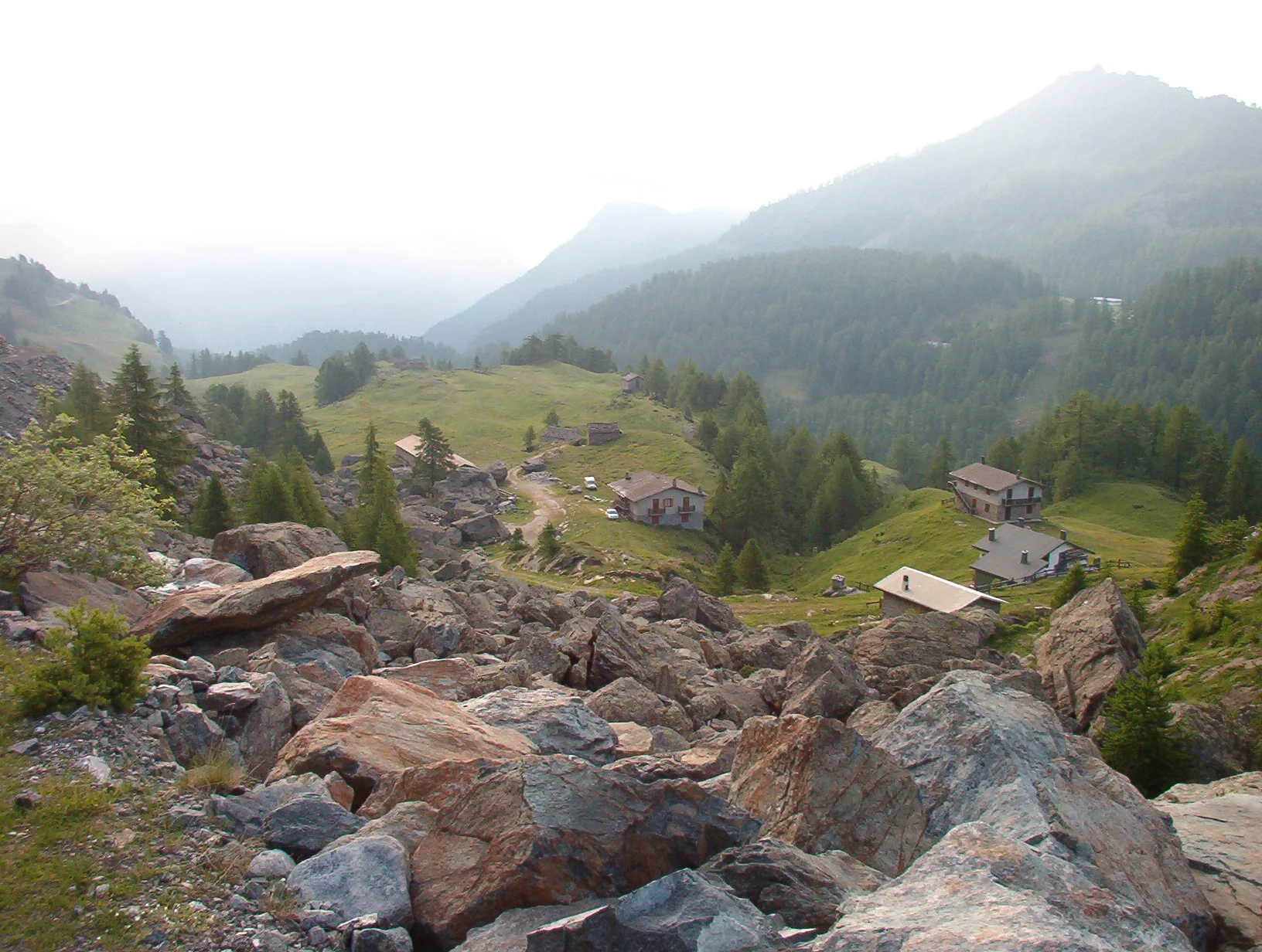
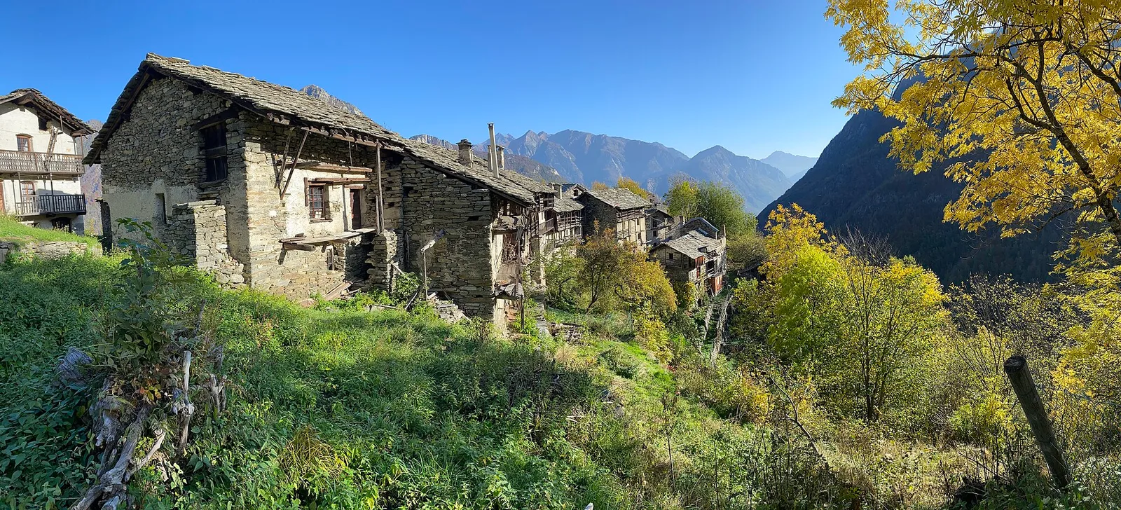
Valle di Champorcher
Related trails
Same valley or similar routes — more hikes to explore.

Valle di Champorcher
Balmeto - Leck Albezò
1.2 km · +287 m · E — from Balmeto to Leck Albezò (Champorcher Valley).

Valle di Champorcher
Bino - Passo di Valnera
4.5 km · +1280 m · E — from Bino to Alpe Jatza (Champorcher Valley).
Valle di Champorcher
Crest-Désot - Col de Bonze
14.2 km · +1948 m · E — from Crest-Désot to Col de Bonze (Champorcher Valley).
Valle di Champorcher
Crest-Dèsot - Col de la Fricolla
6.6 km · +1584 m · E — from Crest-Dèsot to Col de la Fricolla (Champorcher Valley).