Veulla - Grand Lac
Warnings
- EE rating, 1861 m of ascent among the highest in the VdA network: pre-dawn start mandatory.
- Not for beginners or in overcast conditions; alpine experience and technical gear required.
Map & route
GPX track — verify on the ground before hiking
Fitness level
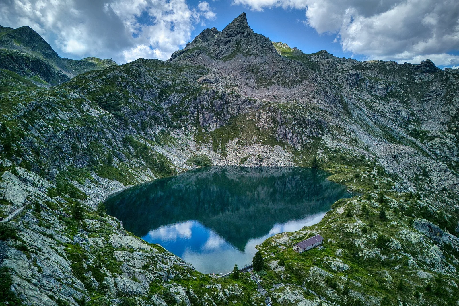
The route from Veulla to Grand Lac is one of the most serious hiking undertakings in the Charvensod area. Rated EE, it climbs 1861 metres over nine kilometres — among the highest elevation gains in the entire Aosta Valley trail network. Departing from Veulla at 1286 m on the eastern slopes above Aosta, the path ascends through mixed woodland, grassy couloirs and moraine terrain before reaching the glacially-formed Grand Lac at 2539 m, a remote and strikingly beautiful mountain lake set against steep rock walls. The descent demands equal care and attention. An extremely early start is essential.
Getting there
Parking
Photo gallery
Photos are published immediately. JPG/PNG/WebP, max 6 MB.
Flora along the trail
Wildlife to spot
ACurated and verified by Andrea Rama
Data source: Catasto Sentieri Regione Autonoma VdA · Open data — DGR 899/2014
Last verified:
Valle di Champorcher
Related trails
Same valley or similar routes — more hikes to explore.
Valle di Champorcher
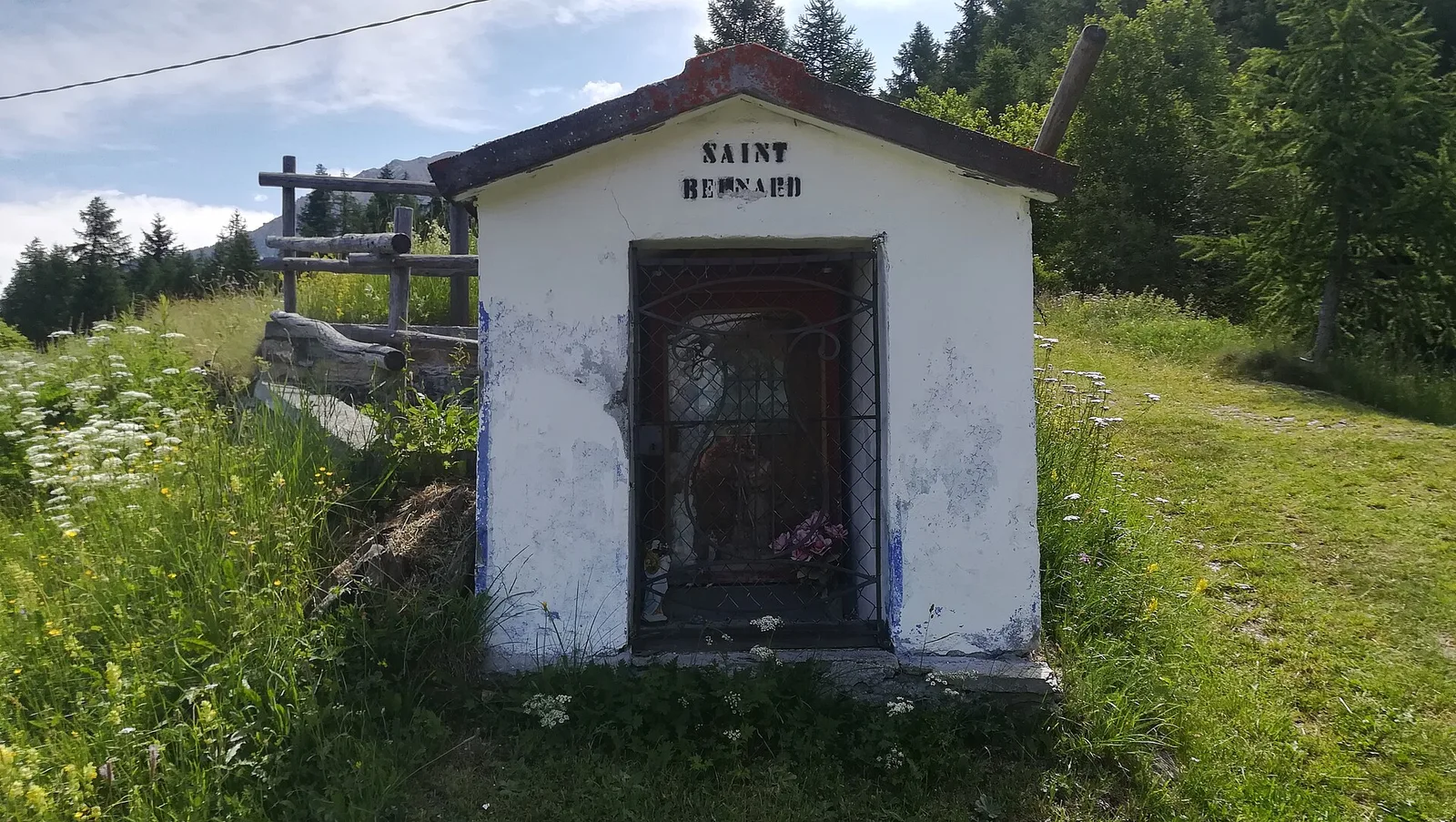
Barche - Plan Clavalité - Grand Alpe
13.9 km · +1540 m · E — from Barche to Grand Alpe (Lys Valley).
Valle di Champorcher
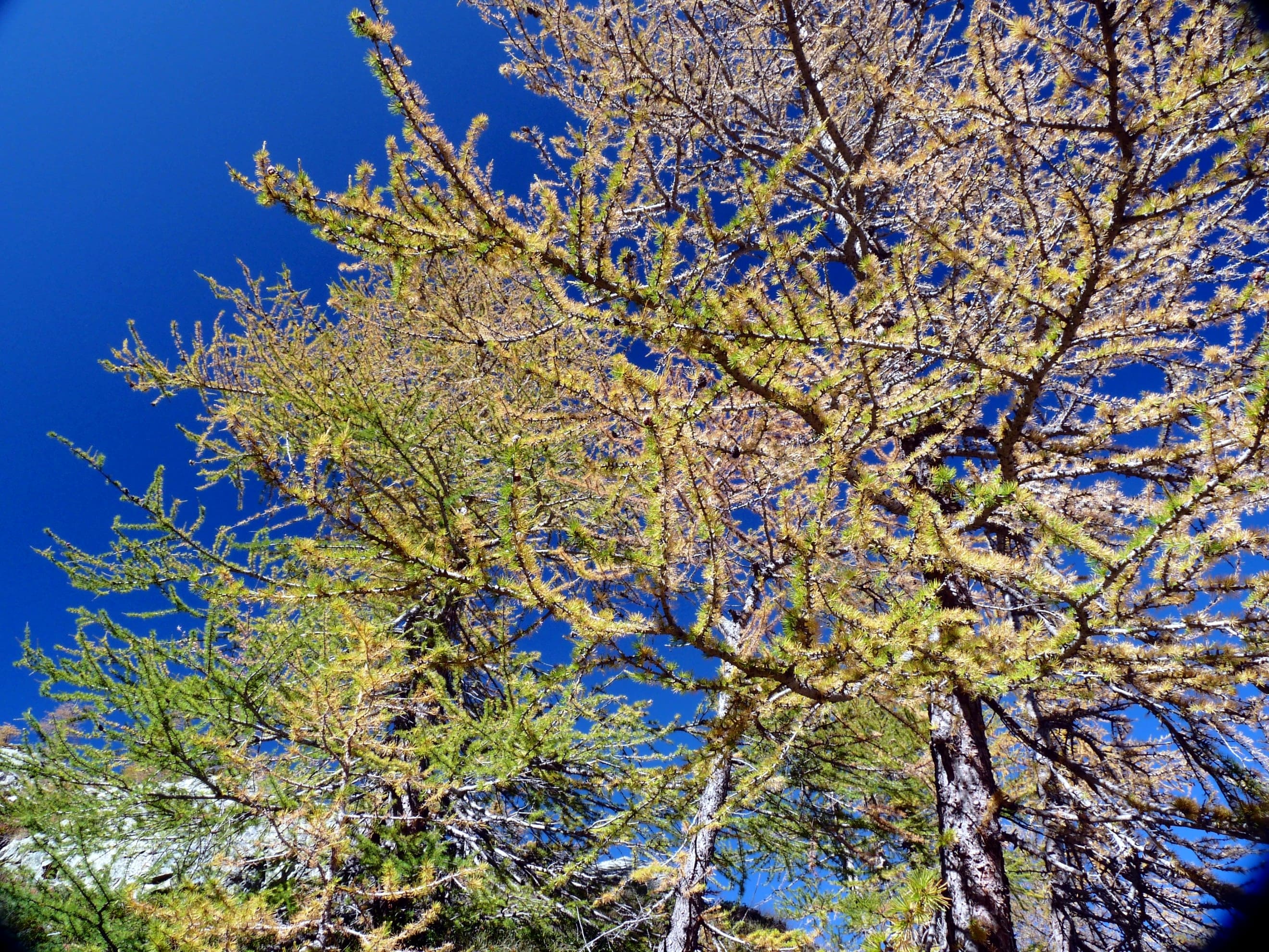
Castagnot - Col de Pofouey
3.8 km · +903 m · E — from Castagnot to Colle d'Arcomy (Central Valley).
Valle di Champorcher
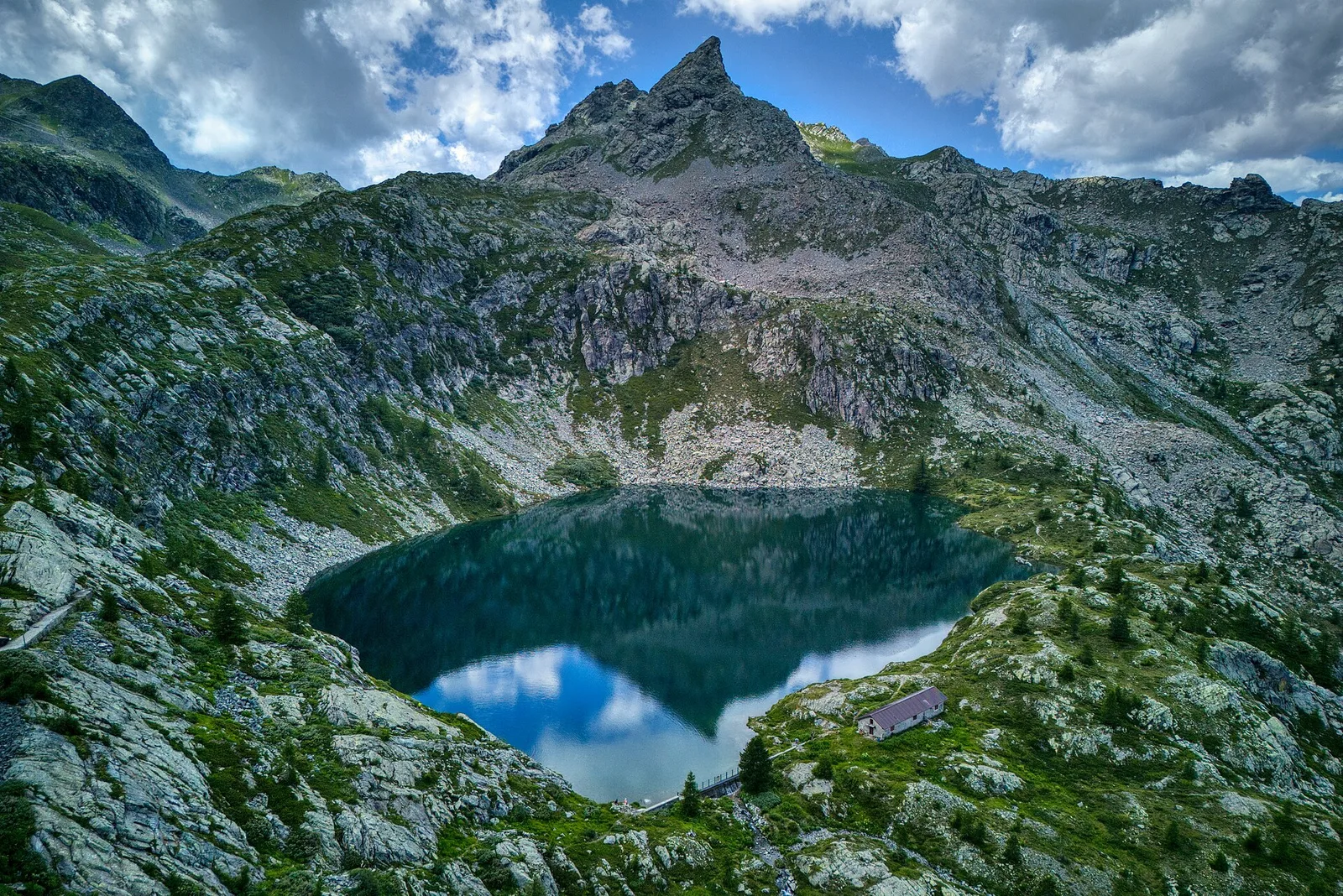
Champorcher - Col de la Fricolla
8.8 km · +1350 m · EE — from Champorcher to Col de la Fricolla (Valtournenche).
Valle di Champorcher
Champorcher - Col Laris
10.1 km · +1406 m · E — from Champrocher to Col Laris (Valtournenche).