Lo Pian - Col de Panaz
Map & route
GPX track — verify on the ground before hiking
Fitness level
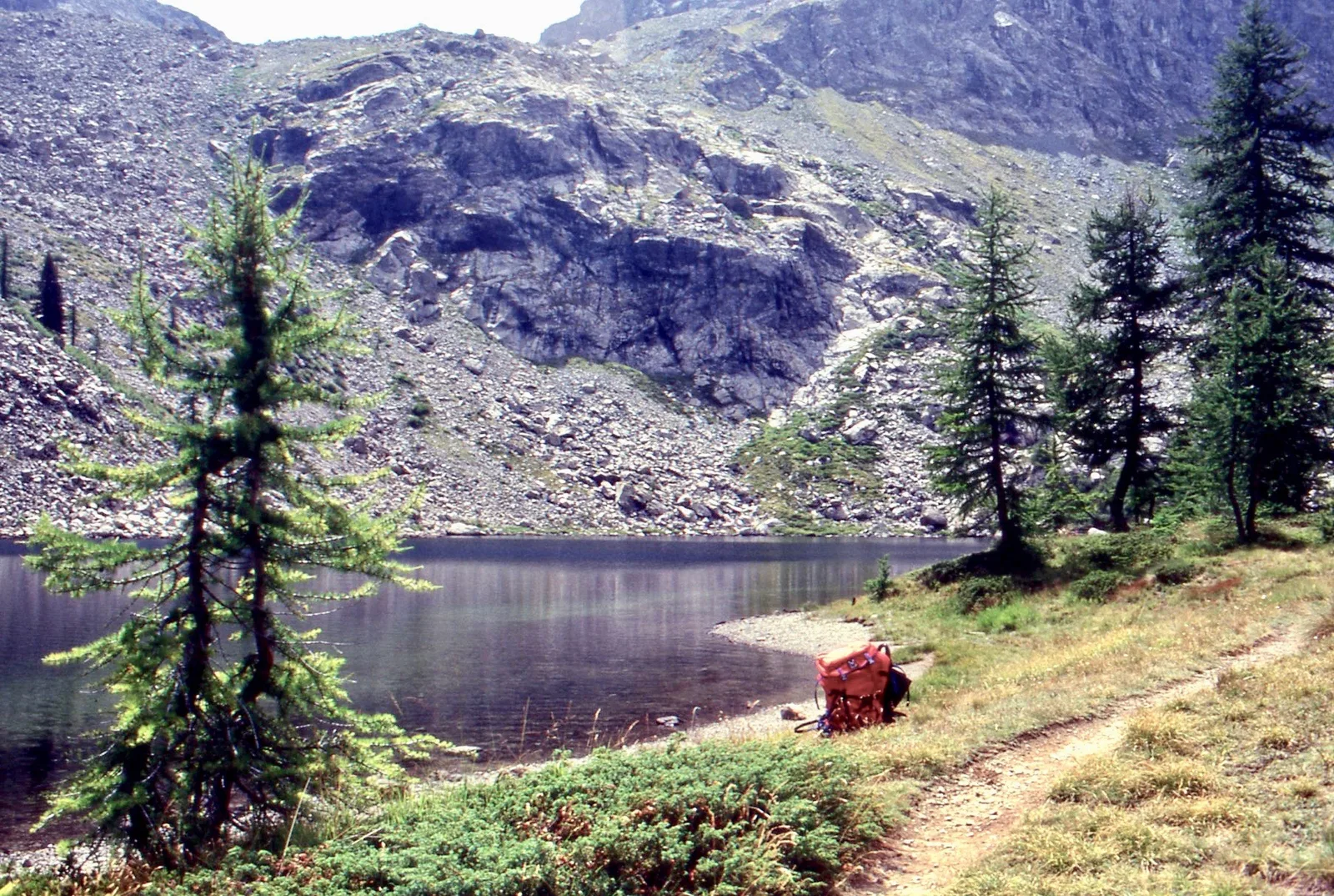
A long route that from Lo Pian (551 m), above Aosta in the municipality of Charvensod, climbs to the Col de Panaz (2375 m) with more than 1800 metres of ascent — one of the steepest height gains in the area. The difficulty is Expert Hikers (EE) for its length and the upper sections, where the path crosses pastures and scree to the pass between the southern side-valleys of the central valley. You start almost from the valley floor and reach the full alpine belt: a height gain for the well-trained, with a dawn start and stable weather. From the col the view opens over the mountains separating the Aosta basin from the inner valleys.
Getting there
Parking
Photo gallery
Photos are published immediately. JPG/PNG/WebP, max 6 MB.
Flora along the trail
Wildlife to spot
ACurated and verified by Andrea Rama
Data source: Catasto Sentieri Regione Autonoma VdA · Open data — DGR 899/2014
Last verified:
Valle di Champorcher
Related trails
Same valley or similar routes — more hikes to explore.

Valle di Champorcher
Barche - Plan Clavalité - Grand Alpe
13.9 km · +1540 m · E — from Barche to Grand Alpe (Lys Valley).
Valle di Champorcher
Castagnot - Col de Pofouey
3.8 km · +903 m · E — from Castagnot to Colle d'Arcomy (Central Valley).

Valle di Champorcher
Champorcher - Col de la Fricolla
8.8 km · +1350 m · EE — from Champorcher to Col de la Fricolla (Valtournenche).

Valle di Champorcher
Champorcher - Col Laris
10.1 km · +1406 m · E — from Champrocher to Col Laris (Valtournenche).