Breuil-Tsa de Vielle-Plan Maison - Col de Saint-Théodule
Map & route
GPX track — verify on the ground before hiking
Fitness level
Breuil-Tsa de Vielle-Plan Maison - Col de Saint-Théodule is an official trail from the Aosta Valley trail registry (code 71_S14). The route lies in the municipality of Villeneuve, in the Central Valley. From Breuil-Cervinia (2008 m) to Col de Saint-Théodule (3316 m): 8.6 km with +1322 m of elevation change, difficulty EE (CAI scale). Minimum elevation 2008 m, maximum 3316 m. Recommended season per registry: giugno, luglio, agosto, settembre (months 6, 7, 8, 9). Waymarking: 15 segnavia recorded in the registry. GPX track and elevation data from Regione Autonoma Valle d'Aosta (open data DGR 899/2014).
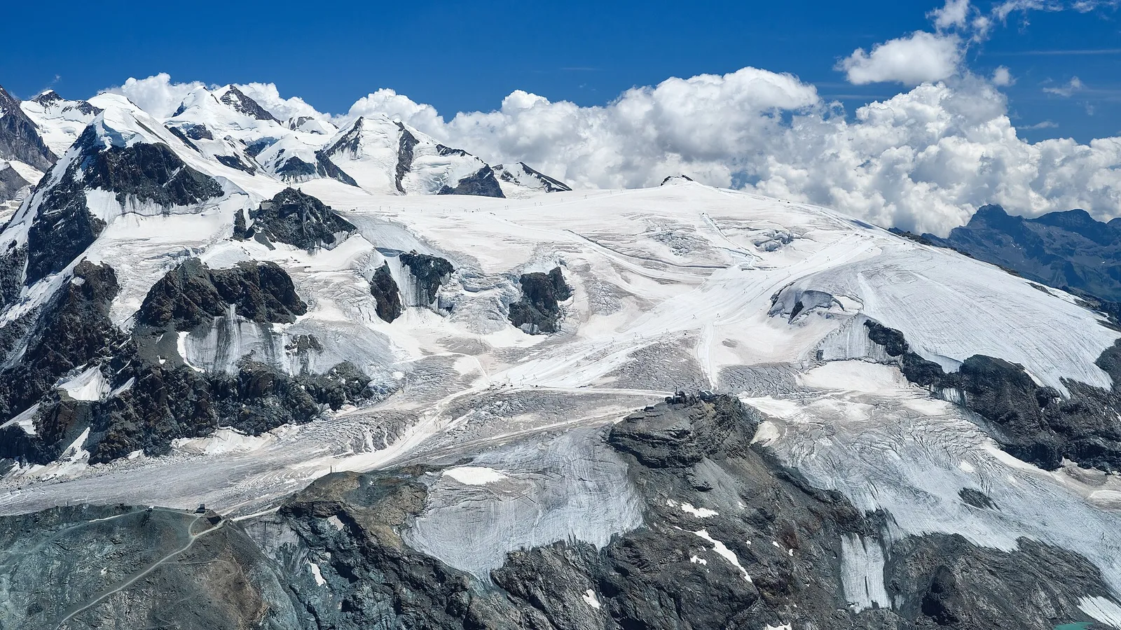
Along the way — you move in the shadow of the Matterhorn, the pyramid that is the valley’s symbol. High up you enter the world of glaciers and scree, where the air is thin and the views open onto the 4000ers. It is for experienced hikers: steep or exposed sections, a sure foot is essential.
Getting there
Parking
Photo gallery
Photos are published immediately. JPG/PNG/WebP, max 6 MB.
Flora along the trail
Wildlife to spot
ACurated and verified by Andrea Rama
Data source: Catasto Sentieri Regione Autonoma VdA · Open data — DGR 899/2014
Last verified:
Valtournenche
Related trails
Same valley or similar routes — more hikes to explore.
Valtournenche
Anello Area sportiva-Fiernaz-Area sportiva
2.9 km · +28 m · T — from Area sportiva to Area sportiva (Valtournenche).
Valtournenche
Anello dei Villaggi di Antey ( Ruvère, Liesse,Fontaney, Villettaz)
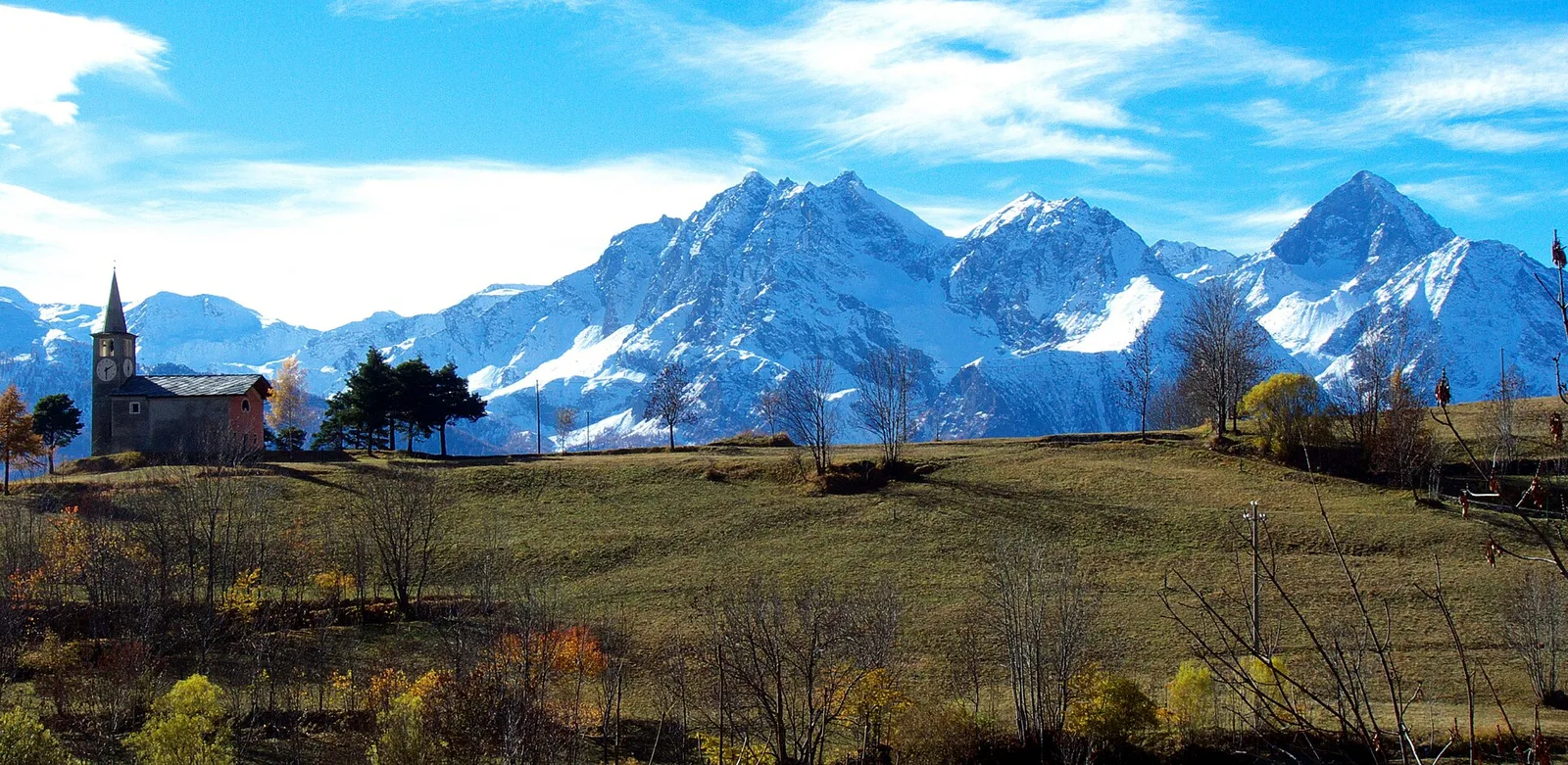
A loop through the sunlit hamlets of Antey and Torgnon: traditional Aosta Valley architecture, vineyards and mid-mountain forest, 5.2 km from Ruvère.
Valtournenche
Anello di Champlève
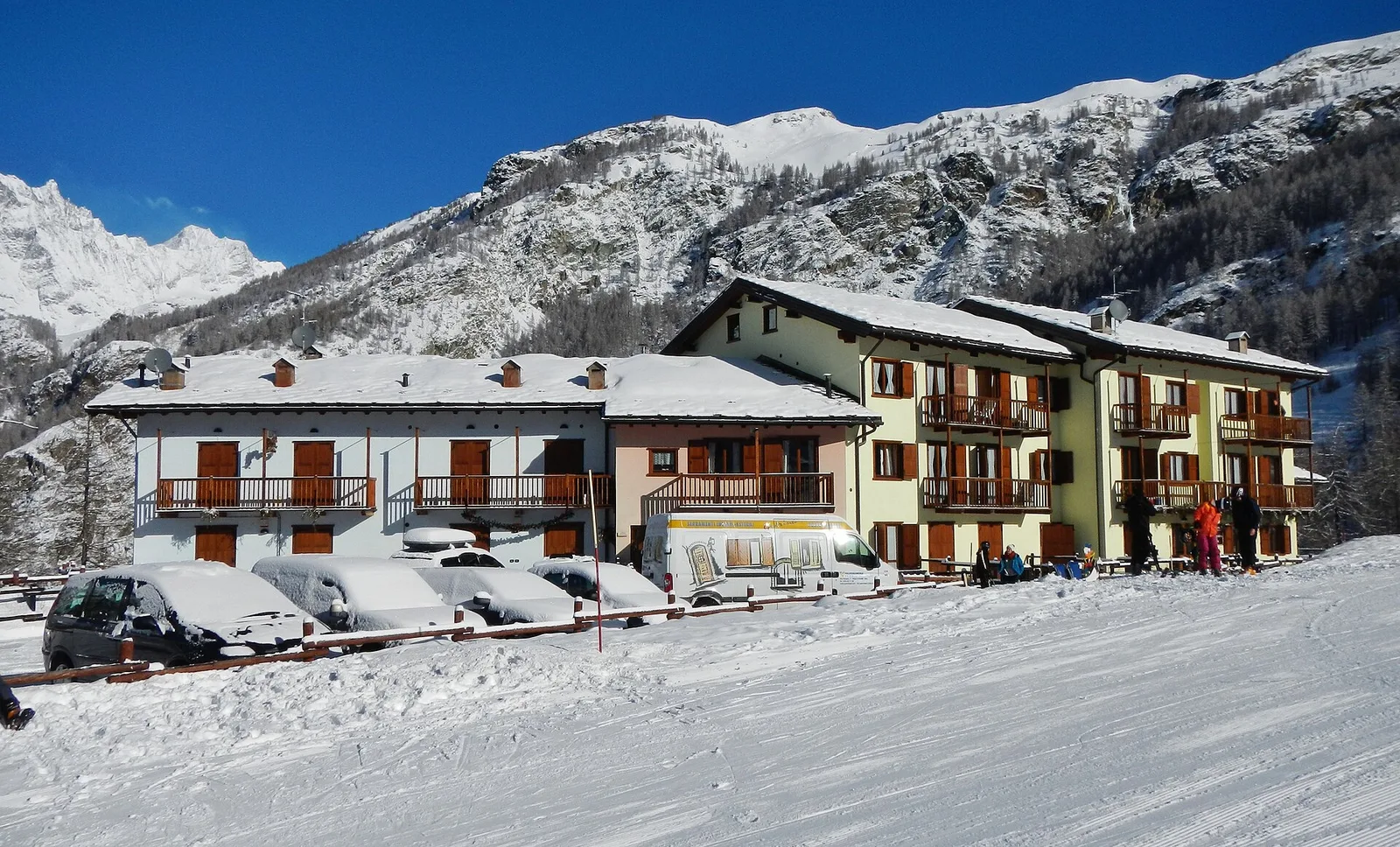
1.9 km · +140 m · E — from Champlève to Champlève (Central Valley).
Valtournenche
Area Pic Nic Champlong - Becca d'Aver e Cima Longhede
6.4 km · +913 m · E — from Area Pic Nic Champlong to Cima Longhede (Valsavarenche).