Druges - Col de Leppe
Map & route
GPX track — verify on the ground before hiking
Fitness level
Druges - Col de Leppe is an official trail from the Aosta Valley trail registry (code 60_S22). The route lies in the municipality of Saint-Oyen, in the Great St Bernard Valley. From Druges (1610 m) to Col de Leppe (3110 m): 13.4 km with +1593 m of elevation change, difficulty EE (CAI scale). Minimum elevation 1610 m, maximum 3110 m. Recommended season per registry: giugno, luglio, agosto, settembre (months 6, 7, 8, 9). GPX track and elevation data from Regione Autonoma Valle d'Aosta (open data DGR 899/2014).
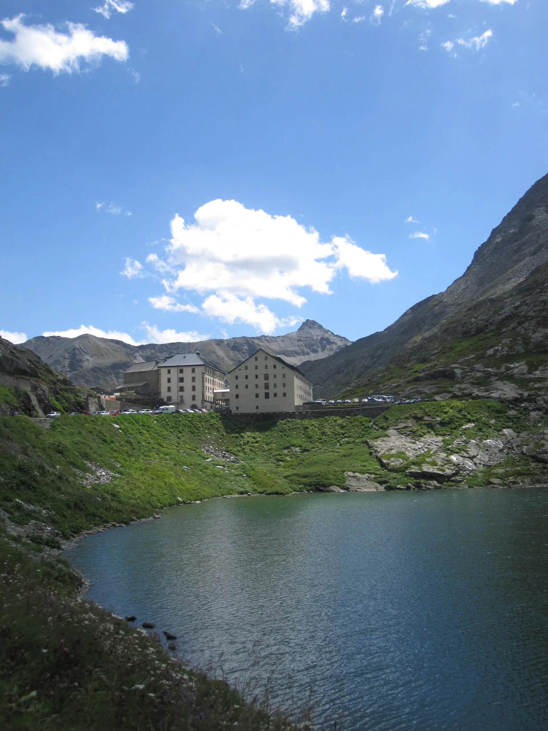
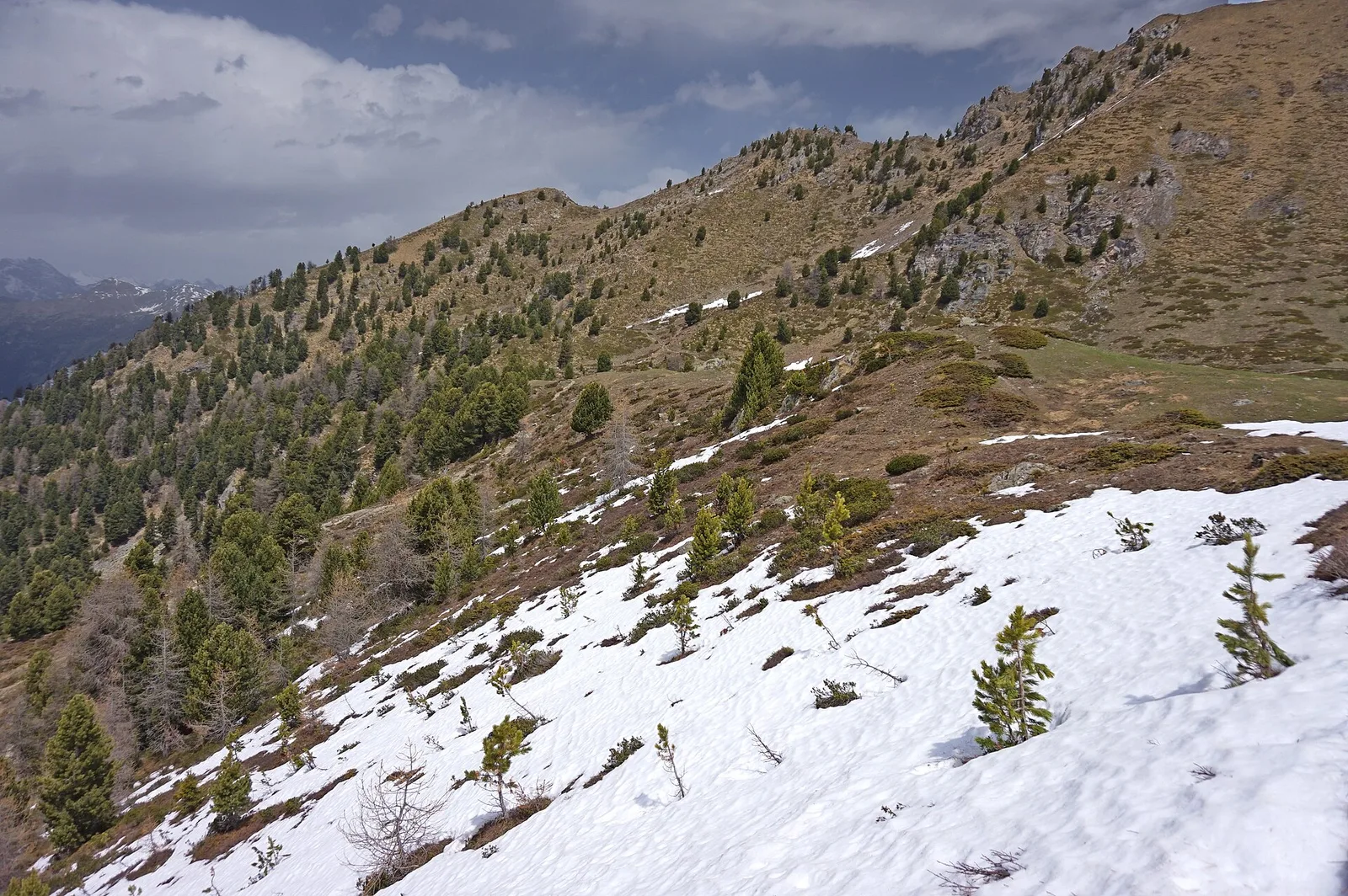
Along the way — you move in the heart of the Gran Paradiso National Park, realm of ibex and chamois. High up you enter the world of glaciers and scree, where the air is thin and the views open onto the 4000ers. It is for experienced hikers: steep or exposed sections, a sure foot is essential.
Getting there
Parking
Photo gallery
Photos are published immediately. JPG/PNG/WebP, max 6 MB.
Flora along the trail
Wildlife to spot
ACurated and verified by Andrea Rama
Data source: Catasto Sentieri Regione Autonoma VdA · Open data — DGR 899/2014
Last verified:
Val di Cogne
Related trails
Same valley or similar routes — more hikes to explore.
Val di Cogne
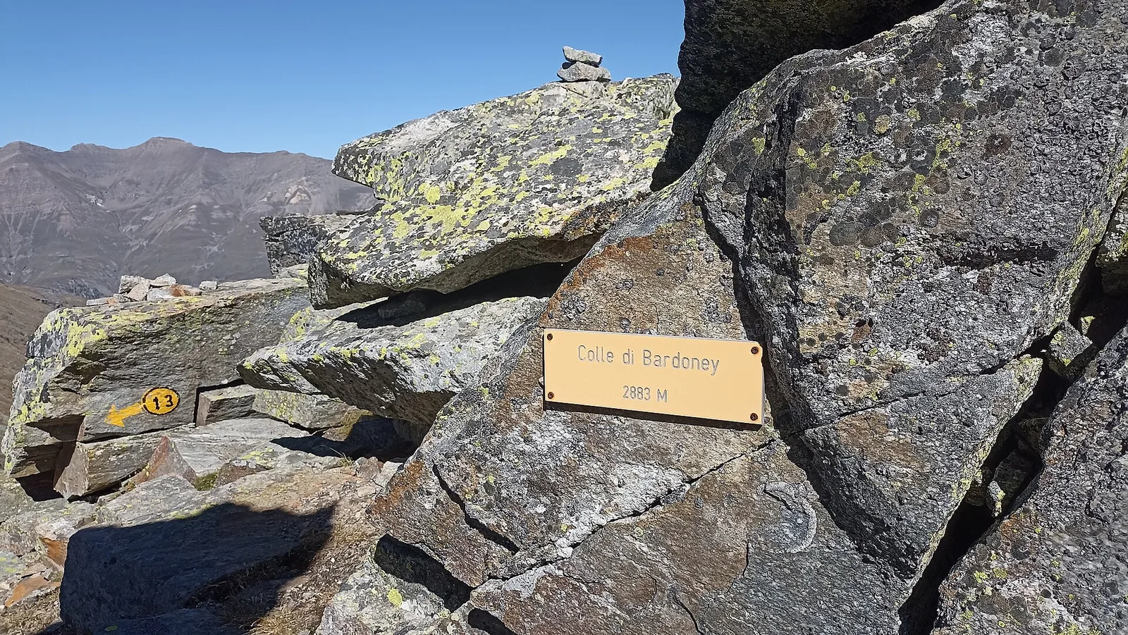
Alpe Bardoney (incrocio sentieri 12-13G)- Col de l'Arolla
5.3 km · +684 m · EE — from Alpe Bardoney (incrocio sentieri 12-13G) to Col de l'Arolla (Lys Valley).
Val di Cogne
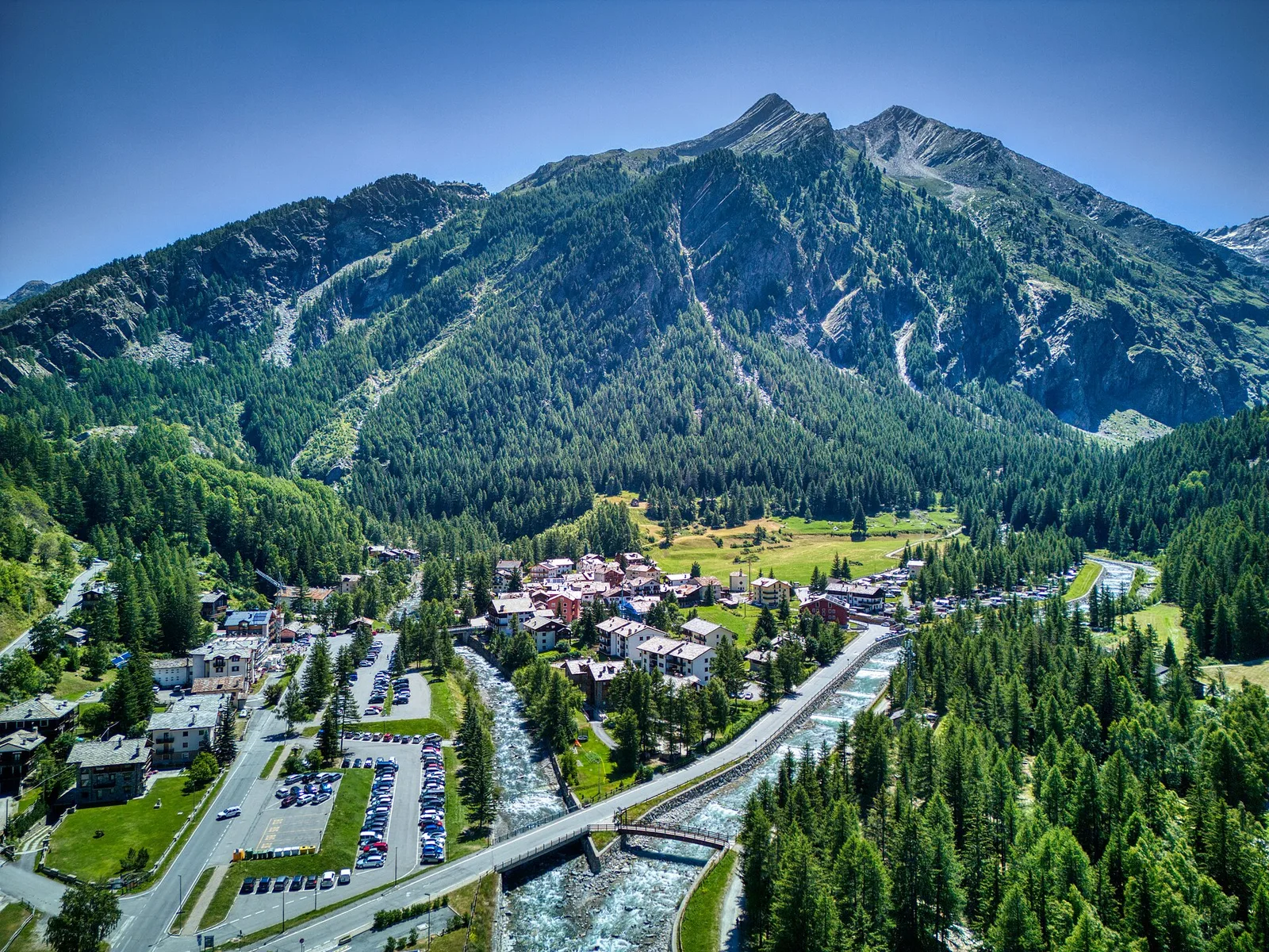
Antiche miniere di ferro di Colonna
3.8 km · +852 m · E — from Moline to Miniere di Colonna (Lys Valley).
Val di Cogne
Arpisson - Col Chasèche
2.3 km · +498 m · E — from Arpisson to Col Chasèche (Lys Valley).
Val di Cogne
Arrivo impianto risalita Chamolé- Tête Noire
1.4 km · +497 m · E — from Arrivo impianto risalita Chamolé to Tête Noire (Lys Valley).