Gran Paradiso Tour — Stage 8: Eaux Rousses → Rifugio Vittorio Sella
16.7 km
+1755 m
−979 m
10 h
Fitness level
Map & route
GPX track — verify on the ground before hiking
Description
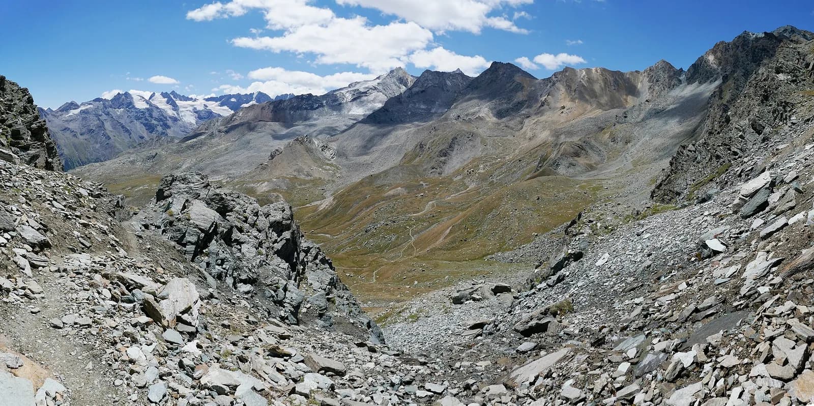
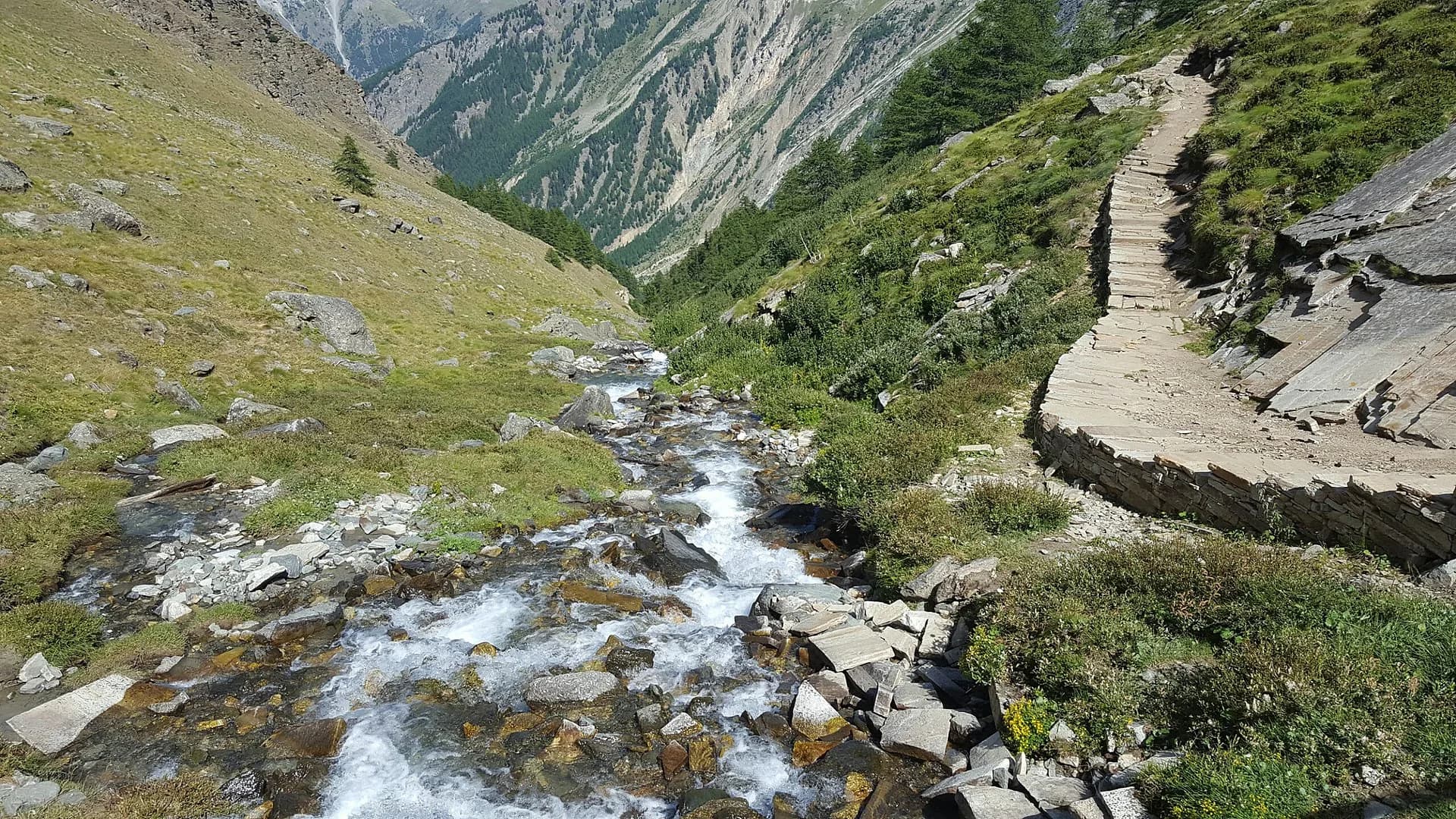
The loop returns towards Cogne re-crossing the Col Lauson (3,296 m) from the Levionaz side: 1,600 metres of steady climbing on the royal mule track, often in the company of ibex, to regain the pass and descend to Rifugio Vittorio Sella (2,588 m).
The return towards Cogne re-crosses the Col Lauson, this time from the Levionaz side: 1,600 metres of continuous climbing that the royal mule track turns methodical, almost hypnotic. Best to start at dawn, when chamois and ibex come down to the low pastures and the light cuts across the valley. From the col, a short, steep equipped descent leads to the Lauson basin and the Sella hut, where the day ends in the traditional way: sunset on the Grivola and ibex grazing by the door. Strong legs can push on to Cogne and shorten the final day.
Key points
Col Lauson
3296 m · 12.1 km from start
Earth sciences
Geology & landscape
Gran Paradiso, like Monte Rosa, is an internal crystalline massif of the Penninic nappes: augen orthogneisses derived from Permian granites, wrapped in a sheath of calcschists with greenstones — metamorphosed ocean floor the tour crosses at the Lauson, Rosset and Entrelor passes. At the Nivolet the plateaus are carved in the softer calcschists, while the Valnontey walls expose the massif’s gneissic core.
History & culture
The Col Lauson is the pass of ibex and chamois migrations between Valsavarenche and Cogne: rangers have run the summer wildlife censuses here for a century.
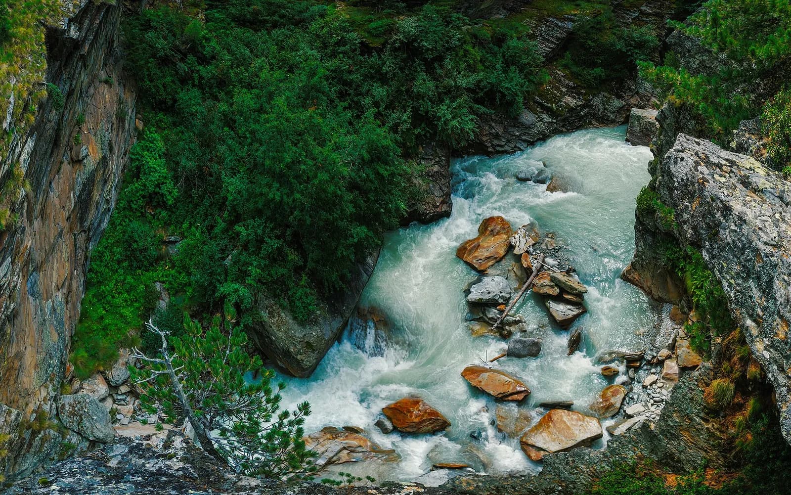
Water sources
Water at the stage's support points (Eaux Rousses, Rifugio Vittorio Sella). On the high ground and at the passes springs are not guaranteed: fill bottles in the valley and at the huts.
Getting there
Aosta Valley side served by VITA buses and connections from Aosta; many valley heads have summer shuttles. Check seasonal timetables at arriva.it / vita-vda.com.
Warnings
- Snowfields possible on the passes until early July
- Check the weather: long high-altitude stages with few escape routes
- Book overnight stops in peak season
Start & end
Start
Eaux Rousses
1651 m
Finish
Rifugio Vittorio Sella
2579 m
Refuges & bivouacs
Photo gallery
Adjacent stages
ACurated and verified by Andrea
Data source: Parco Nazionale Gran Paradiso — rete sentieri ufficiale · Traccia calcolata su rete sentieri OpenStreetMap (ODbL); verificare sul terreno
Last verified:
Valsavarenche — Val di Cogne
Related trails
Same valley or similar routes — more hikes to explore.
Valsavarenche
Gran Paradiso Tour — Stage 4: Eaux Rousses → Pont
Up the wild Valsavarenche to Pont.
Valsavarenche — Valle Orco (Piemonte)
Gran Paradiso Tour — Stage 5: Pont → Rifugio Città di Chivasso
The Nivolet plateau, lakes and peat bogs to the Piedmont border.
Valsavarenche
High Route 2 — Stage 8: Eaux-Rousses → Rifugio Vittorio Sella
Highest stage on VdA High Routes: Col du Loson (3296 m) and Rifugio Vittorio Sella.
Valsavarenche
Degioz - Bocconère
2.5 km · +549 m · E — from Degioz to Bocconère (Ayas Valley).