Gran Paradiso Tour — Stage 7: Rhêmes-Notre-Dame → Eaux Rousses
15.1 km
+1283 m
−1429 m
9.5 h
Fitness level
Map & route
GPX track — verify on the ground before hiking
Description
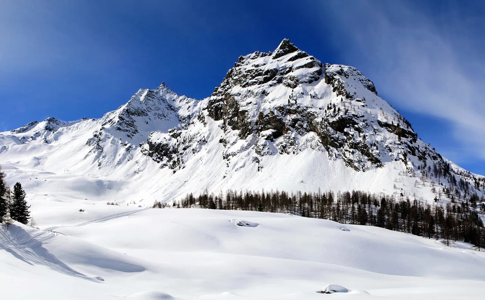
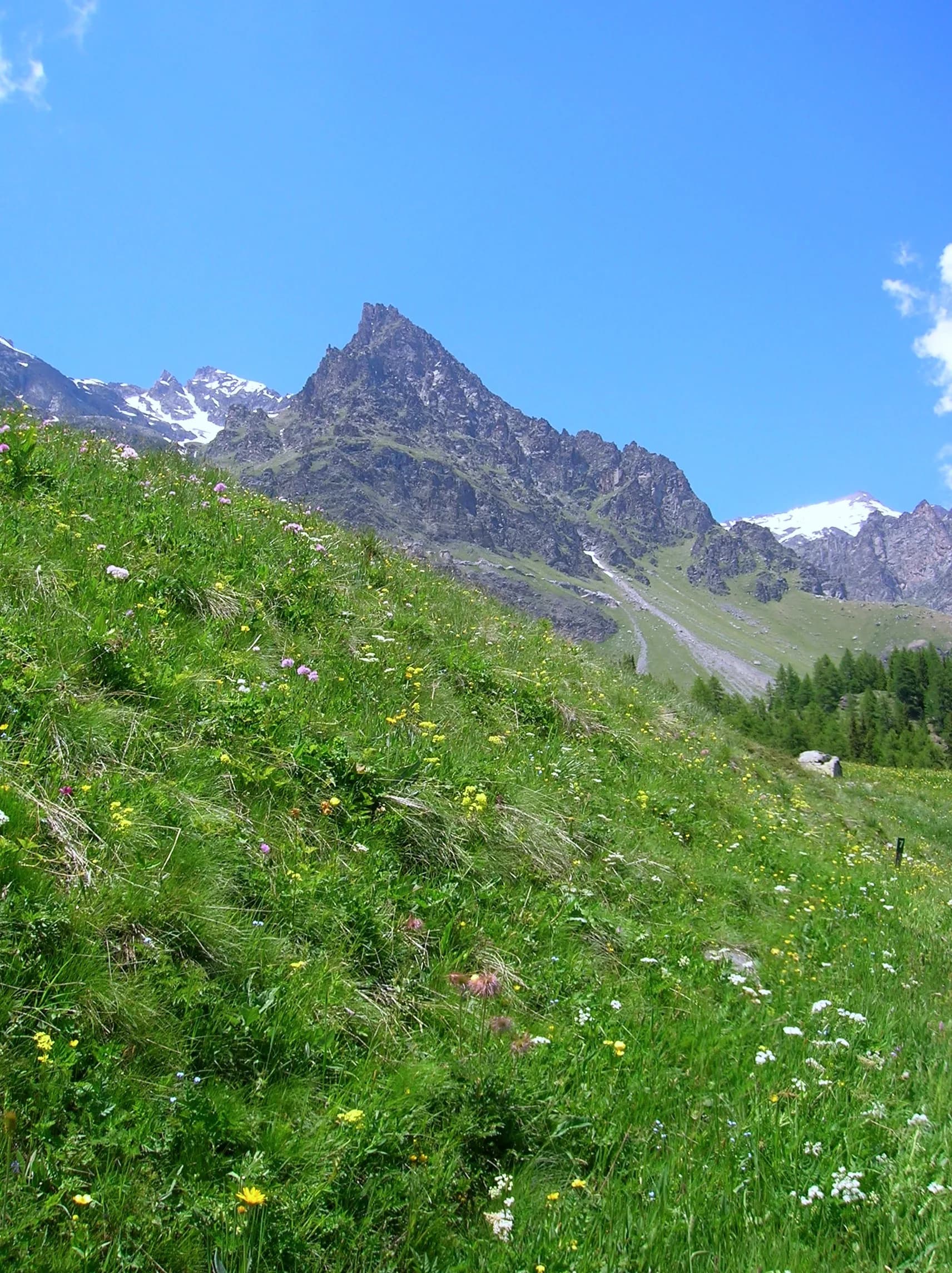
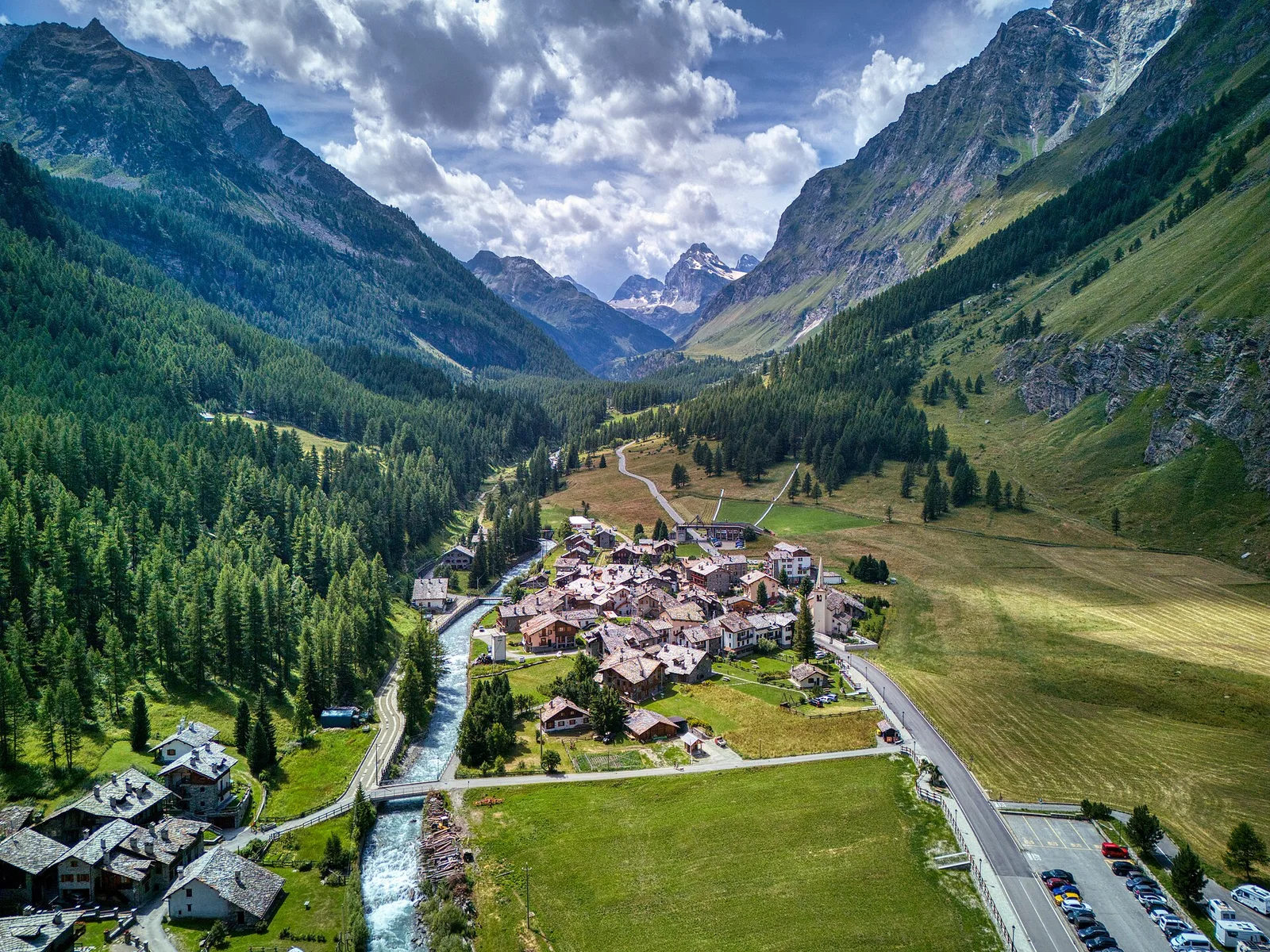
From Rhêmes-Notre-Dame climb through the Entrelor forest and high pastures to the Col Entrelor (3,007 m), between the realms of the chamois and the bearded vulture. The descent passes the Djouan lakes and the Orvieille alp, an old royal hunting reserve, down to Eaux-Rousses (1,666 m).
You climb through the Entrelor forest — one of the Park’s finest larch woods — to the plateaus of the same name, where whole hillsides of alpenrose bloom in early summer. The Col Entrelor, at 3,007 metres, is chamois country: whole herds are often seen on the crests. The descent towards the Valsavarenche passes the Djouan and Noir lakes, dark glacial mirrors, and the Orvieille alp, one of Vittorio Emanuele II’s favourite hunting camps: the belvedere sweeps the whole valley. A long final forest descent brings you to Eaux-Rousses.
Key points
Col Entrelor
3007 m · 5.5 km from start
Earth sciences
Geology & landscape
Gran Paradiso, like Monte Rosa, is an internal crystalline massif of the Penninic nappes: augen orthogneisses derived from Permian granites, wrapped in a sheath of calcschists with greenstones — metamorphosed ocean floor the tour crosses at the Lauson, Rosset and Entrelor passes. At the Nivolet the plateaus are carved in the softer calcschists, while the Valnontey walls expose the massif’s gneissic core.
History & culture
At Orvieille remain the royal hunting lodge and the tree avenue planted for Vittorio Emanuele II: the “Hunter King” stayed here every summer between 1850 and 1875 with court and beaters.
Water sources
Water at the stage's support points (Rhêmes-Notre-Dame, Eaux Rousses). On the high ground and at the passes springs are not guaranteed: fill bottles in the valley and at the huts.
Getting there
Aosta Valley side served by VITA buses and connections from Aosta; many valley heads have summer shuttles. Check seasonal timetables at arriva.it / vita-vda.com.
Warnings
- Snowfields possible on the passes until early July
- Book overnight stops in peak season
Start & end
Start
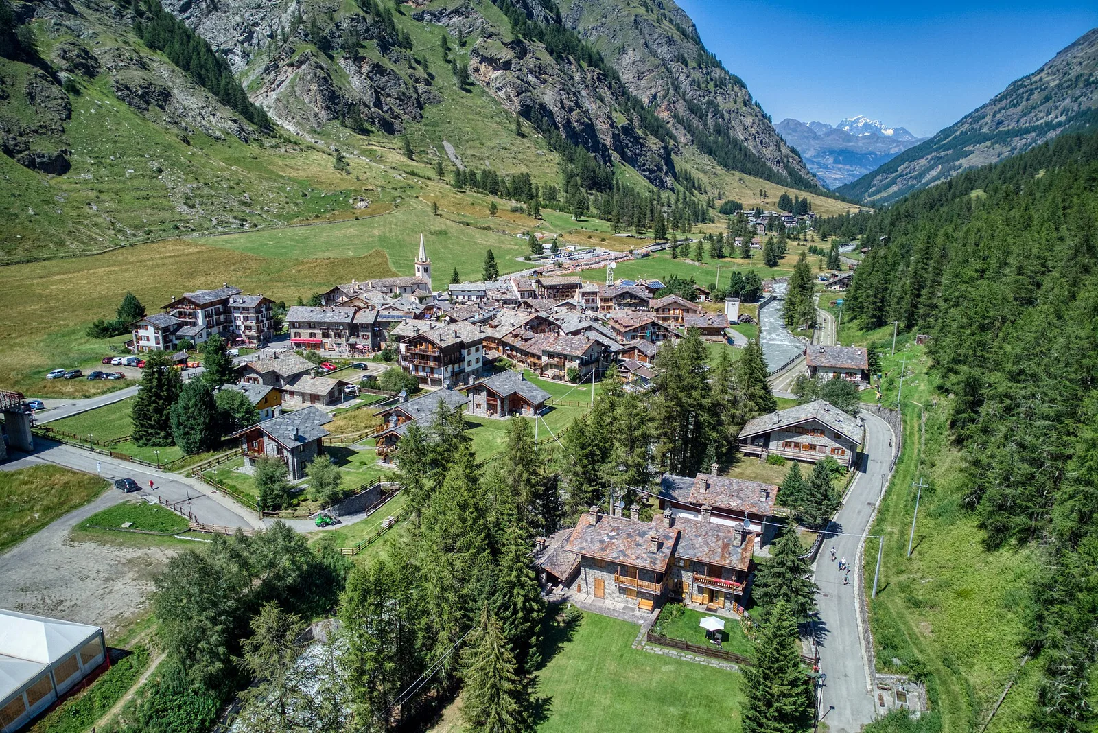
Rhêmes-Notre-Dame
1725 m
Finish
Eaux Rousses
1651 m
Adjacent stages
ACurated and verified by Andrea
Data source: Parco Nazionale Gran Paradiso — rete sentieri ufficiale · Traccia calcolata su rete sentieri OpenStreetMap (ODbL); verificare sul terreno
Last verified:
Val di Rhêmes — Valsavarenche
Related trails
Same valley or similar routes — more hikes to explore.
Val di Rhêmes
High Route 2 — Stage 7: Rhêmes-Notre-Dame → Eaux-Rousses
Iconic AV2 stage: Col Entrelor, Lake Djouan and descent to Eaux-Rousses.
Val di Rhêmes
Artalle - Pechaud - Chaussettaz
2.9 km · +535 m · E — from Artalle to Chaussettaz (Great St Bernard Valley).
Val di Rhêmes
Bruil - Casotto PNGP di Sort
2.7 km · +571 m · E — from Bruil to Casotto PNGP di Sort (Great St Bernard Valley).
Val di Rhêmes
Bruil - Chaussettaz
2.6 km · +472 m · E — from Bruil to Chaussettaz (Great St Bernard Valley).