High Route 2 — Stage 7: Rhêmes-Notre-Dame → Eaux-Rousses

16 km
+1281 m
−1325 m
6.5 h
Fitness level
~1665 kcal estimated
Elevation profile
Map & route
Download GPXOfficial GPX track — Aosta Valley Region / lovevda.it
Description
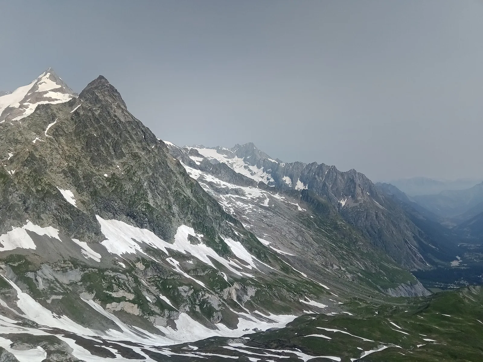
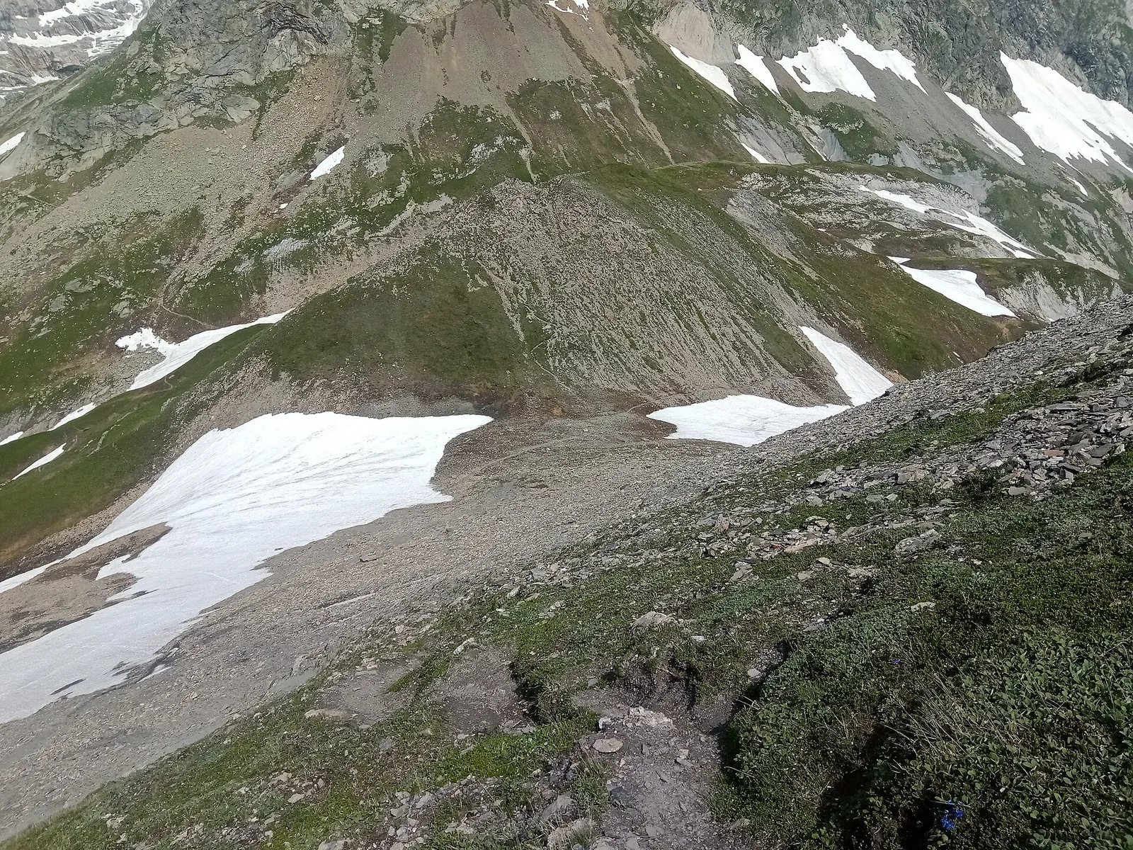
Climb to Col de l'Entrelor (3002 m), cross Lake Djouan and descend into Valsavarenche to Eaux-Rousses in Gran Paradiso National Park.
Key points
Col de l'Entrelor
3002 m · 8 km from start
Marked AV2 alpine pass
Lago Djouan
2515 m · 12 km from start
Earth sciences
Geology & landscape
Gran Paradiso Park valley: Mesozoic limestones and dolomites with gorges and fluvial terraces; above 2200 m gneiss and micaschists.
Water sources
PNGP visitor centre at Rhêmes-ND; springs along the trail toward Col Entrelor.
Getting there
VITA buses and connections from Aosta; check seasonal timetables at vita.it.
Parking
Parcheggi comunali nei paesi di valle; verificare limitazioni in alta stagione.
Warnings
- Check weather and residual snow early season
- Book huts in peak season
Nearby peaks
Start & end
Start
Rhêmes-Notre-Dame
1722 m
Finish
Eaux-Rousses
1676 m
Flora along the trail
Adjacent stages
ACurated and verified by Andrea
Data source: Catasto Sentieri Regione Autonoma VdA — Alta Via n.2 · Open data — DGR 899/2014
Last verified:
Val di Rhêmes
Related trails
Same valley or similar routes — more hikes to explore.

Val di Rhêmes
Anello del Verrand
2.6 km · +233 m · E — from Château Verrand to Château Verrand (Rhêmes Valley).
Val di Rhêmes
Balme - Col d'Arp
8.2 km · +1265 m · E — from Balme to Col d'Arp (Rhêmes Valley).
Val di Rhêmes
Balme - Col du Berrio Blanc
11 km · +1555 m · E — from Balme to Col du Berrio Blanc (Rhêmes Valley).
Val di Rhêmes
Balme - Lac de la Platé
8.1 km · +1140 m · E — from Balme to Lac de la Platé (Rhêmes Valley).