High Route 2 — Stage 6: Rifugio Chalet de l'Épée → Rhêmes-Notre-Dame

10 km
+475 m
−1119 m
3.5 h
Fitness level
~1011 kcal estimated
Elevation profile
Map & route
Download GPXOfficial GPX track — Aosta Valley Region / lovevda.it
Description
Brief climb to Col Fenêtre (2840 m) and descent through pastures and woods to the Park visitor centre at Rhêmes-Notre-Dame.
Key points
Col Fenêtre
2840 m · 4 km from start
Marked AV2 alpine pass
Earth sciences
Geology & landscape
Side valley with hydroelectric basin: gneiss and crystalline schist outcrops, glacial cirques and lacustrine deposits in the valley floor.
Water sources
Fountains in Planaval and Valgrisenche; Chalet de l'Épée hut.
Getting there
VITA buses and connections from Aosta; check seasonal timetables at vita.it.
Parking
Parcheggi comunali nei paesi di valle; verificare limitazioni in alta stagione.
Warnings
- Check weather and residual snow early season
- Book huts in peak season
Nearby peaks
Start & end
Start
Rifugio Chalet de l'Épée
2366 m
Finish
Rhêmes-Notre-Dame
1722 m
Refuges & bivouacs
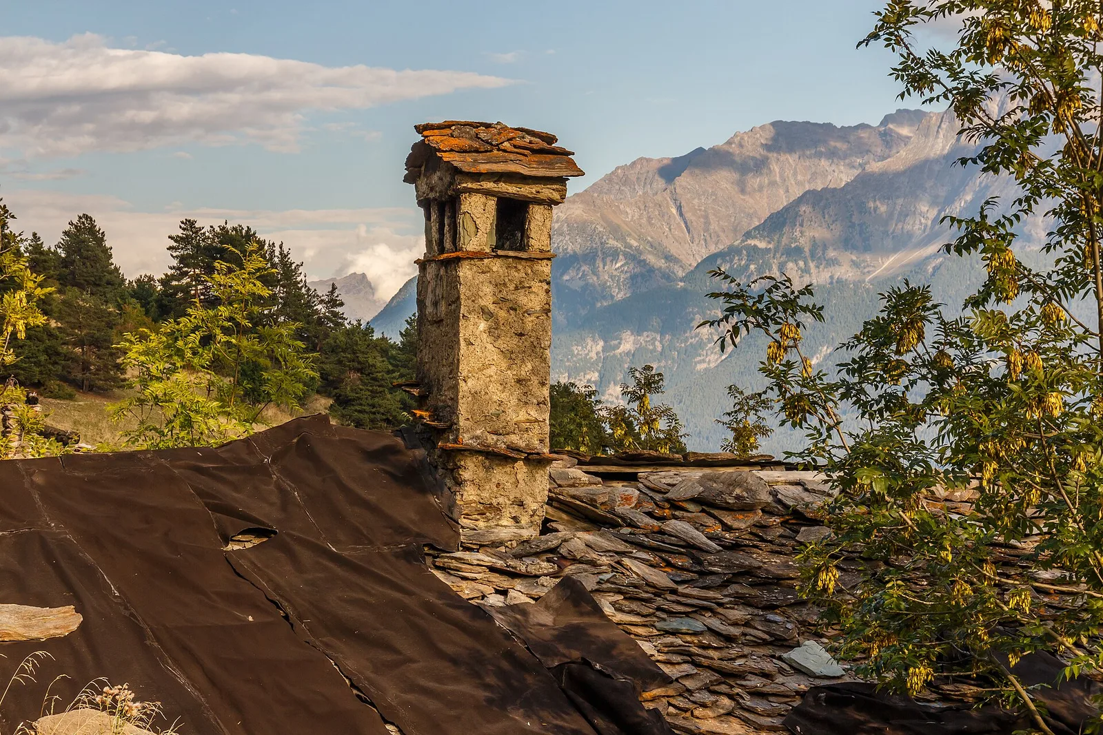
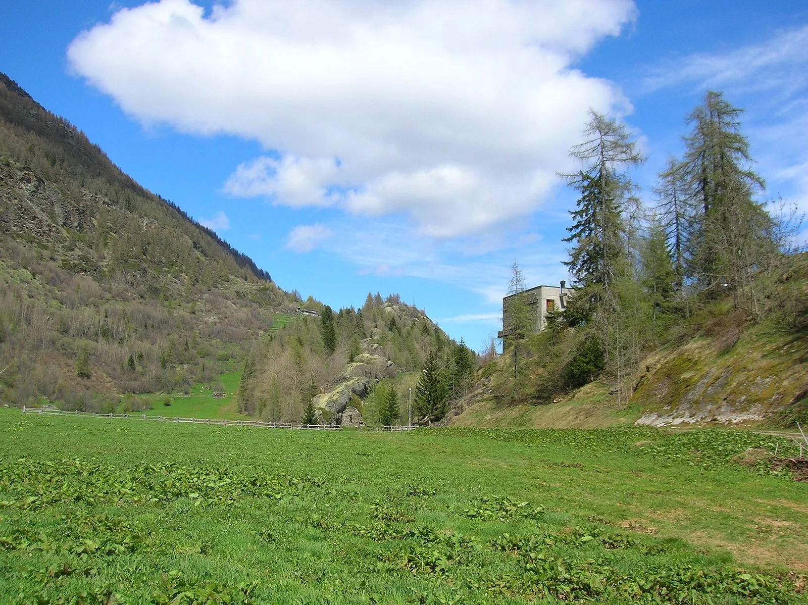
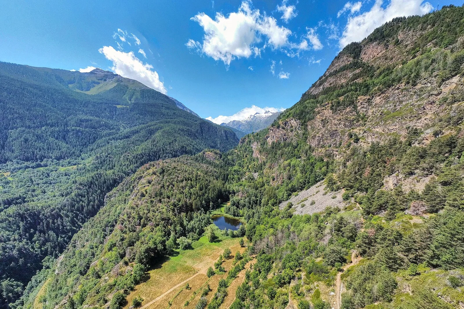
Photo gallery
Flora along the trail
Adjacent stages
ACurated and verified by Andrea
Data source: Catasto Sentieri Regione Autonoma VdA — Alta Via n.2 · Open data — DGR 899/2014
Last verified:
Valgrisenche
Related trails
Same valley or similar routes — more hikes to explore.
Valgrisenche
Bellon - Becca France - Tsa de la Comba
7.7 km · +1065 m · EE — from Bellon to Tsa de la Comba (Valgrisenche).
Valgrisenche
Chamin - Boregne
3.5 km · +585 m · E — from Chamin to Boregne (Valgrisenche).
Valgrisenche
Grand Haury - Boregne
5.8 km · +835 m · E — from Grand Haury to Boregne (Valgrisenche).
Valgrisenche
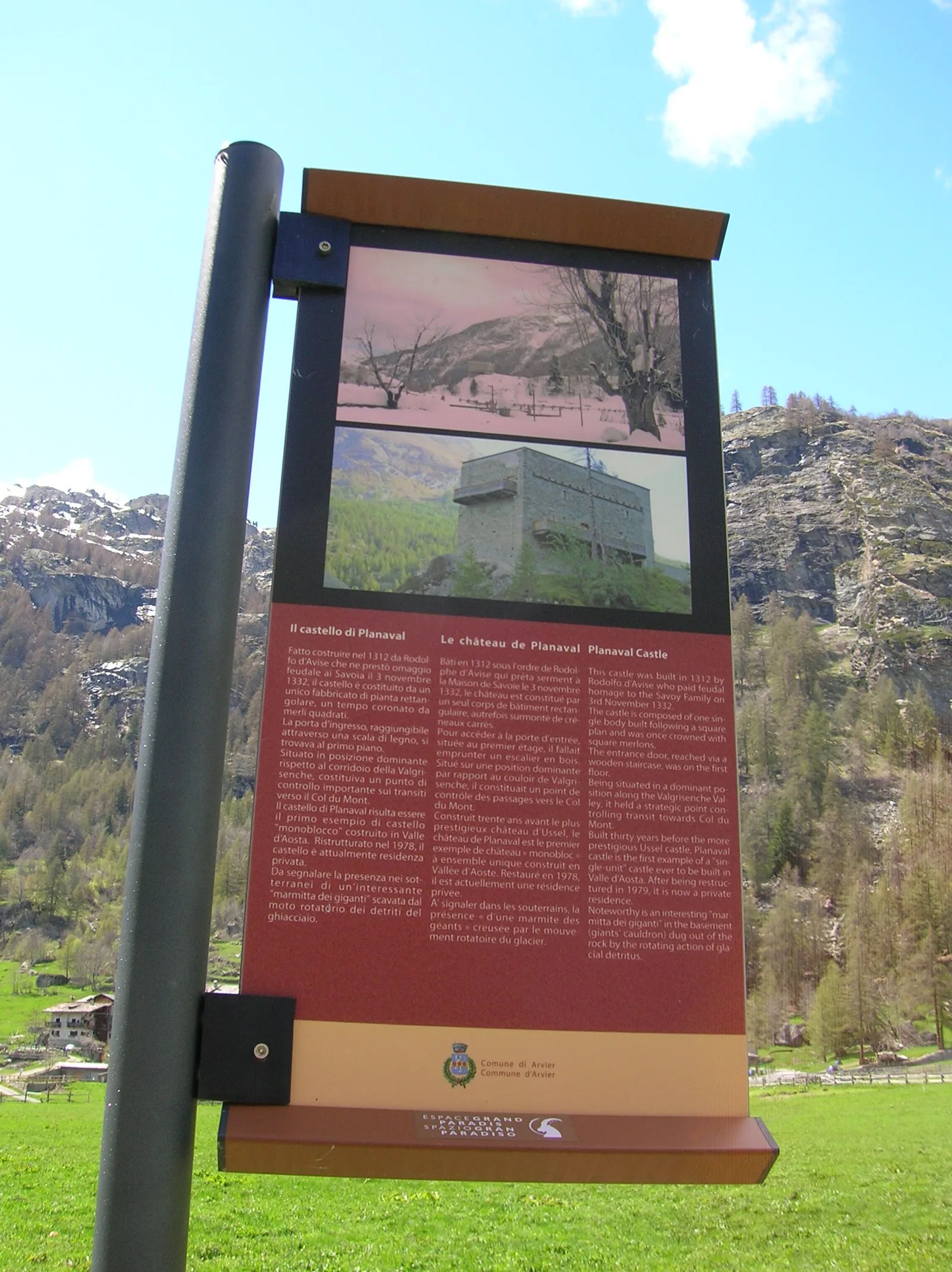
Grand Haury - Castello Montmayeur
0.8 km · +0 m · E — from Grand Haury to Castello Montmayeur (Valgrisenche).