Rifugio Grand Tournalin - Becca Trécare
Warnings
- Final section on scree and rock with steep or exposed steps: requires a sure foot and a head for heights (EE grade).
- High-altitude route: start early, plan time and water, and turn back before early afternoon.
- Residual snow may linger in gullies and on north-facing slopes into early summer: assess current conditions.
 1 / 2
1 / 2Map & route
GPX track — verify on the ground before hiking
Fitness level
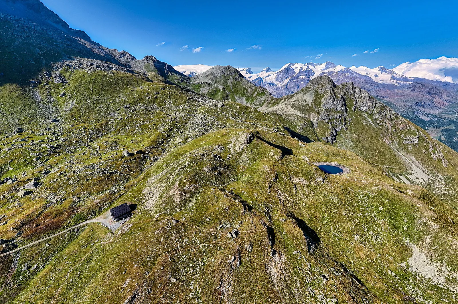
From the Grand Tournalin refuge, at 2,544 metres between Val d'Ayas and Valtournenche, a short but steep climb reaches Becca Trécare, at 3,029 metres. Just over two kilometres for nearly five hundred metres of ascent, on experienced-hiker terrain: scree slopes and rocky sections that demand a sure foot in the final part. The summit, one of the most accessible 3,000ers in the area, gives a vast panorama over the Matterhorn, Monte Rosa and the arc of border peaks. It is the natural complement to the climb up to the refuge, to be tackled in settled weather and with care for late-lying snowfields early in the season. Best in summer.
Getting there
Parking
Refuges & bivouacs
Photo gallery
Photos are published immediately. JPG/PNG/WebP, max 6 MB.
Flora along the trail
Wildlife to spot
ACurated and verified by Andrea Rama
Data source: Catasto Sentieri Regione Autonoma VdA · Open data — DGR 899/2014
Last verified:
Valtournenche
Related trails
Same valley or similar routes — more hikes to explore.
Valtournenche
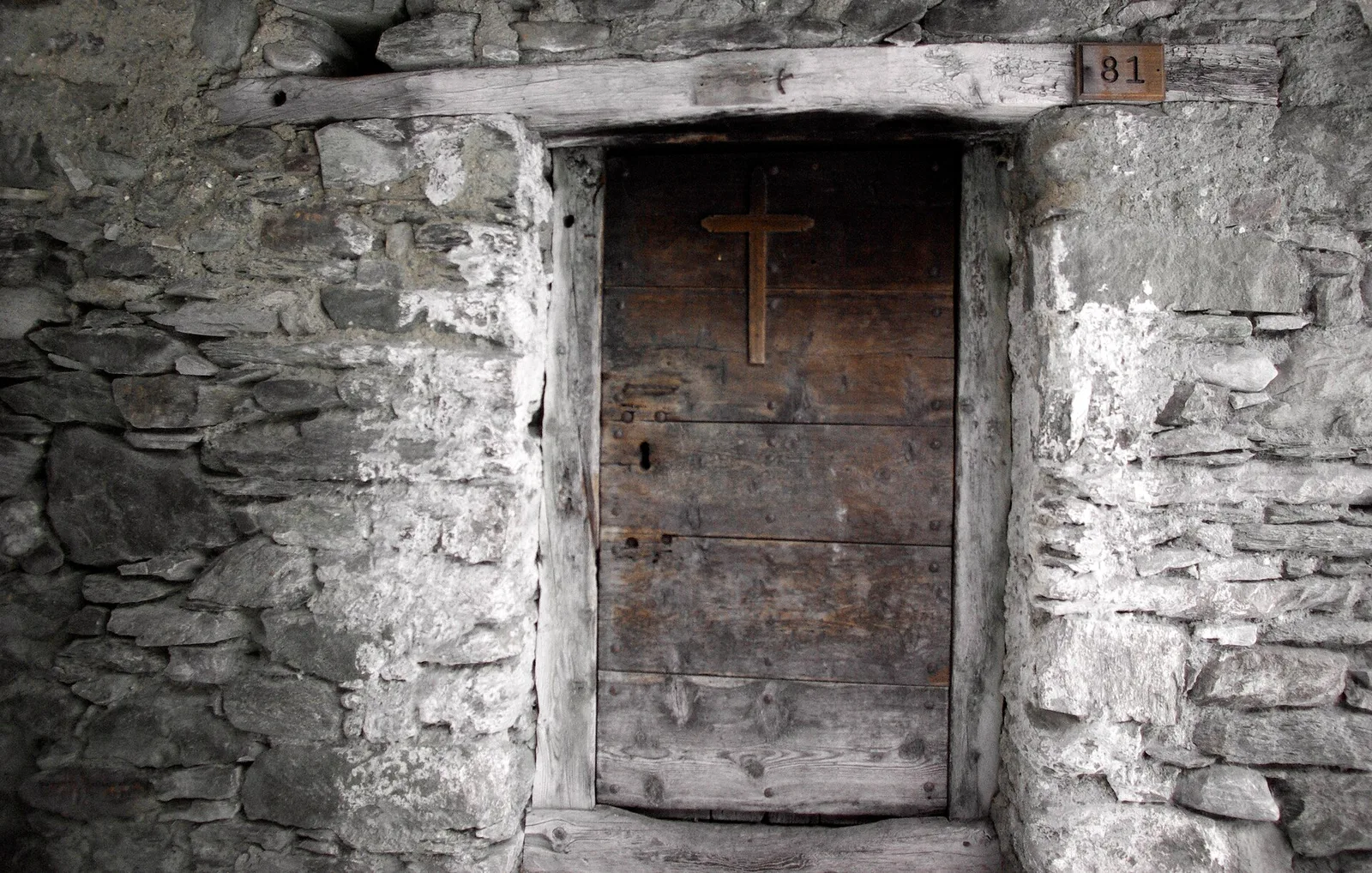
Anello Area sportiva-Fiernaz-Area sportiva
2.9 km · +28 m · T — from Area sportiva to Area sportiva (Valtournenche).
Valtournenche
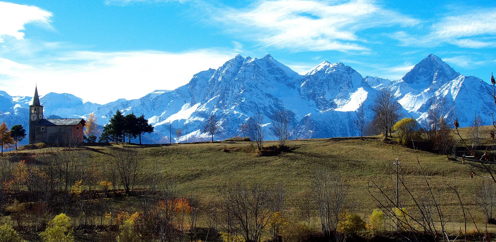
Anello dei Villaggi di Antey ( Ruvère, Liesse,Fontaney, Villettaz)
A loop through the sunlit hamlets of Antey and Torgnon: traditional Aosta Valley architecture, vineyards and mid-mountain forest, 5.2 km from Ruvère.
Valtournenche
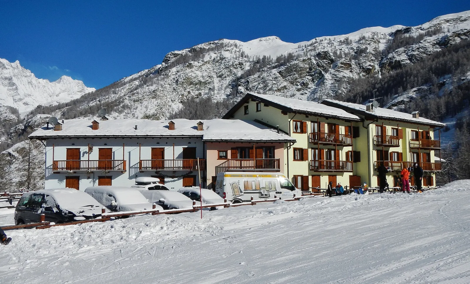
Anello di Champlève
1.9 km · +140 m · E — from Champlève to Champlève (Central Valley).
Valtournenche
Area Pic Nic Champlong - Becca d'Aver e Cima Longhede
6.4 km · +913 m · E — from Area Pic Nic Champlong to Cima Longhede (Valsavarenche).