Quinçod - Colle Chasten
Warnings
- EE: exceptional elevation gain, very early start mandatory. Carry water.
Map & route
GPX track — verify on the ground before hiking
Fitness level
Starting from Quinçod at just 1030 m in the lower Val d'Ayas, this EE-rated route climbs 1708 metres to the Colle Chasten at 2549 m — one of the greatest single-day elevation gains in the Aosta Valley. The trail ascends the full orographic flank of the valley through coppice woodland, intermediate alps and exposed ridgeline terrain. Sections with lateral exposure and the sheer accumulated effort make this suitable only for experienced, well-conditioned mountain walkers.
Getting there
Parking
Photo gallery
Photos are published immediately. JPG/PNG/WebP, max 6 MB.
Flora along the trail
ACurated and verified by Andrea Rama
Data source: Catasto Sentieri Regione Autonoma VdA · Open data — DGR 899/2014
Last verified:
Valle del Lys
Related trails
Same valley or similar routes — more hikes to explore.
Valle del Lys
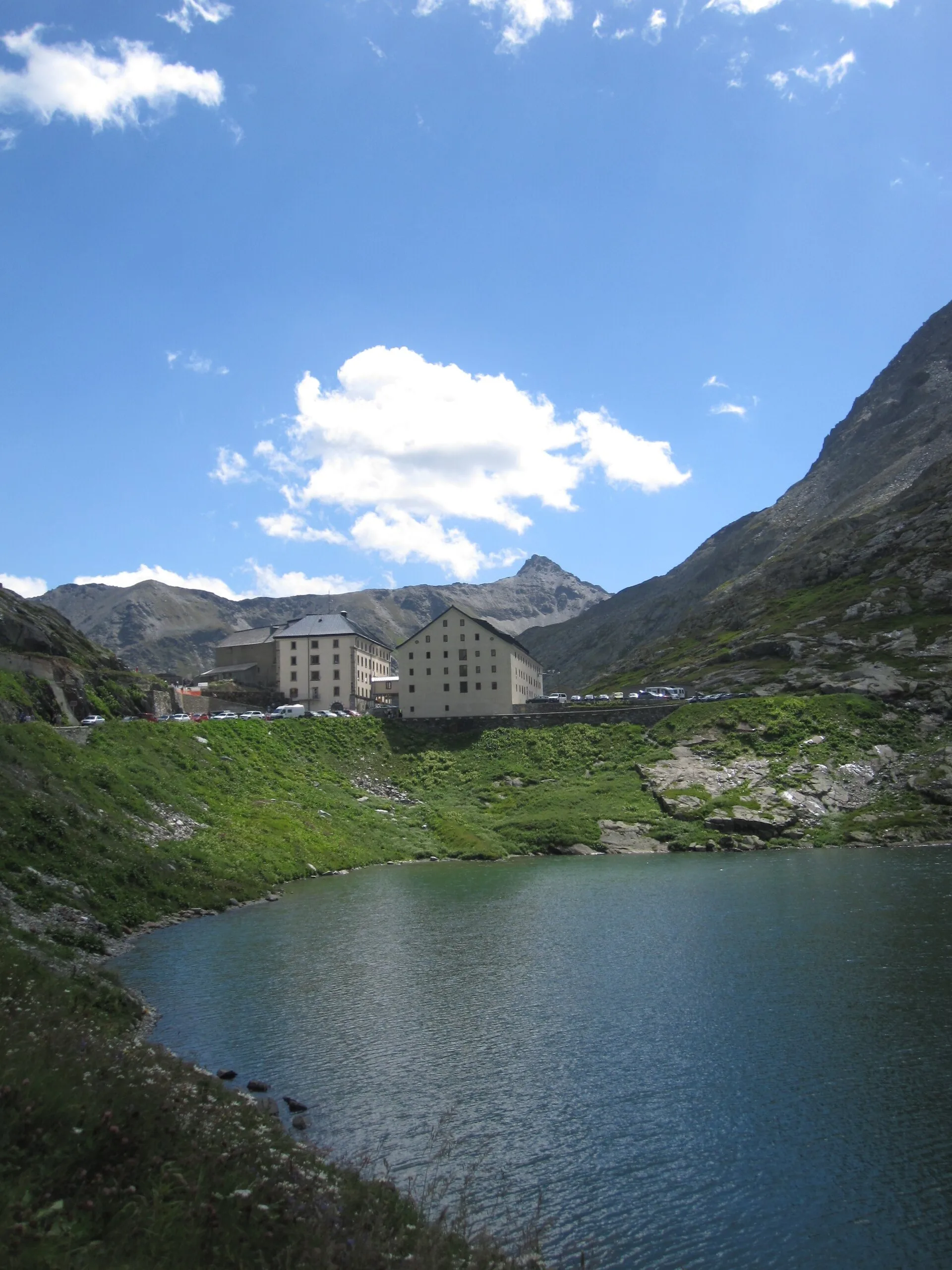
Anello dei Gemelli della Mologna
8.9 km · +996 m · EEA — from Niel to Niel (Great St Bernard Valley).
Valle del Lys
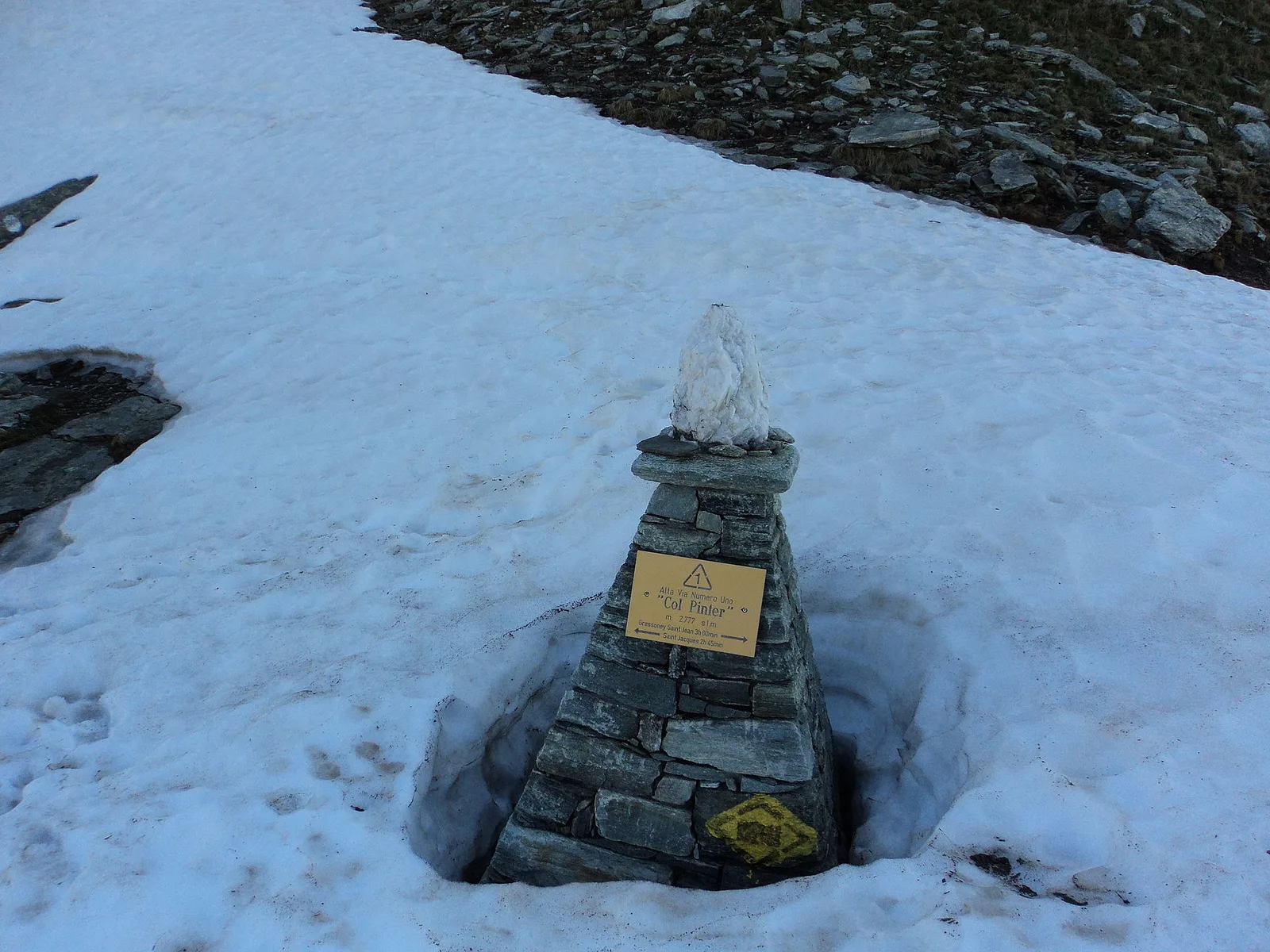
Balmeto - Leck Albezò
1.2 km · +287 m · E — from Balmeto to Leck Albezò (Champorcher Valley).
Valle del Lys
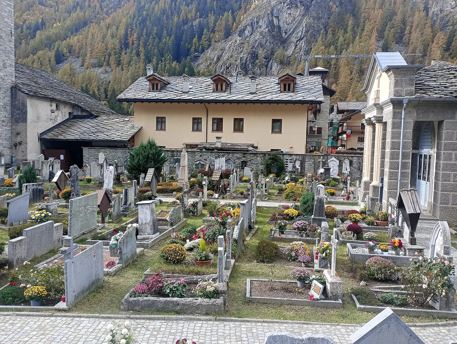
Bino - Passo di Valnera
4.5 km · +1280 m · E — from Bino to Alpe Jatza (Champorcher Valley).
Valle del Lys
Cascate di Niel
0.6 km · +80 m · E — from Start 7B to Cascate di Niel (Great St Bernard Valley).