Bivacco Menabreaz - Col de Leppe
Warnings
- EE route, entirely above 2500 m. Sparse waymarking: detailed map and GPS required.
- Persistent snowfields even in summer; crampons and ice axe if snow present.
Map & route
GPX track — verify on the ground before hiking
Fitness level
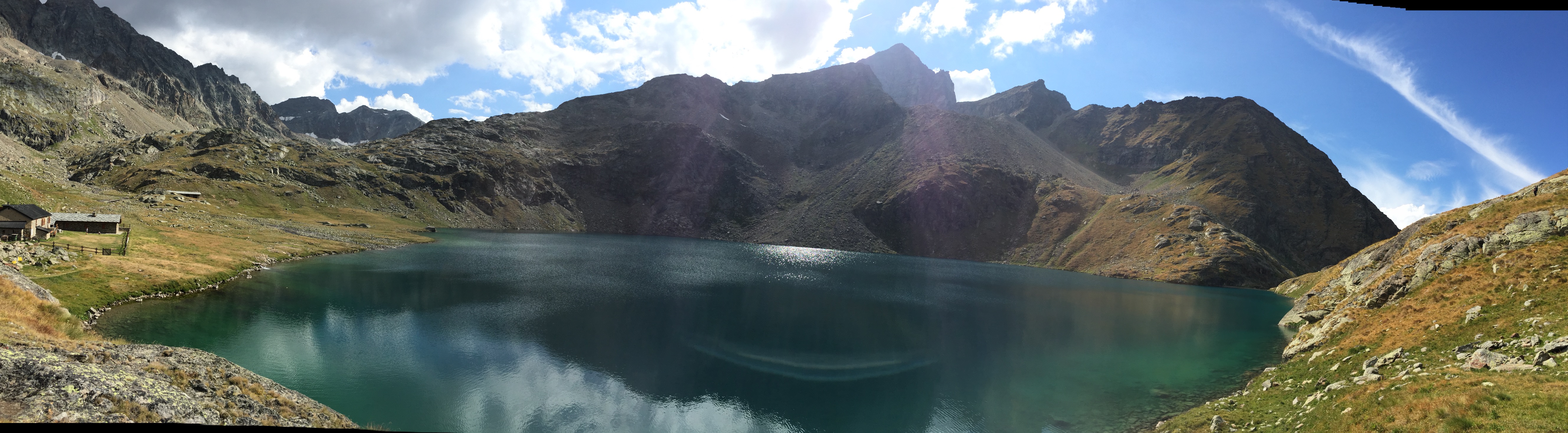
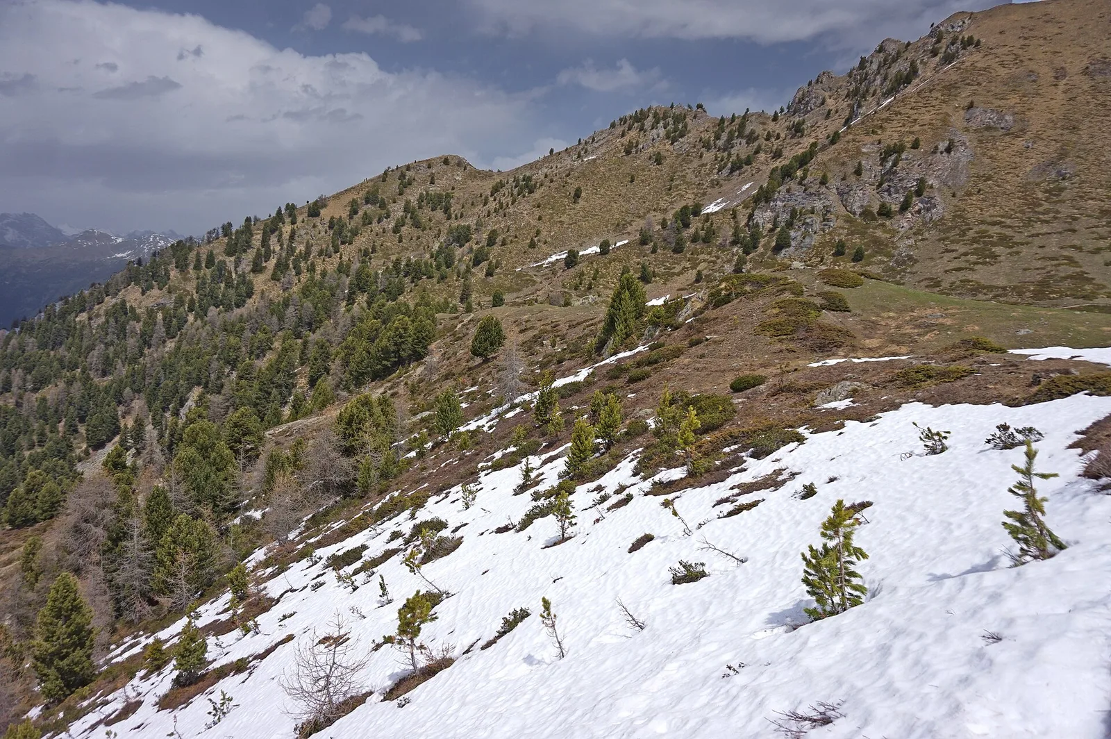
This high-mountain route in the Brissogne area is graded EE (expert hikers only). Starting from the Bivacco Menabreaz at 2546 m, it climbs to the Col de Leppe at 3110 m, gaining 557 m over just 3.2 km — a steep, unrelenting ascent on high-altitude terrain where waymarking is sparse and route-finding skills are essential. Above 2800 m the landscape changes dramatically: vegetation gives way to scree, persistent snowfields and bare rock. The Col de Leppe offers wide views over the opposite slopes and surrounding peaks of the central Aosta Valley. Weather at this altitude can deteriorate rapidly. Crampons and ice axe may be required when snow is present. Strictly for experienced mountain hikers with solid alpine skills.
Getting there
Parking
Photo gallery
Photos are published immediately. JPG/PNG/WebP, max 6 MB.
Flora along the trail
ACurated and verified by Andrea Rama
Data source: Catasto Sentieri Regione Autonoma VdA · Open data — DGR 899/2014
Last verified:
Val di Cogne
Related trails
Same valley or similar routes — more hikes to explore.
Val di Cogne
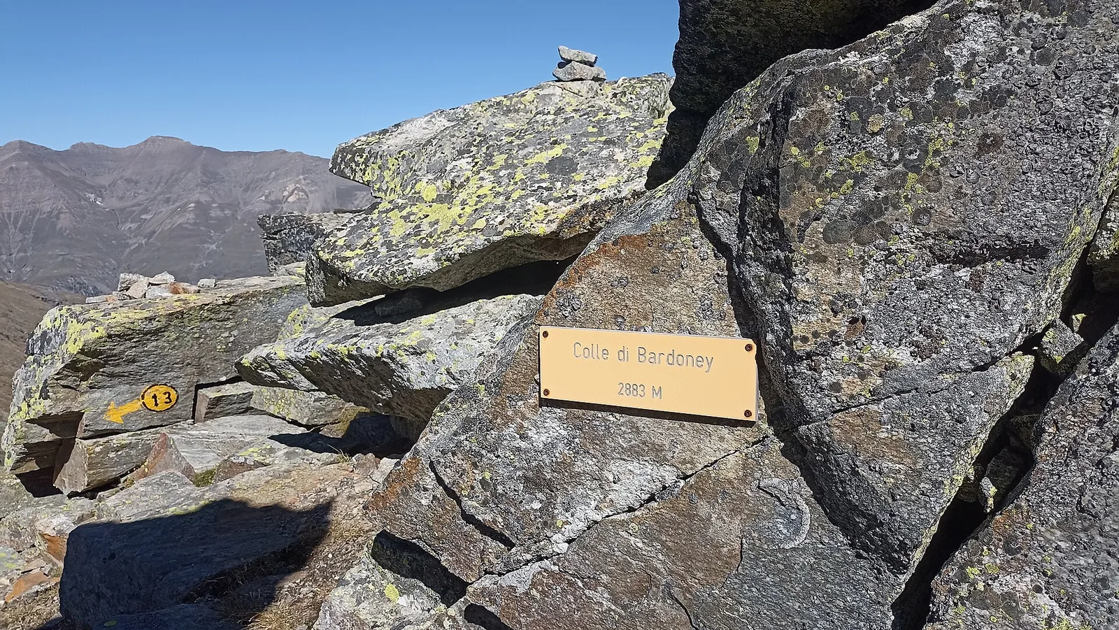
Alpe Bardoney (incrocio sentieri 12-13G)- Col de l'Arolla
5.3 km · +684 m · EE — from Alpe Bardoney (incrocio sentieri 12-13G) to Col de l'Arolla (Lys Valley).
Val di Cogne
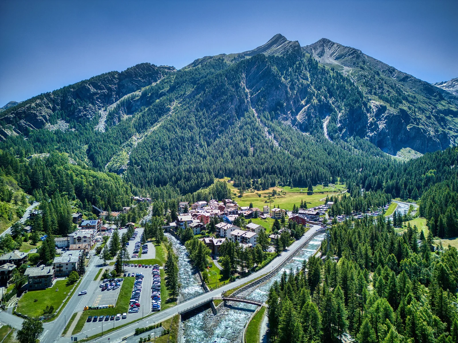
Antiche miniere di ferro di Colonna
3.8 km · +852 m · E — from Moline to Miniere di Colonna (Lys Valley).
Val di Cogne
Arpisson - Col Chasèche
2.3 km · +498 m · E — from Arpisson to Col Chasèche (Lys Valley).
Val di Cogne
Arrivo impianto risalita Chamolé- Tête Noire
1.4 km · +497 m · E — from Arrivo impianto risalita Chamolé to Tête Noire (Lys Valley).