Rifugio Prarayer - Colle di Valcorneraz
Warnings
- EE: high-mountain environment, difficult terrain. Experience required.
- Residual snow at the pass until late July.
 1 / 2
1 / 2Map & route
GPX track — verify on the ground before hiking
Fitness level
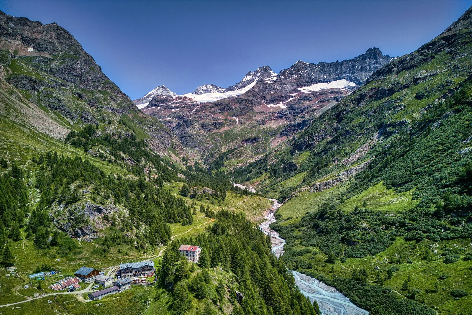
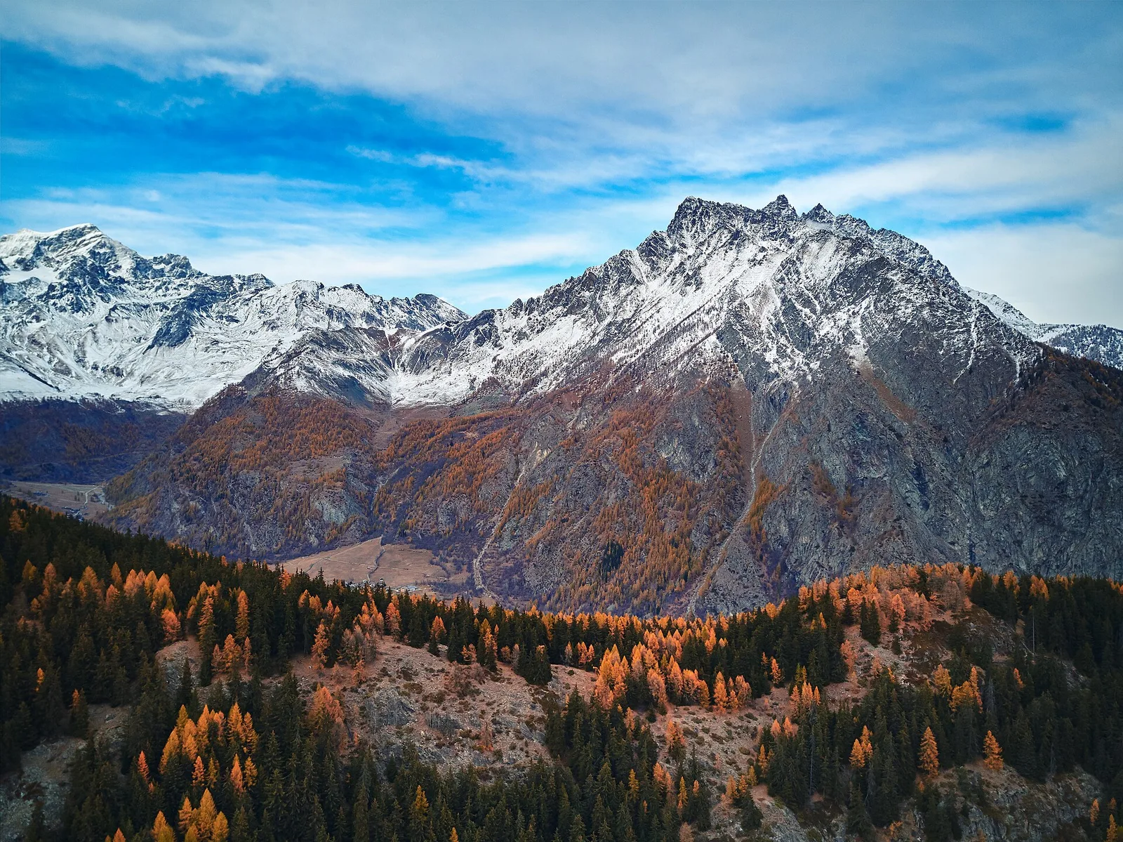
From Rifugio Prarayer (2002 m), the reference point of the upper Valpelline, the trail climbs the Valcorneraz valley to the Col di Valcorneraz (3086 m), an ancient transit pass between the Valpelline and the Valtournenche. At 5.8 km and 1127 m of elevation gain, the EE rating reflects a high-mountain environment where the terrain becomes steeper and more irregular approaching the pass. The route first crosses the glacial valley floor plateau, then enters the eastern comba with rock walls, moraines and increasingly demanding high-altitude pastures. The pass, at nearly 3100 m, offers open views across the Italian and Swiss flanks. Season: July–September.
Getting there
Parking
Refuges & bivouacs
Photo gallery
Photos are published immediately. JPG/PNG/WebP, max 6 MB.
Flora along the trail
Wildlife to spot
ACurated and verified by Andrea Rama
Data source: Catasto Sentieri Regione Autonoma VdA · Open data — DGR 899/2014
Last verified:
Valpelline
Related trails
Same valley or similar routes — more hikes to explore.
Valpelline
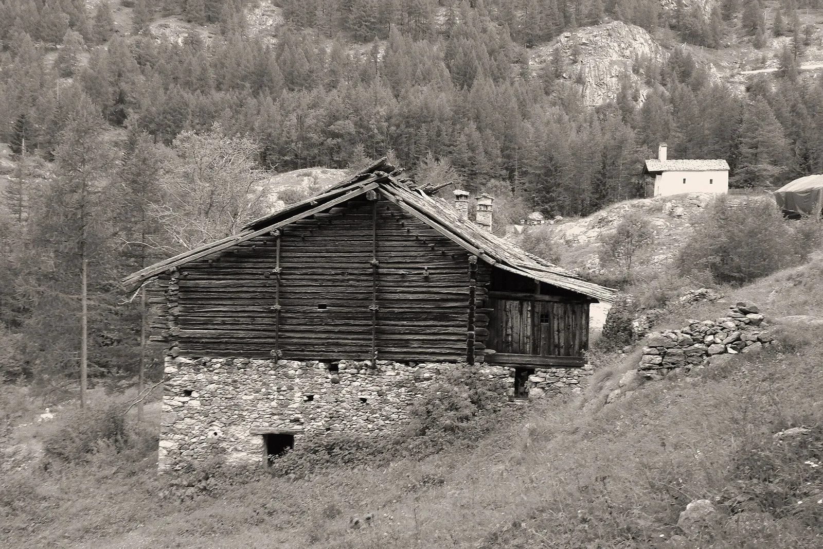
Bionaz (Plan Praz) - Place Moulin
Upper Valpelline, Bionaz: an E-rated route toward a glacial objective over open terrain.
Valpelline
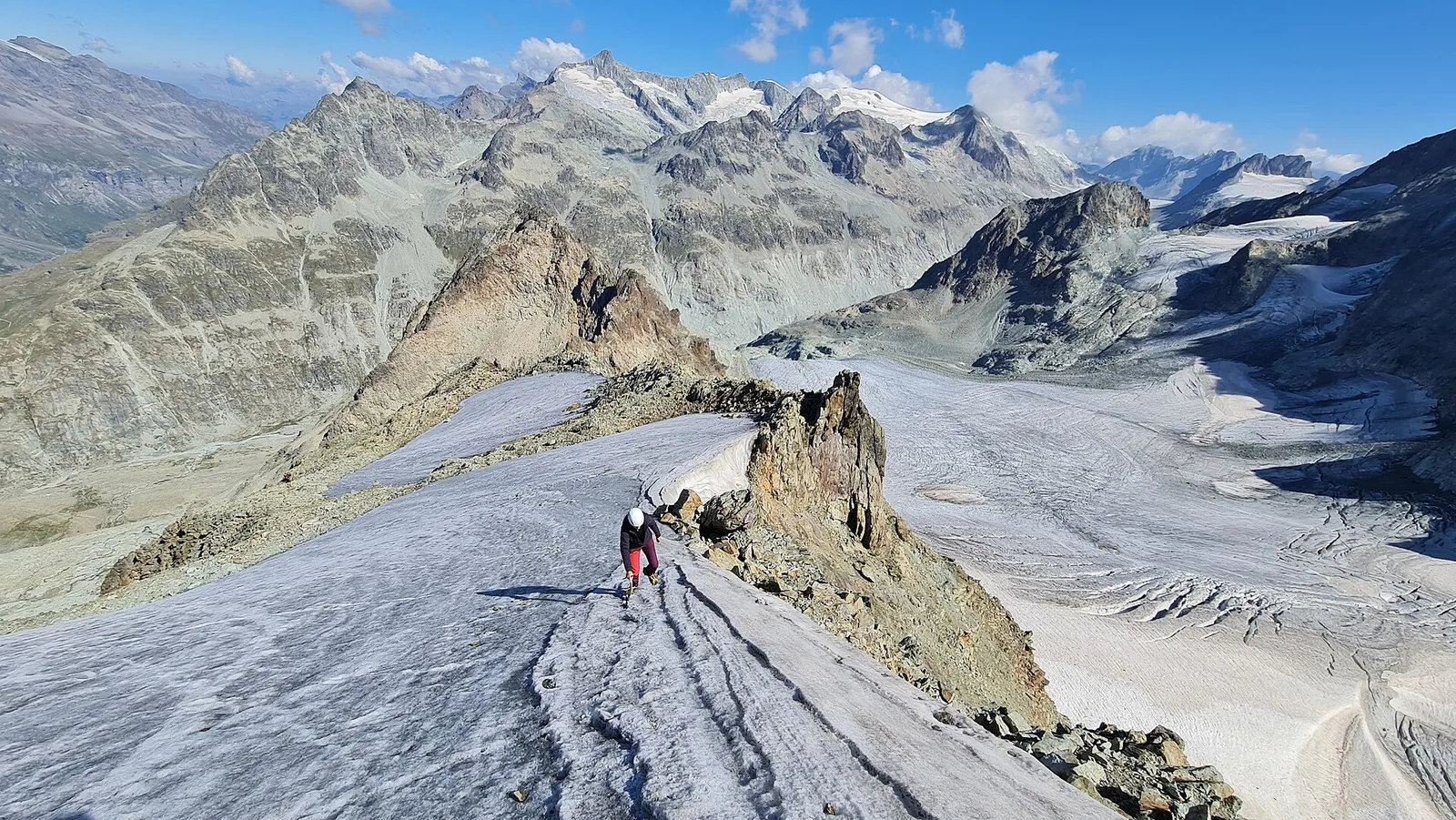
Chamin - Bivacco della Sassa
From Chamin (1,732 m) to the Bivacco della Sassa (2,964 m) in the quiet Valpelline: 7.1 km and 1,246 m of ascent.
Valpelline
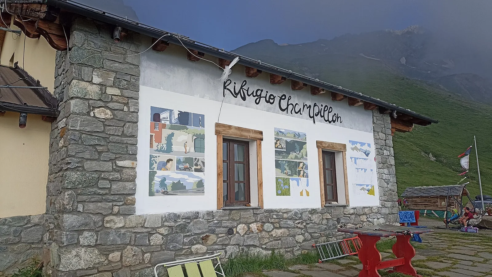
Champillon - Rifugio Letey - Col Champillon
3.1 km · +643 m · E — from Champillon to Col Champillon (Valtournenche).
Valpelline
Chanté - Mont Saron
From Allein toward Valpelline across the panoramic ridge between the two valleys: an E-rated route over open pastures with views of the Gran San Bernardo.