Saint-Jacques - Mont Roisetta
Warnings
- EE route: high-mountain experience, route-finding ability and stable weather are required.
- Residual snow and ice possible until July in the upper section.
Map & route
GPX track — verify on the ground before hiking
Fitness level
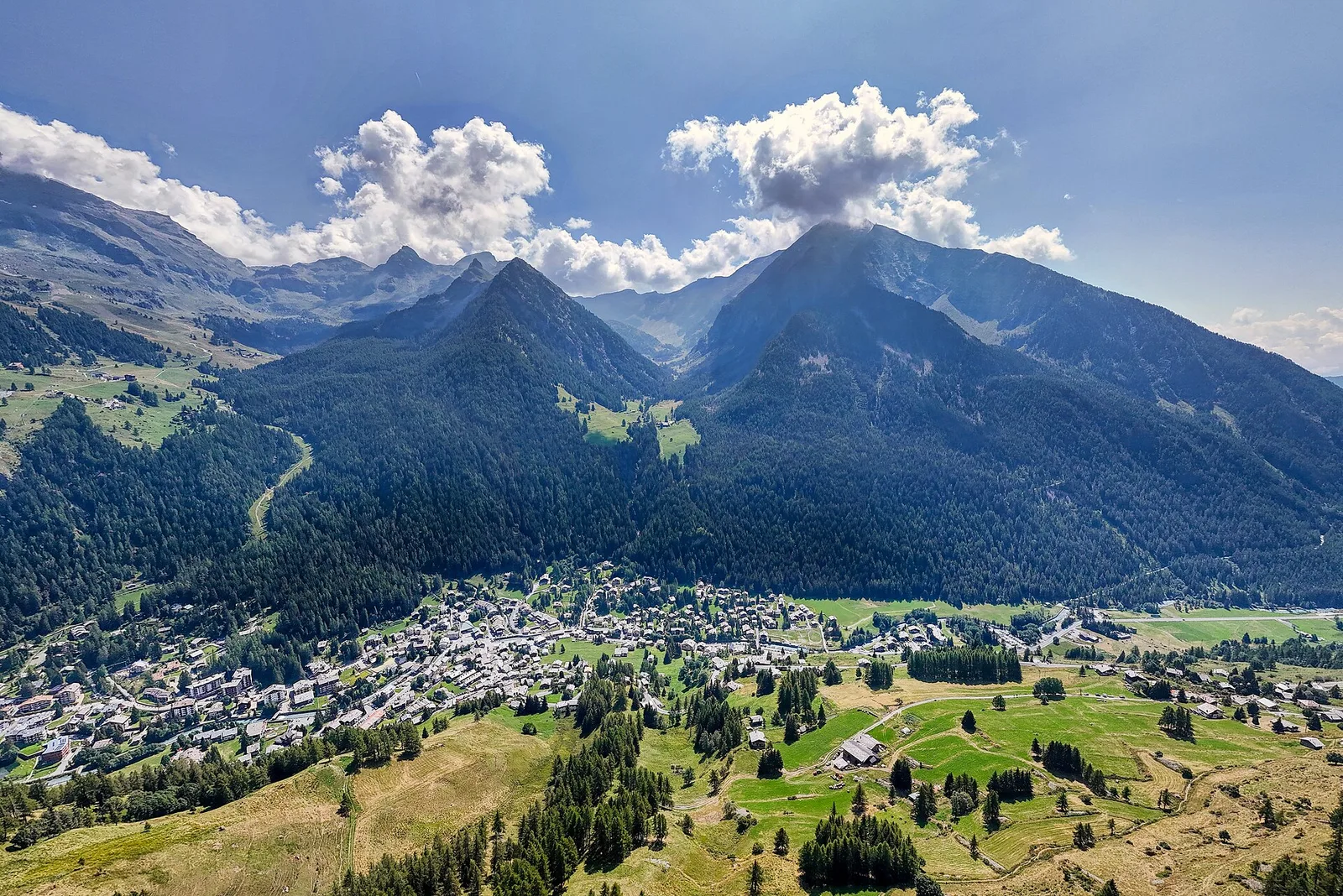
The ascent from Saint-Jacques to Mont Roisetta is one of the most demanding itineraries in the Val d'Ayas, gaining 1579 m to reach 3269 m. The walk starts from Saint-Jacques (1700 m), a hamlet of Ayas. The route climbs steadily through alpine pastures, crosses scree and boulder terrain and gains height at a consistent gradient before steepening in the upper section. The environment shifts with altitude: from green lowland meadow to the broad stony and rocky belts of high mountain, with the panorama progressively opening toward the Monte Rosa massif. The EE rating is justified by the elevation, route length and demanding terrain. Recommended from July to September.
Getting there
Parking
Photo gallery
Photos are published immediately. JPG/PNG/WebP, max 6 MB.
Flora along the trail
Wildlife to spot
ACurated and verified by Andrea Rama
Data source: Catasto Sentieri Regione Autonoma VdA · Open data — DGR 899/2014
Last verified:
Val d'Ayas
Related trails
Same valley or similar routes — more hikes to explore.
Val d'Ayas
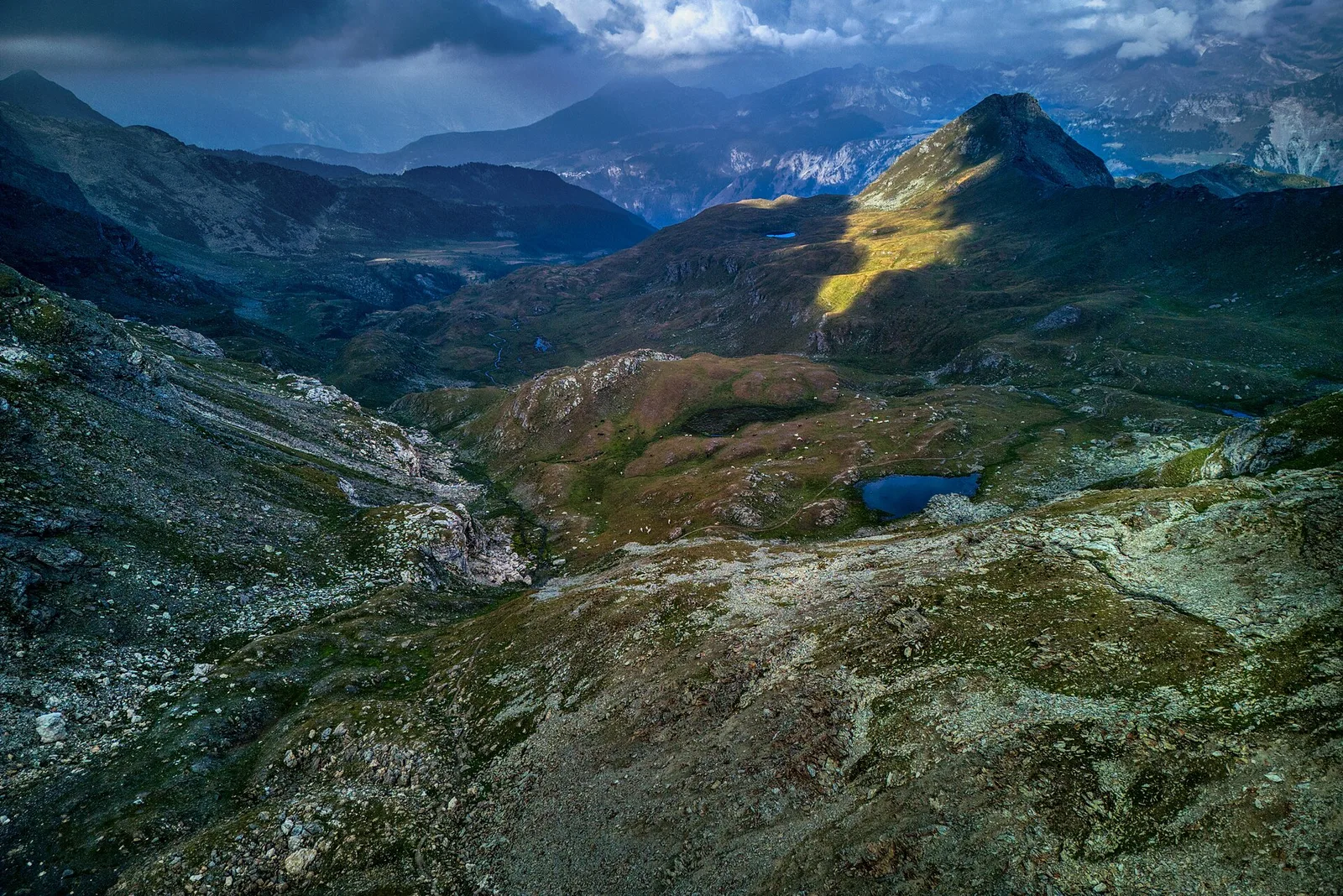
Amponey - Becca Trecare
A demanding EE ascent from Amponey to Becca Trecare at 3032m — nearly 1500m of gain on varied terrain with sweeping summit views.
Val d'Ayas
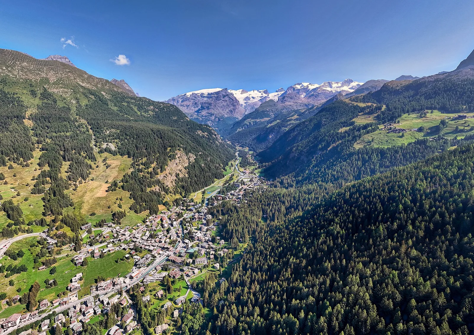
Amponey - Alpe Mascognaz
1.8 km · +309 m · E — from Amponey to Alpe Mascognaz (Central Valley).
Val d'Ayas
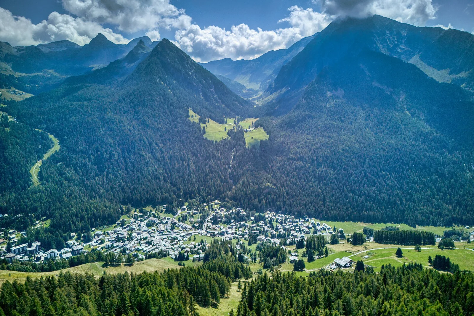
Amponey - Bec de Nannaz
In the Val d'Ayas, Ayas: an E-rated climb toward a high-altitude objective through pastures and rock with views of Monte Rosa.
Val d'Ayas
Amponey - Mont Facebelle
In the Val d'Ayas, Ayas: an E/EE-rated climb toward a high-altitude objective in the alpine landscape.