Chamois- Cleyva Bella - Col de Nannaz
Warnings
- 982 m of ascent on high-altitude terrain: good fitness and proper equipment required.
- Chamois reachable only on foot or by cable car: check timetables for the return.
Map & route
GPX track — verify on the ground before hiking
Fitness level
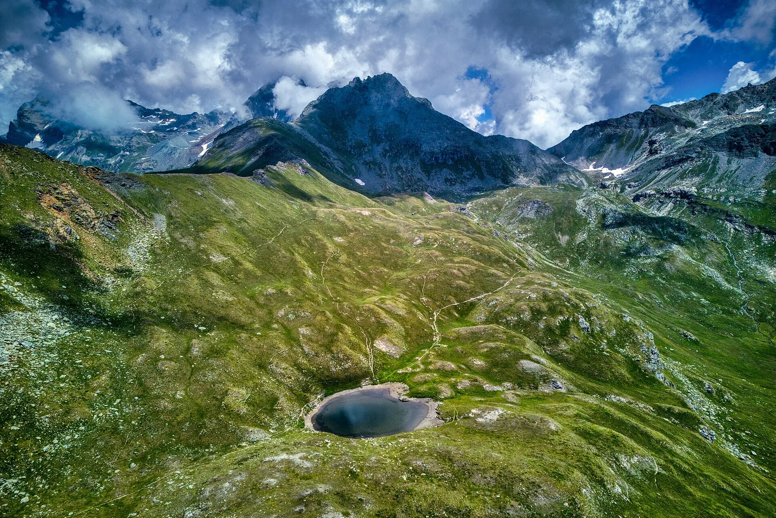
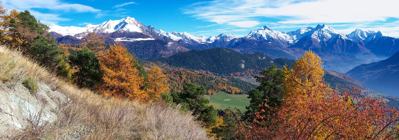
Starting from Chamois at 1812 m — a village accessible only on foot or by cable car — this 6.6 km route climbs 982 metres to the Col de Nannaz at 2772 m via the Cleyva Bella variant. The entire ascent avoids paved roads entirely, offering one of the most authentic wilderness experiences in the central Aosta Valley. High alpine pastures, sweeping views of the Monte Rosa massif and a remote, lonely pass reward experienced hikers willing to earn the altitude.
Getting there
Parking
Photo gallery
Photos are published immediately. JPG/PNG/WebP, max 6 MB.
Flora along the trail
Wildlife to spot
ACurated and verified by Andrea Rama
Data source: Catasto Sentieri Regione Autonoma VdA · Open data — DGR 899/2014
Last verified:
Valtournenche
Related trails
Same valley or similar routes — more hikes to explore.
Valtournenche
Anello Area sportiva-Fiernaz-Area sportiva
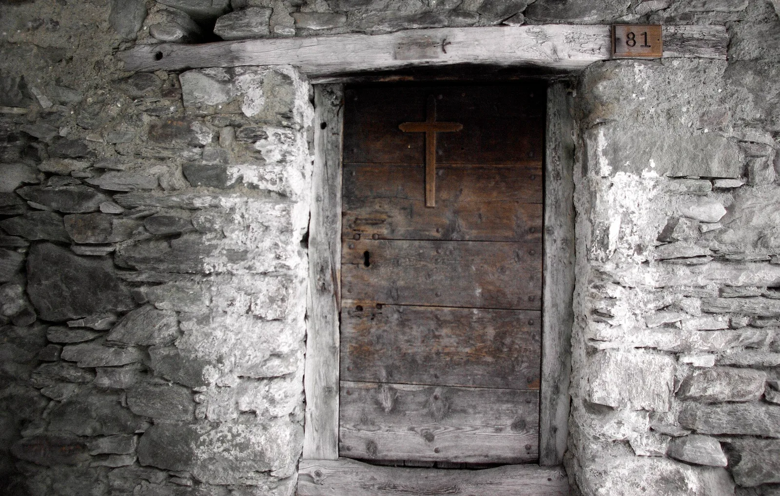
2.9 km · +28 m · T — from Area sportiva to Area sportiva (Valtournenche).
Valtournenche
Anello dei Villaggi di Antey ( Ruvère, Liesse,Fontaney, Villettaz)
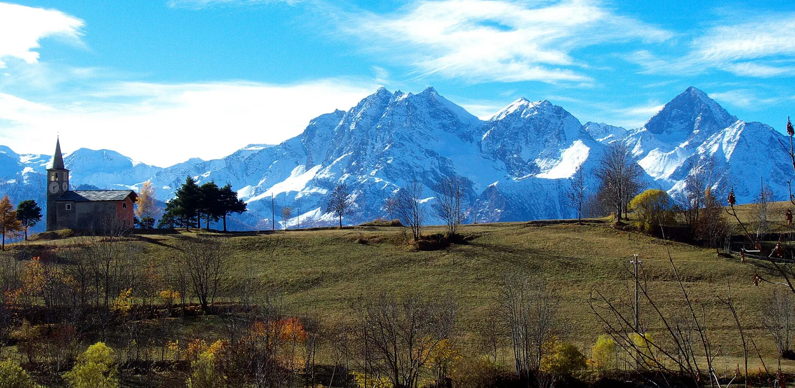
A loop through the sunlit hamlets of Antey and Torgnon: traditional Aosta Valley architecture, vineyards and mid-mountain forest, 5.2 km from Ruvère.
Valtournenche
Anello di Champlève
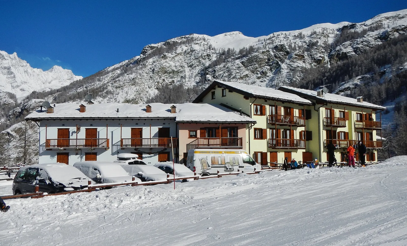
1.9 km · +140 m · E — from Champlève to Champlève (Central Valley).
Valtournenche
Area Pic Nic Champlong - Becca d'Aver e Cima Longhede
6.4 km · +913 m · E — from Area Pic Nic Champlong to Cima Longhede (Valsavarenche).