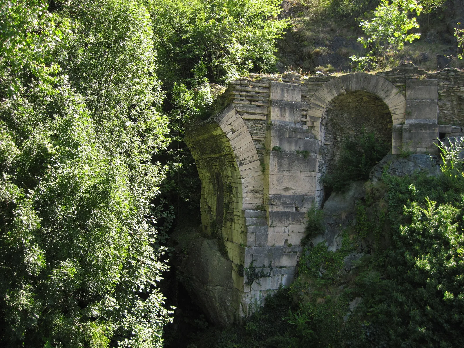
Ponte delle Capre - Ussel
2.1 km
+157 m
−0 m
1 h
Fitness level
Elevation profile
Map & route
Download GPXGPX track — verify on the ground before hiking
Description
Ponte delle Capre - Ussel is an official trail from the Aosta Valley trail registry (code 20_S8). The route lies in the municipality of Courmayeur, in the Valdigne. From Ponte delle Capre (427 m) to Ussel (593 m): 2.1 km with +157 m of elevation change, difficulty E (CAI scale). Minimum elevation 427 m, maximum 593 m. Recommended season per registry: giugno, luglio, agosto, settembre, ottobre (months 6, 7, 8, 9). Waymarking: 8 segnavia recorded in the registry. GPX track and elevation data from Regione Autonoma Valle d'Aosta (open data DGR 899/2014).
Start & end
Start
Ponte delle Capre
427 m
Finish
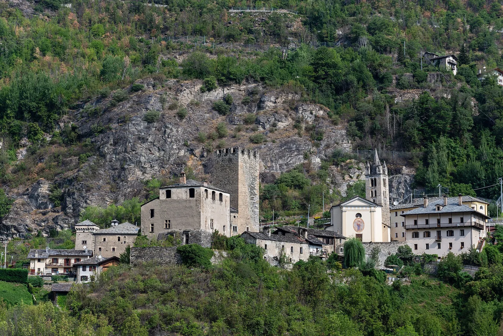
Ussel
593 m
ACurated and verified by Andrea
Data source: Catasto Sentieri Regione Autonoma VdA · Open data — DGR 899/2014
Last verified:
Valdigne
Related trails
Same valley or similar routes — more hikes to explore.
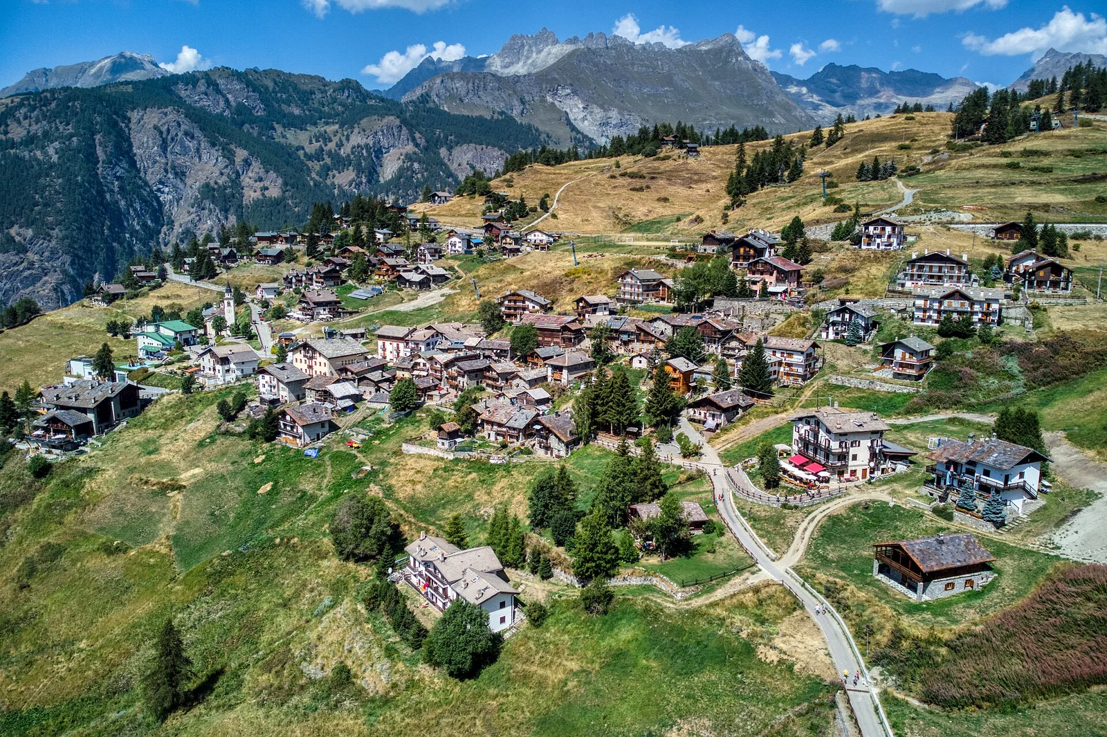
Valdigne
Artaz - Col Pillonnet
6.3 km · +912 m · E — from Artaz to Col Pilonnet (Valdigne).
Valdigne
Artaz - Mont Tantané
4.7 km · +1021 m · EE — from Artaz to Mont Tantané (Valdigne).
Valdigne
Artaz - Mont Zerbion
6.7 km · +997 m · E — from Artaz to Mont Zerbion (Valdigne).
Valdigne
Avise - Charbonnière
2.6 km · +491 m · E — from Avise to Charbonnière (Valdigne).