Gressoney-la-Trinité - Colle Bettaforca
Map & route
GPX track — verify on the ground before hiking
Fitness level
One of the classic Gressoney hikes: from the basin of Gressoney-La-Trinité you climb at a steady gradient towards the Colle della Bettaforca (2,672 m), a grassy pass linking the Lys valley with the Ayas valley. The trail crosses the high alps of Ciaval and Bettlatz, still grazed in summer, while behind you the view widens over the Lys glaciers and the Lyskamm wall. From the pass, overlooked by the Monterosa Ski lifts, the eye ranges over Castor and the four-thousanders: it is the busiest pass on the Monte Rosa hiking circuit and a crossroads of shepherds for centuries.
Earth sciences
Geology & landscape
Geologically this is the heart of the Monte Rosa nappe: gneisses and granites of European continental crust, wrapped in the greenstones (serpentinites and prasinites) of the ancient Alpine ocean, today shaped by the Lys glaciers.
History & culture
The valley is home to the Walser, Alemannic settlers who came down from Valais in the 13th century over the glacier passes of Monte Rosa: in Gressoney the Töitschu language, the timber-and-stone houses (stadel) and the German place names that dot the mountain still survive.
Getting there
Parking
Photo gallery
Photos are published immediately. JPG/PNG/WebP, max 6 MB.
Flora along the trail
Wildlife to spot
ACurated and verified by Andrea Rama
Data source: Catasto Sentieri Regione Autonoma VdA · Open data — DGR 899/2014
Last verified:
Valle del Lys
Related trails
Same valley or similar routes — more hikes to explore.
Valle del Lys
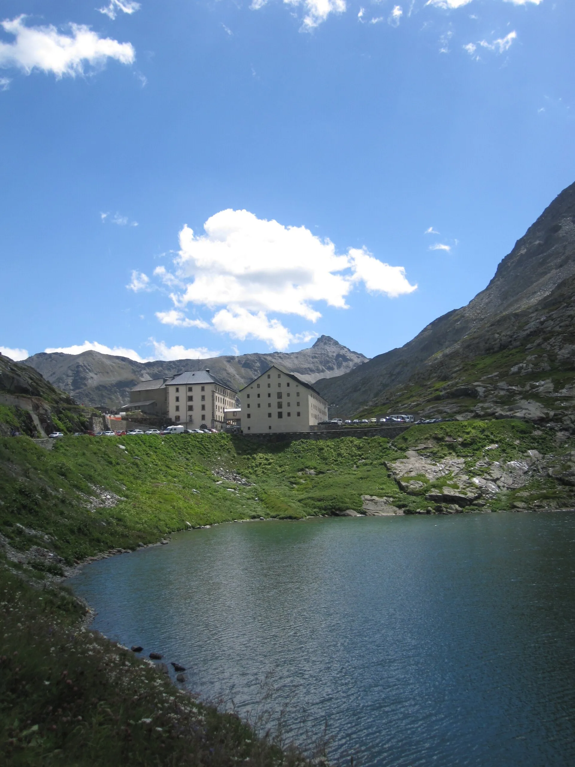
Anello dei Gemelli della Mologna
8.9 km · +996 m · EEA — from Niel to Niel (Great St Bernard Valley).
Valle del Lys
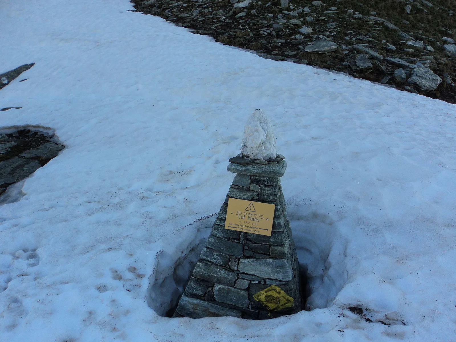
Balmeto - Leck Albezò
1.2 km · +287 m · E — from Balmeto to Leck Albezò (Champorcher Valley).
Valle del Lys
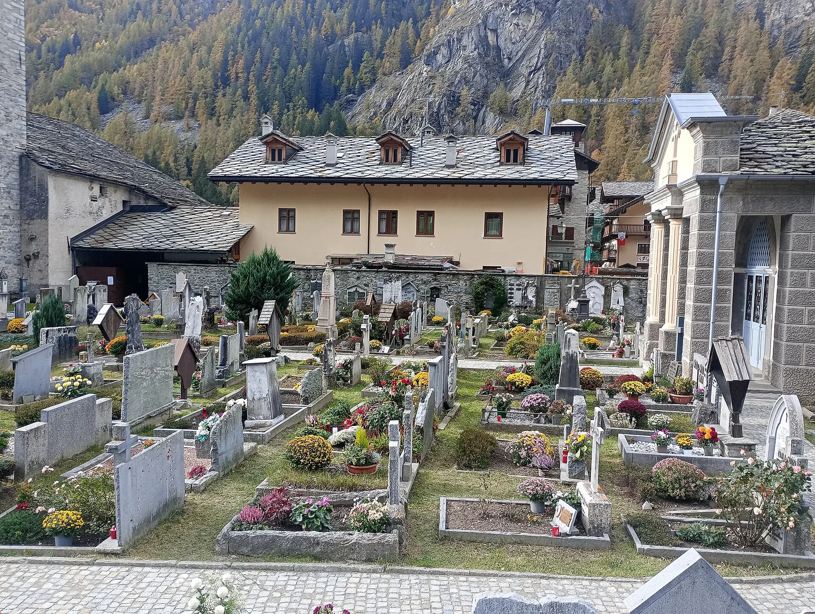
Bino - Passo di Valnera
4.5 km · +1280 m · E — from Bino to Alpe Jatza (Champorcher Valley).
Valle del Lys
Cascate di Niel
0.6 km · +80 m · E — from Start 7B to Cascate di Niel (Great St Bernard Valley).