Staffal - Alta Luce (Hochliecht)
Map & route
GPX track — verify on the ground before hiking
Fitness level
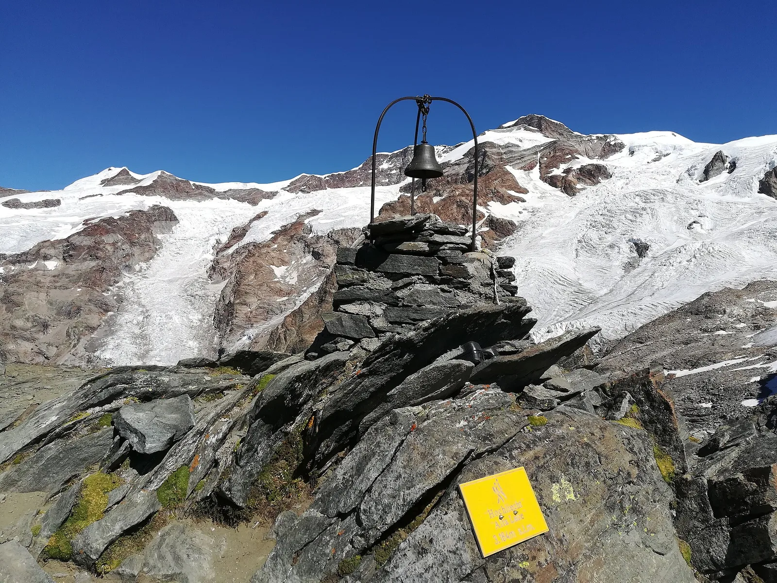
From Staffal you climb the Alta Luce (Hochliecht, 3,185 m), a belvedere summit between the Lys valley and Valsesia, on a long but well-trodden high-altitude route. The ascent crosses pastures, scree and old Walser paths, with the view widening progressively over the Lys glaciers and the whole head of the valley. The summit, once a lookout and now an outstanding hiking goal, offers one of the most complete views of the southern side of Monte Rosa.
Earth sciences
Geology & landscape
Geologically this is the heart of the Monte Rosa nappe: gneisses and granites of European continental crust, wrapped in the greenstones (serpentinites and prasinites) of the ancient Alpine ocean, today shaped by the Lys glaciers.
History & culture
The valley is home to the Walser, Alemannic settlers who came down from Valais in the 13th century over the glacier passes of Monte Rosa: in Gressoney the Töitschu language, the timber-and-stone houses (stadel) and the German place names that dot the mountain still survive.
Getting there
Parking
Photo gallery
Photos are published immediately. JPG/PNG/WebP, max 6 MB.
Flora along the trail
Wildlife to spot
ACurated and verified by Andrea Rama
Data source: Catasto Sentieri Regione Autonoma VdA · Open data — DGR 899/2014
Last verified:
Valle del Lys
Related trails
Same valley or similar routes — more hikes to explore.
Valle del Lys
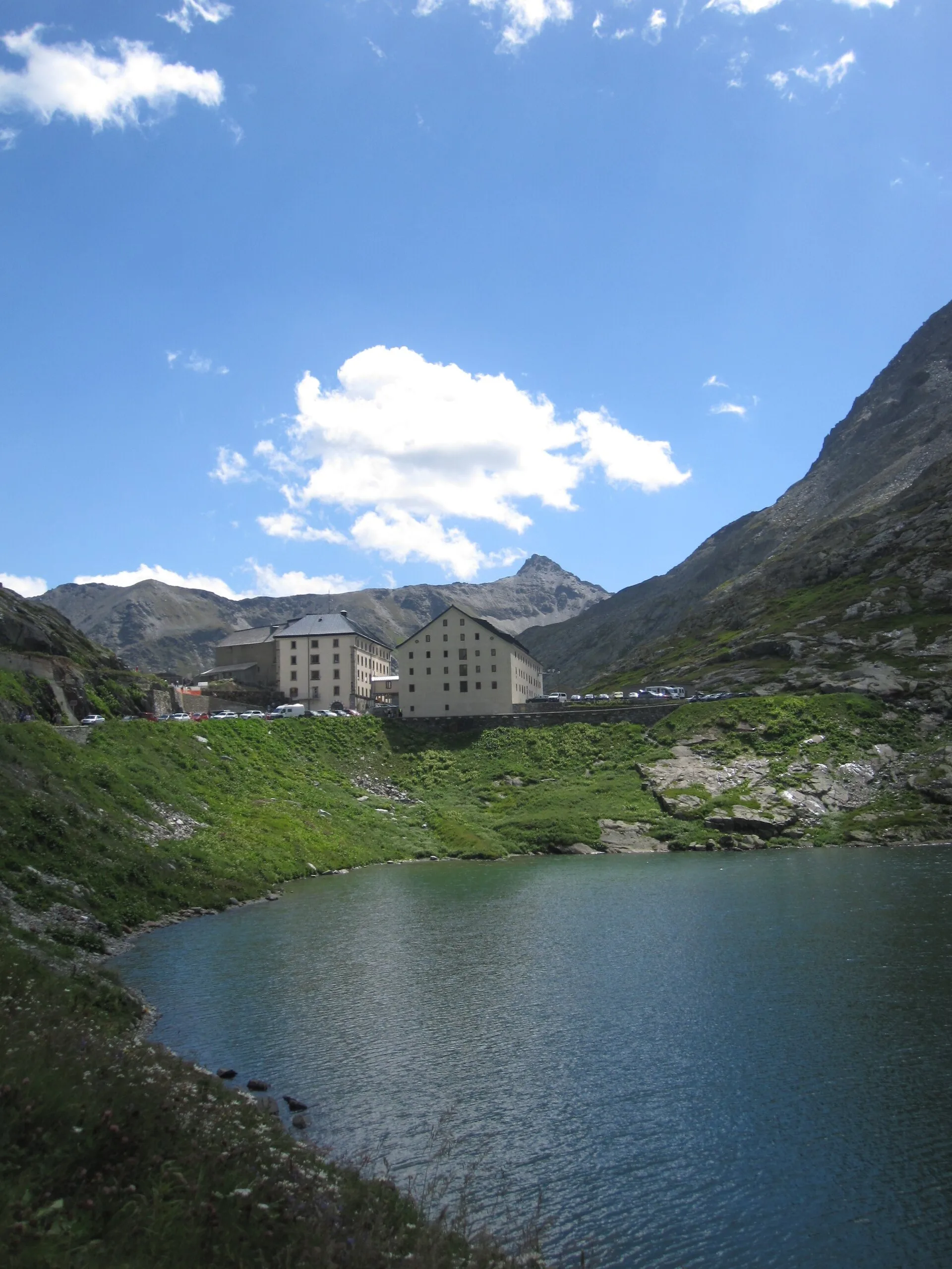
Anello dei Gemelli della Mologna
8.9 km · +996 m · EEA — from Niel to Niel (Great St Bernard Valley).
Valle del Lys
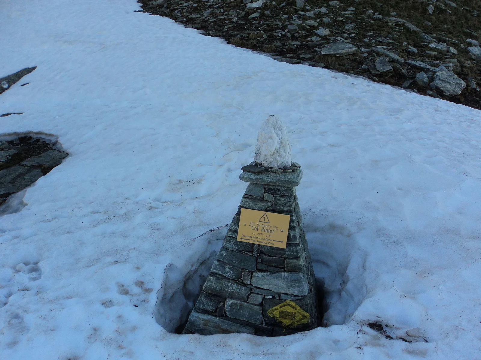
Balmeto - Leck Albezò
1.2 km · +287 m · E — from Balmeto to Leck Albezò (Champorcher Valley).
Valle del Lys
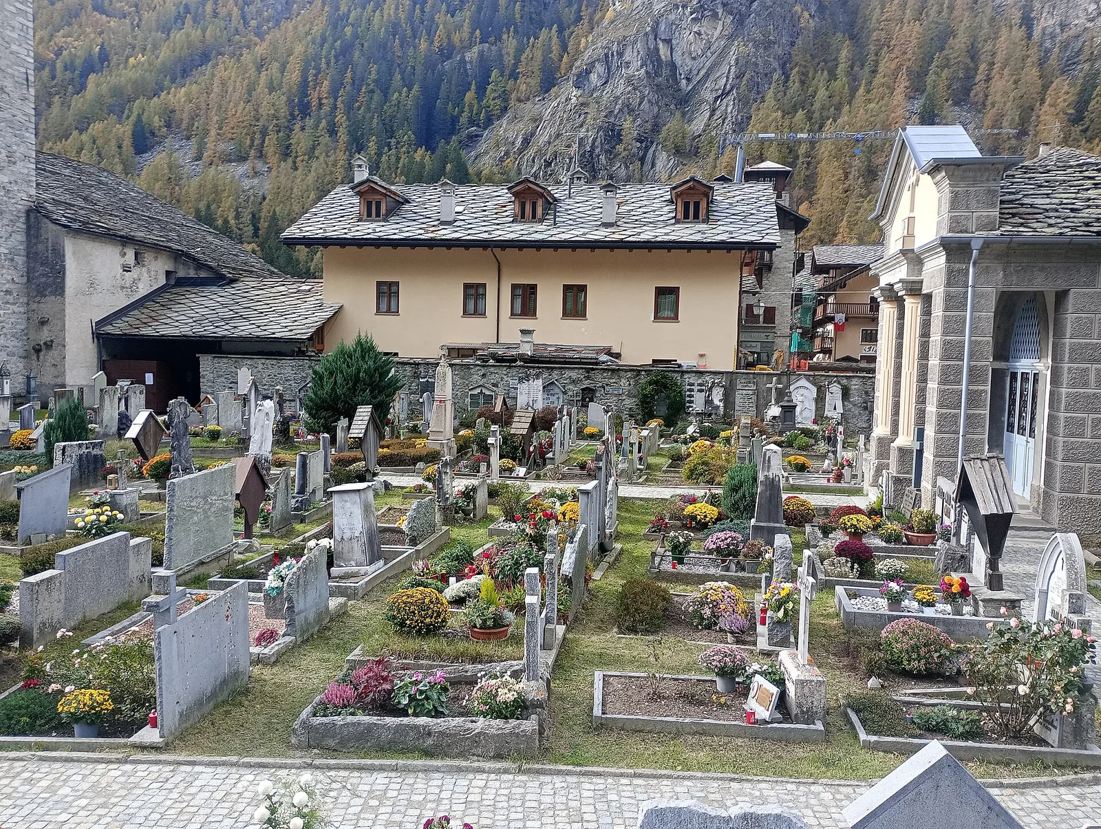
Bino - Passo di Valnera
4.5 km · +1280 m · E — from Bino to Alpe Jatza (Champorcher Valley).
Valle del Lys
Cascate di Niel
0.6 km · +80 m · E — from Start 7B to Cascate di Niel (Great St Bernard Valley).