Promoud
5.4 km
+881 m
−0 m
3.5 h
Fitness level
Elevation profile
Map & route
Download GPXGPX track — verify on the ground before hiking
Description
Promoud is an official trail from the Aosta Valley trail registry (code 40_S42). The route lies in the municipality of La Thuile, in the La Thuile. From Chabodey (1170 m) to Promoud (2017 m): 5.4 km with +881 m of elevation change, difficulty E (CAI scale). Minimum elevation 1170 m, maximum 2017 m. Recommended season per registry: Giugno , luglio , agosto , settembre (months 6, 7, 8, 9). GPX track and elevation data from Regione Autonoma Valle d'Aosta (open data DGR 899/2014).
Start & end
Start
Chabodey
1170 m
Finish
Promoud
2017 m
Refuges & bivouacs
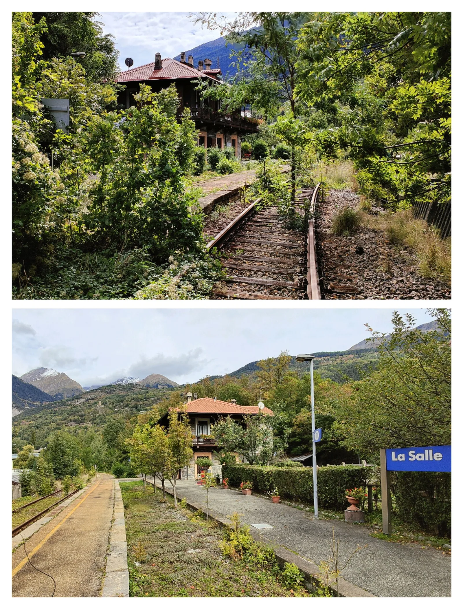
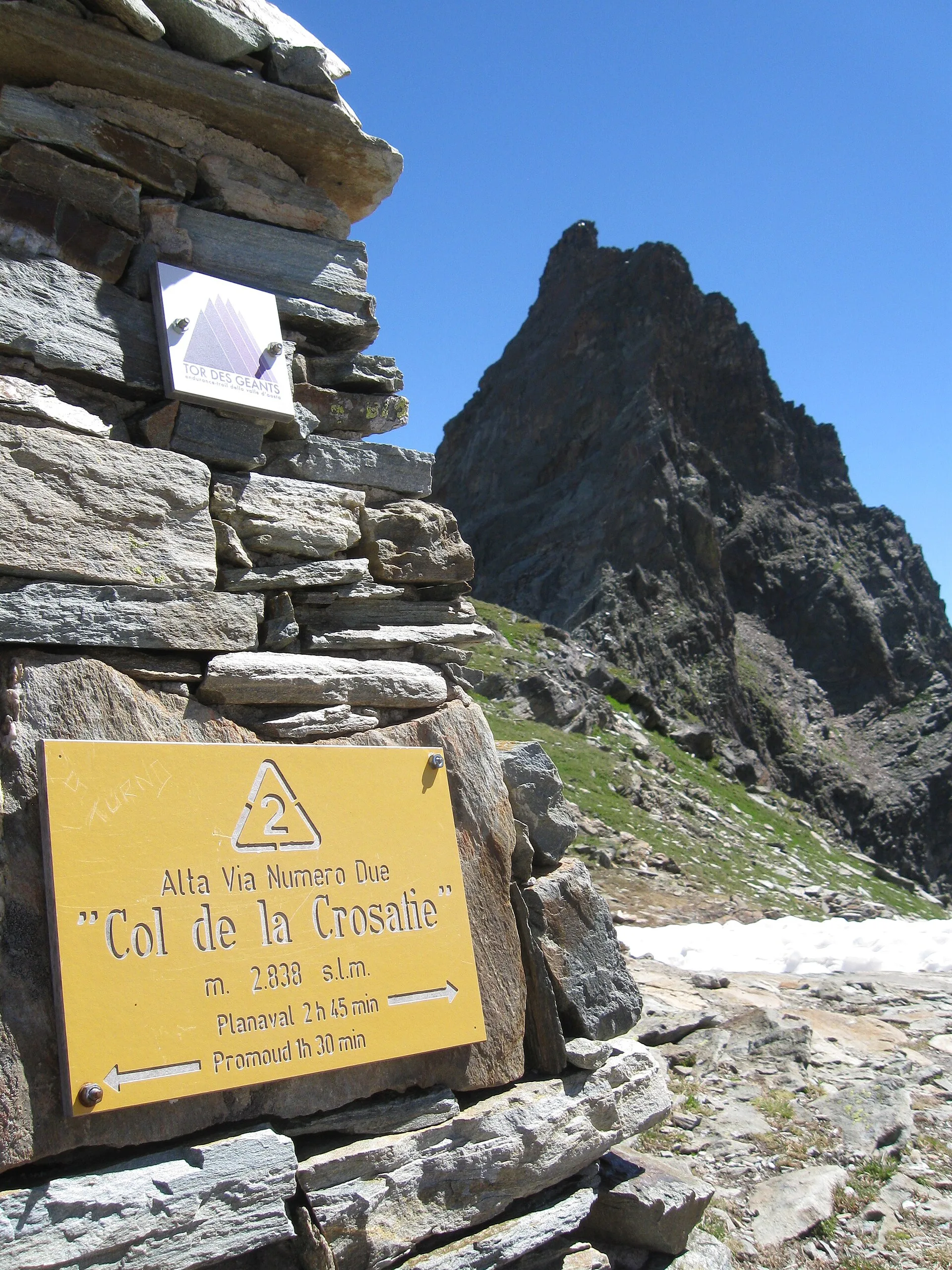
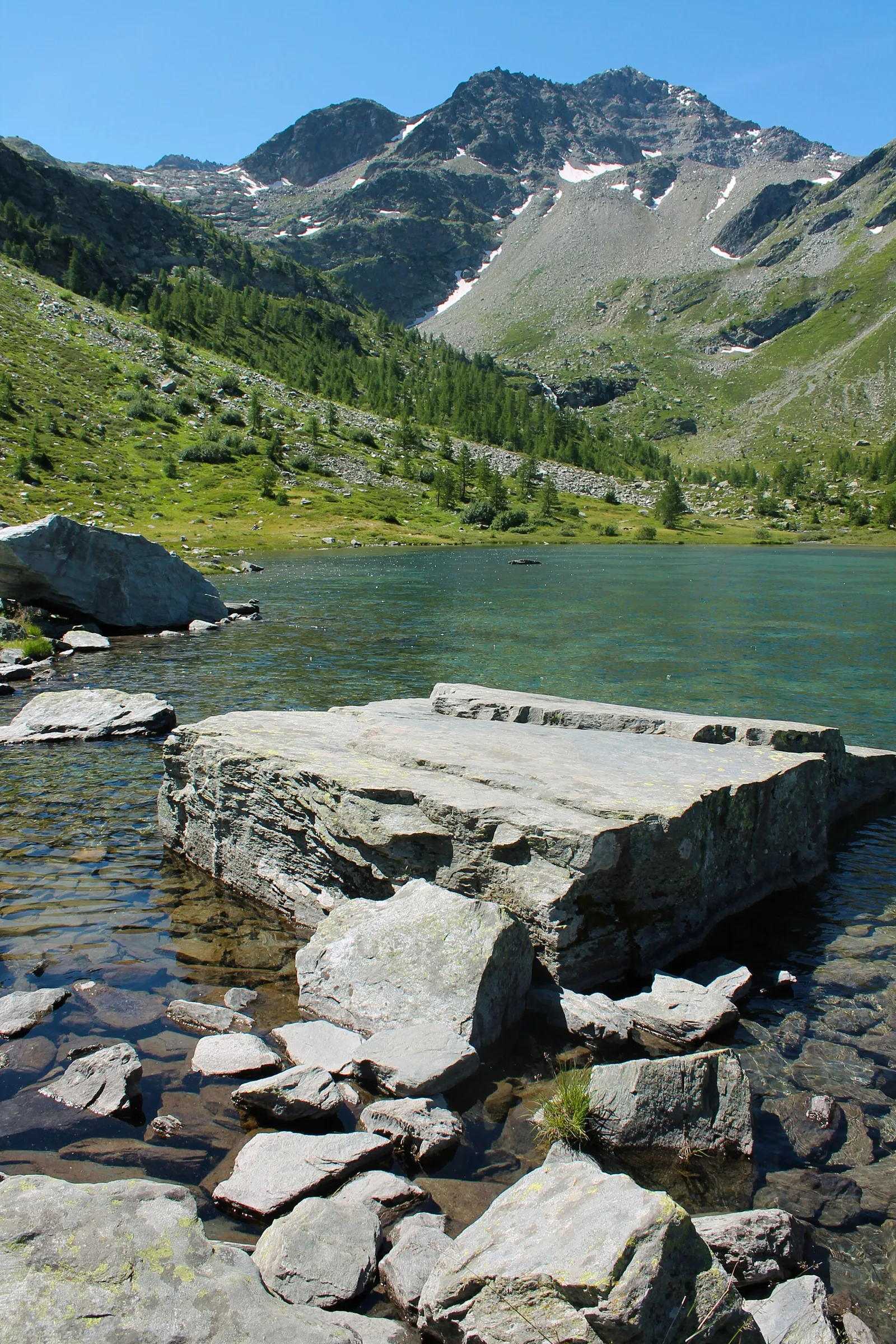
Photo gallery
ACurated and verified by Andrea
Data source: Catasto Sentieri Regione Autonoma VdA · Open data — DGR 899/2014
Last verified:
La Thuile
Related trails
Same valley or similar routes — more hikes to explore.
La Thuile
Chabodey - Croix du Folliet
6.3 km · +1313 m · E — from Chabodey to Croix du Folliet (La Thuile).
La Thuile
Chabodey - Passo Alto (Haut-Pas)
9.9 km · +1873 m · E — from Chabodey to Passo Alto (Haut-Pas) (La Thuile).
La Thuile
Chabodey - Plan Belon
0.6 km · +165 m · E — from Chabodey to Plan Belon (La Thuile).

La Thuile
Challancin - Col de Bard
4.5 km · +571 m · E — from Challancin to Col de Bard (La Thuile).