Ru du Mont: da Vaud a Chatelair (Doues)
Map & route
GPX track — verify on the ground before hiking
Fitness level
Ru du Mont: da Vaud a Chatelair (Doues) is an official trail from the Aosta Valley trail registry (code 46_S17). The route lies in the municipality of Oyace, in the Valpelline. From Vaud (1470 m) to Châtelair (1464 m): 4.9 km with +0 m and −72 m of elevation change, difficulty E (CAI scale). Minimum elevation 1464 m, maximum 1470 m. Recommended season per registry: Giugno-settembre (months 6, 7, 8, 9). Waymarking: 1 segnavia recorded in the registry. GPX track and elevation data from Regione Autonoma Valle d'Aosta (open data DGR 899/2014).
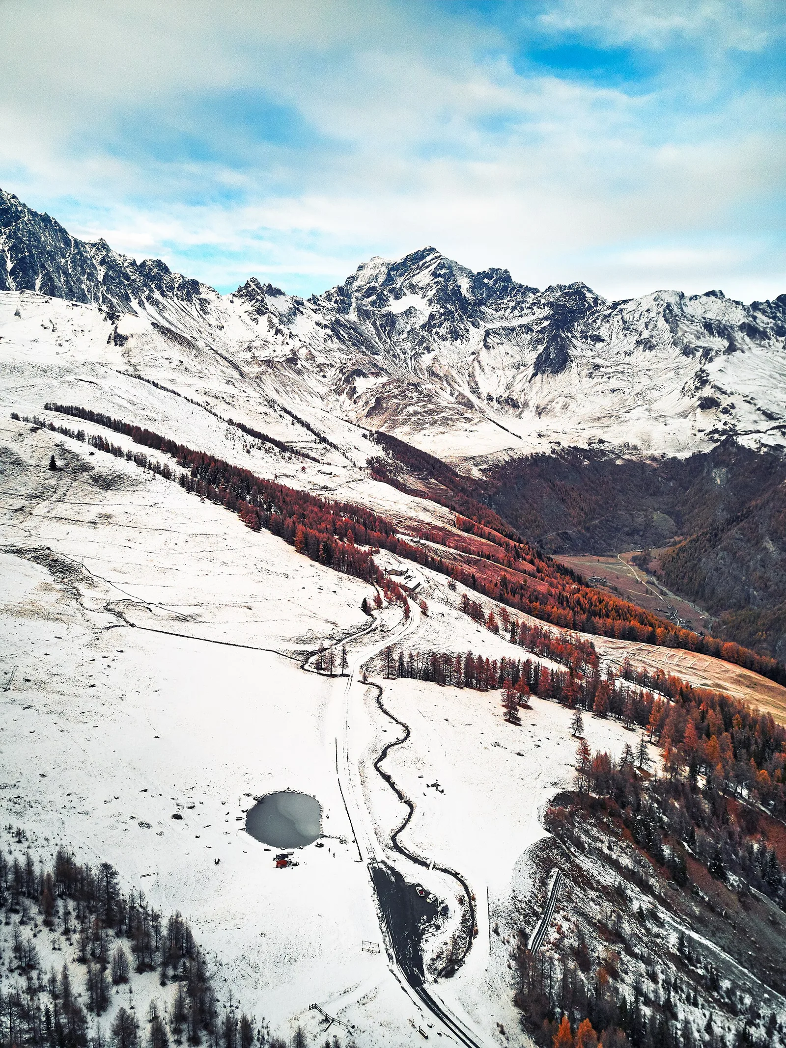
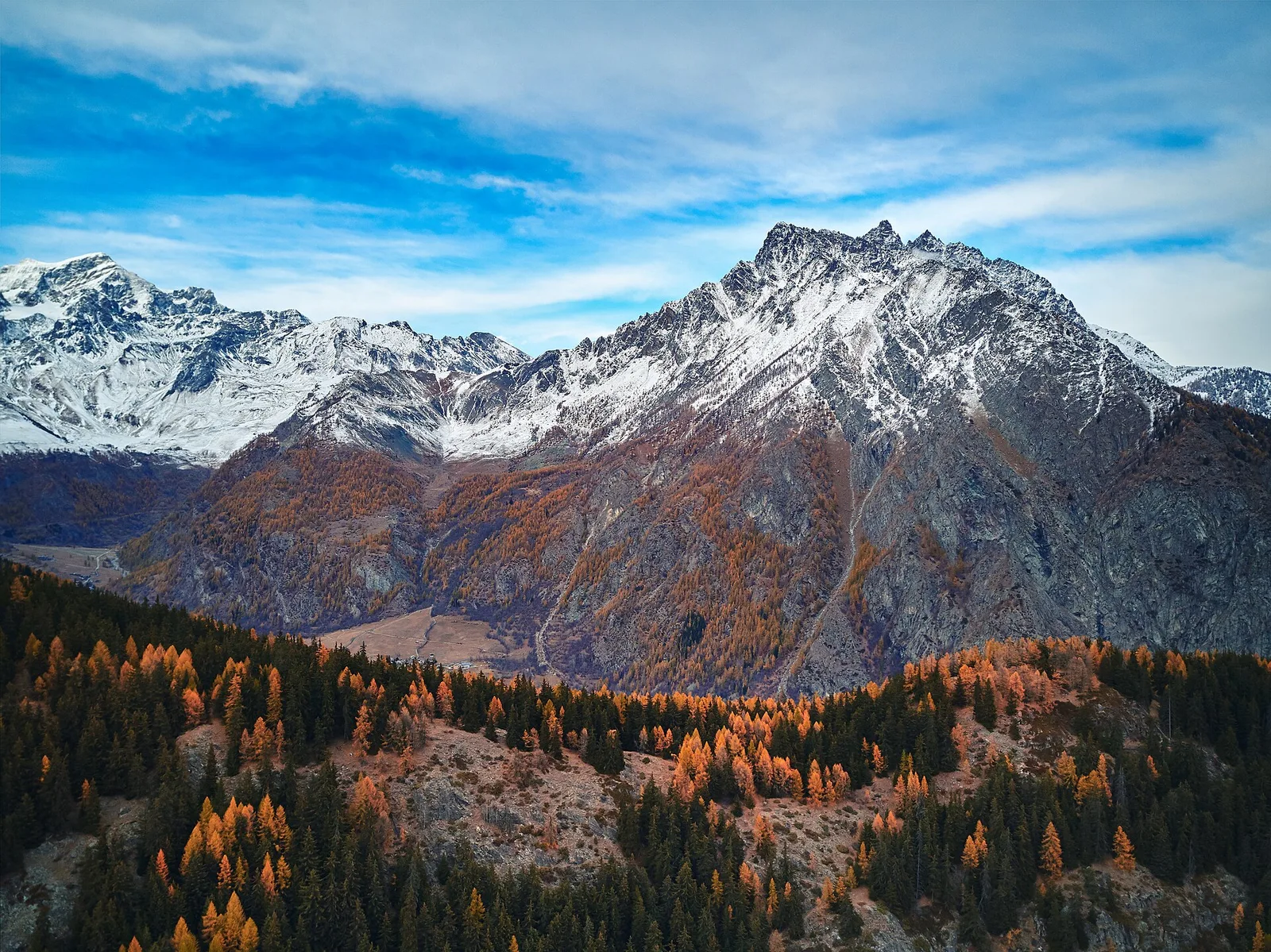
Along the way — you move in the wild valley dominated by the Dent d’Hérens and the Grandes Murailles, toward the Place Moulin reservoir. You walk among woods, rural villages and ancient rû, the valley’s historic irrigation channels. It calls for a fit hiker’s pace and proper footwear.
Getting there
Parking
Photo gallery
Photos are published immediately. JPG/PNG/WebP, max 6 MB.
Flora along the trail
ACurated and verified by Andrea Rama
Data source: Catasto Sentieri Regione Autonoma VdA · Open data — DGR 899/2014
Last verified:
Valpelline
Related trails
Same valley or similar routes — more hikes to explore.
Valpelline
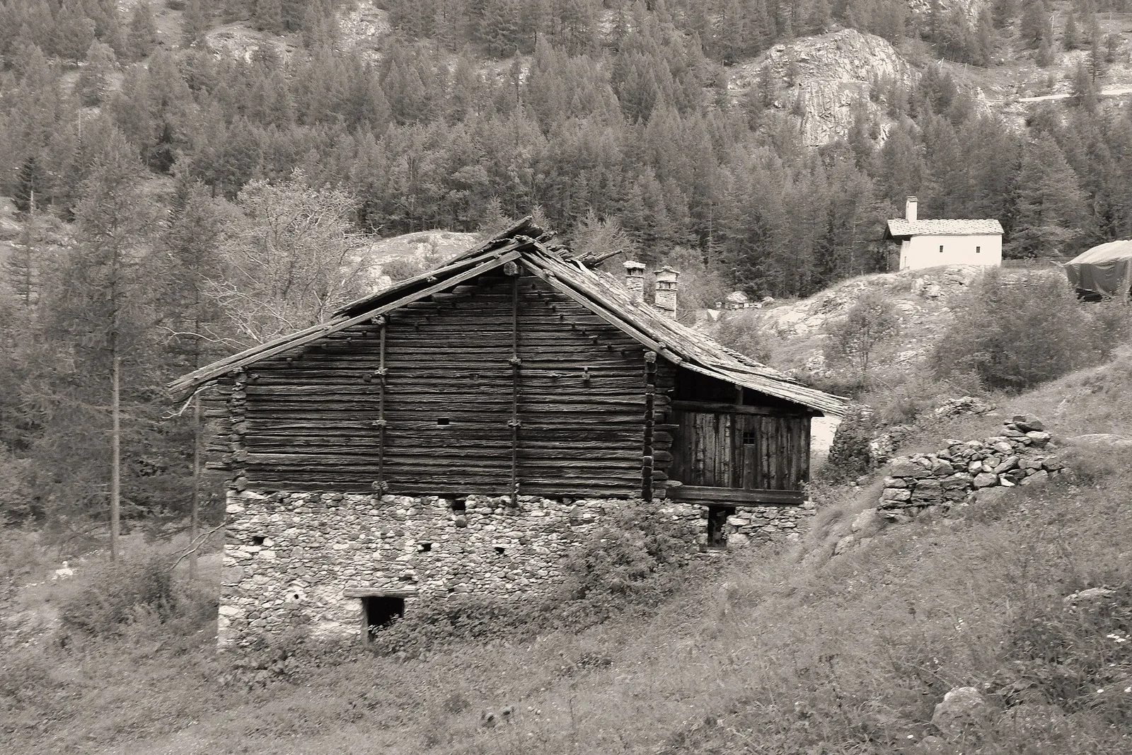
Bionaz (Plan Praz) - Place Moulin
Upper Valpelline, Bionaz: an E-rated route toward a glacial objective over open terrain.
Valpelline
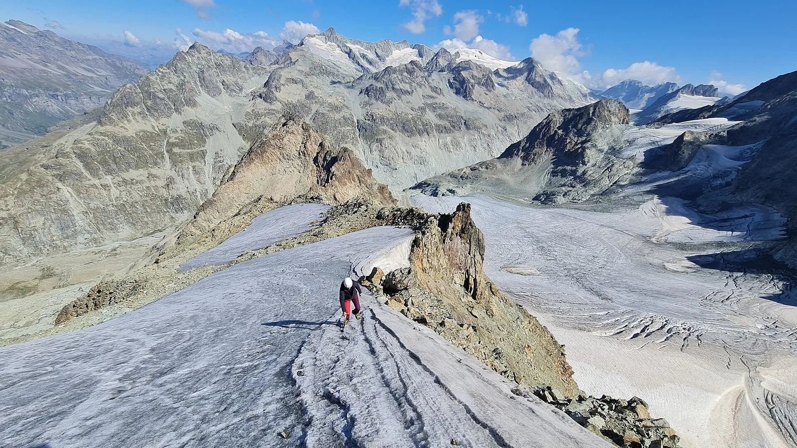
Chamin - Bivacco della Sassa
From Chamin (1,732 m) to the Bivacco della Sassa (2,964 m) in the quiet Valpelline: 7.1 km and 1,246 m of ascent.
Valpelline
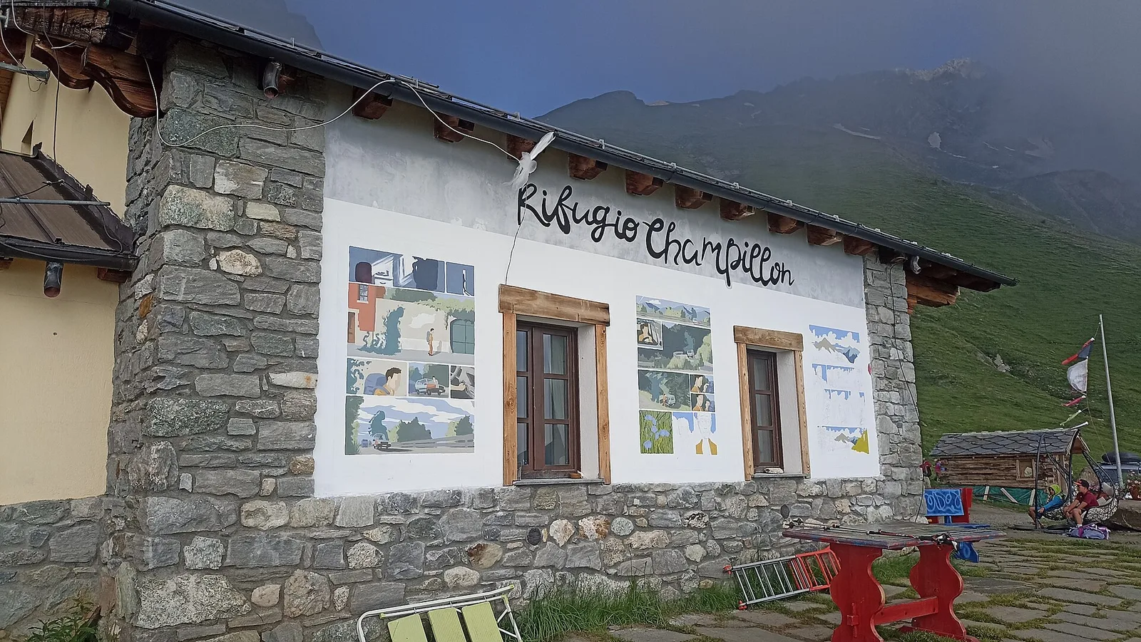
Champillon - Rifugio Letey - Col Champillon
3.1 km · +643 m · E — from Champillon to Col Champillon (Valtournenche).
Valpelline
Chanté - Mont Saron
From Allein toward Valpelline across the panoramic ridge between the two valleys: an E-rated route over open pastures with views of the Gran San Bernardo.