Saint-Oyen - La Comba - Saint-Oyen
1.8 km
+448 m
−0 m
1.5 h
Fitness level
Elevation profile
Map & route
Download GPXGPX track — verify on the ground before hiking
Description
Saint-Oyen - La Comba - Saint-Oyen is an official trail from the Aosta Valley trail registry (code 62_S6). The route lies in the municipality of Saint-Rhémy-en-Bosses, in the Great St Bernard Valley. From Saint-Oyen (1405 m) to Saint-Oyen (1433 m): 1.8 km with +448 m of elevation change, difficulty E (CAI scale). Minimum elevation 1405 m, maximum 1433 m. Recommended season per registry: Maggio-ottobre (months 5, 6, 7, 8, 9, 10). GPX track and elevation data from Regione Autonoma Valle d'Aosta (open data DGR 899/2014).
Start & end
Start
Saint-Oyen
1405 m
Finish
Saint-Oyen
1433 m
ACurated and verified by Andrea
Data source: Catasto Sentieri Regione Autonoma VdA · Open data — DGR 899/2014
Last verified:
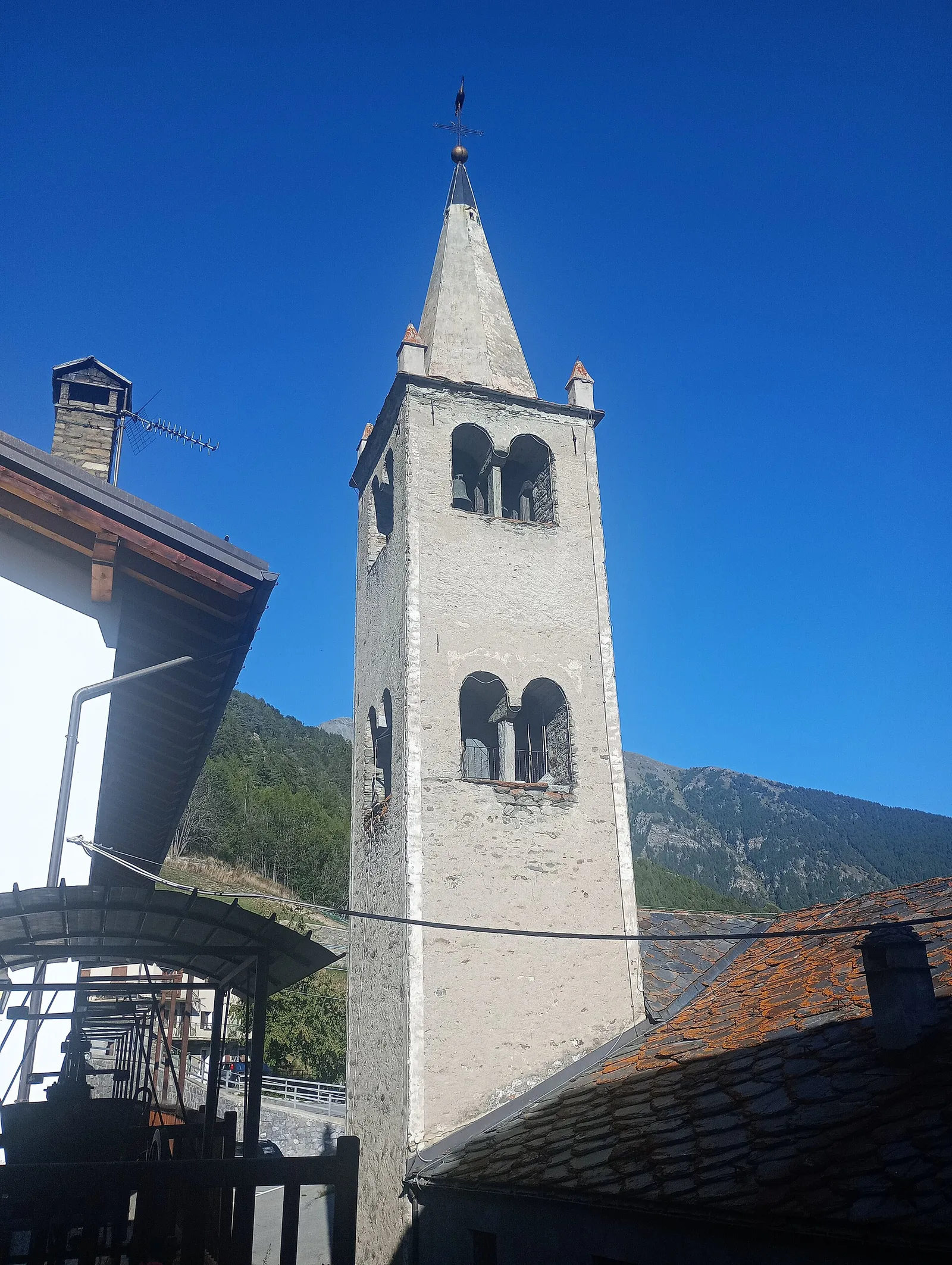
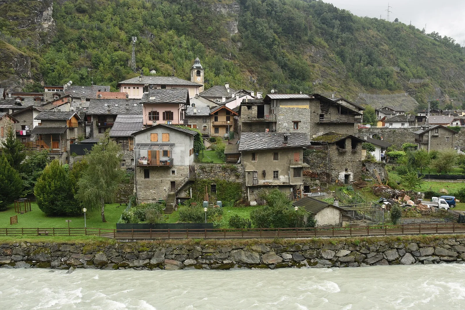
Valle del Gran San Bernardo
Related trails
Same valley or similar routes — more hikes to explore.
Valle del Gran San Bernardo
Allein - Mont Saron
7.5 km · +1434 m · E — from Chef-lieu to Mont Saron (Great St Bernard Valley).

Valle del Gran San Bernardo
Anello dei Gemelli della Mologna
8.9 km · +996 m · EEA — from Niel to Niel (Great St Bernard Valley).
Valle del Gran San Bernardo
Area pic-nic Plan Veny - Lac du Breuillat
3.6 km · +420 m · E — from Area pic-nic Plan Veny to Lac du Breuillat (Great St Bernard Valley).
Valle del Gran San Bernardo
Area pic-nic Plan Veny - Rifugio Monzino
3.4 km · +997 m · EEA — from Area pic-nic Plan Veny to Rifugio Monzino (Great St Bernard Valley).