Cort - Charrère
4.7 km
+821 m
−0 m
3 h
Fitness level
Elevation profile
Map & route
Download GPXGPX track — verify on the ground before hiking
Description
Cort - Charrère is an official trail from the Aosta Valley trail registry (code 72_S5). The route lies in the municipality of Valsavarenche, in the Valsavarenche. From Cort (527 m) to Charrère (1340 m): 4.7 km with +821 m of elevation change, difficulty E (CAI scale). Minimum elevation 527 m, maximum 1340 m. Recommended season per registry: giugno, luglio, agosto, settembre, ottobre (months 6, 7, 8, 9). Waymarking: 5 segnavia recorded in the registry. GPX track and elevation data from Regione Autonoma Valle d'Aosta (open data DGR 899/2014).
Start & end
Start
Cort
527 m
Finish
Charrère
1340 m
ACurated and verified by Andrea
Data source: Catasto Sentieri Regione Autonoma VdA · Open data — DGR 899/2014
Last verified:
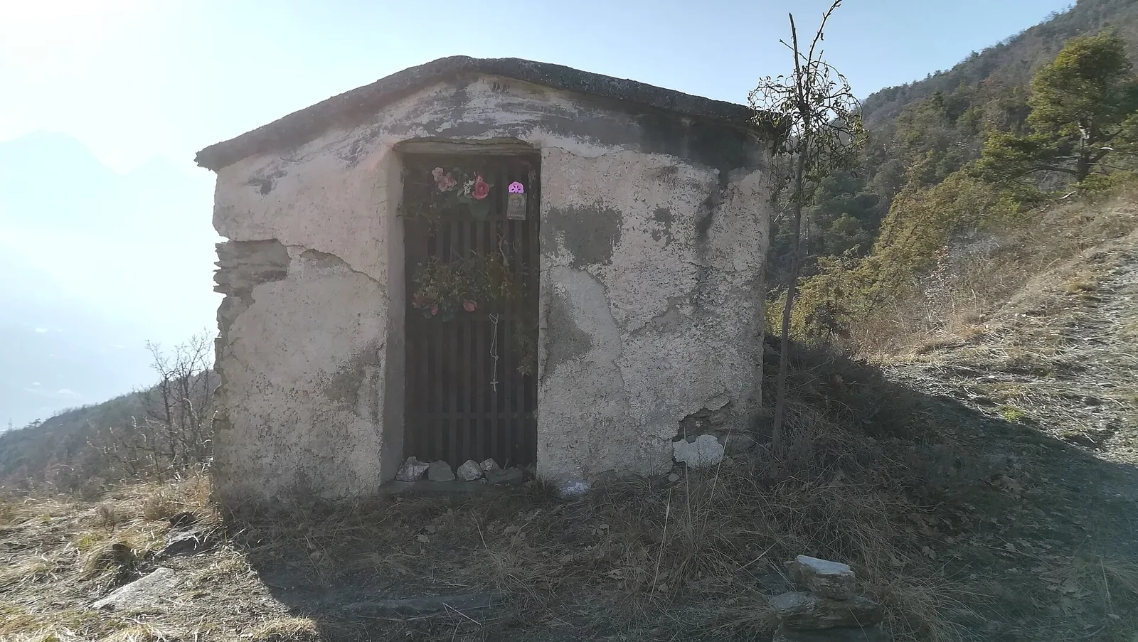
Valsavarenche
Related trails
Same valley or similar routes — more hikes to explore.

Valsavarenche
Area Pic Nic Champlong - Becca d'Aver e Cima Longhede
6.4 km · +913 m · E — from Area Pic Nic Champlong to Cima Longhede (Valsavarenche).
Valsavarenche
Biel - La Serra di Biel - Le Grand Chateau
3.9 km · +549 m · E — from Biel to Serra di Biel (Valsavarenche).
Valsavarenche
Capoluogo - Becca d'Aver
6.1 km · +1451 m · E — from Capoluogo to Becca d'Aver (Valsavarenche).
Valsavarenche
Capoluogo - Col des Bornes
5.5 km · +811 m · E — from Verrayes (capoluogo) to Col des Bornes (Valsavarenche).