
E
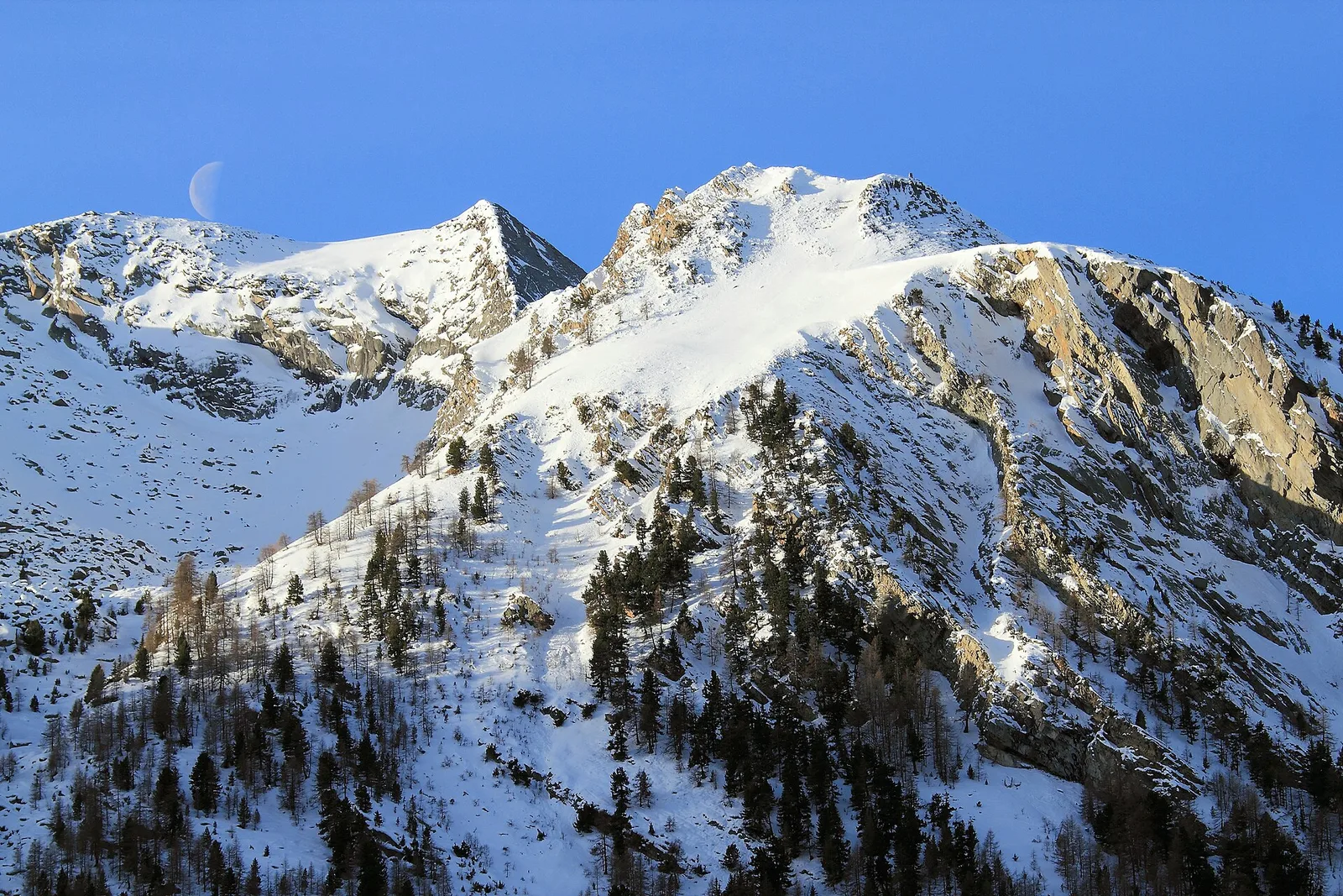
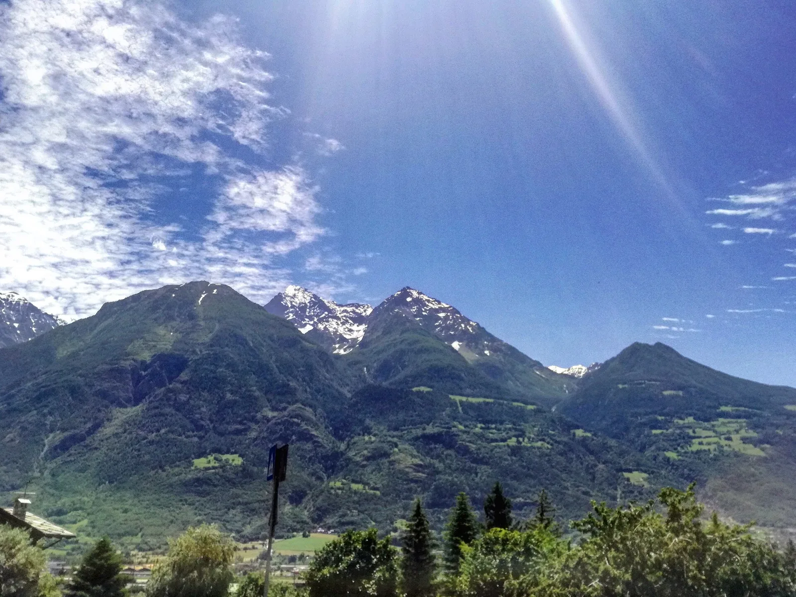
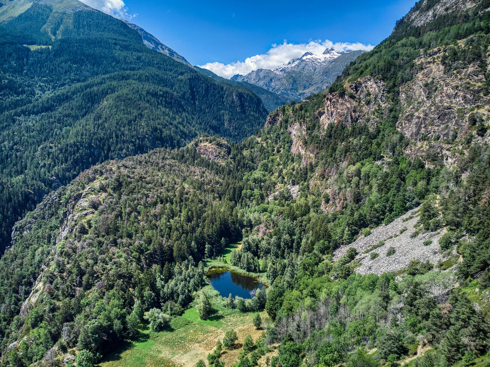
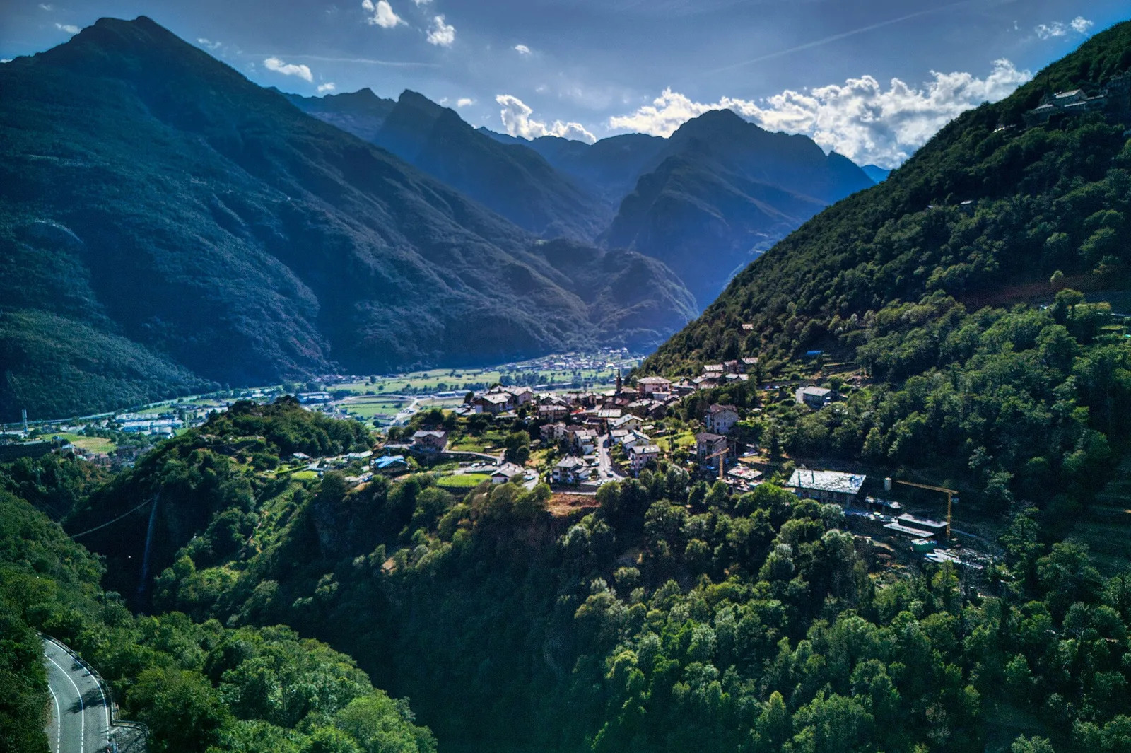
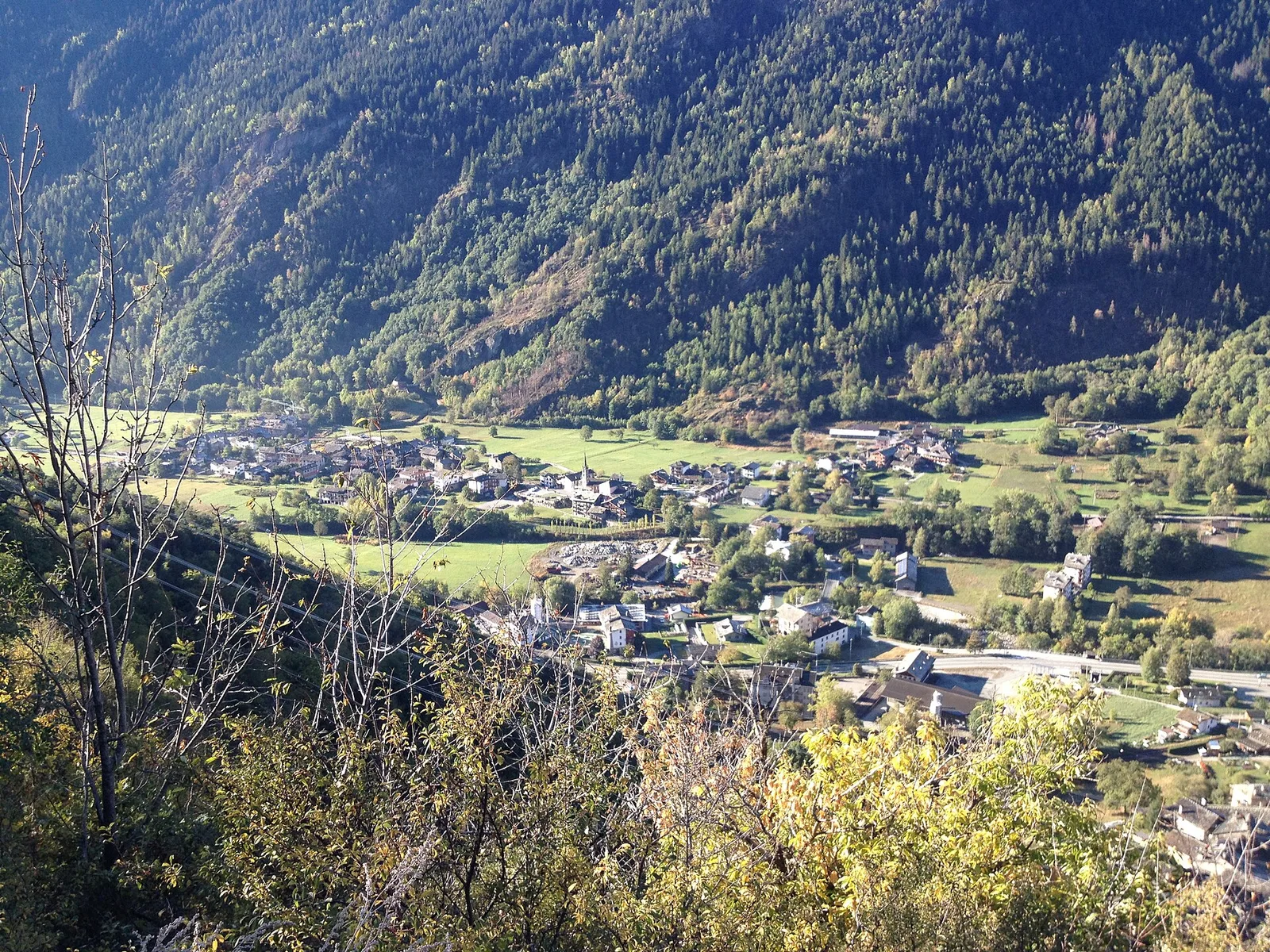
Valle centrale
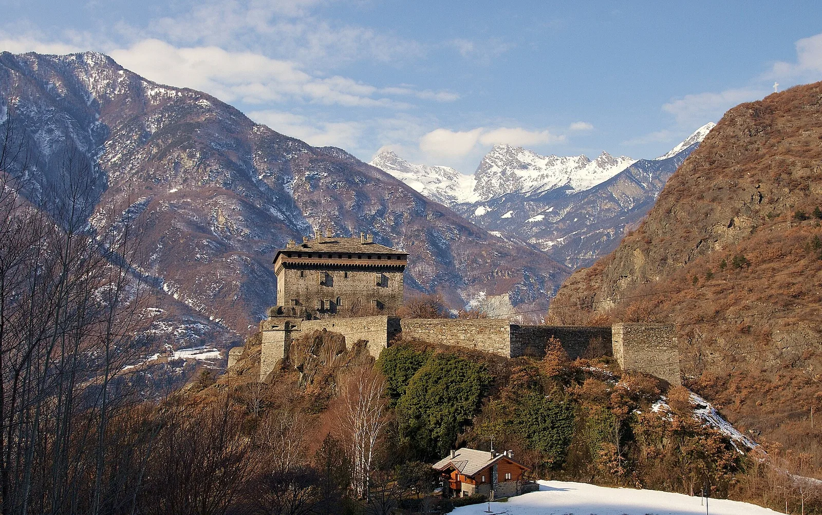
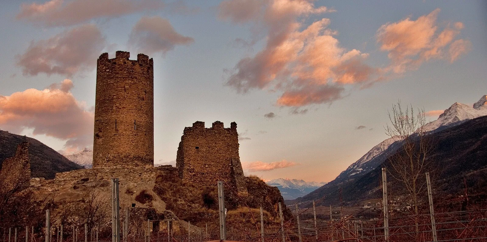
Anello del Verrand
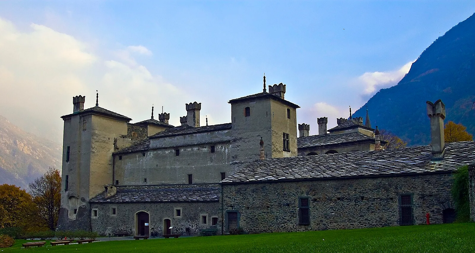
2.6 km · +233 m · E — from Château Verrand to Château Verrand (Rhêmes Valley).
2.6 km+233 m1 h
Where to spot
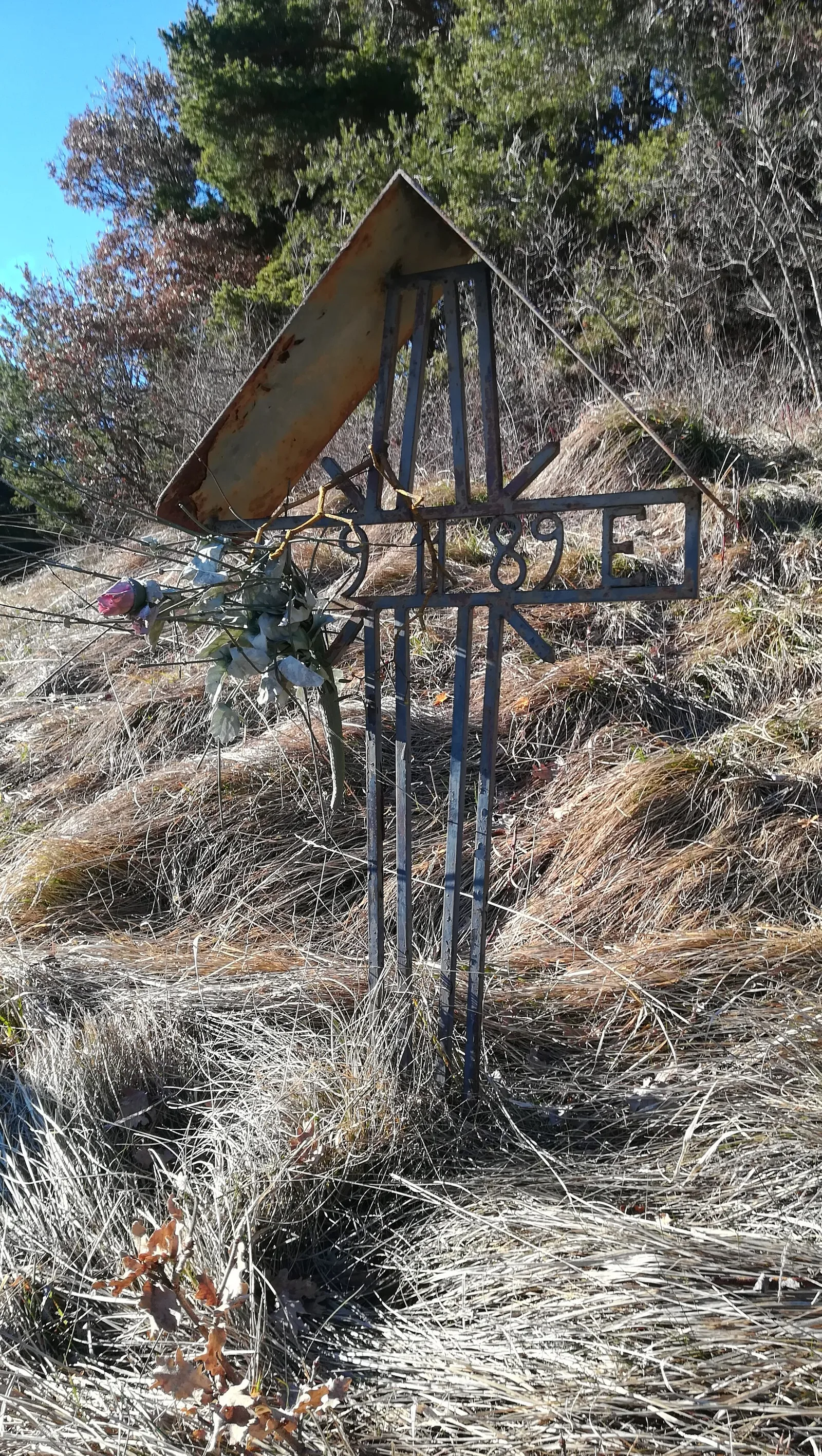
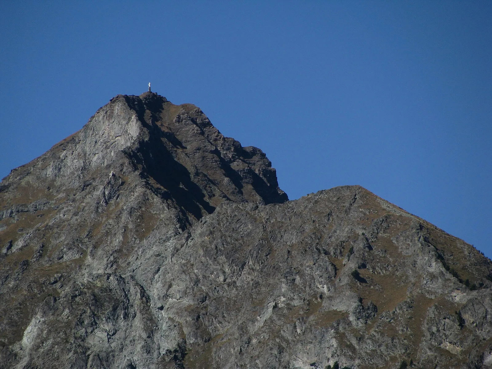
45 trails where Snowy mespilus is listed in flora/fauna: difficulty T–EE, elevation gain 0–1722 m.
45 · 1.1–8.7 km · +0–1722 m
Valle centrale
2.6 km · +233 m · E — from Château Verrand to Château Verrand (Rhêmes Valley).

Valtournenche
1.9 km · +140 m · E — from Champlève to Champlève (Central Valley).

Valle centrale
2.1 km · +333 m · E — from Arpilles to Champromenty (Lys Valley).
Valle centrale
3.8 km · +694 m · E — from Blavy to La Bourra (Valpelline).
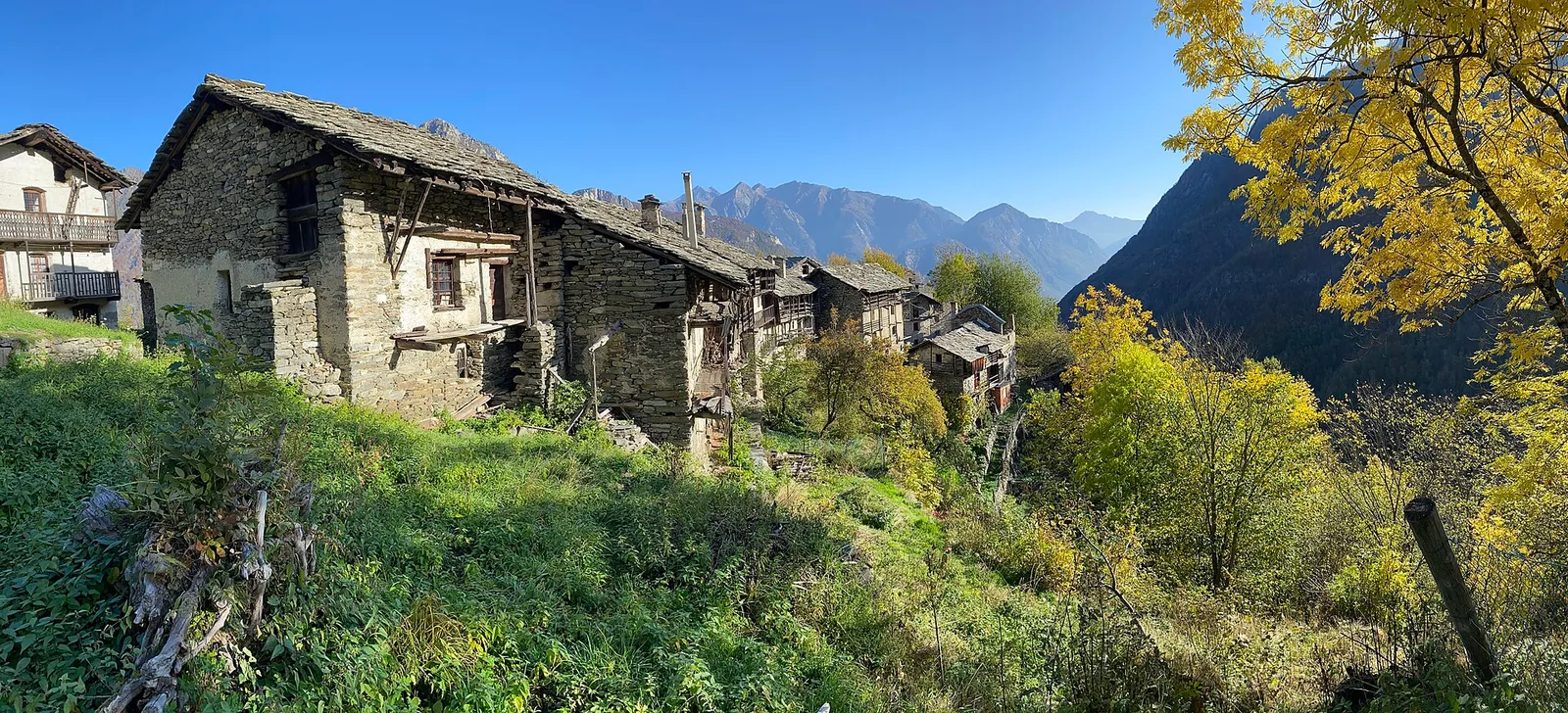
Bassa Valle
6.1 km · +965 m · E — from Bourg to Verale (Valtournenche).
Valle del Gran San Bernardo
2.8 km · +516 m · E — from Buthier to Alpe e Rifugio Chaligne (Central Valley).
Val d'Ayas
6.6 km · +0 m · EE — from Capiron to Gettaz (Central Valley).
Val di Cogne
2.8 km · +391 m · E — from Champlong to Montroz (Lys Valley).
Valle centrale
Steep climb from Champsolin (762 m) to Ozein (1,371 m) in the Cogne Valley: 3.2 km with 596 m of ascent.
Valle di Champorcher
4.4 km · +507 m · E — from Chardonney to Champlong (Valtournenche).
Valtournenche
1.3 km · +176 m · E — from Chaté to Musée Petit Monde (Tiatel) (Valpelline).
Valle centrale
7 km · +1299 m · E — from Chenaux to Arpisson (Lys Valley).
Valle centrale
1.5 km · +75 m · E — from Coteau to Eremo Saint-Julien (Lys Valley).

Valle centrale
1.4 km · +164 m · E — from Feilley to Moron (Valtournenche).
Valsavarenche
5.1 km · +233 m · T — from Fenille to Degioz (Ayas Valley).
Valle centrale
7.4 km · +1321 m · E — from Hermitage to Verrand (Great St Bernard Valley).
Valle centrale
1.5 km · +245 m · E — from La Ravoire to Lolair (Valgrisenche).
Valle centrale
5.8 km · +1201 m · E — from Pont Suaz to Ermitage de Saint-Grat (Cogne Valley).
Valtournenche
1.3 km · +8 m · E — from Lies to Strada (Valtournenche).
Val d'Ayas
1.6 km · +294 m · E — from Lignod to Incrocio Ru (Central Valley).
Val d'Ayas
In the Val d'Ayas, commune of Ayas: a steady E-rated climb toward a high-altitude objective on well-marked terrain.
Valle del Lys
2.8 km · +802 m · E — from Lihrla to Alpe Grignatz (Great St Bernard Valley).
Valle del Lys
2.4 km · +438 m · E — from Lillianes to Le Miriou (Central Valley).
Valle centrale
2.1 km · +261 m · E — from Liveroulaz to Fossaz (Central Valley).
Val d'Ayas
6.5 km · +1049 m · E — from Mure to Boden (Central Valley).
Valle centrale
5.2 km · +926 m · E — from N.D. to N.D. (Central Valley).
Valle del Lys
3.7 km · +790 m · E — from Nantay to Ruine damon (Central Valley).
Valle centrale
4.3 km · +591 m · E — from Nus to Blavy (Valpelline).
Val d'Ayas
3.9 km · +1057 m · E — from Omens to Bec de l'Oie (Valtournenche).
Val d'Ayas
2.3 km · +307 m · E — from Capoluogo to Salomon (Ayas Valley).
Valtournenche
4.8 km · +0 m · E — from Plan to Berzin (Central Valley).
Valle centrale
3.4 km · +635 m · E — from Plout to Druges (Great St Bernard Valley).
Valle centrale
3.1 km · +806 m · E — from Pompiod to Champallex (Champchenille) (Valtournenche).
Valle del Gran San Bernardo
2.7 km · +185 m · E — from Saint-Oyen to Saint-Léonard (Great St Bernard Valley).
Val d'Ayas
2.3 km · +283 m · E — from Sizan to Sant'Anna (Ayas Valley).
Val d'Ayas
2 km · +370 m · E — from Strada Regionale to Arbaz (Ayas Valley).
Bassa Valle
8.7 km · +938 m · E — from Pont-Saint-Martin to Lillianes (Central Valley).
Val d'Ayas
5.7 km · +1091 m · E — from Toffo (Montjovet) to Sommarèse (Great St Bernard Valley).
Val d'Ayas
1.6 km · +382 m · E — from Valyre to Salirod (Valtournenche).
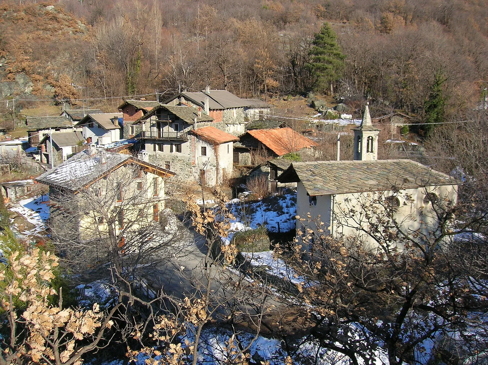
Valle di Champorcher
5.2 km · +1722 m · E — from Varesa to Chavanna (Champorcher Valley).
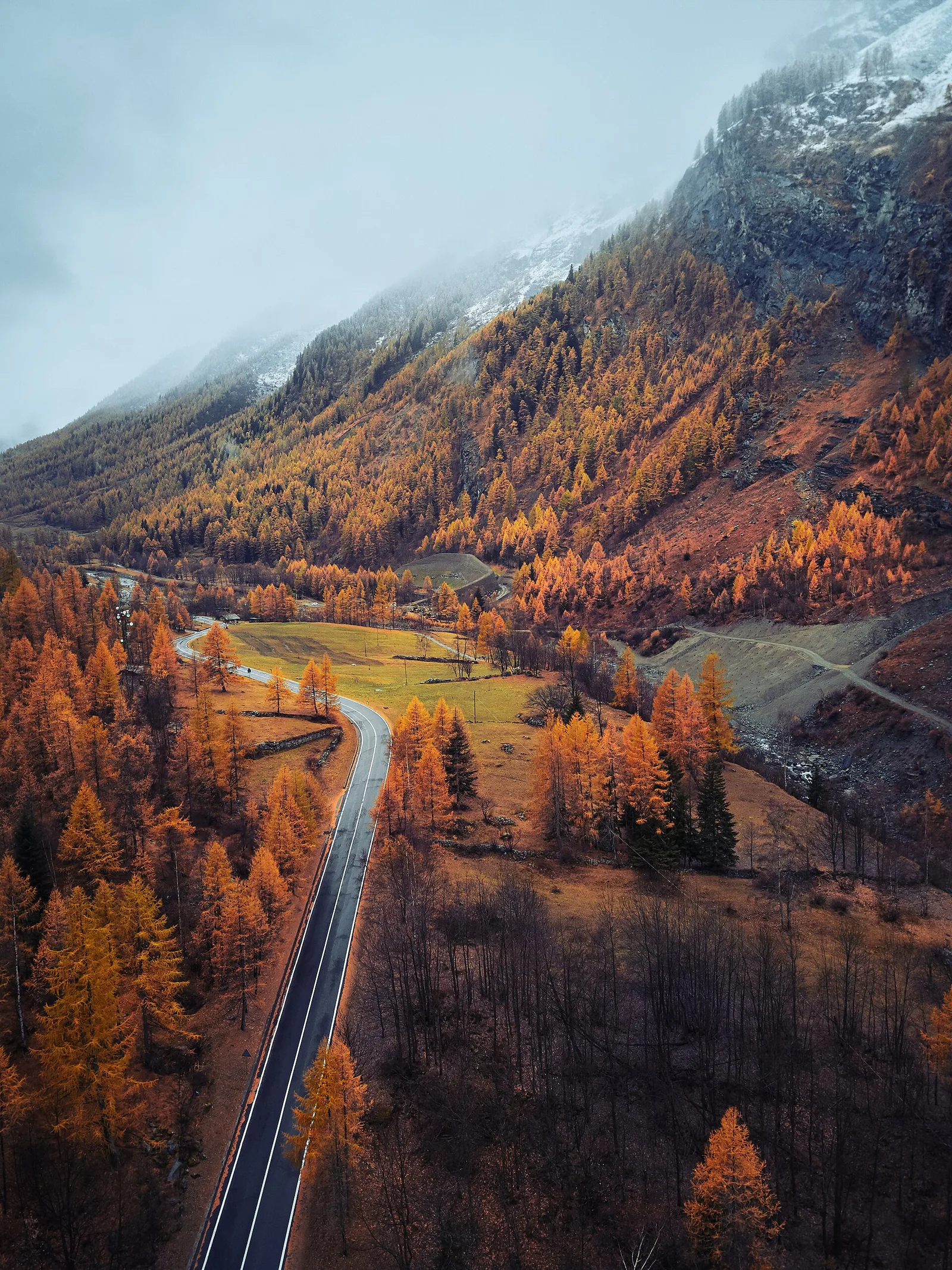
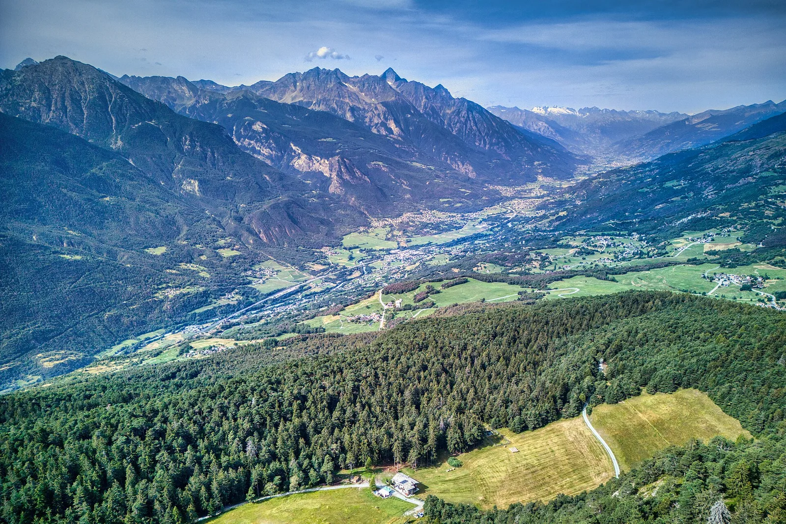
Valle centrale
In the commune of La Salle, Valdigne: an accessible route through mixed forest and pastures with views of Mont Blanc.
Valle centrale
1.1 km · +191 m · E — from Verrogne to Vulmian (Central Valley).
Valle centrale
In the lower Val d'Ayas, Challand-Saint-Victor: a moderate climb through vineyards, meadows and forest toward upper hamlets.
Valle del Lys
3.4 km · +311 m · E — from Prima di Gressoney-La-Trinité to Alpezu grande (Champorcher Valley).
Valle centrale
7.3 km · +909 m · E — from Villeneuve to Petit Poignon (Central Valley).