
EE
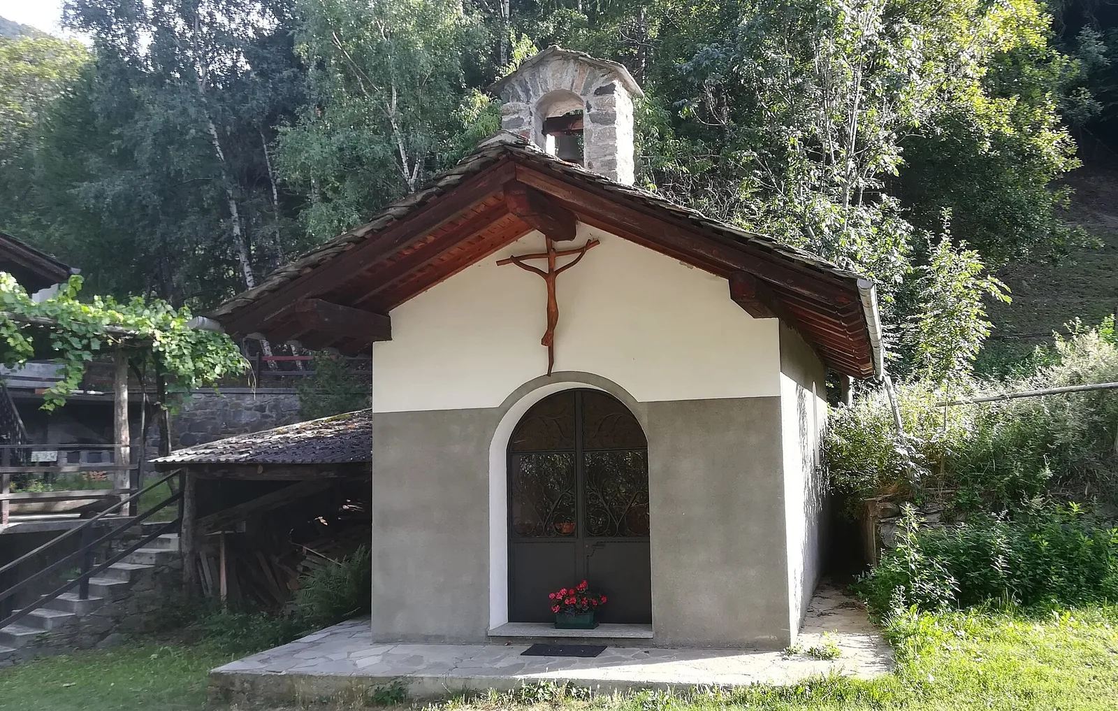
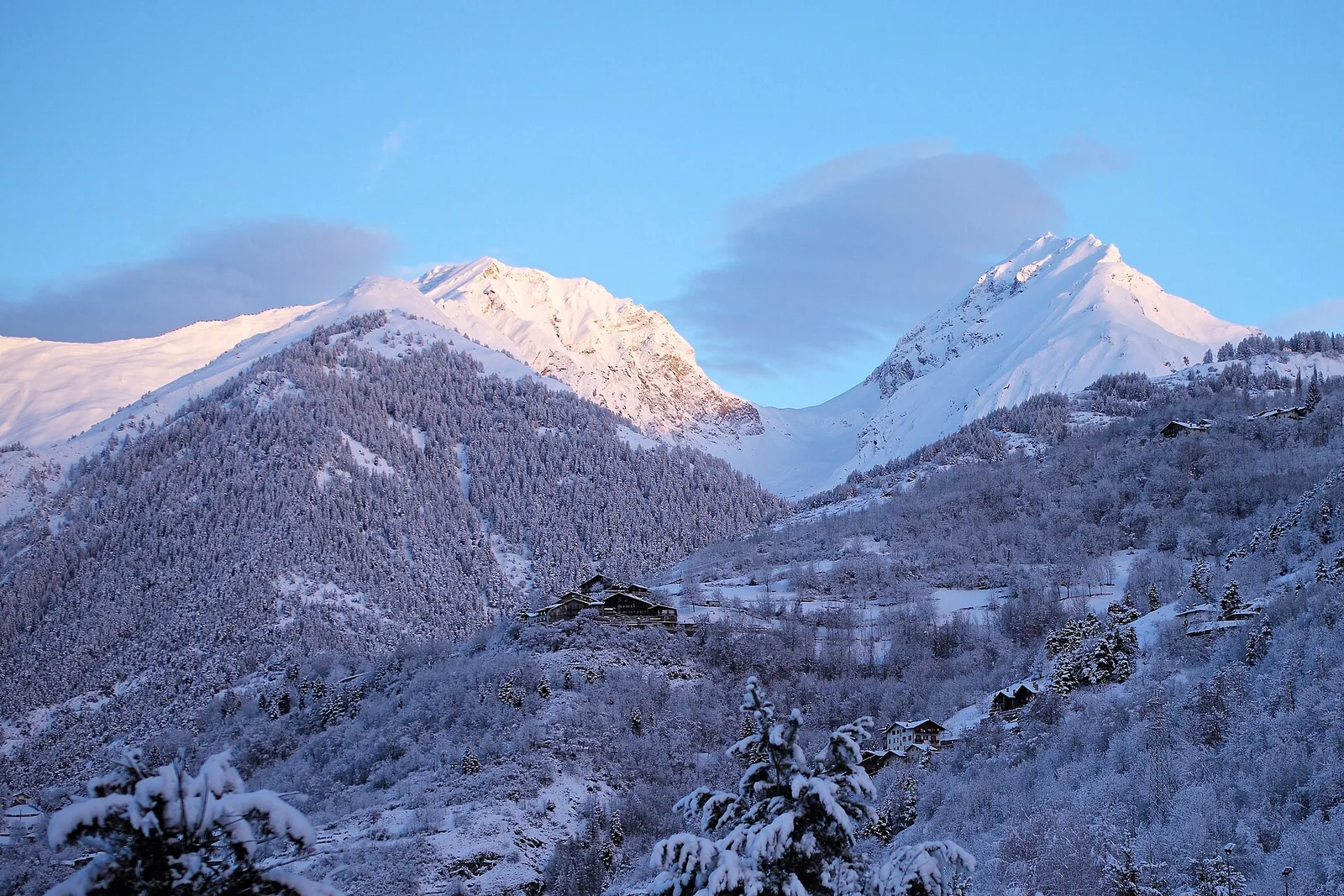
Valle centrale
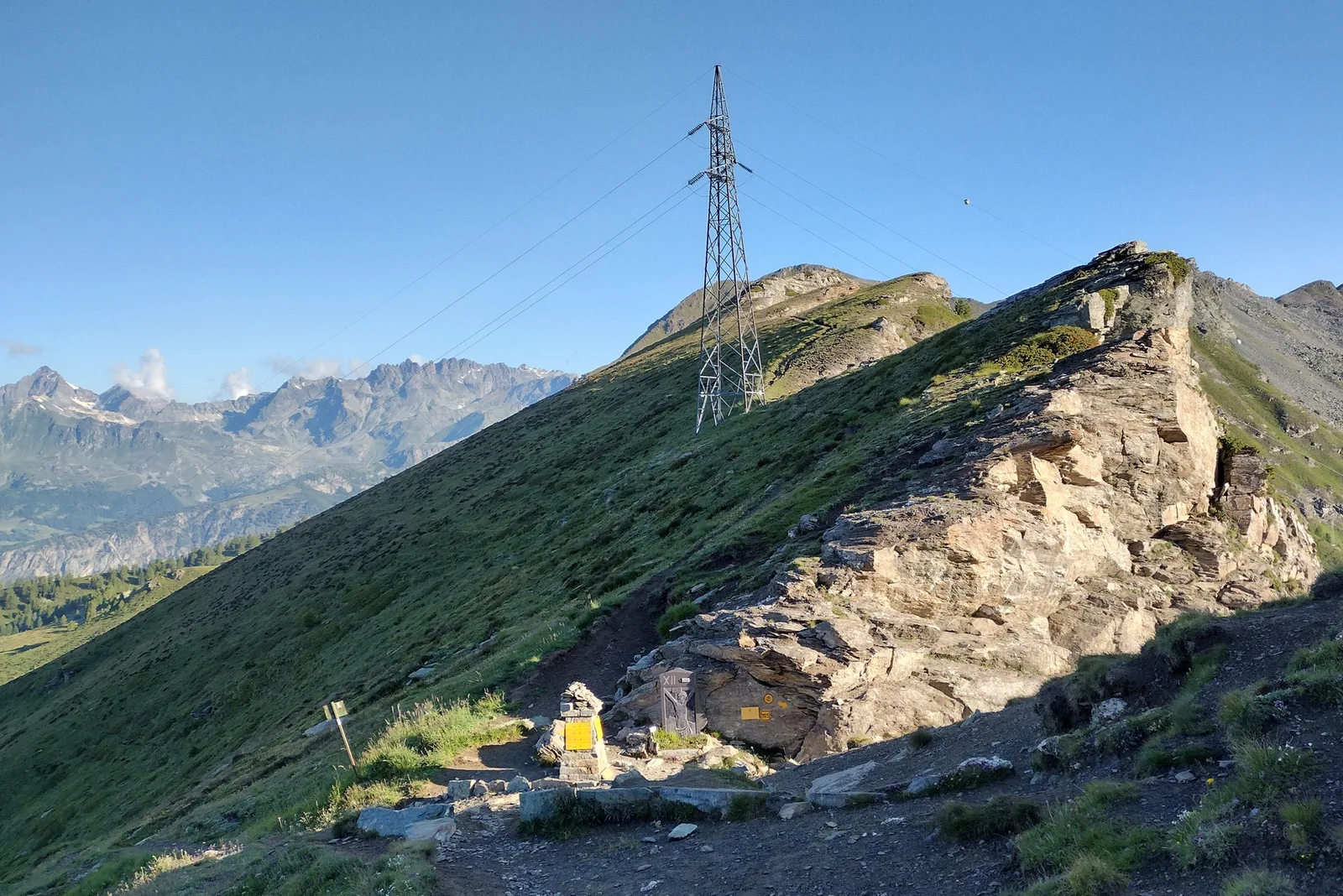
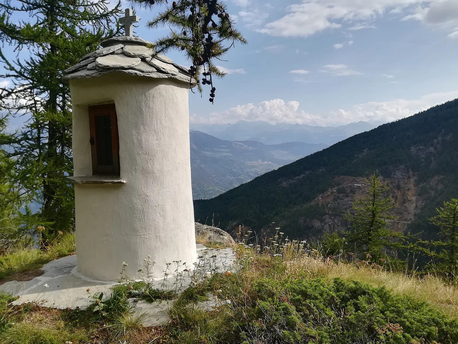
Amponey - Bec de Nannaz
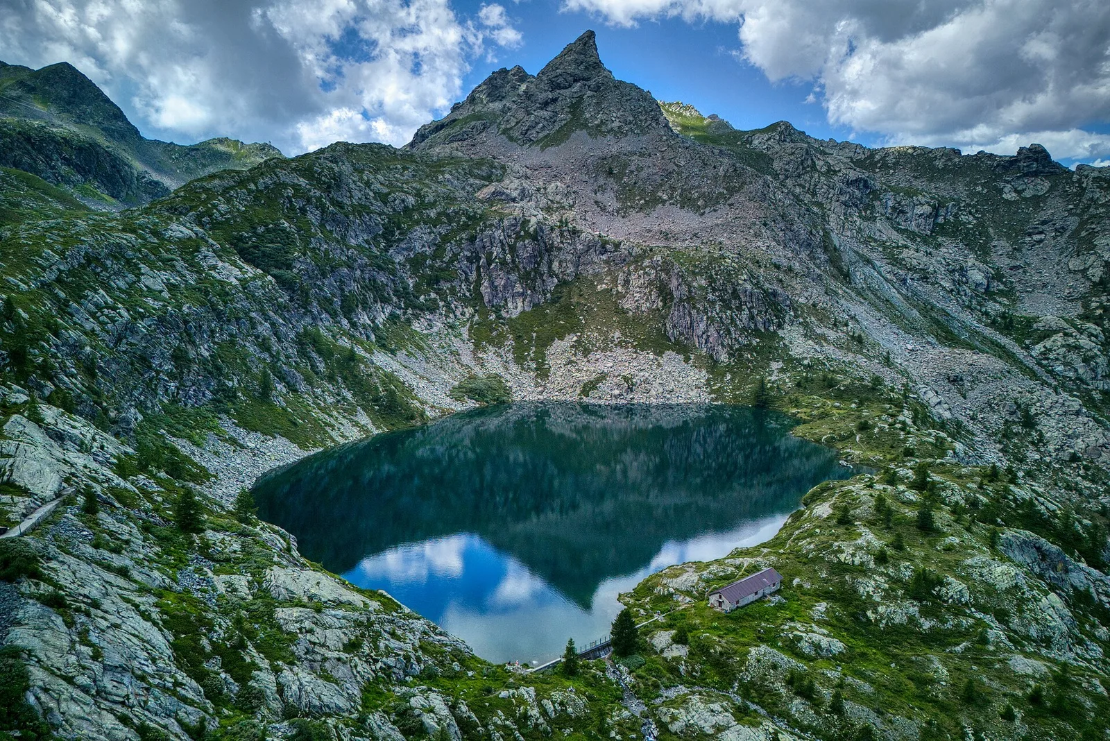
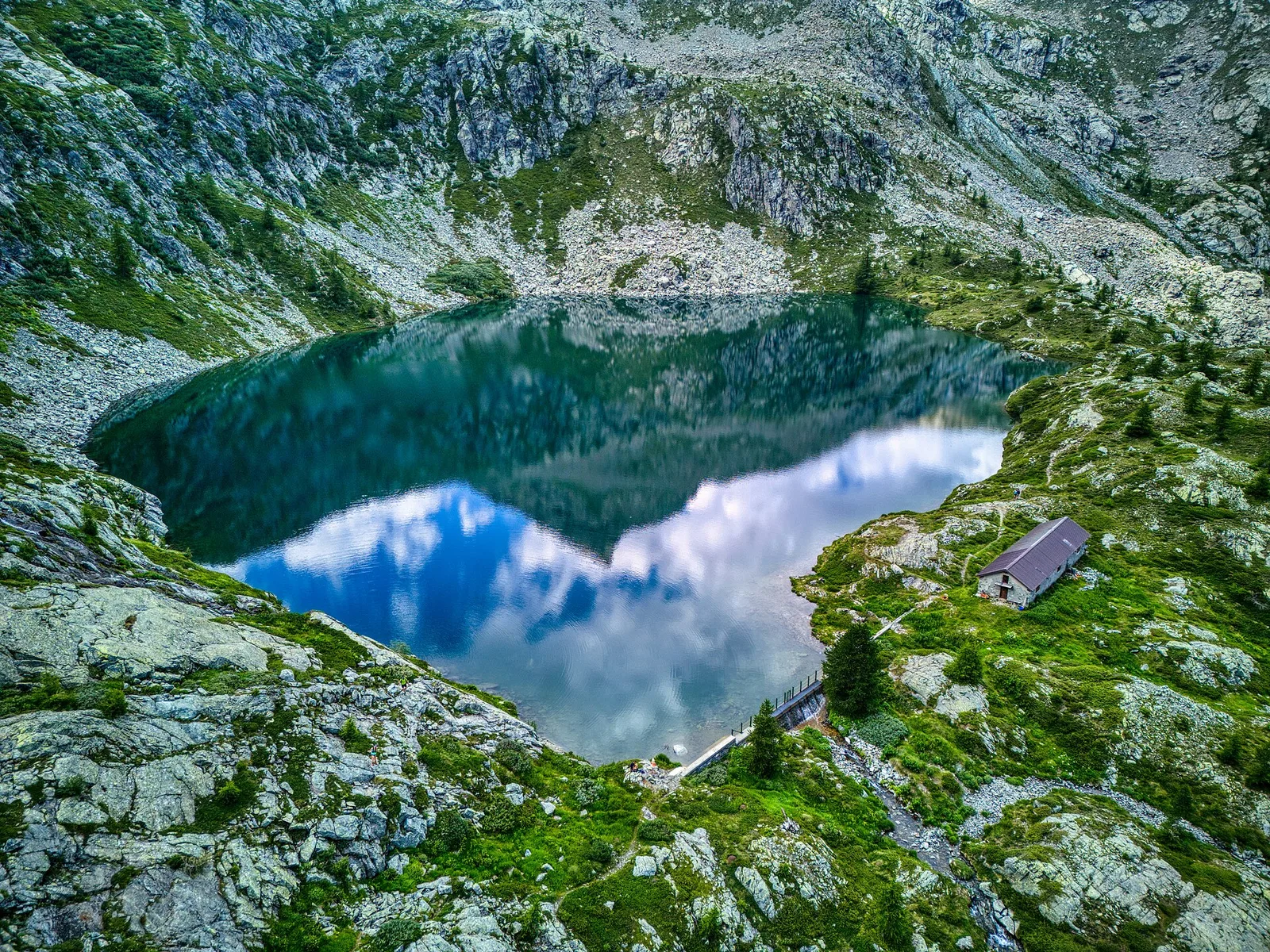
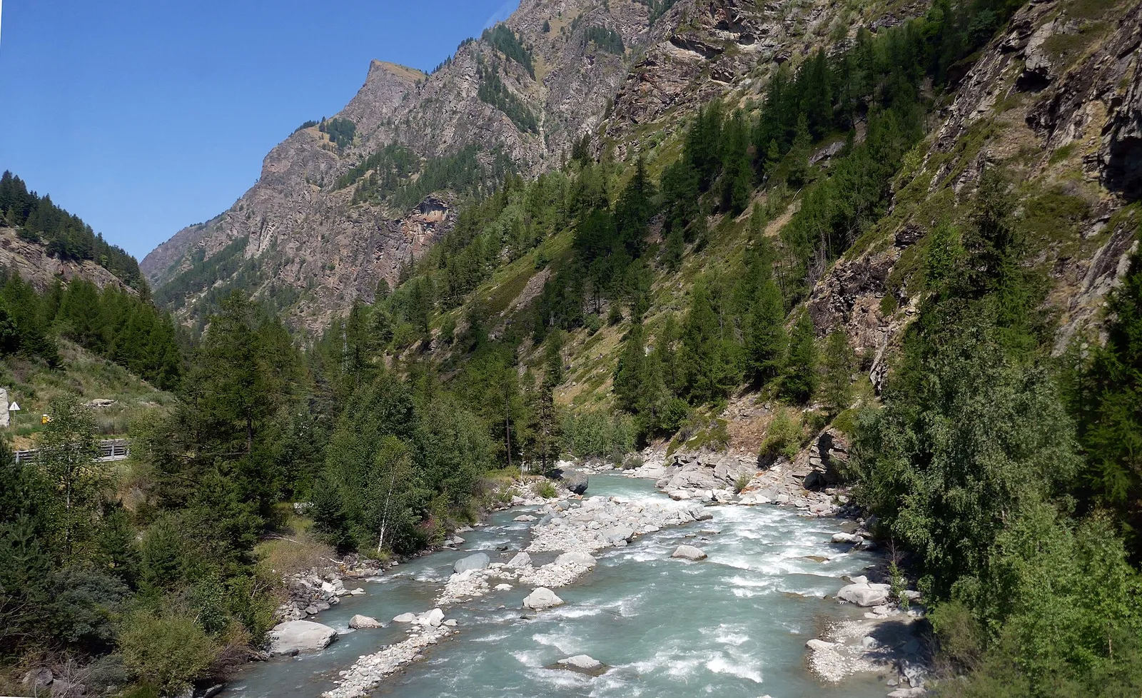
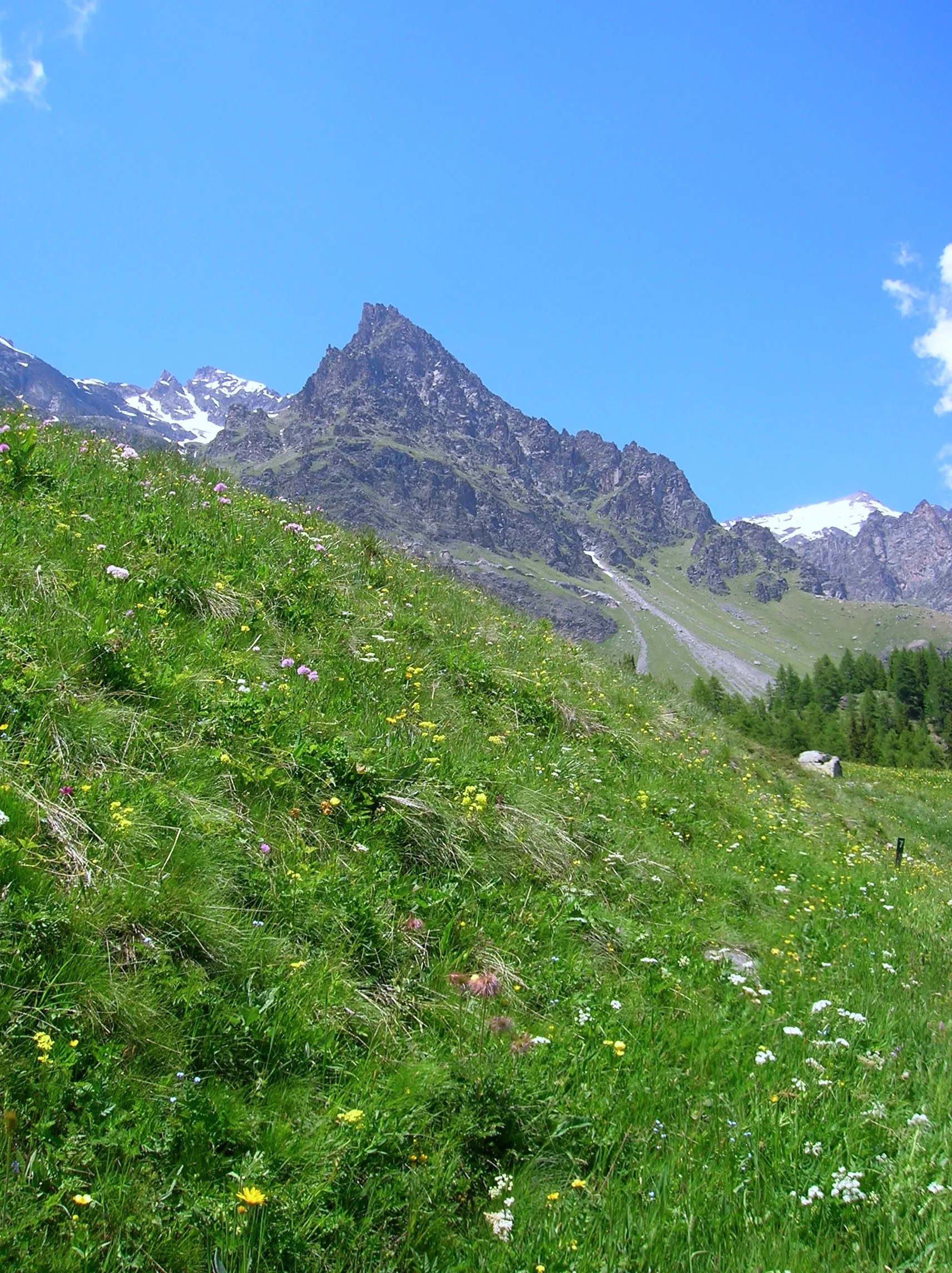
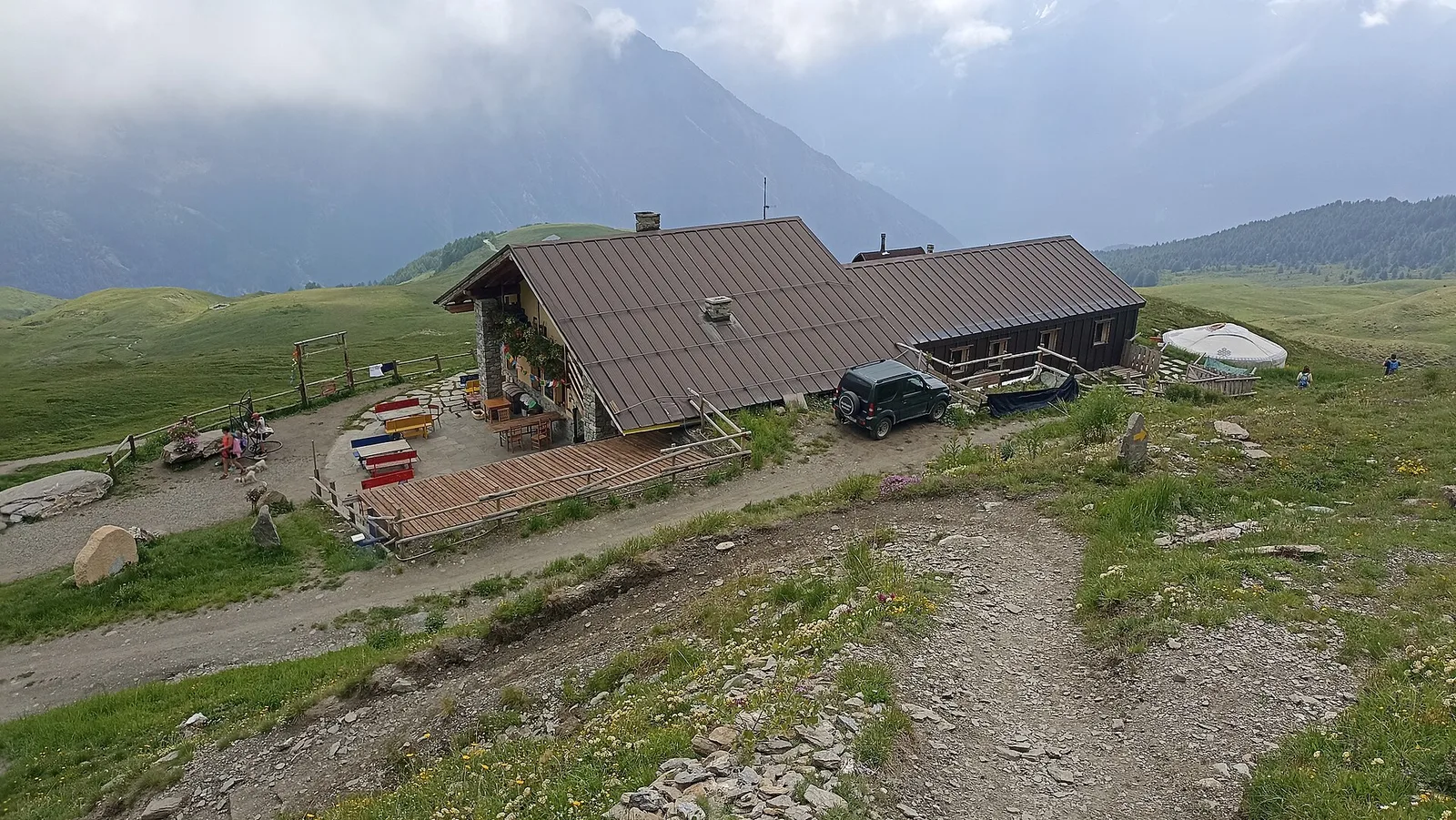
In the Val d'Ayas, Ayas: an E-rated climb toward a high-altitude objective through pastures and rock with views of Monte Rosa.
6.2 km+1467 m5 h
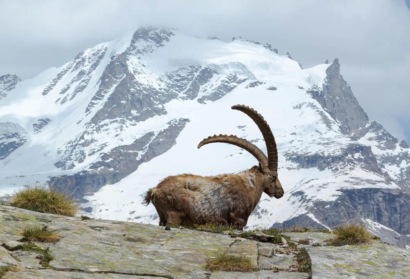
Where to spot
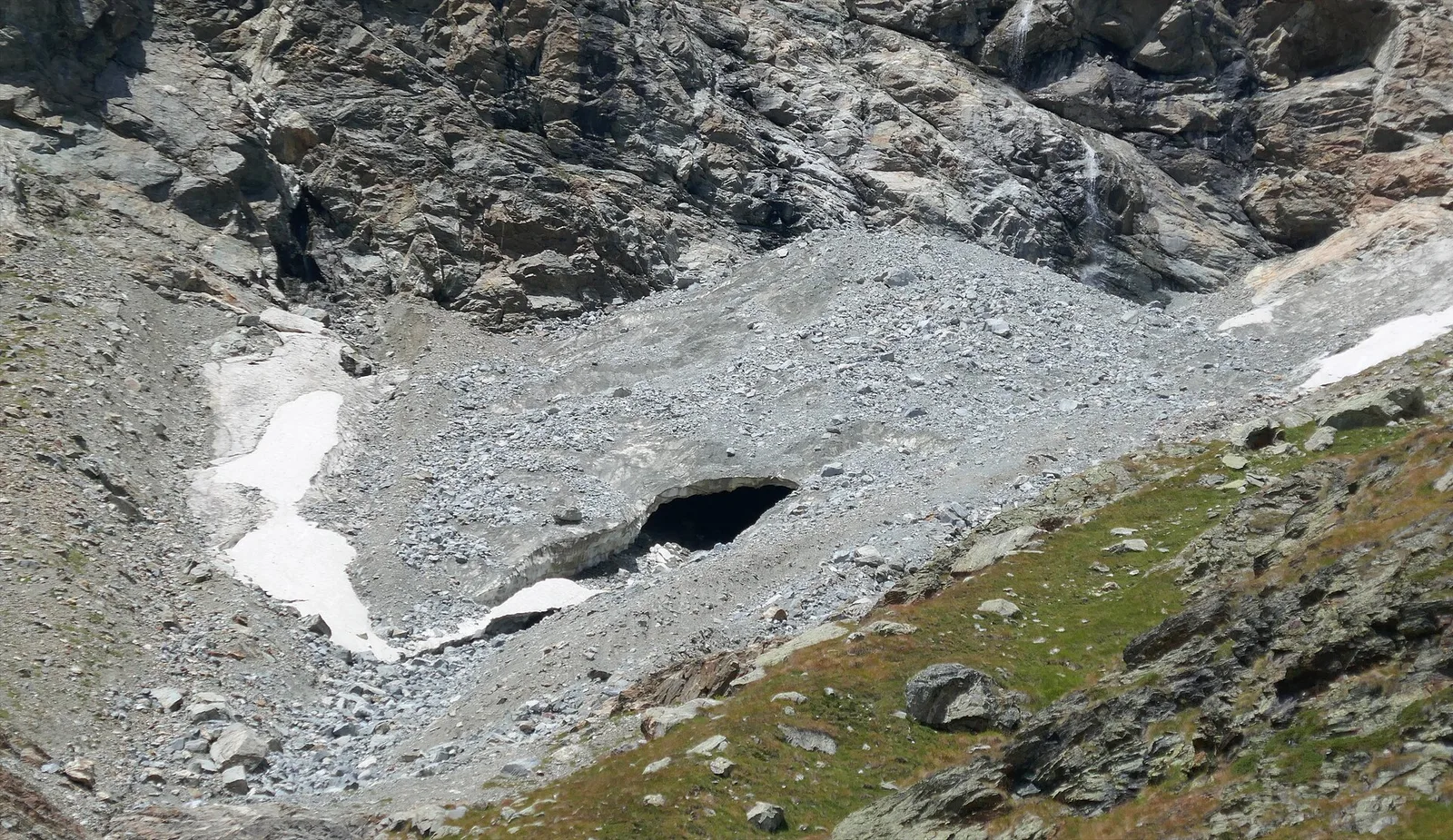
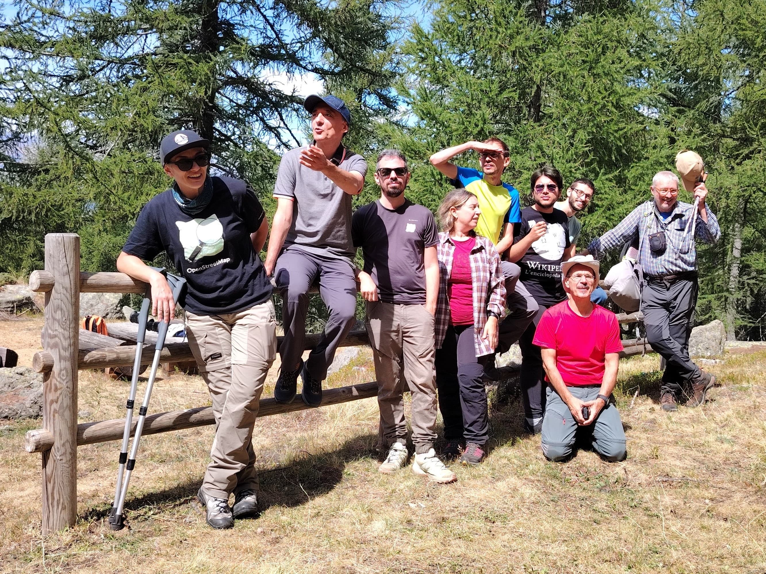
51 trails where Alpine hare ear is listed in flora/fauna: difficulty T–EEA, elevation gain 0–1712 m.
51 · 0.9–12.3 km · +0–1712 m
Valle centrale
In the Val d'Ayas, Ayas: an E-rated climb toward a high-altitude objective through pastures and rock with views of Monte Rosa.

Valle del Lys
3.8 km · +852 m · E — from Moline to Miniere di Colonna (Lys Valley).
Valdigne
6.7 km · +997 m · E — from Artaz to Mont Zerbion (Valdigne).

Valtournenche
4.9 km · +705 m · E — from Bois de Grillet to Lago di San Grato (Valtournenche).
Valgrisenche
7.7 km · +1065 m · EE — from Bellon to Tsa de la Comba (Valgrisenche).
Valpelline
3.8 km · +694 m · E — from Blavy to La Bourra (Valpelline).
Valle centrale
1.8 km · +21 m · T — from N.D. to N.D. (Central Valley).
Valtournenche
8.8 km · +1350 m · EE — from Champorcher to Col de la Fricolla (Valtournenche).
Valtournenche
4.4 km · +507 m · E — from Chardonney to Champlong (Valtournenche).
Valle del Lys
2.8 km · +170 m · T — from Capoluogo to Valnontey (Lys Valley).
Valle del Lys
5.5 km · +855 m · E — from Staffal to Col della Bettaforca (Lys Valley).
Valle del Lys
3.3 km · +0 m · EEA — from Col TsaSeche to Col del Drink (Lys Valley).
Valle centrale
9.1 km · +1701 m · E — from Cré to Pointe Chaligne (Central Valley).
Valle del Lys
6.8 km · +1712 m · E — from Cretaz to Colle della Rossa (Lys Valley).
Valle centrale
3.6 km · +586 m · EE — from Illiaz Perron to Colle Roisetta (Central Valley).
Valle del Gran San Bernardo
11.9 km · +1402 m · E — from Druges to Col de Saint-Marcel (Great St Bernard Valley).
Val di Rhêmes
6.8 km · +797 m · E — from Elevaz to Plan Praz (Rhêmes Valley).
Valle centrale
7.2 km · +1683 m · E — from Fey to Mont Crabun (Central Valley).
Valle del Lys
7.8 km · +1429 m · E — from Capoluogo to Col de Gragliasca (Lys Valley).
Val di Rhêmes
9.9 km · +1151 m · EE — from Fonteil to Becca d'Aveille (Rhêmes Valley).
Valtournenche
1.8 km · +425 m · EE — from Grand Rosier to Tete du Mont (Valtournenche).
La Thuile
5.3 km · +1205 m · EE — from Joux to Becca Pouegnenta (La Thuile).
Valdigne
From La Clusaz (1,660 m) to the high-alpine Pas de Planaval (3,013 m) in the Valdigne: 7.5 km and 1,356 m of ascent, EE difficulty.
Valtournenche
3.6 km · +633 m · E — from Laghetto Champillon to Col Champillon (Valtournenche).
Valle del Lys
9.3 km · +1276 m · E — from Le Crin to Col Etsély (Lys Valley).
Valle centrale
In the Val d'Ayas, commune of Ayas: a steady E-rated climb toward a high-altitude objective on well-marked terrain.
Valle del Lys
12.3 km · +1280 m · E — from Lillaz to Col de l'Arietta (de la Nouva) (Lys Valley).
Valtournenche
6.2 km · +1444 m · EE — from Lusey to Col Varotta (Valtournenche).
Valle del Lys
5 km · +865 m · EE — from Maison Blanche to Praz Premier (Lys Valley).
Valtournenche
6.6 km · +835 m · E — from Mondanges to Rifugio Chalet de l'Epée (Valtournenche).
Valle del Lys
0.9 km · +104 m · E — from Montroz to Gimillan (Lys Valley).
Valle del Gran San Bernardo
3.9 km · +952 m · EE — from Niel to Punta dei Tre Vescovi (Great St Bernard Valley).
Valle centrale
In the Val d'Ayas, commune of Ayas: an E-rated climb toward alpine pastures and high ground through meadow and rock.
Valtournenche
4.4 km · +515 m · E — from Outre l'Eve to Outre l'Eve (Valtournenche).
Val d'Ayas
3.1 km · +425 m · E — from Paysan to Miniere di Bechaz (Ayas Valley).
Valle centrale
5.5 km · +928 m · EEA — from Laghetto Vofrède to Rifugio Perucca Vuillermoz (Central Valley).
Valle del Lys
4.6 km · +1151 m · EE — from Plan Coummarial to Mont Mars (Lys Valley).
Valle centrale
4.8 km · +1032 m · EE — from Plan de la Glae to Mont Pancherot (Central Valley).
Valpelline
3.4 km · +700 m · E — from Plan Prorion to Becca d'Aver (Valpelline).
La Thuile
8 km · +1315 m · E — from Planaval to Col du Bataillon-Aoste (Battaglione Aosta) (La Thuile).
Val d'Ayas
9 km · +643 m · E — from Pont to Col du Nivolet (Ayas Valley).
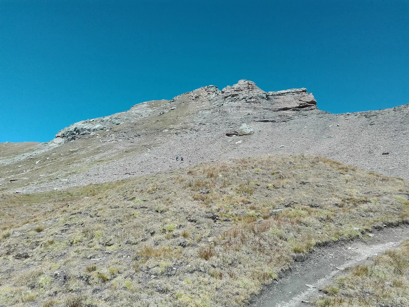
Val d'Ayas
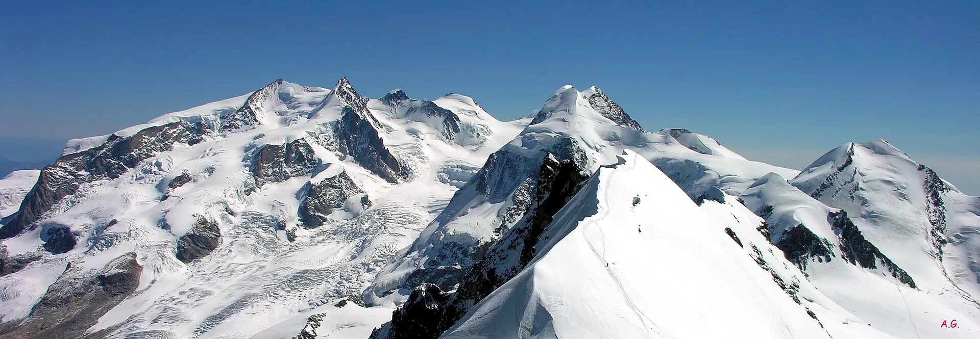
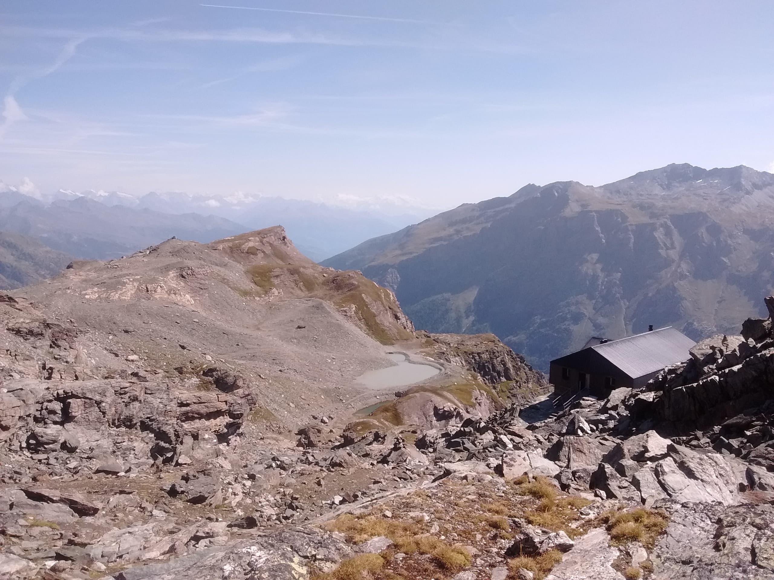
From Pont de Messuere (1425m) to Corno Boussolaz (3023m) via Lago Bringuez: 6.4 km EE with 1593 m of ascent, one of Val d'Ayas's most demanding routes.
Valle del Gran San Bernardo
6.2 km · +904 m · E — from Prenoud to Tête du Bois (Great St Bernard Valley).
Valdigne
3.1 km · +199 m · E — from Promiod to Brengon (Valdigne).
Valle centrale
5.2 km · +926 m · E — from Sarral to Arpilles (Central Valley).
Val d'Ayas
In the commune of Brusson, Val d'Ayas: an accessible itinerary among hamlets and pastures on the sunny slope.
Valle del Lys
6.4 km · +1110 m · E — from Tillier to Druges (Lys Valley).
Valtournenche
4.2 km · +582 m · E — from Valgrisenche to Arp Vieille (Valtournenche).
Valtournenche
5.3 km · +963 m · E — from Valgrisenche to Becca dei Quattro Denti (Valtournenche).
Valle centrale
3.9 km · +289 m · E — from Vetan to Alpe Loe (Or) (Central Valley).
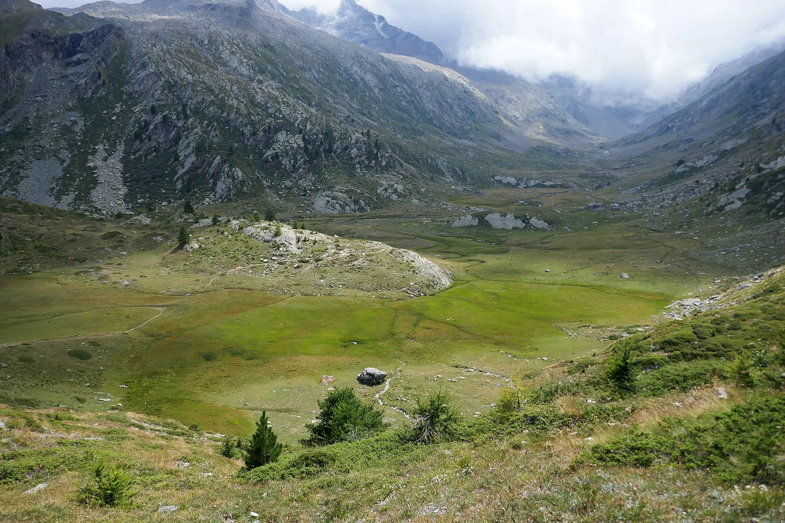
Val di Cogne
From Vieyes, trail no. 5 climbs through Val di Cogne forest and pastures to the Bivacco Mario Gontier (2302 m) on the Grand Nomenon alp: 1167 m of ascent in quiet surroundings.