EEA
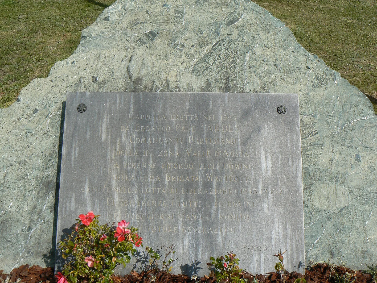
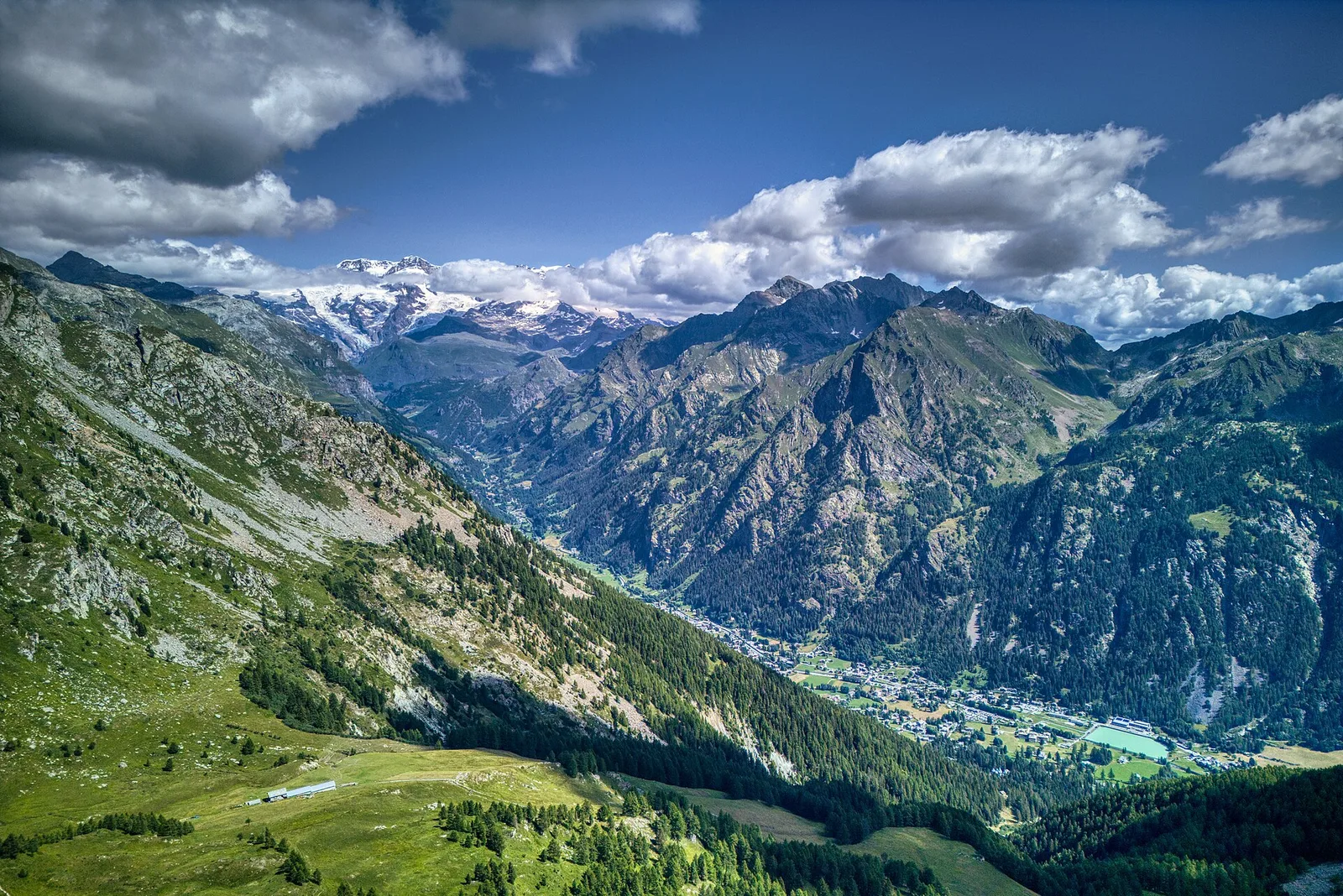
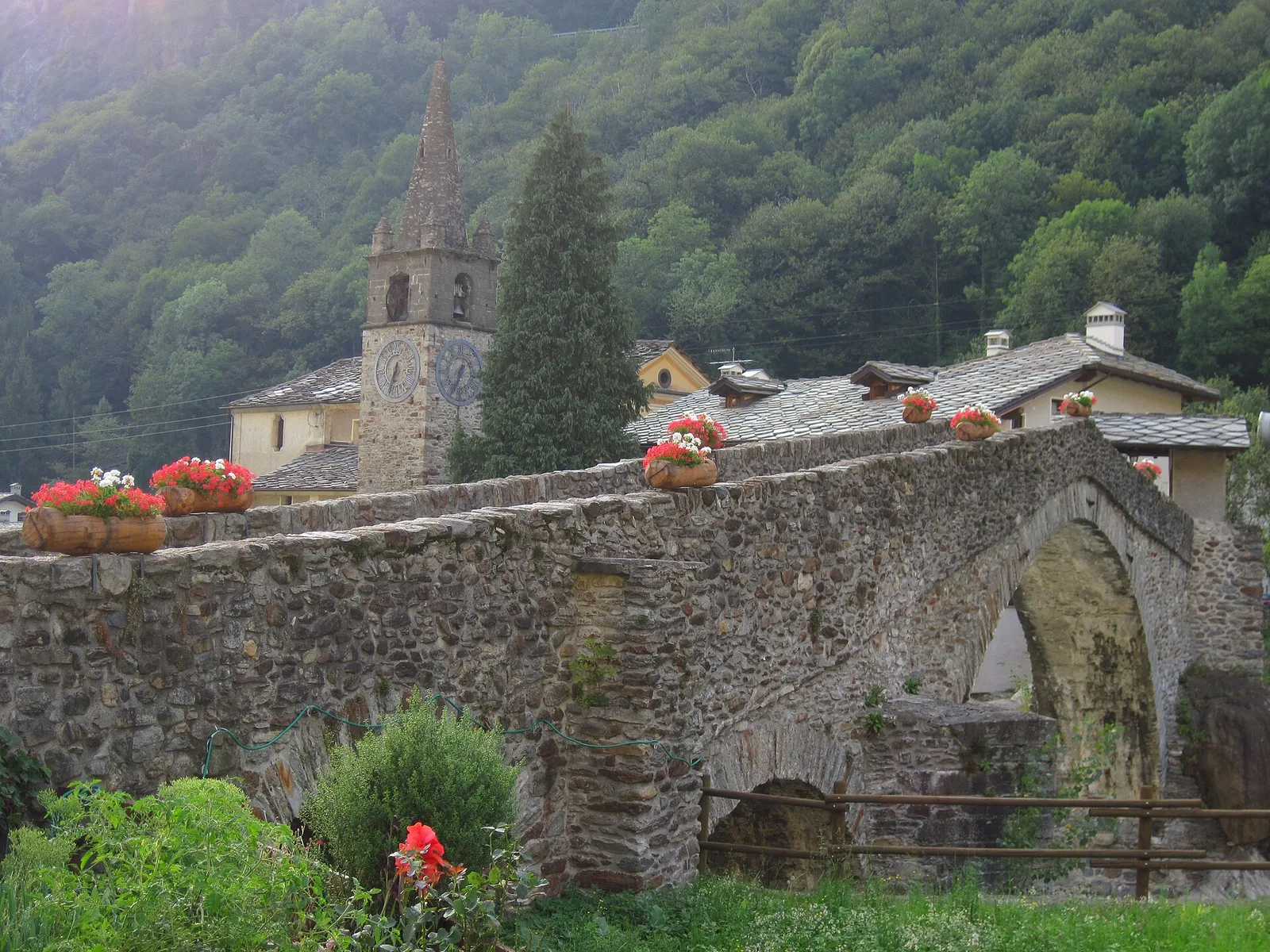
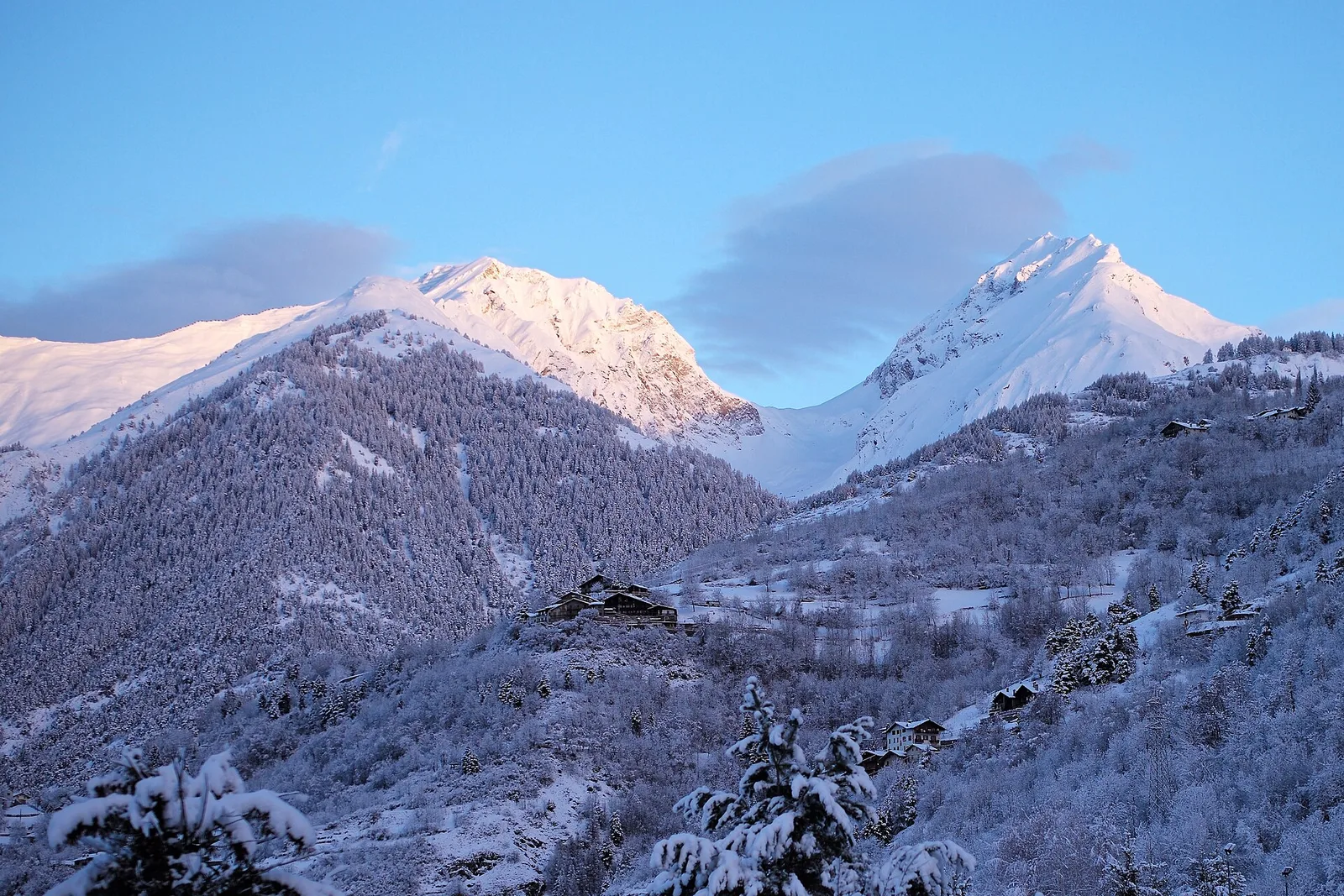
Valle del Gran San Bernardo
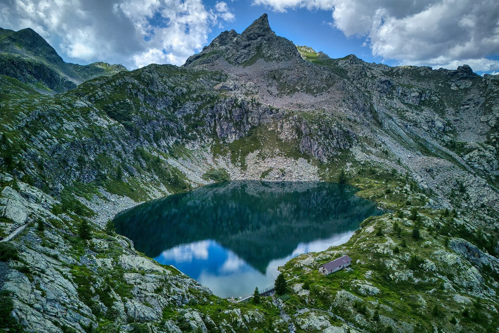
Area pic-nic Plan Veny - Rifugio Monzino
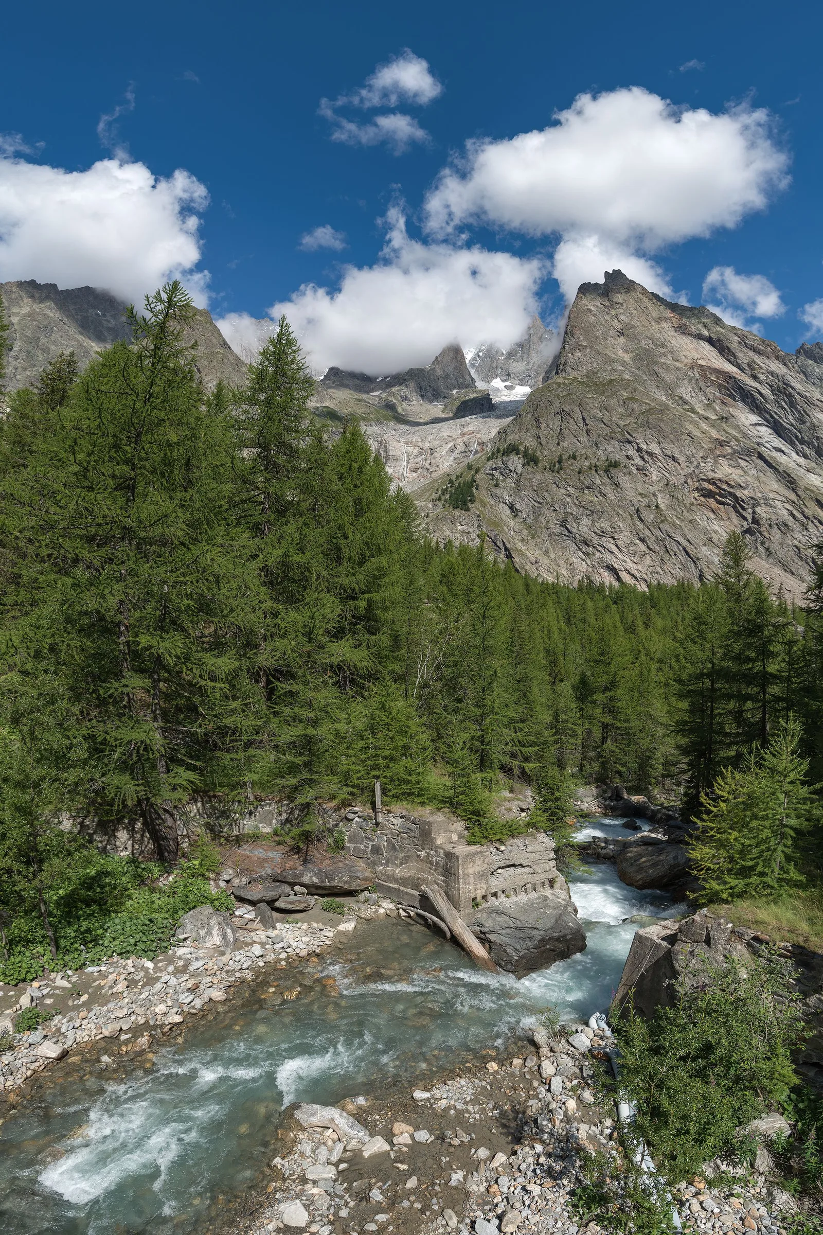
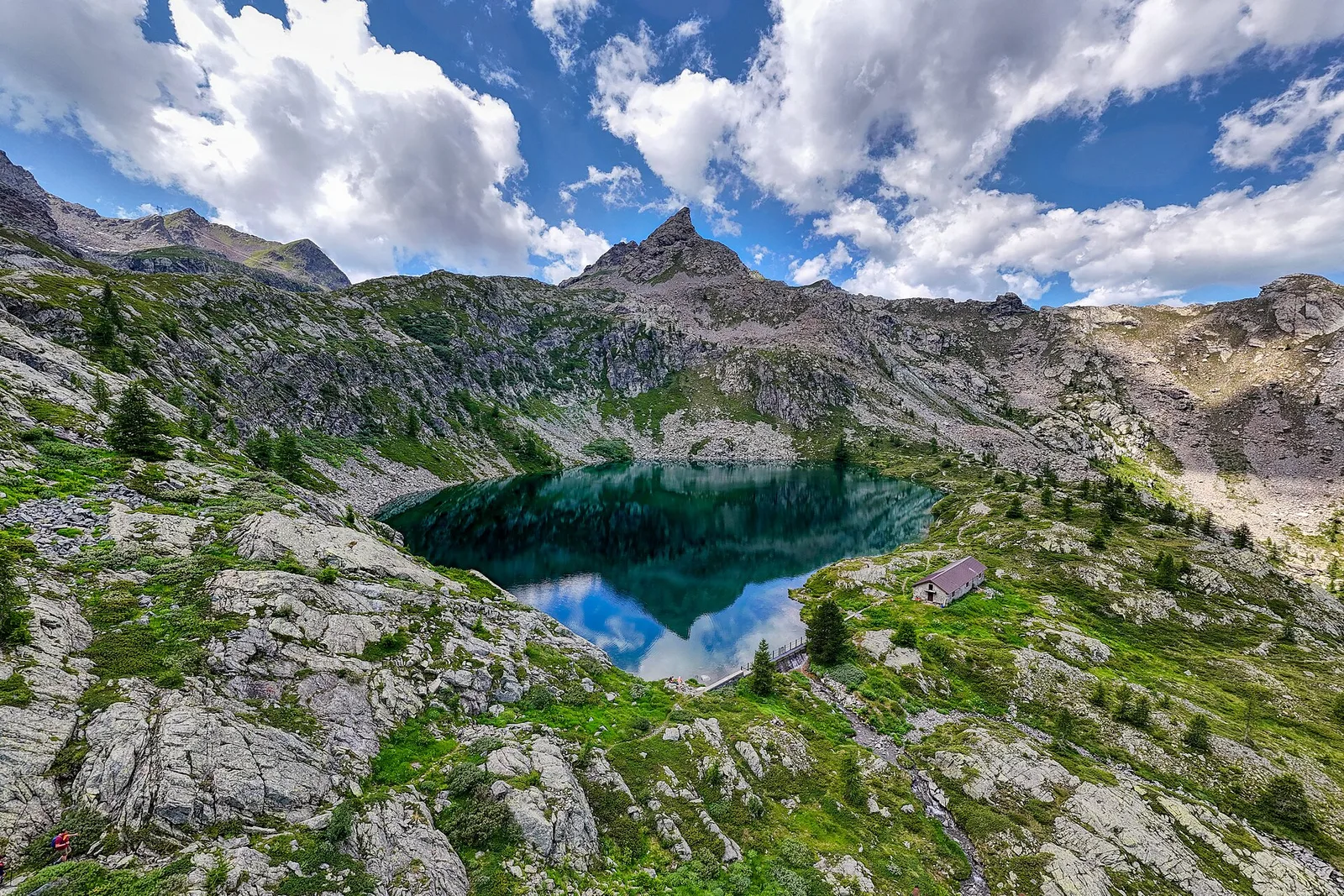
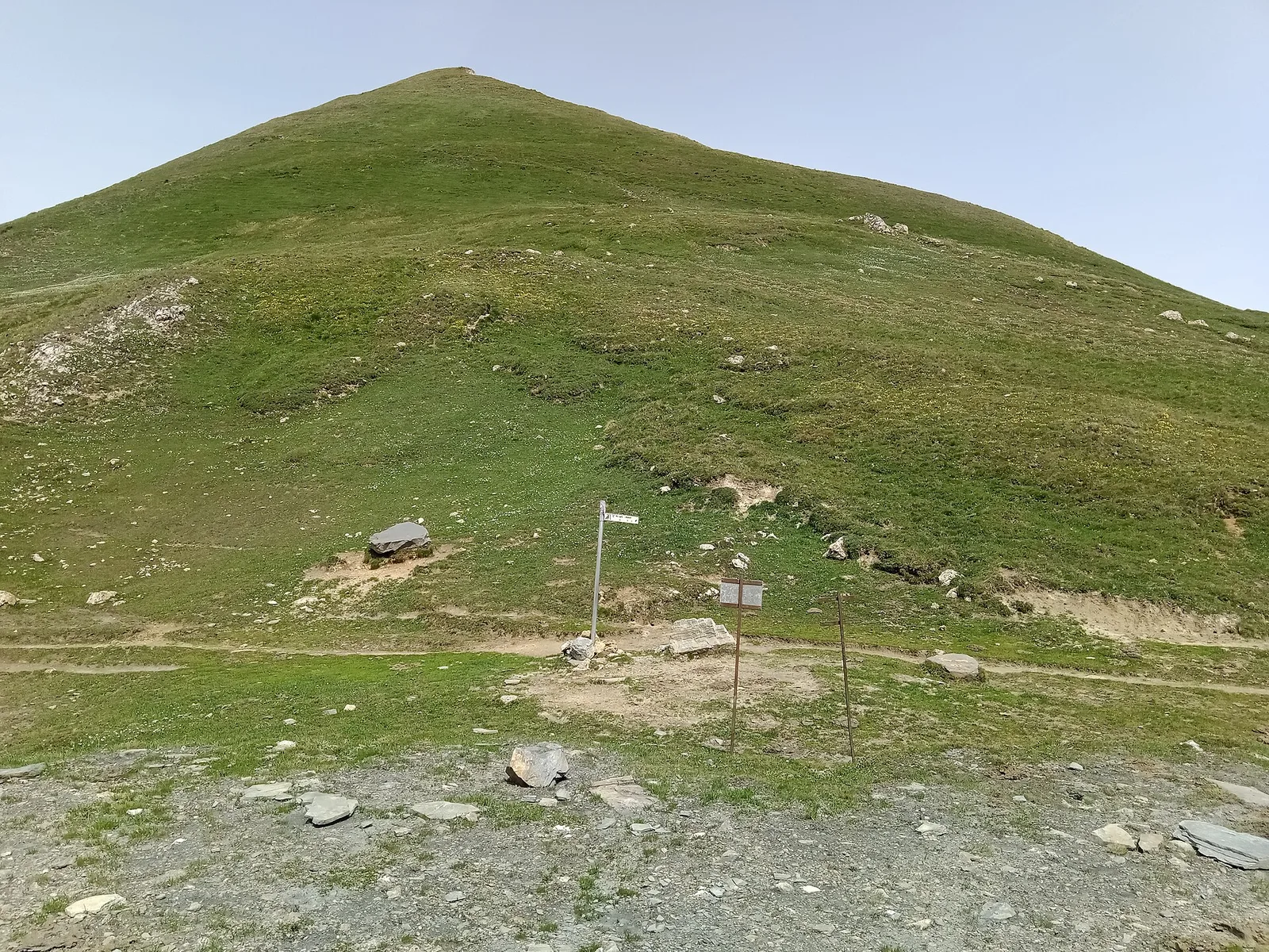
3.4 km · +997 m · EEA — from Area pic-nic Plan Veny to Rifugio Monzino (Great St Bernard Valley).
3.4 km+997 m3.5 h
Where to spot
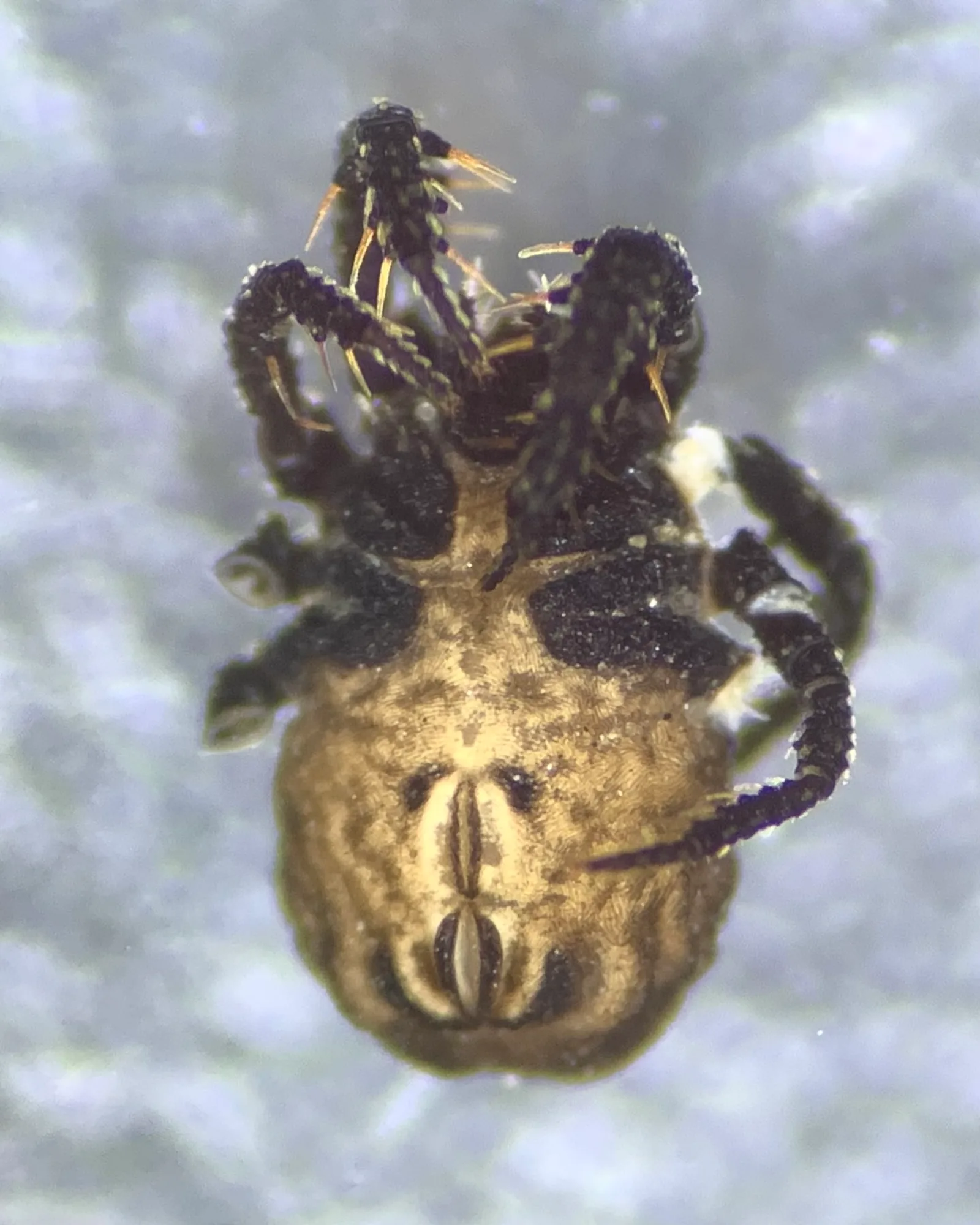
37 trails where White-throated dipper is listed in flora/fauna: difficulty T–EEA, elevation gain 0–1685 m.
37 · 0.7–21.1 km · +0–1685 m
Valle del Gran San Bernardo
3.4 km · +997 m · EEA — from Area pic-nic Plan Veny to Rifugio Monzino (Great St Bernard Valley).

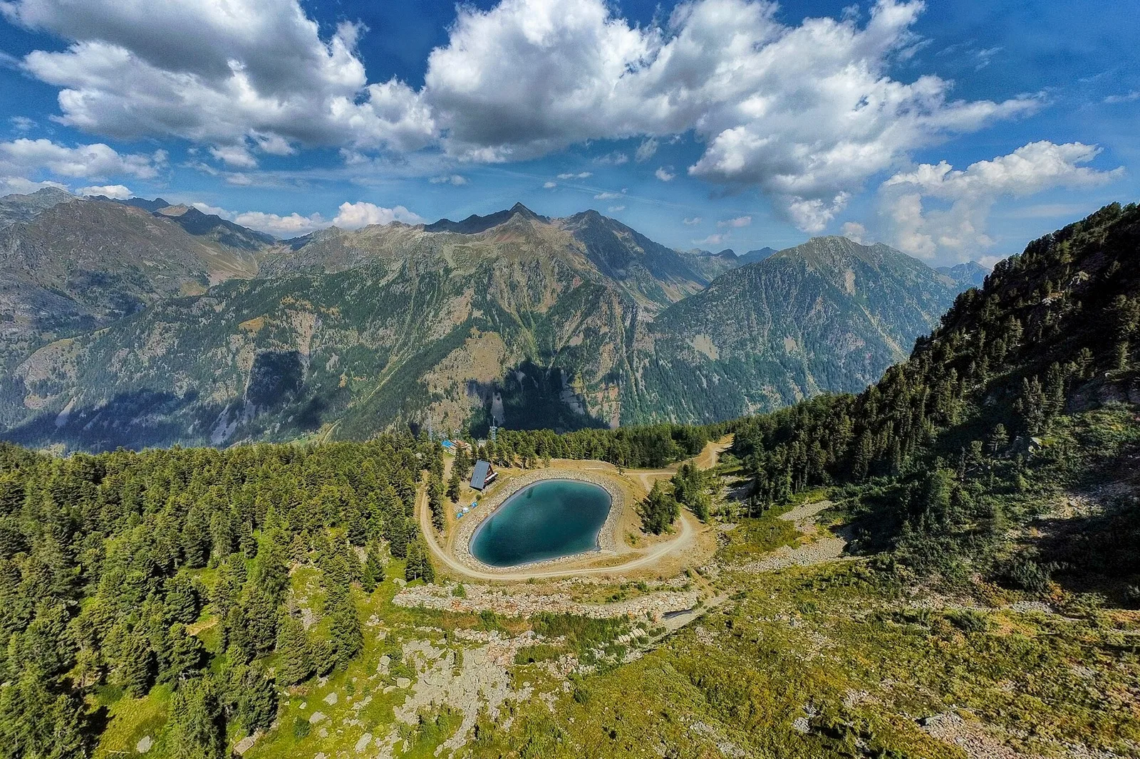
Valle del Lys
2.3 km · +498 m · E — from Arpisson to Col Chasèche (Lys Valley).

Valle del Lys
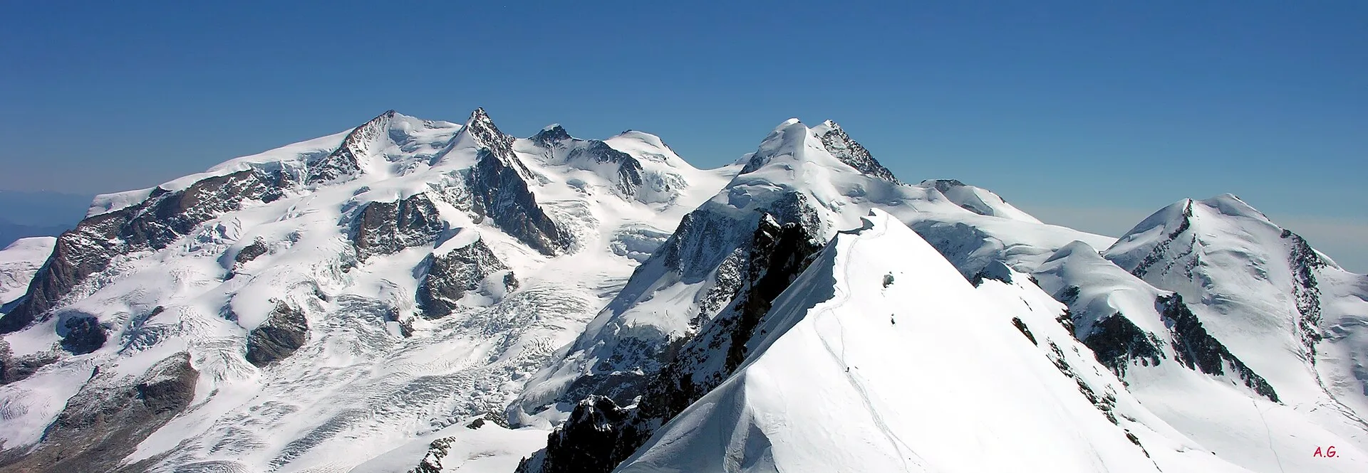
In the commune of Cogne, Gran Paradiso National Park: a climb toward a high-altitude objective in an environment of exceptional natural quality.
Valle centrale
From Blanchard (1,731 m) to the Rifugio Guide di Ayas (3,394 m): 8.8 km and 1,668 m of ascent into the high Ayas Valley, EE difficulty.
La Thuile
4.5 km · +571 m · E — from Challancin to Col de Bard (La Thuile).
Valpelline
0.7 km · +72 m · E — from Champtorné to Gortz� (Valpelline).
Valtournenche
2.7 km · +567 m · E — from Chardonney to Bec de Monpey (Valtournenche).
Valtournenche
6.7 km · +665 m · E — from Chardonney to parcheggio Dondena (Valtournenche).
Valtournenche
10.9 km · +1302 m · E — from Surrier to Col Bassac Déré (Valtournenche).
Val di Cogne
3.7 km · +1032 m · E — from Comboé (Comboué) to Becca di Nona (Cogne Valley).
Valle del Gran San Bernardo
0.9 km · +120 m · E — from Erésaz to Ravet (Great St Bernard Valley).
Valle del Lys
9.6 km · +1181 m · E — from Faubourg to Col d'Arp (Lys Valley).
Valle centrale
2.5 km · +373 m · E — from Fey to Piatolet (Central Valley).
Val d'Ayas
2.8 km · +497 m · T — from Pasquier to La Croix (Ayas Valley).
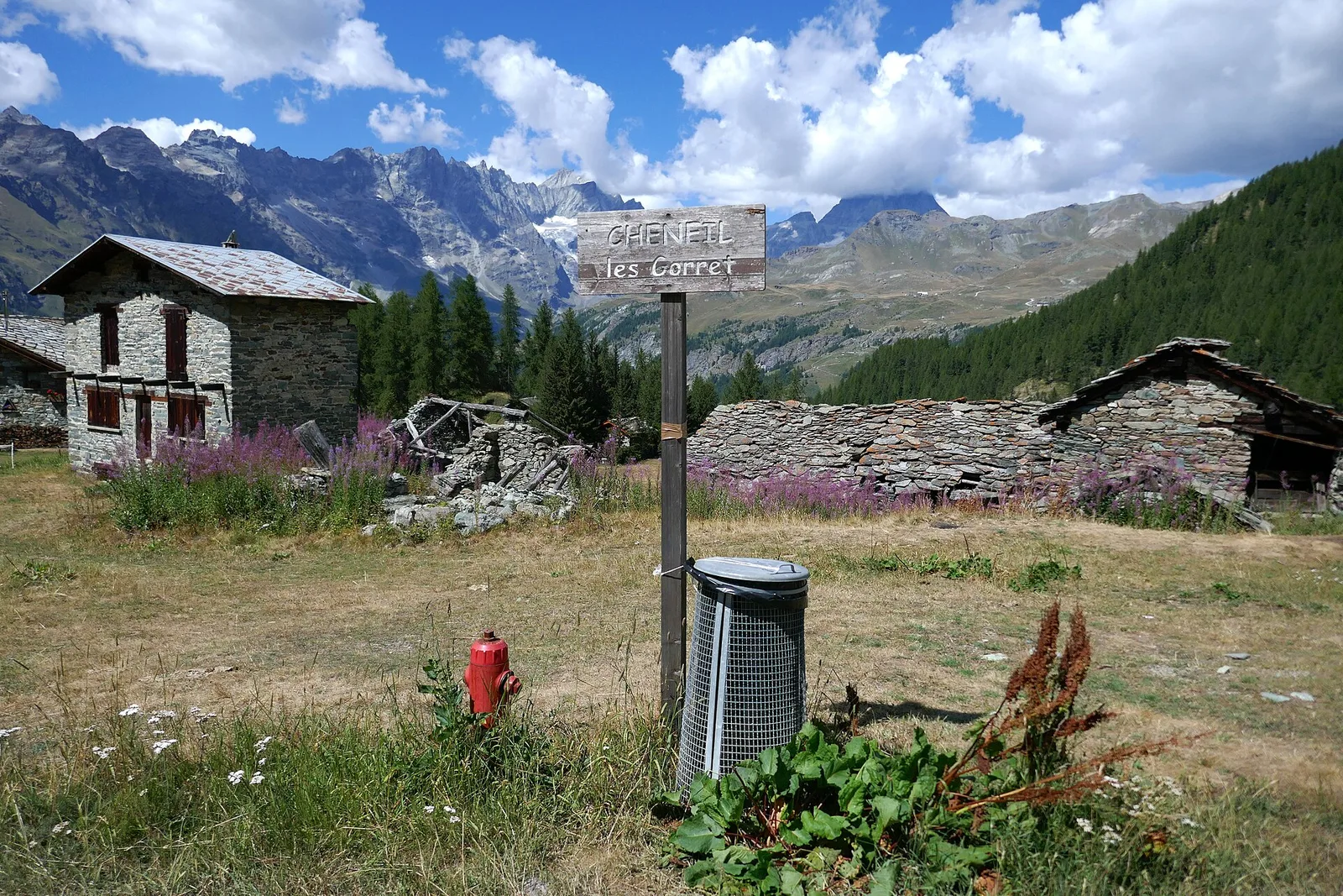
Val d'Ayas
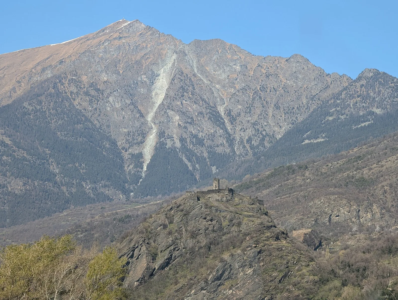
From the medieval castle ruins at Graines (1,398 m) to the Col de Frudière (2,266 m) in Val d'Ayas: 7.7 km blending history and open alpine landscape.
Valle del Lys
9.2 km · +1563 m · E — from Closé to Colle Vessona (Lys Valley).
Valle del Lys
9.1 km · +1362 m · EE — from Le Crin to Col Fussy (Lys Valley).
Valle centrale
3.3 km · +259 m · T — from Liarey to Chabodey (La Salle) (Central Valley).
Valle centrale
2.3 km · +592 m · E — from Lillianes to Sainte-Marguerite (Central Valley).
Valle centrale
2.4 km · +397 m · E — from Mont-Bardon to Miollex desot (Central Valley).
Valtournenche
8.8 km · +1603 m · E — from Monteil to Lac Liet (Valtournenche).
Valle centrale
3.7 km · +317 m · E — from Paquier to Champleve (Central Valley).
Valtournenche
1.4 km · +381 m · EE — from Petit-Rosier to Col de Poussauel (Valtournenche).
Valle centrale
4.8 km · +0 m · E — from Plan to Berzin (Central Valley).
Valpelline
2.1 km · +506 m · E — from Praz to La Fenetre (Valpelline).

Valtournenche
1.6 km · +341 m · E — from Rifugio Bezzi to Lac Vert (Valtournenche).
Valtournenche
9.4 km · +691 m · E — from Rifugio Bezzi to Rif. Chalet de l'Epée (Valtournenche).
Valle del Gran San Bernardo
5.7 km · +903 m · E — from Rif . Bonatti to Col Malatr� (Great St Bernard Valley).
Valle del Gran San Bernardo
0.8 km · +34 m · T — from Saint-Oyen to Pallais dessous (Great St Bernard Valley).
Valle di Champorcher
4 km · +700 m · E — from Varesa to Santuario di Retempio (Champorcher Valley).
Valle del Lys
12.1 km · +1236 m · E — from Les Sergnoux to Rey (Lys Valley).
Valtournenche
15 km · +0 m · E — from Capoluogo to Crest (Valtournenche).
Valdigne
21.1 km · +0 m · E — from Châtillon to Verrès (Valdigne).
Valtournenche
4.8 km · +1099 m · E — from Capoluogo to Alpeggio Verdignolettaz (Valtournenche).
Valtournenche
1.4 km · +312 m · T — from Piazza R.Challand to Croix de Saint-Gilles (Valtournenche).
Valle centrale
9 km · +1685 m · E — from Villair to Col de Licony (Central Valley).
Valle di Champorcher
3.5 km · +533 m · E — from Weissmatten to Passo Frudière (Champorcher Valley).