
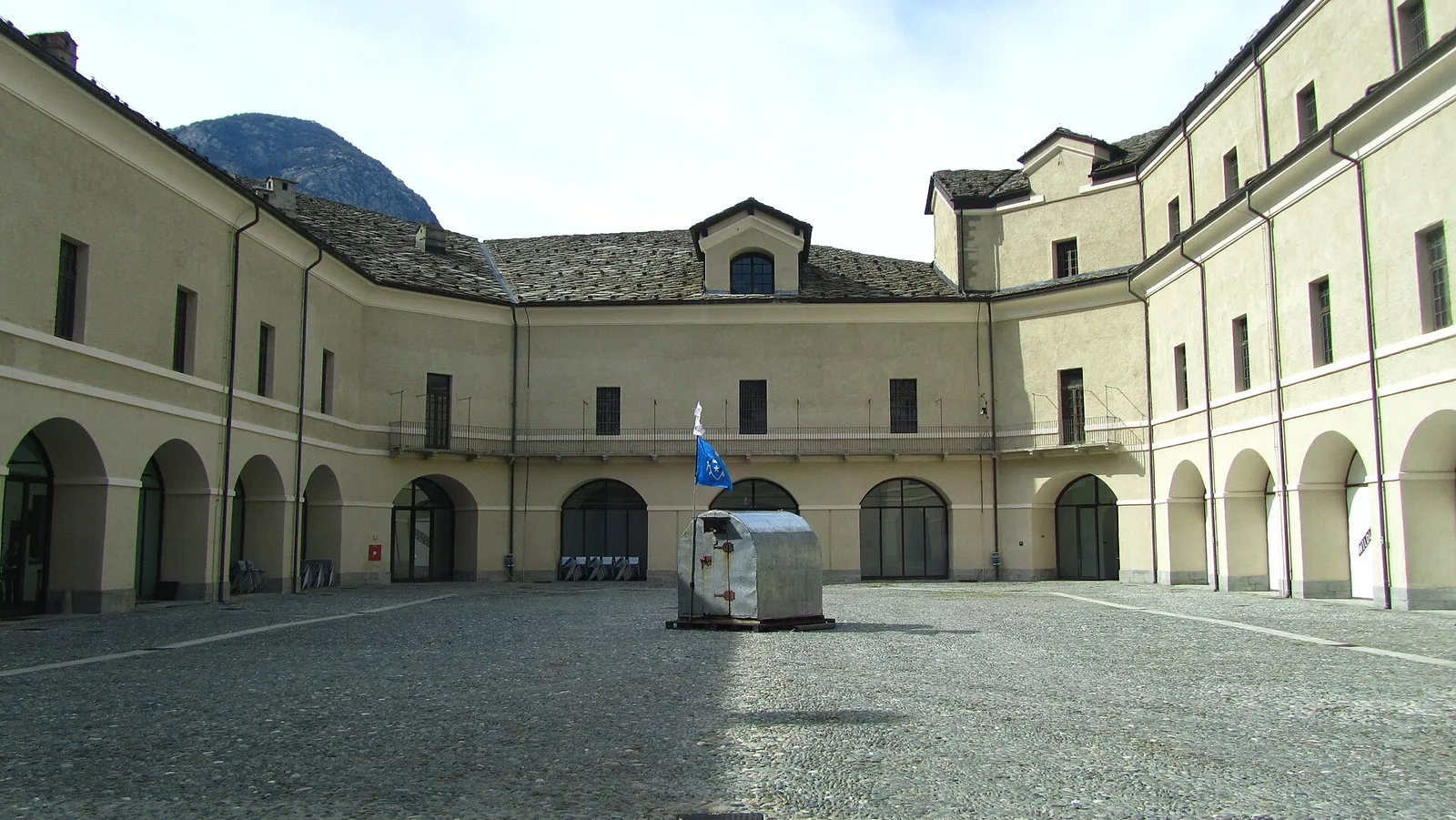
EEA
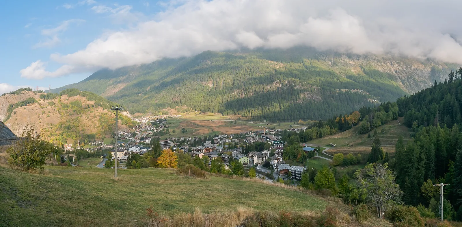
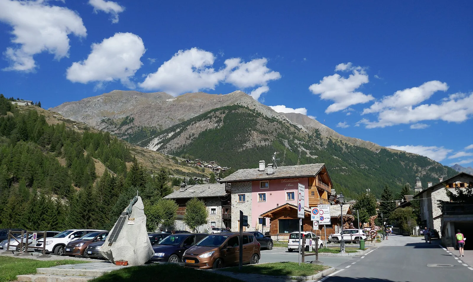
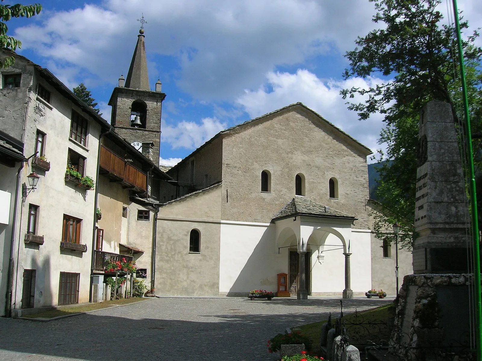
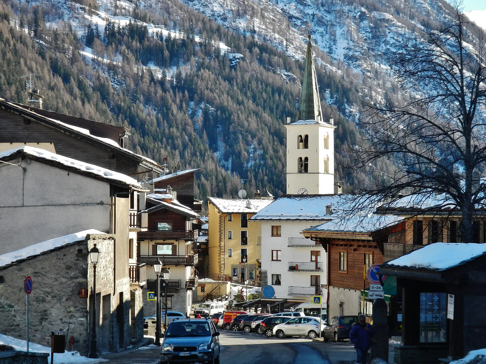
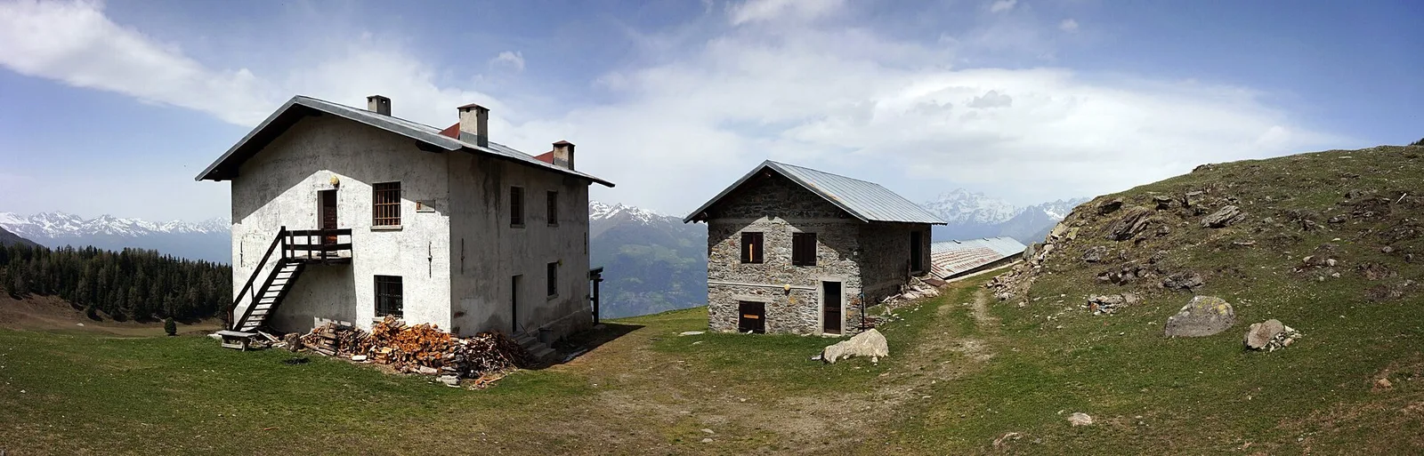
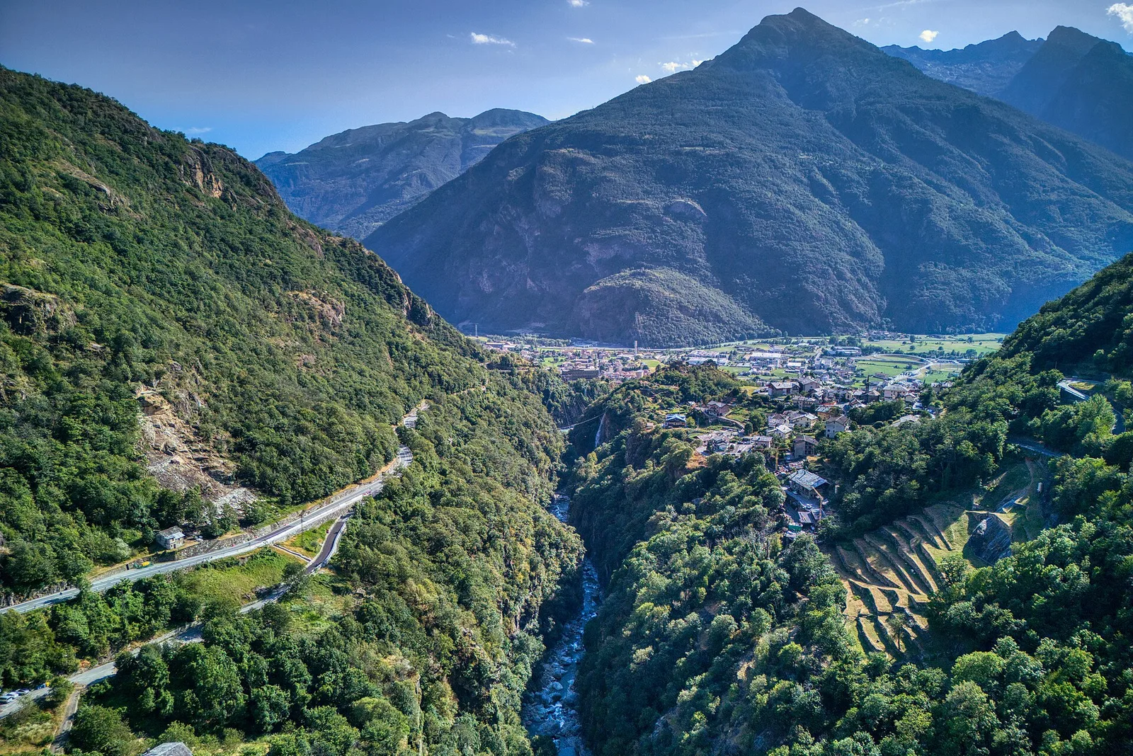
Valle del Gran San Bernardo
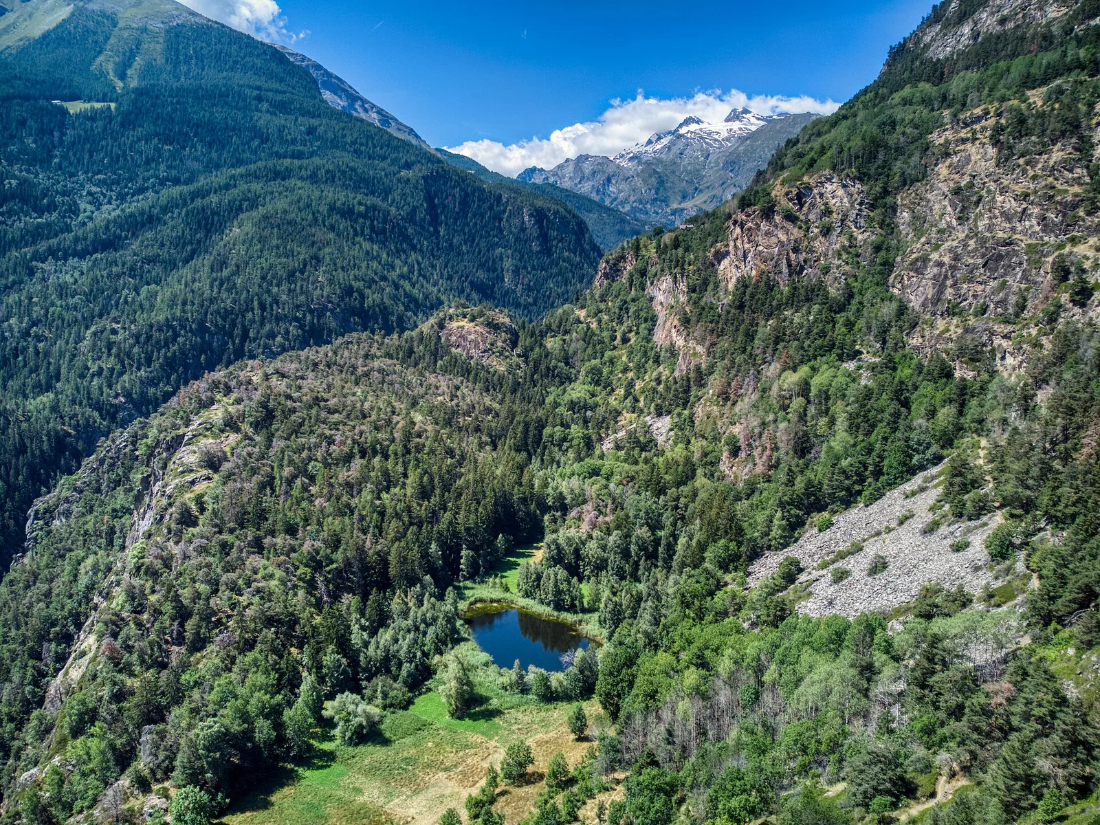
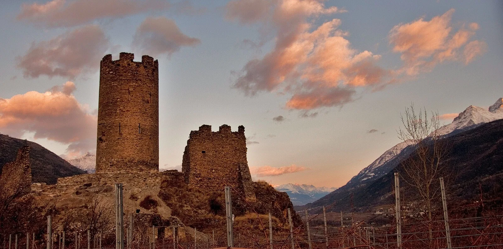
Anello dei Gemelli della Mologna
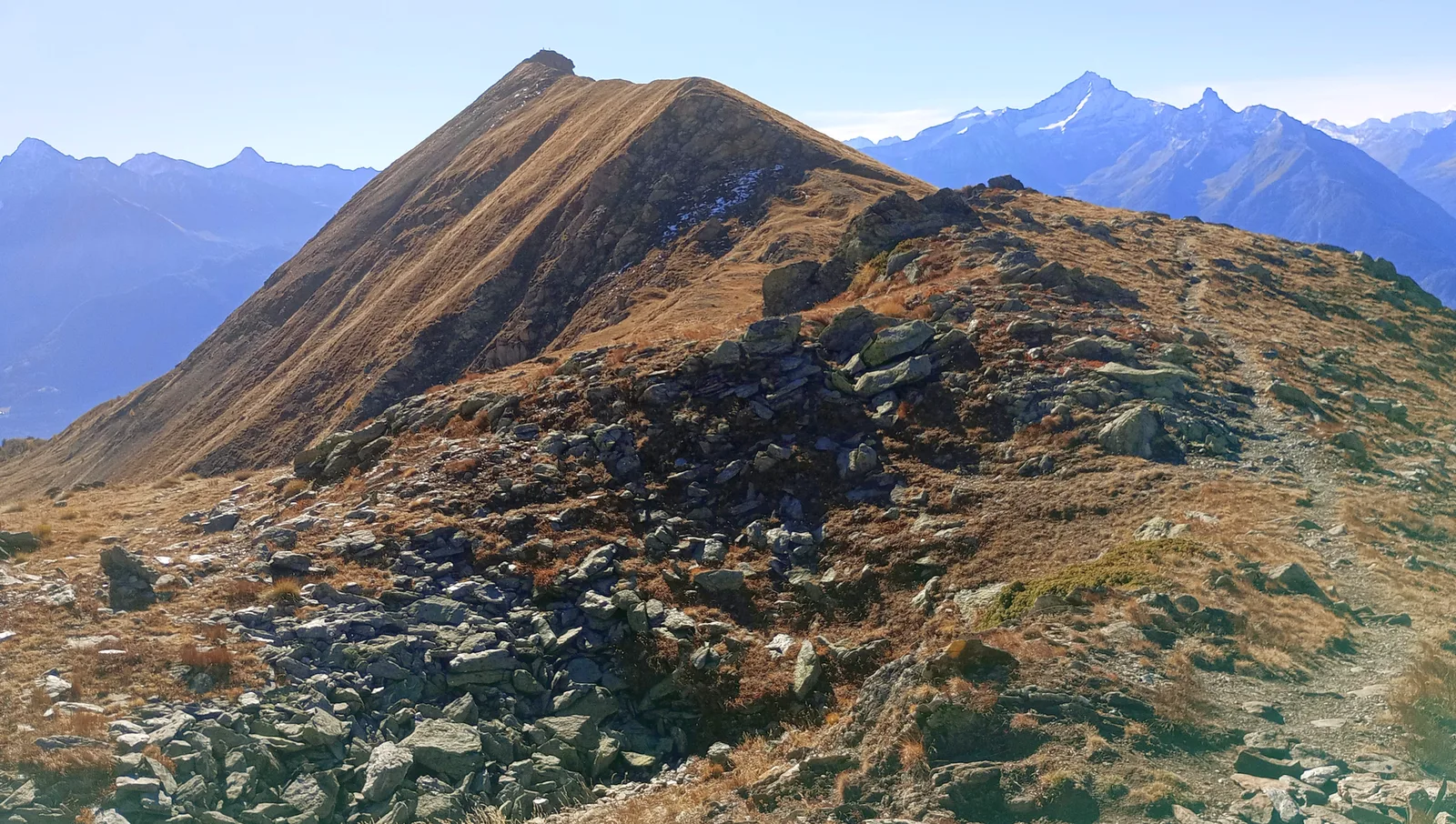
8.9 km · +996 m · EEA — from Niel to Niel (Great St Bernard Valley).
8.9 km+996 m4.5 h
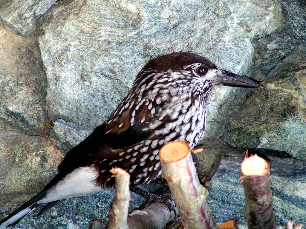
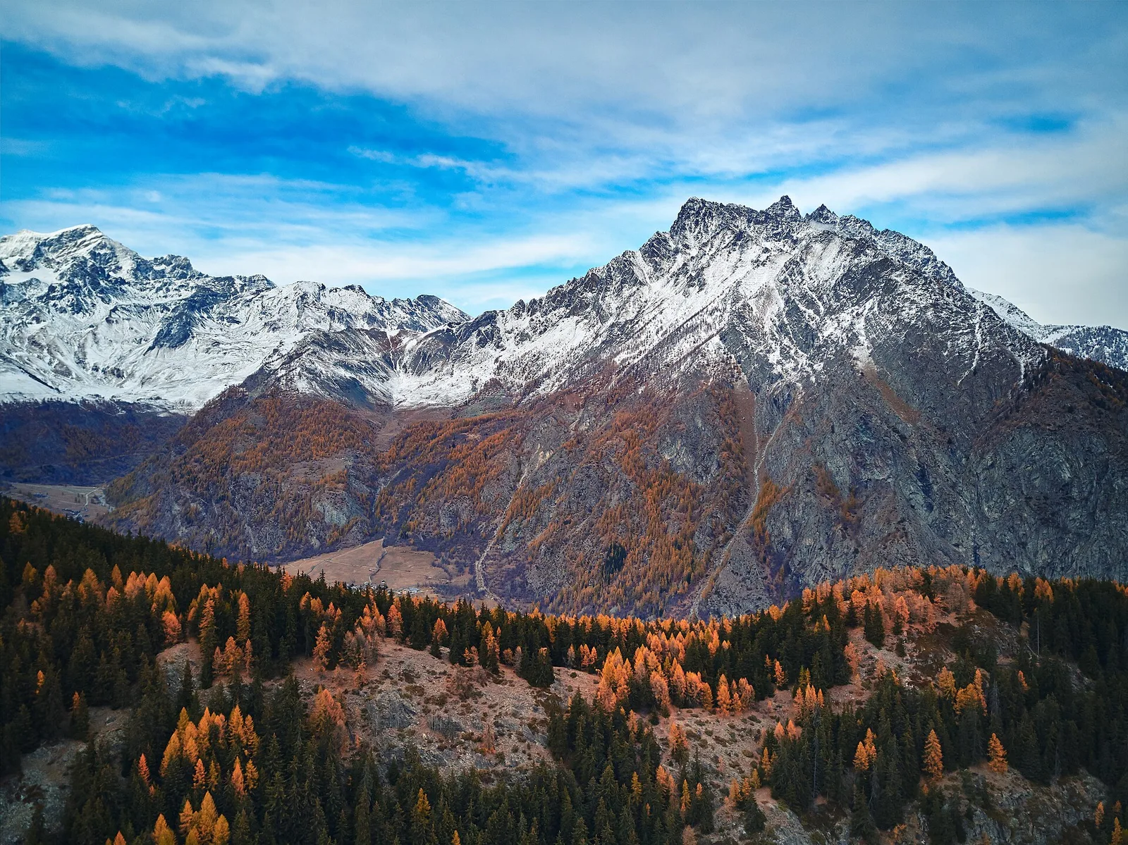
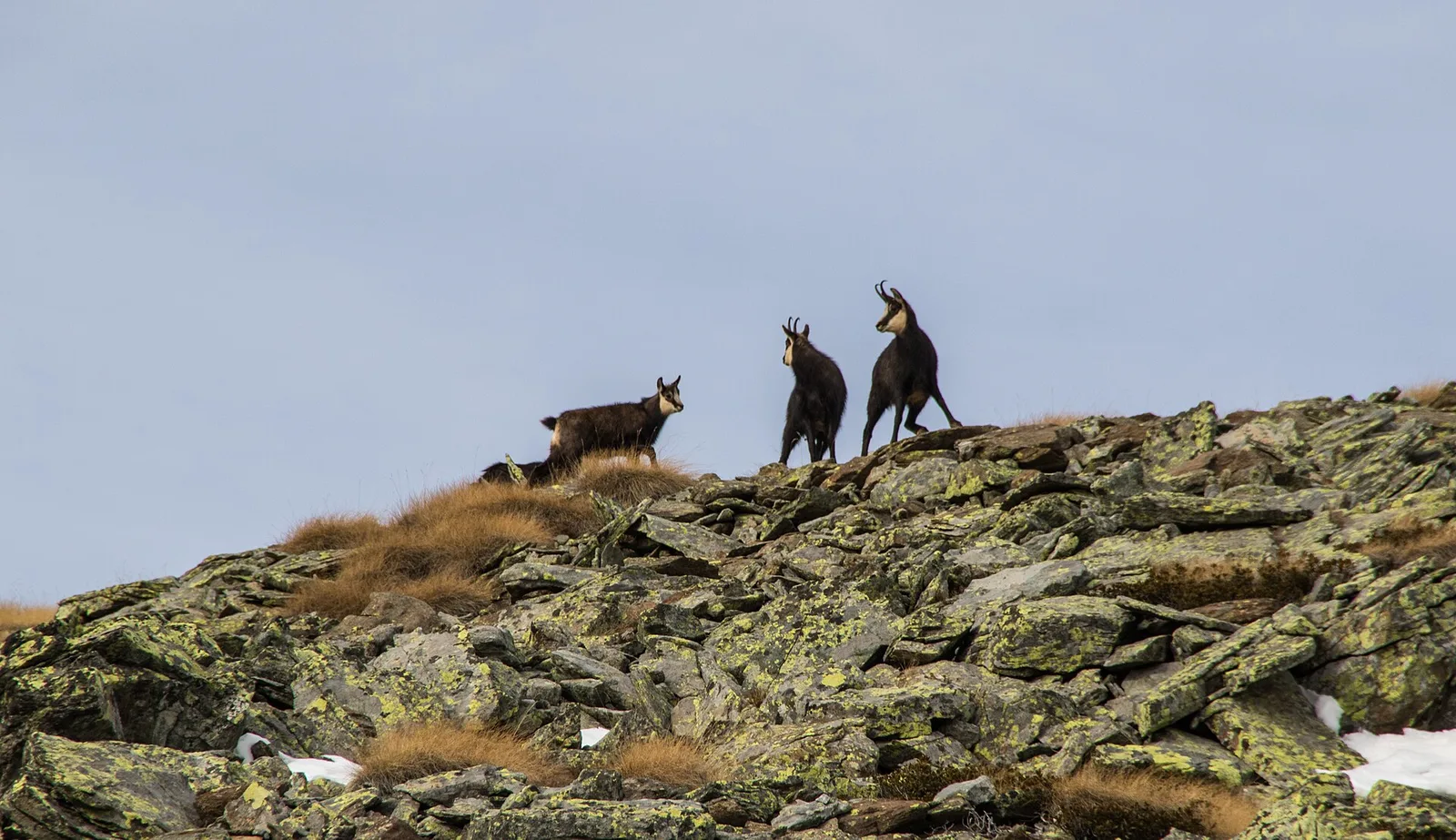
Where to spot
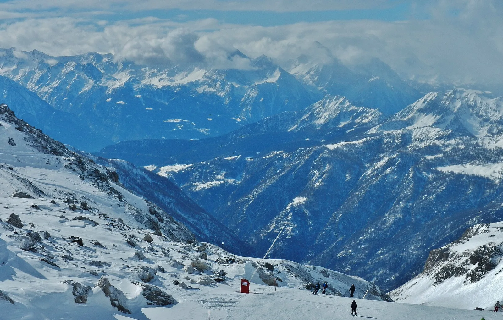
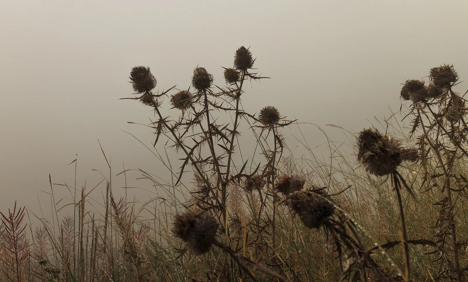
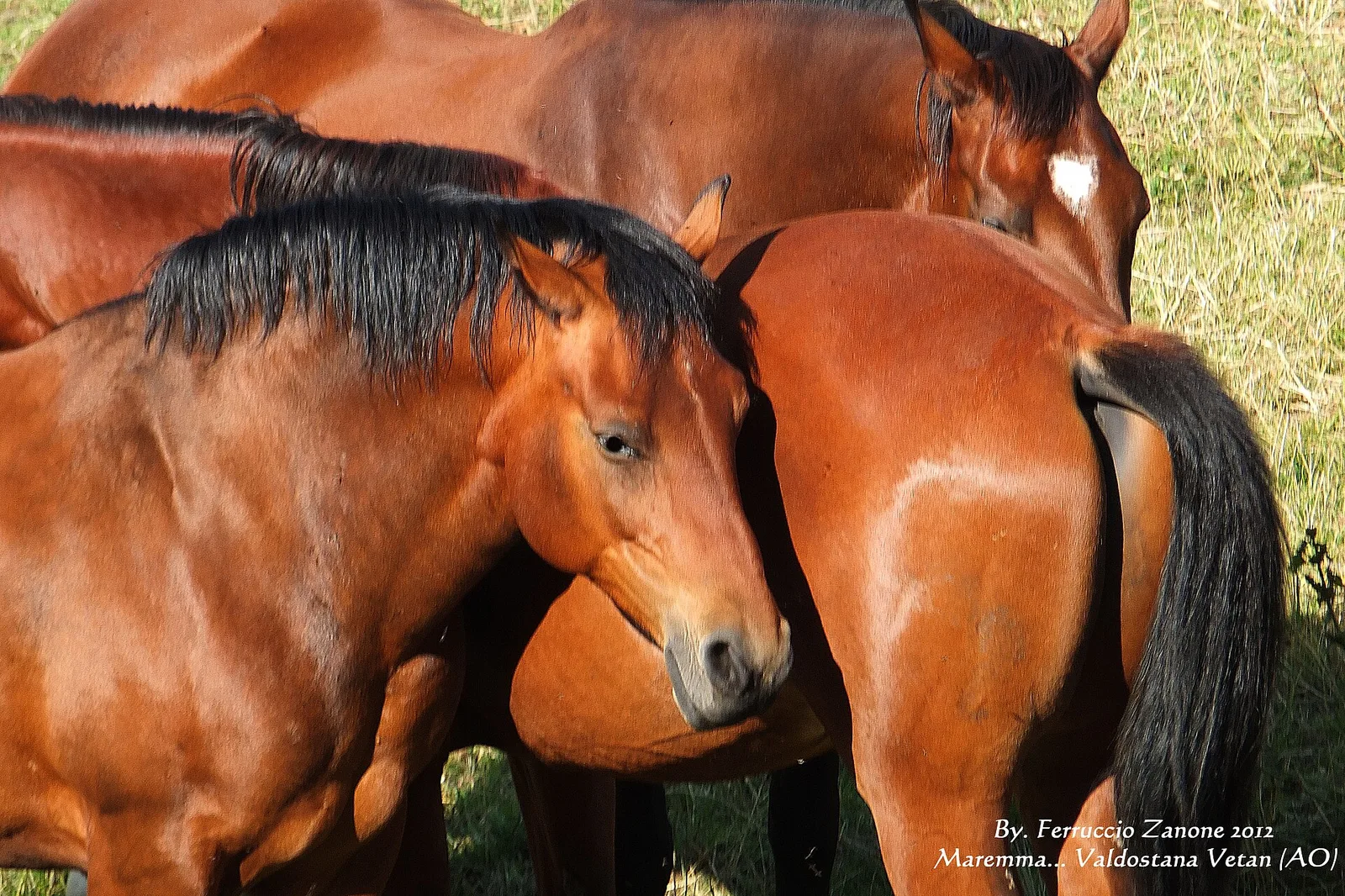
65 trails where Mouflon is listed in flora/fauna: difficulty T–EEA, elevation gain 0–1737 m.
65 · 1.2–12.9 km · +0–1737 m
Valle del Gran San Bernardo
8.9 km · +996 m · EEA — from Niel to Niel (Great St Bernard Valley).

Val d'Ayas
1.6 km · +137 m · E — from Arbaz to Miniera di Bechaz (Ayas Valley).
Val d'Ayas
1.9 km · +78 m · E — from Arbaz to Mont d'Arbaz (Ayas Valley).
Valle del Gran San Bernardo
2.9 km · +477 m · E — from Ayez to Genevrey (Great St Bernard Valley).
Val di Cogne
From Aymavilles Moulin (653 m) to Petit Poignon (1562 m) along the Gran Paradiso Park edge: mixed woodland, clearings, and wildlife. 6.2 km, +926 m, E.
Valle centrale
5 km · +1265 m · E — from Strada Barbustel to Mont Barbeston (Central Valley).
Valle centrale
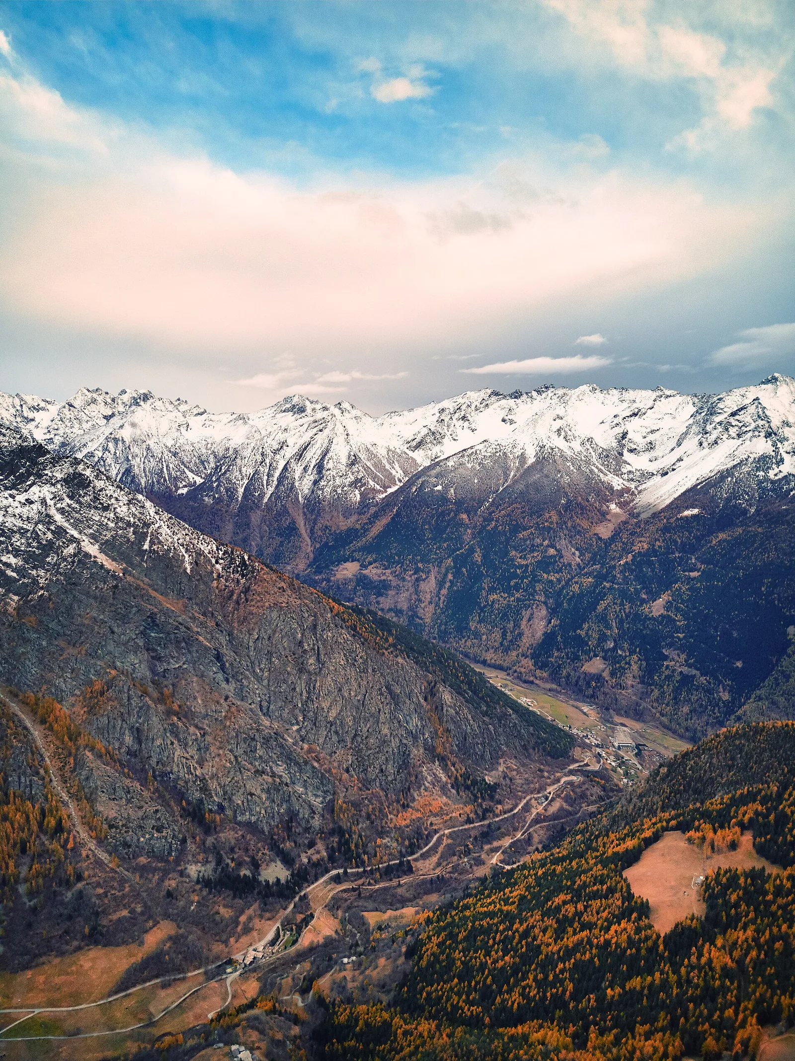
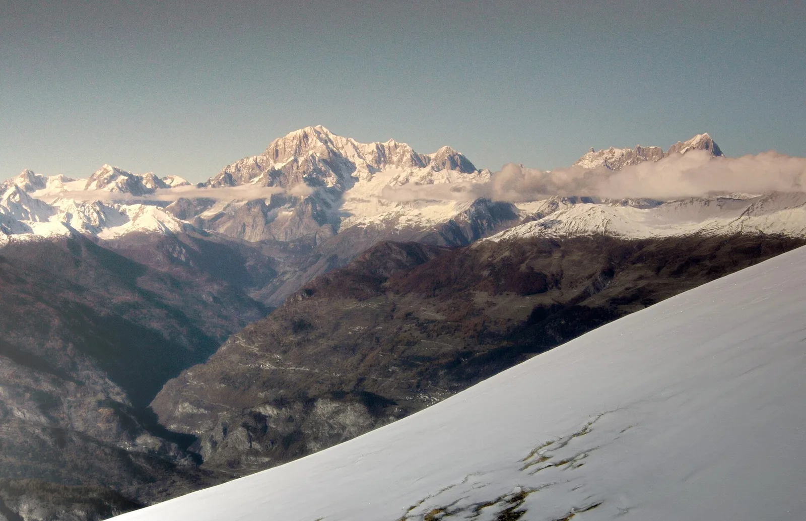
From Blanchard (1731m) to Colle Superiore Cime Bianche (2985m): 8.5 km E with panorama over Gran Paradiso, Rosa, Matterhorn and Mont Blanc. Natura 2000 area between Val d'Ayas and Valtournenche.
Valpelline
3.7 km · +500 m · E — from Blavy to Grandzette (Valpelline).
Valdigne
2 km · +275 m · E — from Cerellaz to Vedun (Valdigne).
Valdigne
A steady climb in the Valdigne from Charbonnière (1,271 m) to Vedun (1,519 m) in the municipality of La Salle: 3.5 km, 380 m ascent.
Valdigne
In the Valdigne, La Salle: an E-rated climb toward upper slope zones with views of Mont Blanc.
Valle del Lys
1.5 km · +89 m · T — from Chenière to Moulin (Lys Valley).
Valle del Lys
1.7 km · +446 m · E — from Chevrère to Poignon (confine comunale Villeneuve) (Lys Valley).
Valle centrale
5.9 km · +600 m · E — from Cleva de la Seya to Cleva de la Seya (Central Valley).
Valle del Lys
9 km · +1272 m · E — from Capoluogo to Col des Orgères (Lys Valley).
Valpelline
1.3 km · +270 m · E — from Créton to Arp du Bois (Valpelline).
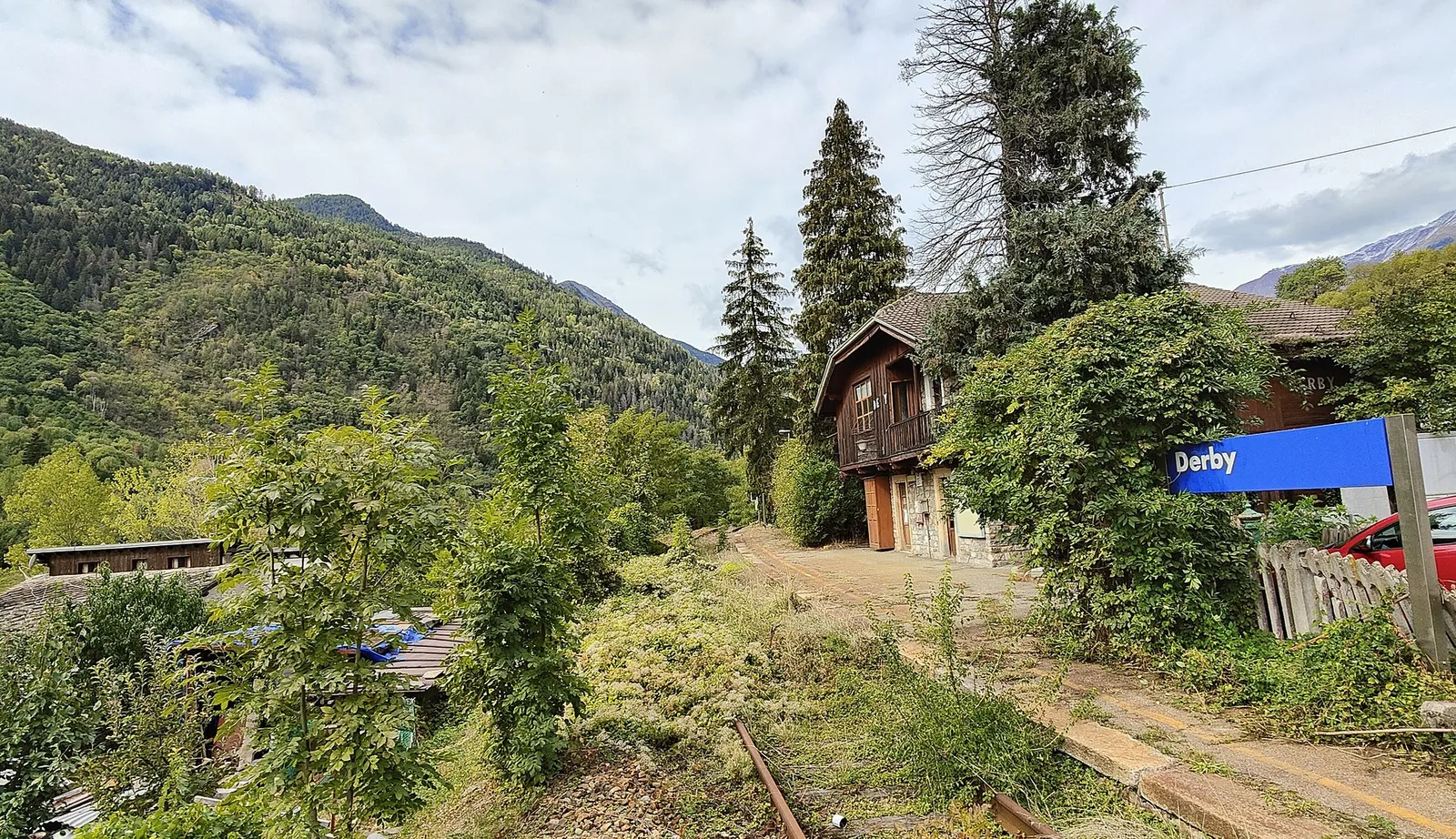
La Thuile
5.2 km · +715 m · E — from Derby, Chiesa to Lazey (La Thuile).
La Thuile
5.2 km · +578 m · E — from Echarlod to Vedun (confine comunale Avise) (La Thuile).
Valle del Lys
1.4 km · +0 m · E — from Epinel to Str.Regionale.Cretaz (Lys Valley).
Val d'Ayas
5.1 km · +233 m · T — from Fenille to Degioz (Ayas Valley).
Valle centrale
1.5 km · +313 m · E — from Fossaz to Fournaise (Central Valley).
Valle del Gran San Bernardo
2.7 km · +496 m · E — from Gaby to Bounitzon (Great St Bernard Valley).
Valtournenche
2.7 km · +540 m · EE — from Gontier to Col d'Arcomy (Valtournenche).
Valtournenche
In the commune of Antey-Saint-André, Valtournenche: an E-rated route between hamlets and pastures on the sunny slope.

Valpelline
2.8 km · +376 m · E — from Confine Comunale Antey -Torgnon to Fontin Dameun (Valpelline).
Valtournenche
In the commune of Torgnon, Valtournenche: a panoramic route through forest, pastures and hamlets of the Aosta Valley mid-mountain.
Valle del Gran San Bernardo
1.8 km · +163 m · E — from La Palud to Planpincieux (Great St Bernard Valley).
Valsavarenche
4.8 km · +1134 m · E — from La Raffort - Centrale to Cormoney (Valsavarenche).
Valgrisenche
2 km · +207 m · E — from La Ravoire to Castello di Montmayeur (Valgrisenche).
Valle del Gran San Bernardo
1.5 km · +308 m · EE — from La Saxe to Belvedere (Great St Bernard Valley).
Valle del Lys
8.9 km · +968 m · E — from La Thuile, Thovex to Rifugio Deffeyes (Lys Valley).
Valgrisenche
5.9 km · +802 m · E — from Thouraz to Lago Fallère (Valgrisenche).
Valle del Lys
3.5 km · +770 m · E — from Le Crin to Grand Bellalanaz (Lys Valley).
Valle centrale
2 km · +449 m · E — from Loz (parcheggio) to Alpe Mandaz Inferiore (Central Valley).
Valle del Lys
5.2 km · +1204 m · EE — from Maisonnasse to Col de Raye Chevrère (Lys Valley).
Valle centrale
2.3 km · +427 m · E — from Mayen to Pâquier (Cré-du-Pont) (Central Valley).
Valle del Gran San Bernardo
3.9 km · +952 m · EE — from Niel to Punta dei Tre Vescovi (Great St Bernard Valley).
Valpelline
1.2 km · +140 m · E — from Nus to Chateau de Nus (Valpelline).
Valtournenche
3.9 km · +1057 m · E — from Omens to Bec de l'Oie (Valtournenche).
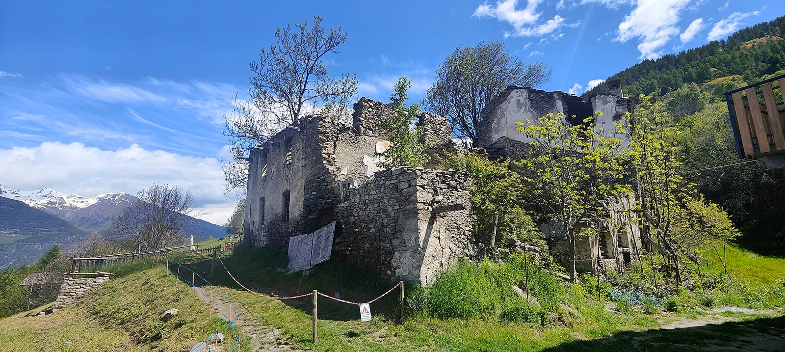
Val di Cogne
From Ozein, the ascent to Pointe de la Pierre climbs through forest, pastures and open alpine terrain to 2642 m, a classic viewpoint over the Pila basin and Val di Cogne.
Val di Cogne
1.4 km · +137 m · E — from Ozein to Strada per Torlin (Cogne Valley).
Valle del Lys
6.3 km · +643 m · E — from Parcheggio Area camper to Souches (Lys Valley).
Val d'Ayas
3.1 km · +425 m · E — from Paysan to Miniere di Bechaz (Ayas Valley).
Valle del Lys
4.8 km · +398 m · E — from Pila to Plan de l'Eyvie (Lys Valley).
Val d'Ayas
1.2 km · +160 m · E — from Pilaz to Fontaines de Goillaz (Ayas Valley).
Valtournenche
3.9 km · +896 m · E — from Pingaz to Torlin dessus (Valtournenche).
Valle del Lys
6.9 km · +1393 m · E — from municipio Pollein to Arpisson (Lys Valley).
Valle del Lys
8.2 km · +936 m · E — from Pommier to Plan Clavalité (Lys Valley).
Valle del Gran San Bernardo
6.8 km · +1257 m · E — from Pra Sec to Colle Battaglione Aosta (Great St Bernard Valley).
Valtournenche
5.5 km · +1218 m · E — from Pramotton to Fontanet (Valtournenche).
Valle centrale
6.3 km · +1304 m · E — from Saint-Léonard to Mont Flassin (Central Valley).
Valle del Gran San Bernardo
2.7 km · +185 m · E — from Saint-Oyen to Saint-Léonard (Great St Bernard Valley).
Valle centrale
4.8 km · +1070 m · E — from Saint-Roch to La Borney (Central Valley).
Valle centrale
3.8 km · +1070 m · E — from Saint-Roch to La Borney (Central Valley).
Valle centrale
5.6 km · +1100 m · E — from Strada regionale per Arpy to Croix du Folliet (Central Valley).
Valtournenche
12.9 km · +1737 m · E — from Bourg to Sassa (Valtournenche).
Valle centrale
12.6 km · +1160 m · E — from Arnad to Challand-Saint-Victor (Central Valley).
Valle del Gran San Bernardo
5.7 km · +1091 m · E — from Toffo (Montjovet) to Sommarèse (Great St Bernard Valley).
Valtournenche
4.2 km · +582 m · E — from Valgrisenche to Arp Vieille (Valtournenche).
Valtournenche
4.1 km · +598 m · E — from Capoluogo to Billiouque (Valtournenche).
Valtournenche
6.1 km · +1467 m · E — from Montcorvé to Col Arpeyssaou, biv. La Lié (Valtournenche).

Valdigne
In the commune of La Salle, Valdigne: an accessible route through forest and vineyards toward upper hamlets.
Valle centrale
3 km · +279 m · E — from Veulla to Ruderi Alto Forno (Central Valley).
Valle del Gran San Bernardo
1.8 km · +249 m · EE — from Villair to Belvedere (Great St Bernard Valley).
Valle centrale
7.3 km · +909 m · E — from Villeneuve to Petit Poignon (Central Valley).