
EE
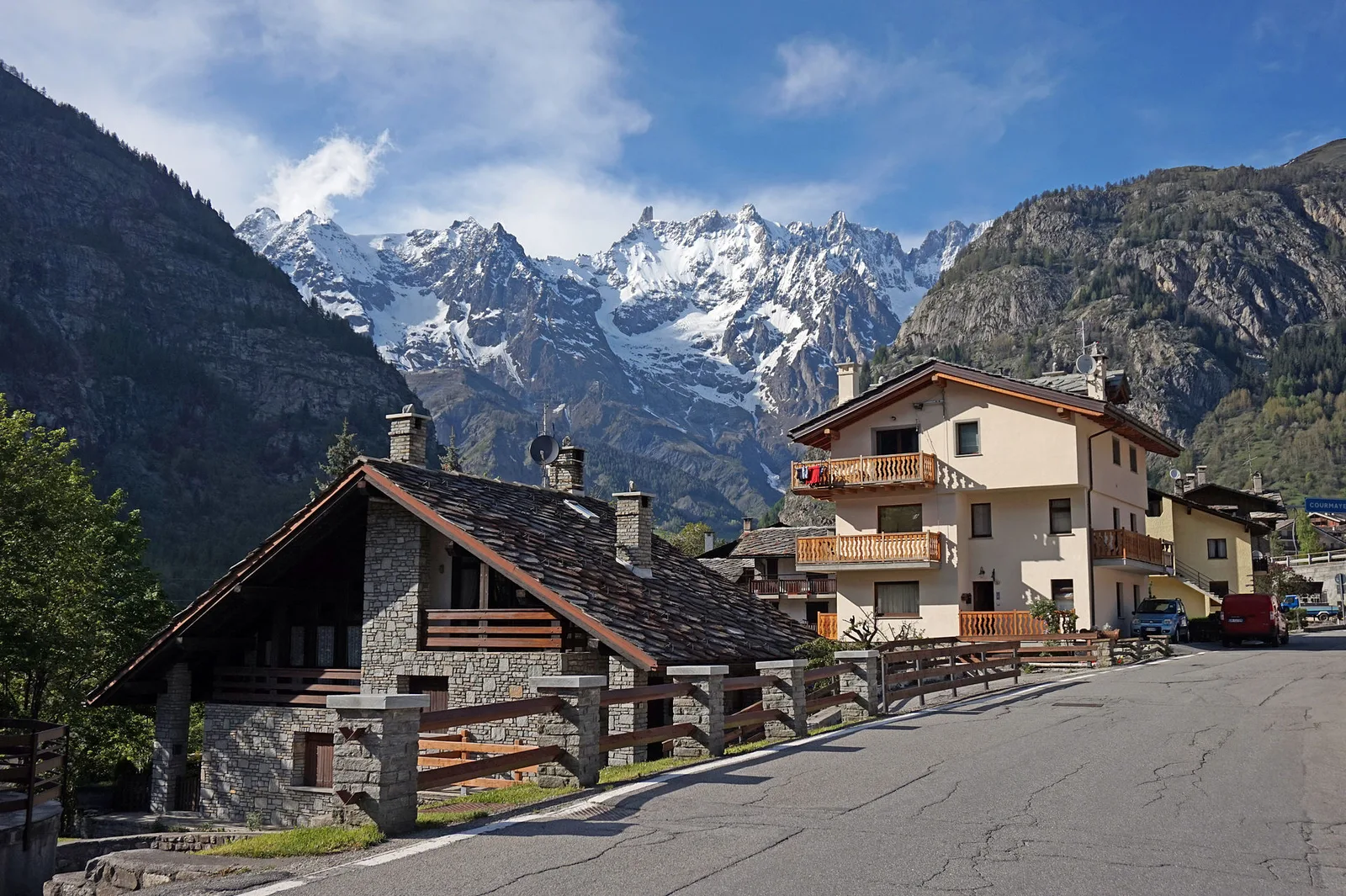
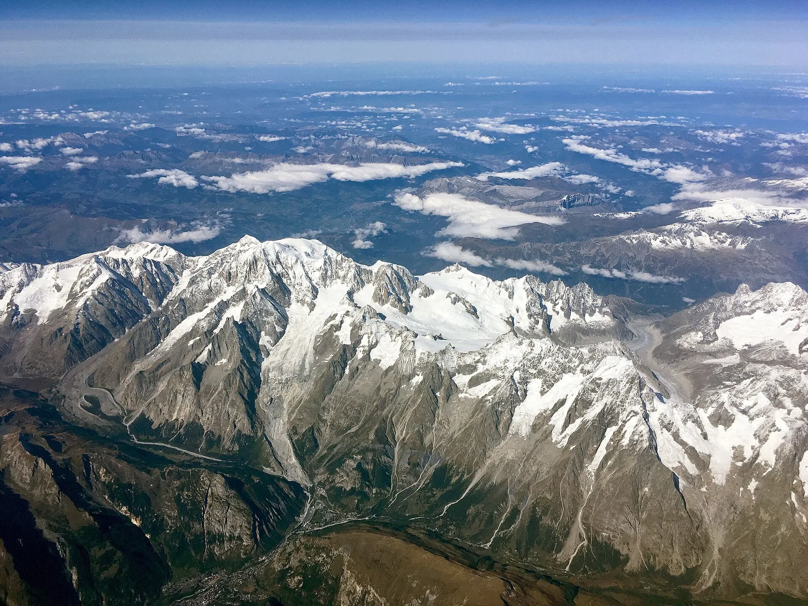
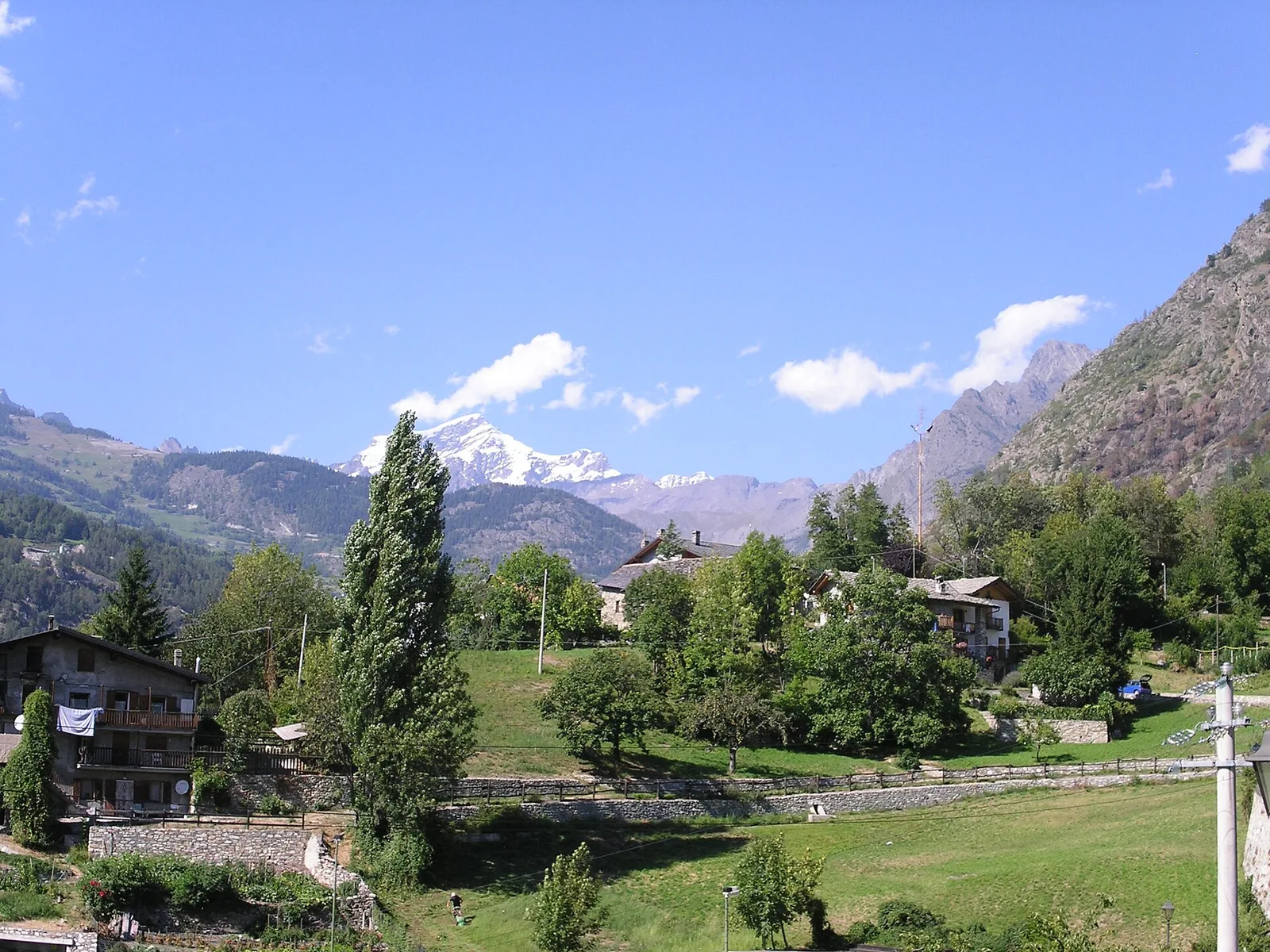
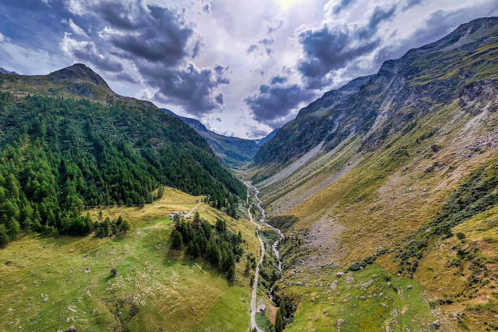
Valle centrale
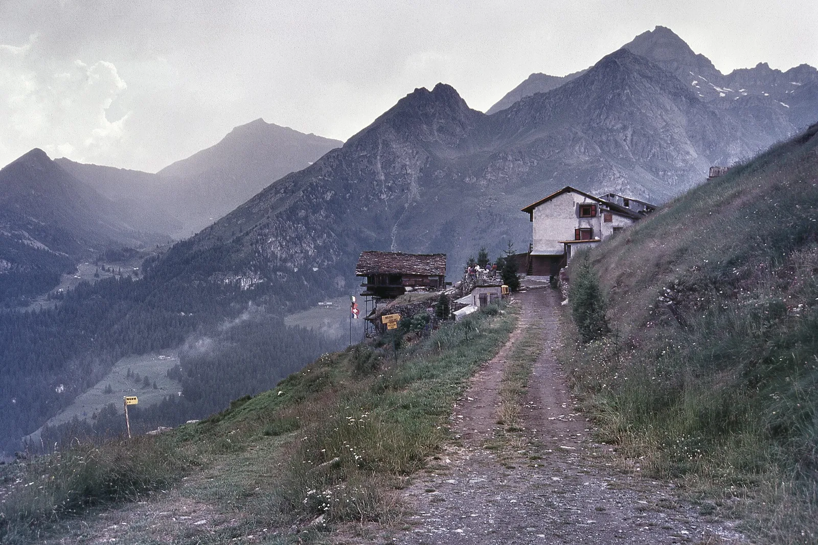
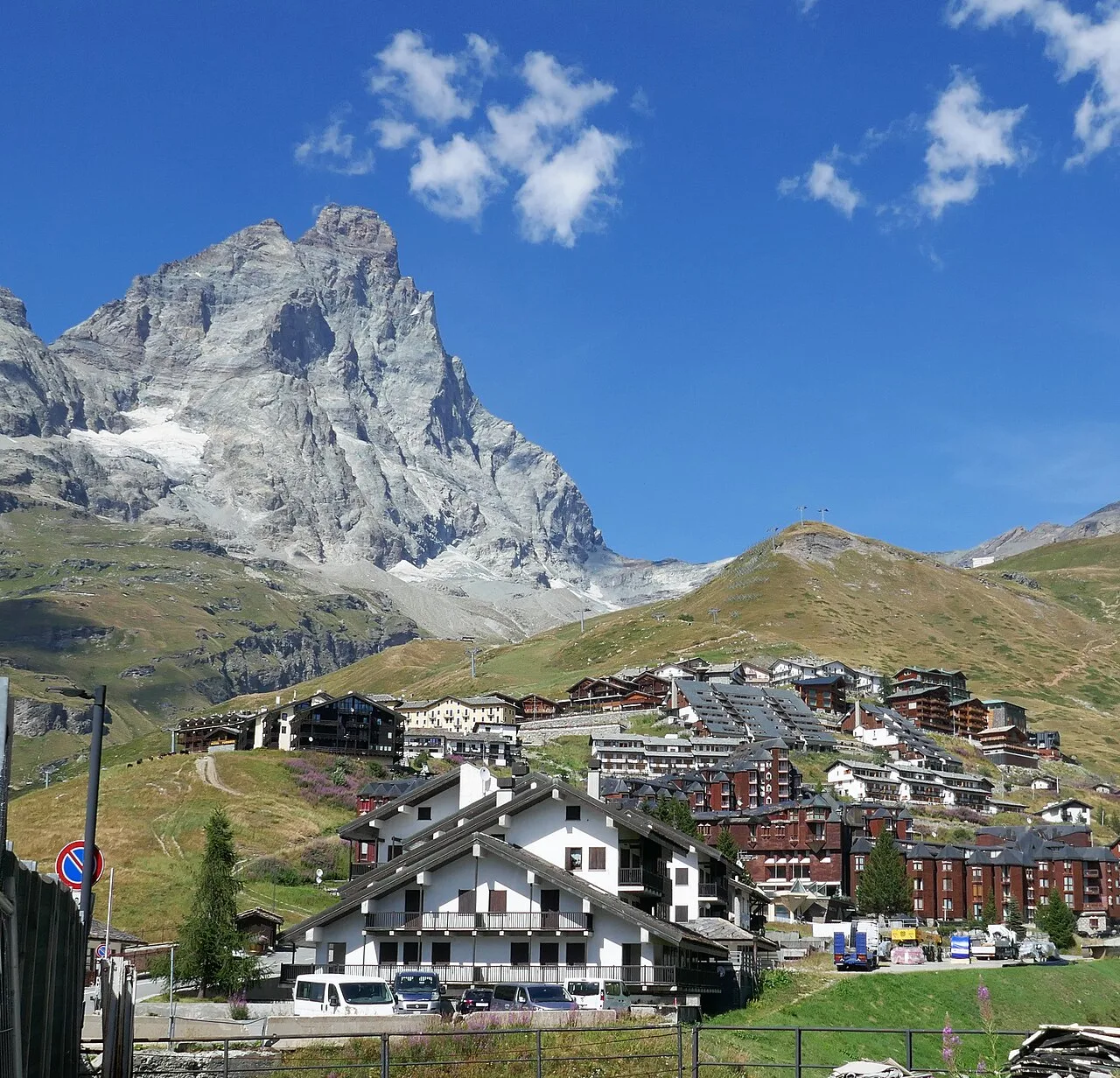
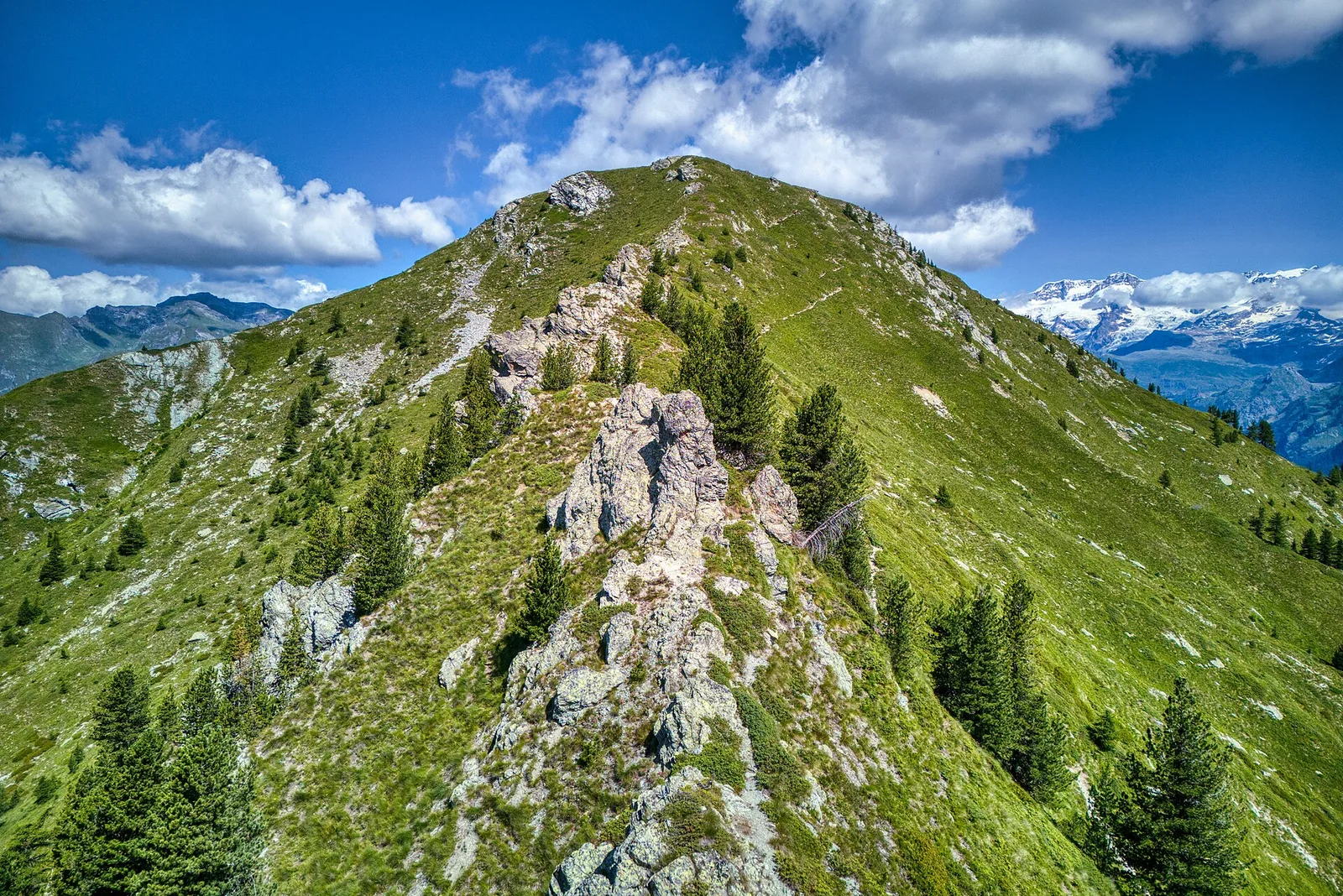
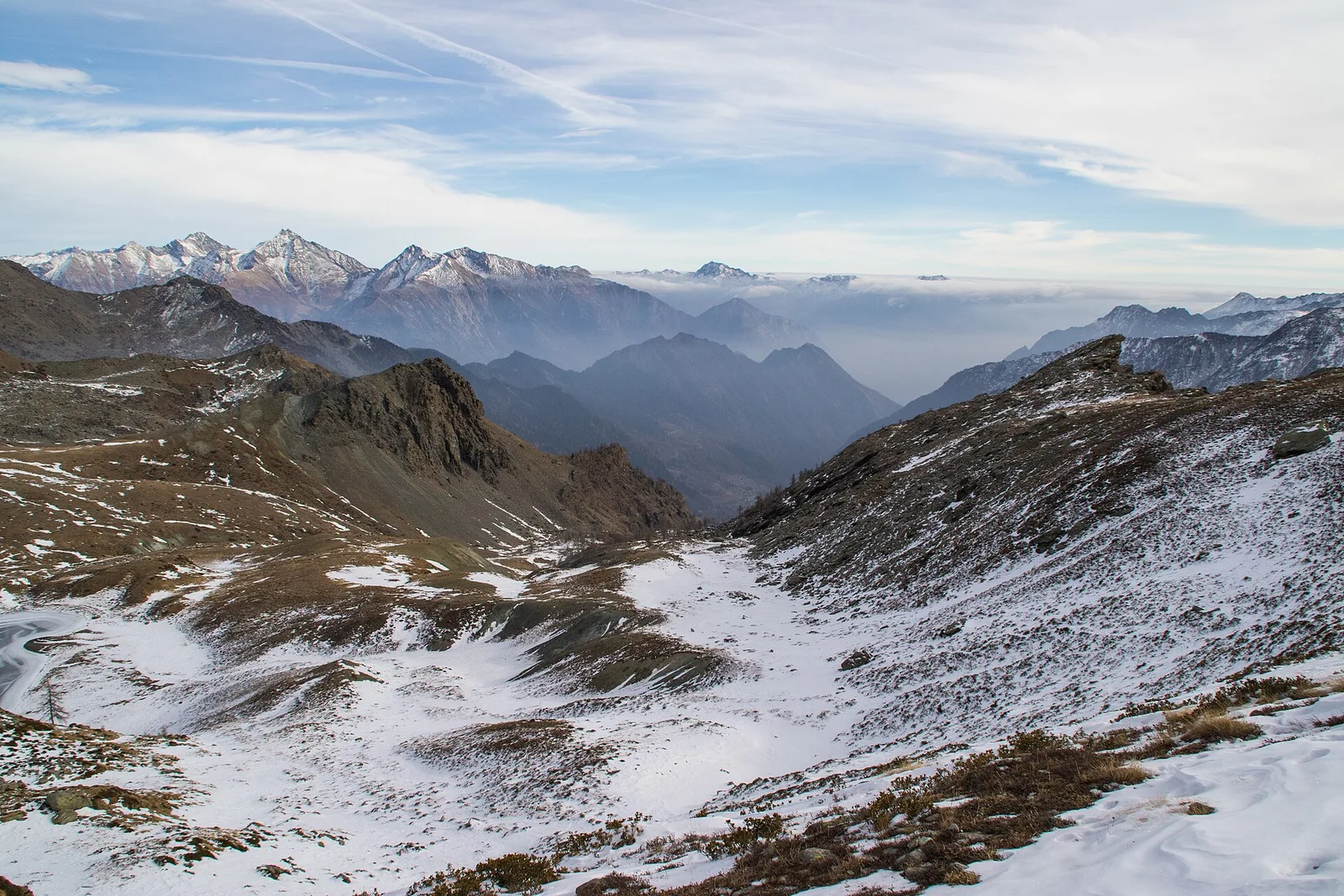
Amponey - Becca Trecare
A demanding EE ascent from Amponey to Becca Trecare at 3032m — nearly 1500m of gain on varied terrain with sweeping summit views.
7.5 km+1488 m5.5 h
Where to spot
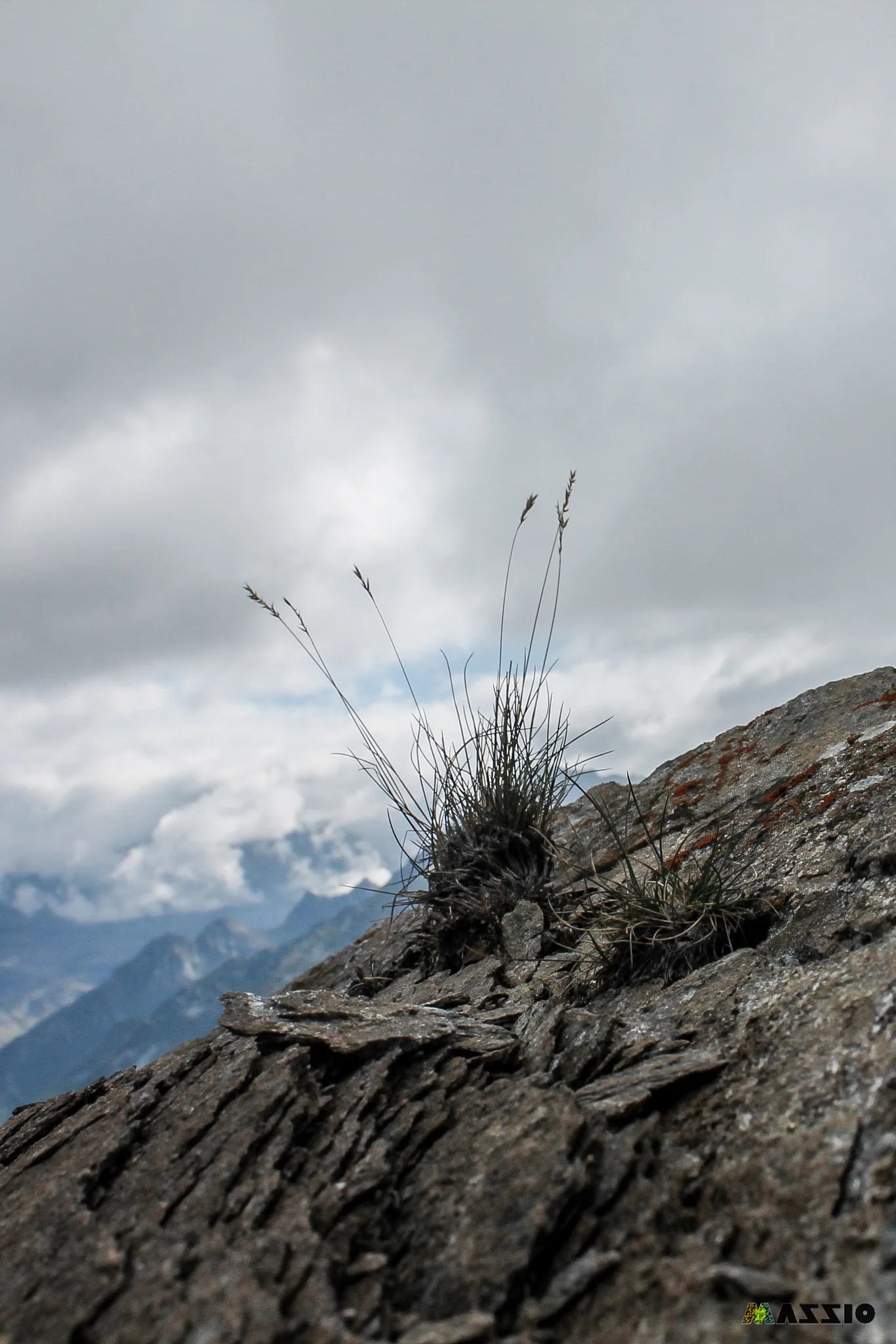
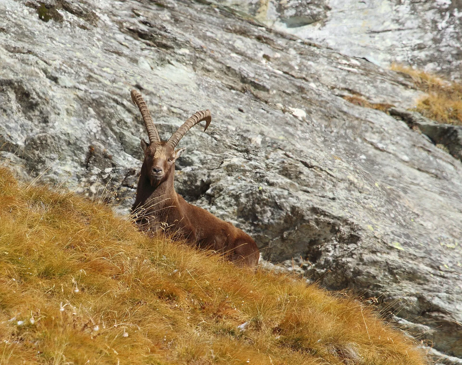
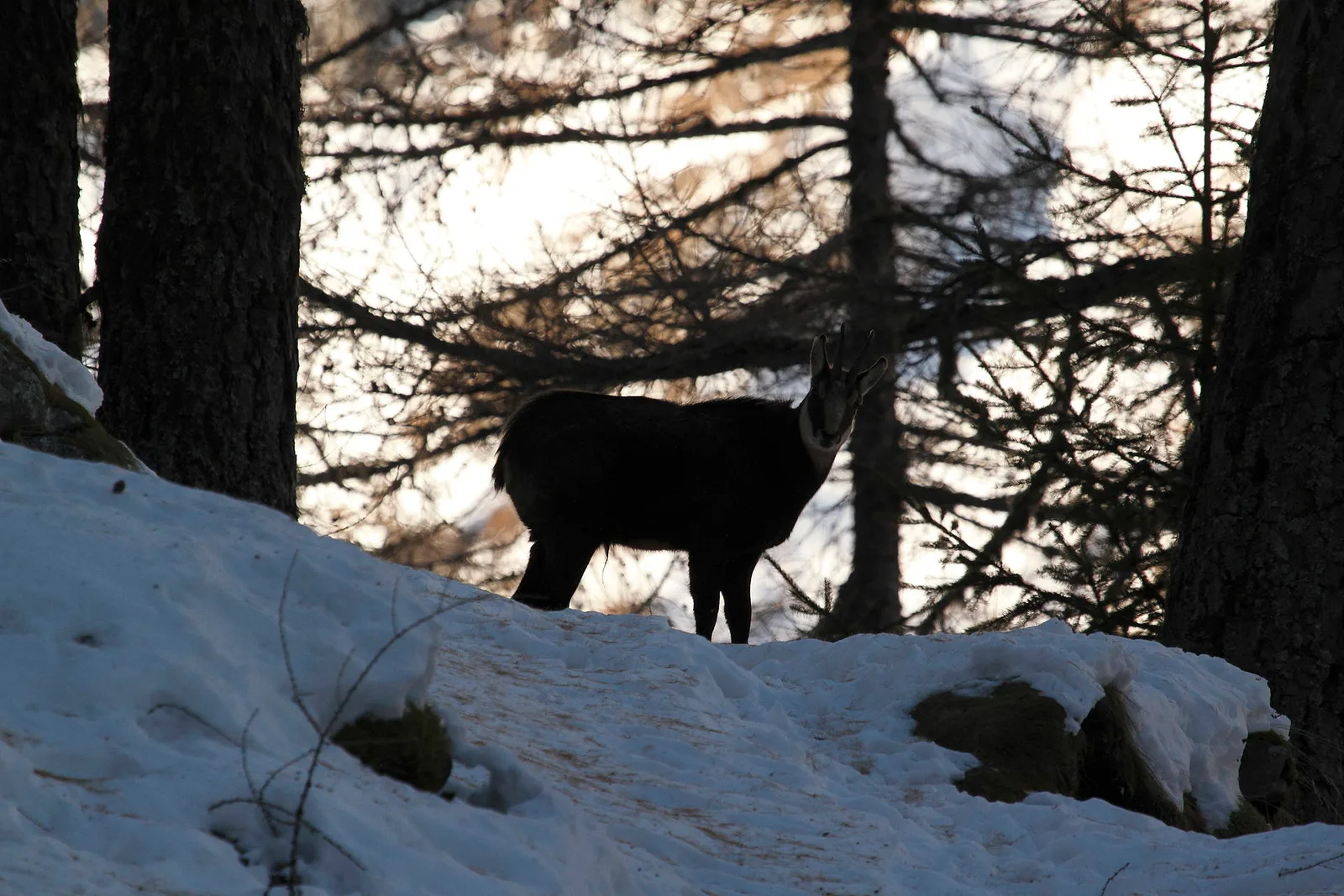
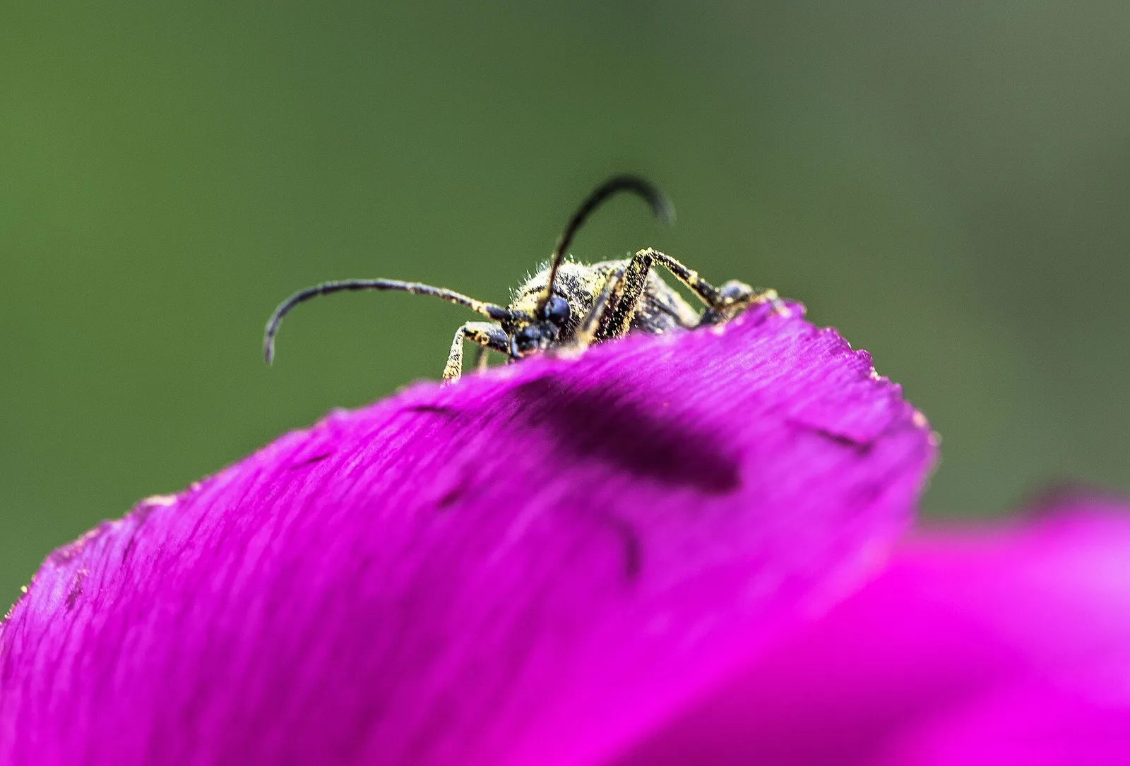
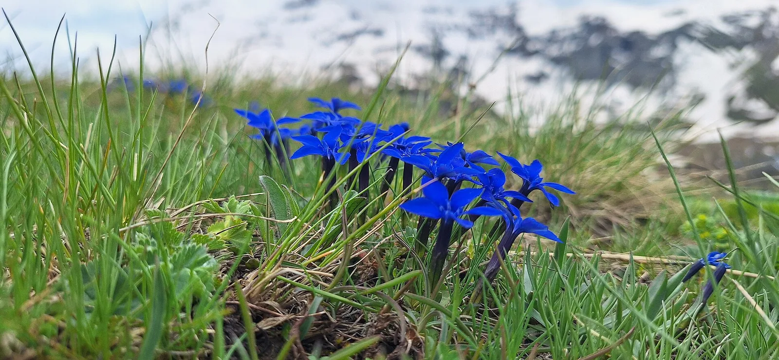
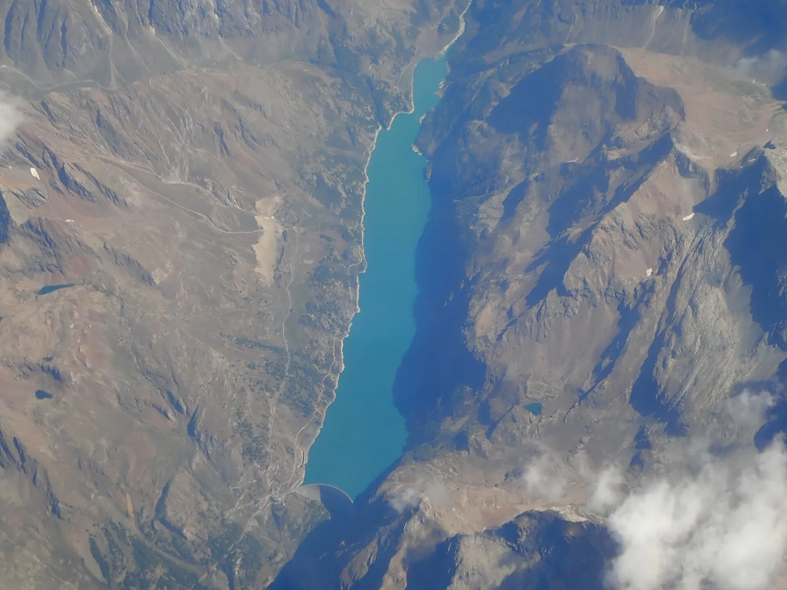
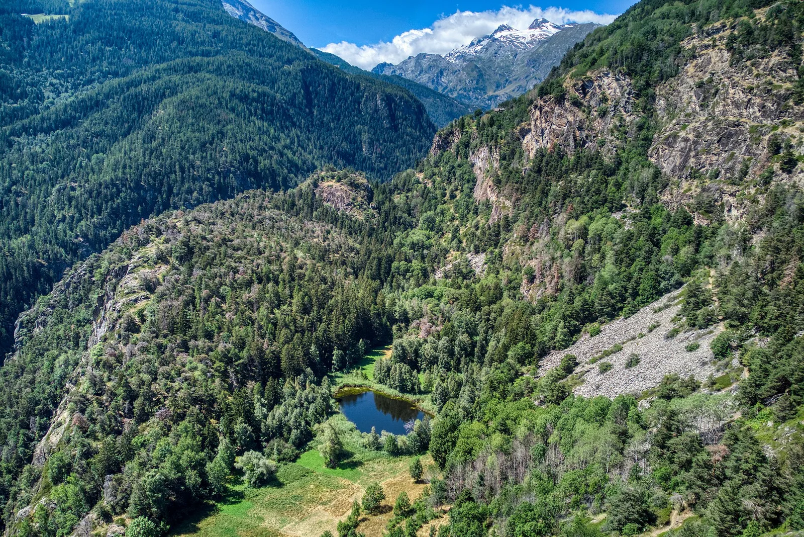
79 trails where Hairy primrose is listed in flora/fauna: difficulty T–EE, elevation gain 35–2282 m.
79 · 0.7–13.7 km · +35–2282 m
Valle centrale
A demanding EE ascent from Amponey to Becca Trecare at 3032m — nearly 1500m of gain on varied terrain with sweeping summit views.

Valle del Lys
2.3 km · +498 m · E — from Arpisson to Col Chasèche (Lys Valley).
Valle centrale
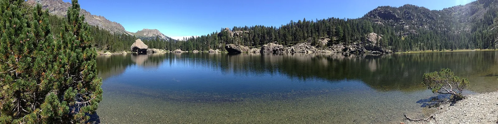
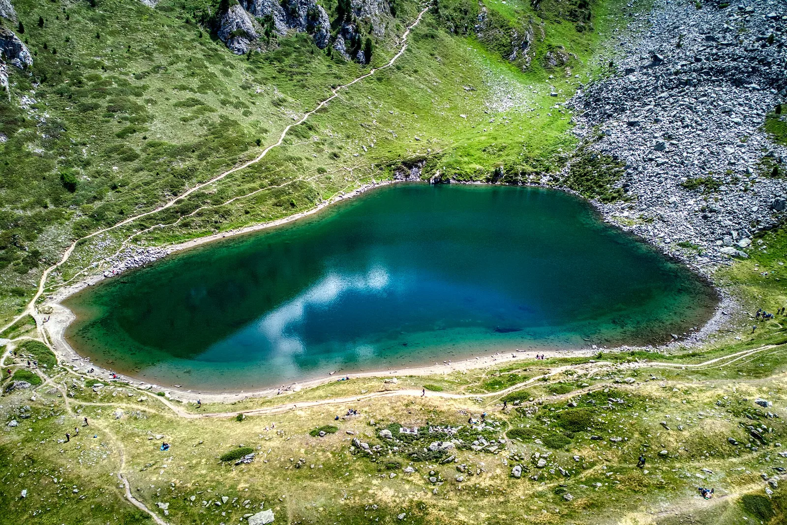
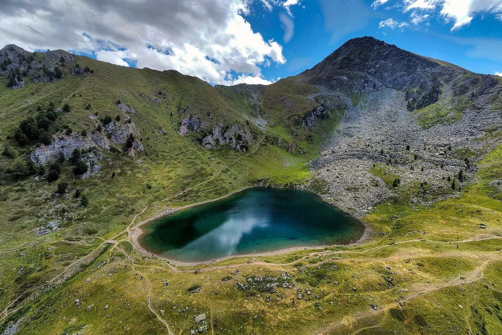
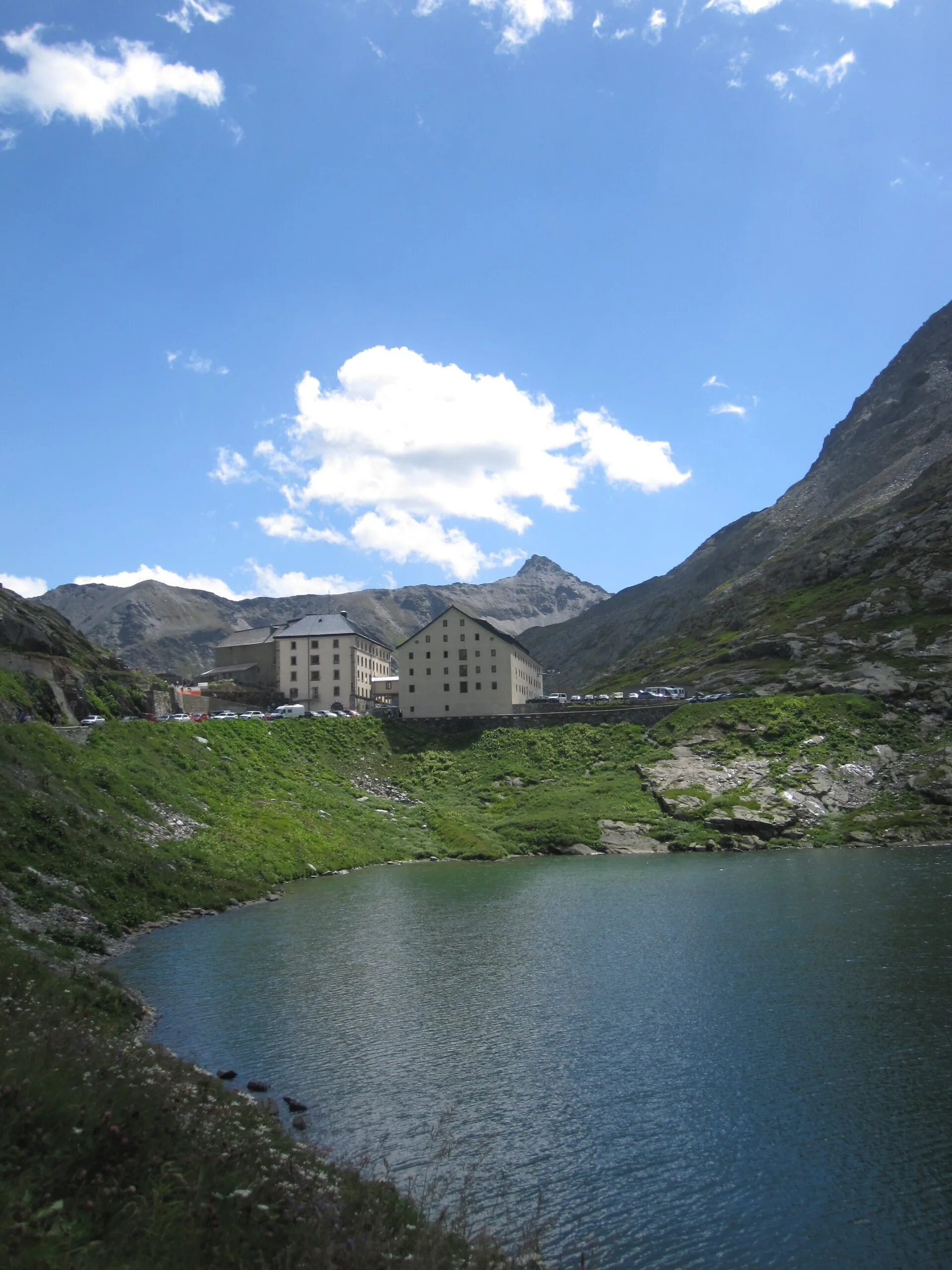
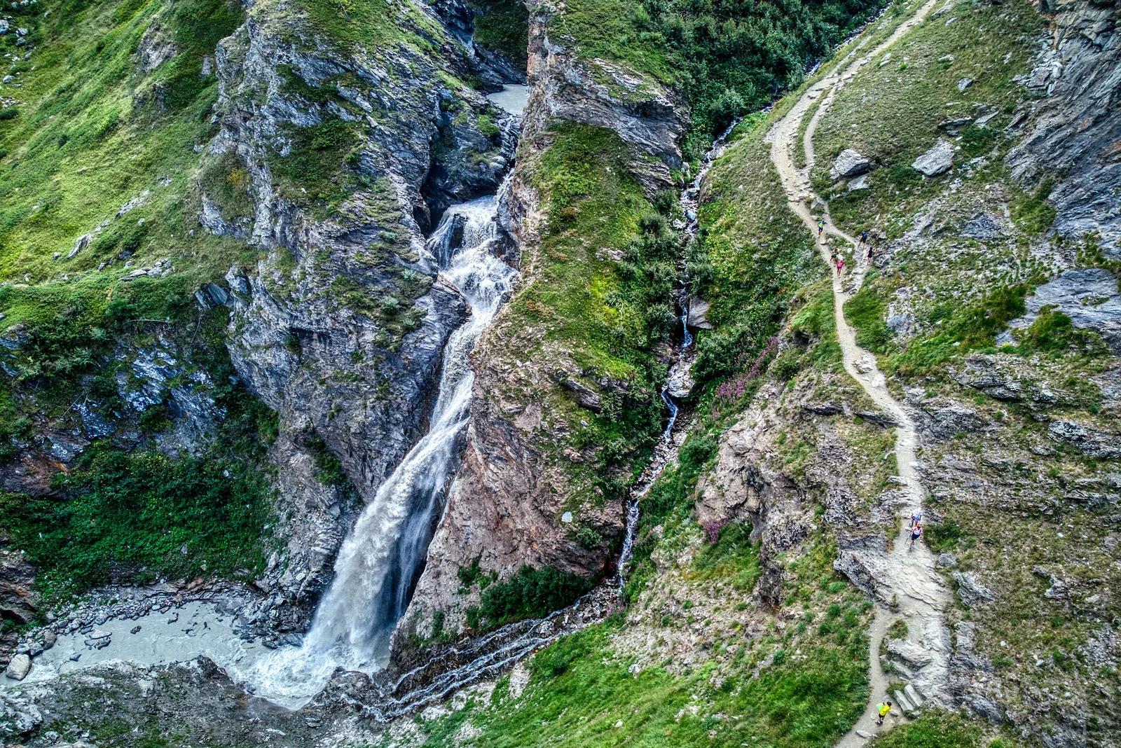
From Blanchard (1,731 m) to the vivid Lago Blu (2,297 m): 4.2 km and 575 m of ascent to a distinctive high-altitude lake.
Valtournenche
8 km · +678 m · E — from Borègne to Plontaz (Valtournenche).
Valle del Gran San Bernardo
2.7 km · +571 m · E — from Bruil to Casotto PNGP di Sort (Great St Bernard Valley).
Val d'Ayas
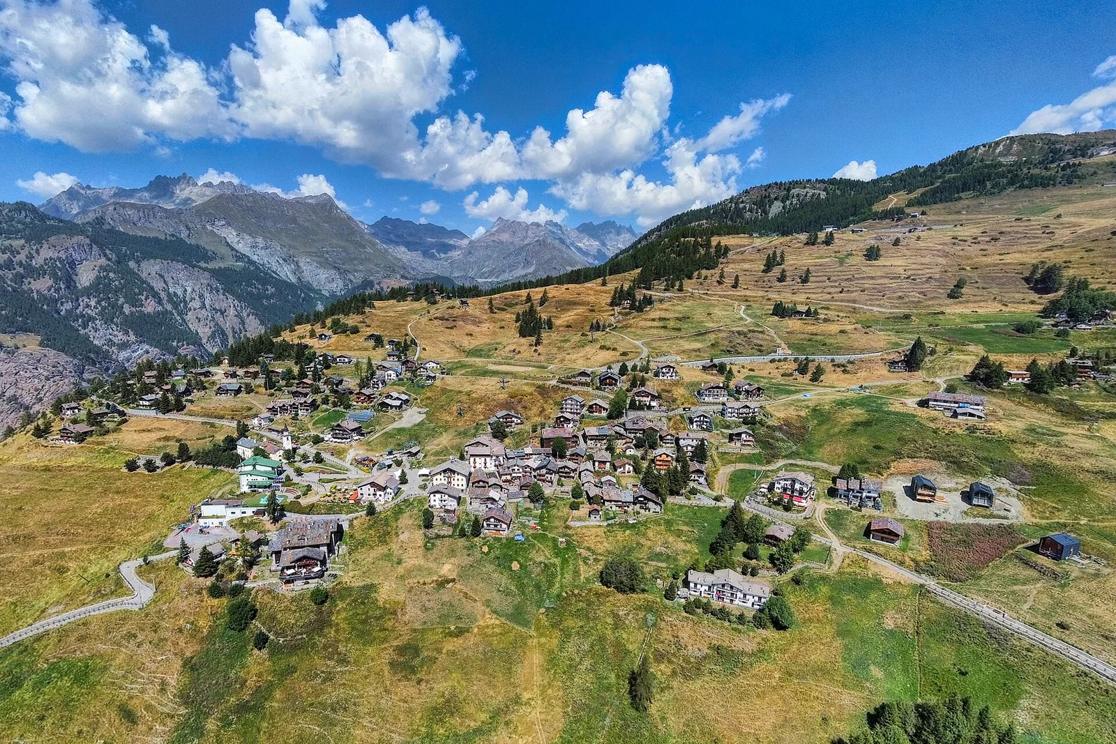
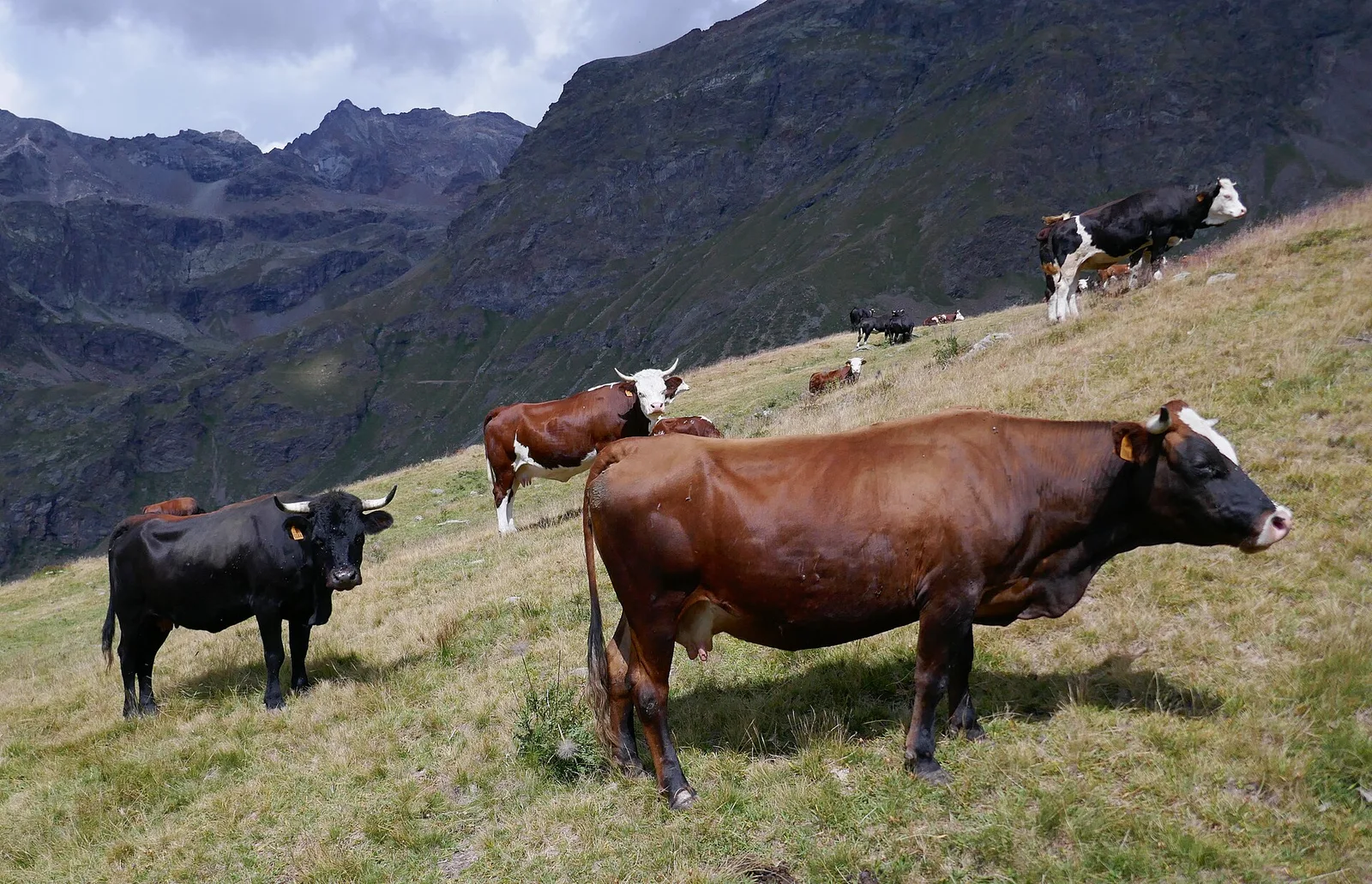
In the commune of Brusson, Val d'Ayas: an accessible route among pastures and hamlets with panoramic views.

La Thuile
6.3 km · +1313 m · E — from Chabodey to Croix du Folliet (La Thuile).
Val di Rhêmes
9.8 km · +1097 m · E — from Champex to Arp (Rhêmes Valley).
Valpelline
0.7 km · +72 m · E — from Champtorné to Gortz� (Valpelline).
Valle del Lys
5.4 km · +1018 m · EE — from Chardonney to Mont de Corquet (Lys Valley).
Valdigne
5.2 km · +959 m · E — from Via Chanoux to Promiod (Valdigne).

Valle centrale
6.1 km · +974 m · E — from Combelin to Becca France (Central Valley).
Valle centrale
8 km · +1073 m · E — from Covarey to Col de la Croix (Central Valley).
Valle centrale
2.8 km · +323 m · E — from Crest to Belvedere (Central Valley).
Valsavarenche
11.4 km · +1892 m · E — from Crétaz to Becca d'Aver (Valsavarenche).
Valle del Gran San Bernardo
5.8 km · +1129 m · EE — from Dolonne to Mont-Chetif (Great St Bernard Valley).
Valtournenche
4.5 km · +487 m · E — from Dondena to Santuario al lago Miserin (Valtournenche).
Valle del Lys
8.6 km · +898 m · EE — from Epinel to Bivacco Gontier (Lys Valley).
Val di Cogne
3.3 km · +559 m · E — from Ermitage de Saint-Grat to Lac de Chamolé (Cogne Valley).
Valpelline
6 km · +719 m · E — from Etirol to Fenêtre d'Ersa (Valpelline).
Val d'Ayas
5.2 km · +966 m · E — from Fenille to Colle Becca Plana (Ayas Valley).
Valle centrale
6.3 km · +1311 m · E — from Fey to Colle Prial (Central Valley).
Valle del Lys
8.9 km · +1592 m · E — from Fontainemore to Col de Marmontana (Lys Valley).

Valle del Lys
7.3 km · +1592 m · E — from Fontainemore (Capoluogo) to Colle Marmontana (Lys Valley).

Valle del Lys
8.4 km · +1198 m · E — from Gimillan to Col de Saint-Marcel (Lys Valley).
Valle del Lys
10.8 km · +1142 m · E — from Gimillan to Pas des Invergneux (Lys Valley).
Valpelline
4.8 km · +1037 m · E — from Glacier to Bivacco Regondi (Valpelline).
Valle centrale
4.9 km · +517 m · E — from Confine comunale La Magdeleine - Chamois to Col Cheneil (Central Valley).
Val d'Ayas
9 km · +1662 m · E — from Isollaz to Col Dondeuil (Ayas Valley).

Val d'Ayas
8.1 km · +1383 m · E — from Issime to Col Dondeuil (Ayas Valley).
Val d'Ayas
6.7 km · +1641 m · E — from Kuniu to Colle Tschasten nord (Ayas Valley).
Valdigne
3.7 km · +112 m · T — from Strada dopo Veuillen to Corgnolaz (Valdigne).
Val di Cogne
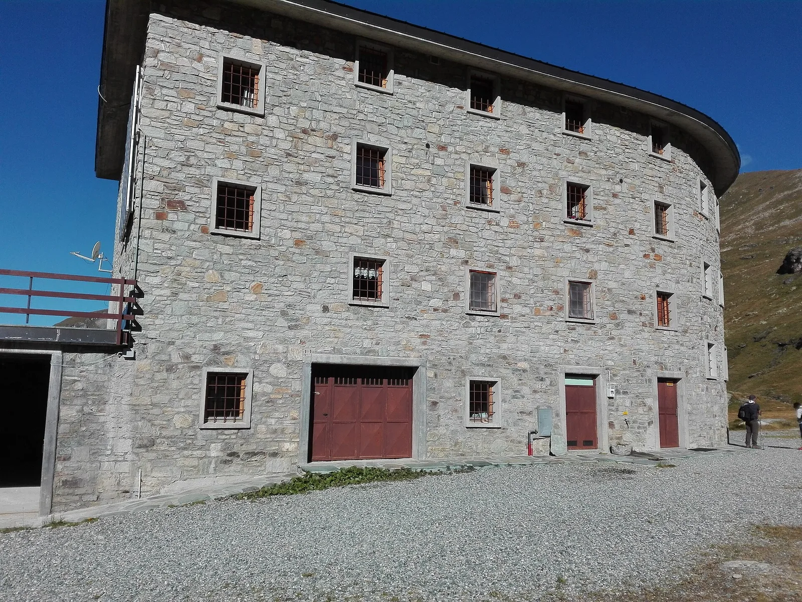
From La Nouva (1,300 m) through the Nomenon alp to Bivacco Gontier (2,302 m) in the Gran Paradiso National Park: 6.7 km, 1,020 m ascent.
Valle del Lys
0.7 km · +35 m · E — from Pila arrivo seggiovia to Lac de Chamolé (Lys Valley).
Val di Cogne
2 km · +486 m · E — from Lac de Chamolé to Rifugio Arbolle (Cogne Valley).
Valle di Champorcher
2.1 km · +538 m · E — from Lago Gover to Alpe Jatza (Champorcher Valley).
Valle del Lys
3.5 km · +770 m · E — from Le Crin to Grand Bellalanaz (Lys Valley).
Valle del Lys
13.7 km · +1295 m · E — from Lillaz to Col Pontonnet (Lys Valley).
Valle centrale
4 km · +623 m · E — from Loz (parcheggio) to Gran Balconata del Cervino (Central Valley).
Valtournenche
5.7 km · +1137 m · E — from Lusey to Alpe Ponton (Valtournenche).
Valsavarenche
8.1 km · +995 m · E — from Marseiller to Col des Bornes (Valsavarenche).
La Thuile
7.7 km · +1291 m · E — from Morges to Col du Bataillon-Aoste (Battaglione Aosta) (La Thuile).
Val d'Ayas
3.2 km · +328 m · E — from Muni to Col Dondeuil (Ayas Valley).
Valle del Gran San Bernardo
5 km · +853 m · E — from Niel to Lago di Suckie (Great St Bernard Valley).
Valle del Gran San Bernardo
4.5 km · +581 m · E — from Oreiller to Casotto PNGP di Sort (Great St Bernard Valley).
Valtournenche
2.2 km · +442 m · E — from Outre l'Eve to Alpe Monpey (Valtournenche).
Valle centrale
2.3 km · +178 m · E — from Pâquier to Lago Loz (Central Valley).
Valpelline
5.1 km · +803 m · E — from Parcheggio Porliod to Col Chaleby (Valpelline).
Valtournenche
3.9 km · +896 m · E — from Pingaz to Torlin dessus (Valtournenche).
Valle centrale
4.2 km · +720 m · E — from Plan de la Glaea to Illiaz - Perron (Central Valley).
Valle del Gran San Bernardo
4.8 km · +823 m · E — from Plan Ponquet to Mont-Chetif (Great St Bernard Valley).
La Thuile
5.2 km · +575 m · E — from Planaval to Bonalex (La Thuile).
Valtournenche
4.7 km · +488 m · E — from Planaval to Miollet (Valtournenche).
Val d'Ayas
3.6 km · +327 m · E — from Pont to Meyes desot (Ayas Valley).
Valle del Gran San Bernardo
2.3 km · +421 m · EE — from Pré de Pascal to Mont-Chetif (Great St Bernard Valley).

Val d'Ayas
2.4 km · +434 m · E — from Rifugio Arp to Col de Valfredda (Ayas Valley).
Val d'Ayas
2.6 km · +518 m · EE — from Rifugio Arp to Punta Valfredda (Ayas Valley).
Valle centrale
5.6 km · +726 m · EE — from Rifugio Barmasse to Bivacco Rivolta (Central Valley).
Valle del Gran San Bernardo
6.1 km · +274 m · E — from Rifugio Benevolo to Incrocio Alpe Goletta (Great St Bernard Valley).
Valle del Gran San Bernardo
4 km · +278 m · E — from Rifugio Elisabetta to Tsa de la Lex Blanches (Great St Bernard Valley).
Valtournenche
3.2 km · +823 m · E — from Roisan to Riond (Valtournenche).
Valdigne
In the commune of La Salle, Valdigne: an E-rated climb with significant elevation gain toward upper slope zones.
Valgrisenche
13.1 km · +2282 m · E — from Strada panoramica to Mont fallère (Valgrisenche).
Valtournenche
2.5 km · +542 m · E — from Strada Dondena to Col Lago Bianco (Valtournenche).
Val d'Ayas
In the commune of Brusson, Val d'Ayas: a mid-altitude route between hamlets and wooded areas of the slope.
La Thuile
3.8 km · +1059 m · E — from Strada per Lazey (presso Cretaz damon) to Mont Charvet (La Thuile).
Valle centrale
5.6 km · +1100 m · E — from Strada regionale per Arpy to Croix du Folliet (Central Valley).
Valtournenche
5.5 km · +495 m · E — from Surrier to Rifugio Bezzi (Valtournenche).
Valtournenche
4.8 km · +582 m · E — from Surrier, bivio poderali to Rifugio Chalet de l'Epée (Valtournenche).
Valle del Gran San Bernardo
3.7 km · +390 m · E — from Thumel to Rifugio Benevolo (Great St Bernard Valley).
Valle del Lys
5.3 km · +1120 m · E — from Vernosse to Cappella di Verdonaz (Lys Valley).
Valle centrale
4.8 km · +719 m · EE — from Verrogne to Becca France (Central Valley).
Valle centrale
7.2 km · +1020 m · E — from Veulla to Col du Lac Blanc (Central Valley).

Val di Cogne
In the Val di Cogne, Aymavilles: an E-rated climb toward an objective in the Gran Paradiso National Park.
Val di Cogne
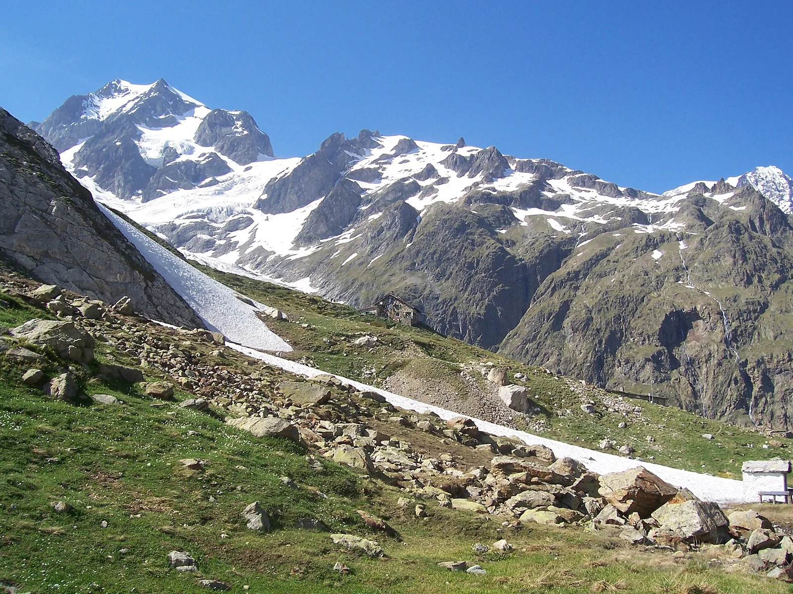
From Vieyes, trail no. 5 climbs through Val di Cogne forest and pastures to the Bivacco Mario Gontier (2302 m) on the Grand Nomenon alp: 1167 m of ascent in quiet surroundings.
Valle di Champorcher
2.8 km · +159 m · E — from Wiessmatten to Col Ranzola (Champorcher Valley).
Valle di Champorcher
1.8 km · +241 m · E — from Weissmatten to Colle di Garda (Champorcher Valley).
Val d'Ayas
6.5 km · +1391 m · E — from Zengji to Colle del Lupo (Ayas Valley).
Val d'Ayas
6.3 km · +1402 m · E — from Zengji to Colle Marmontana (Ayas Valley).