EEA
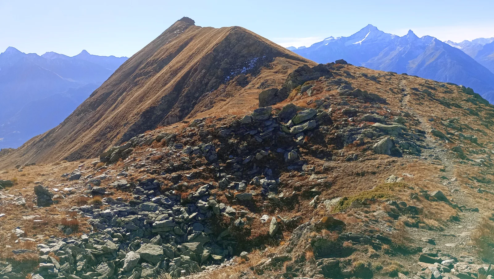
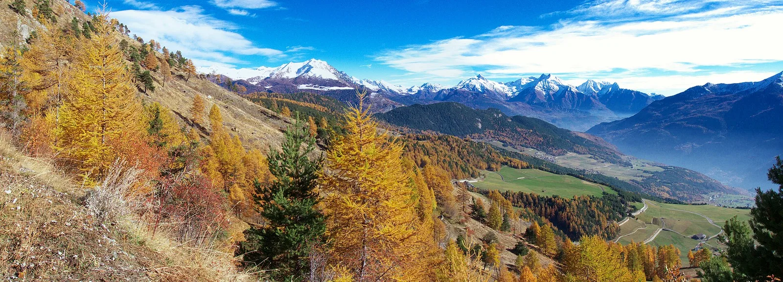
Valle del Gran San Bernardo
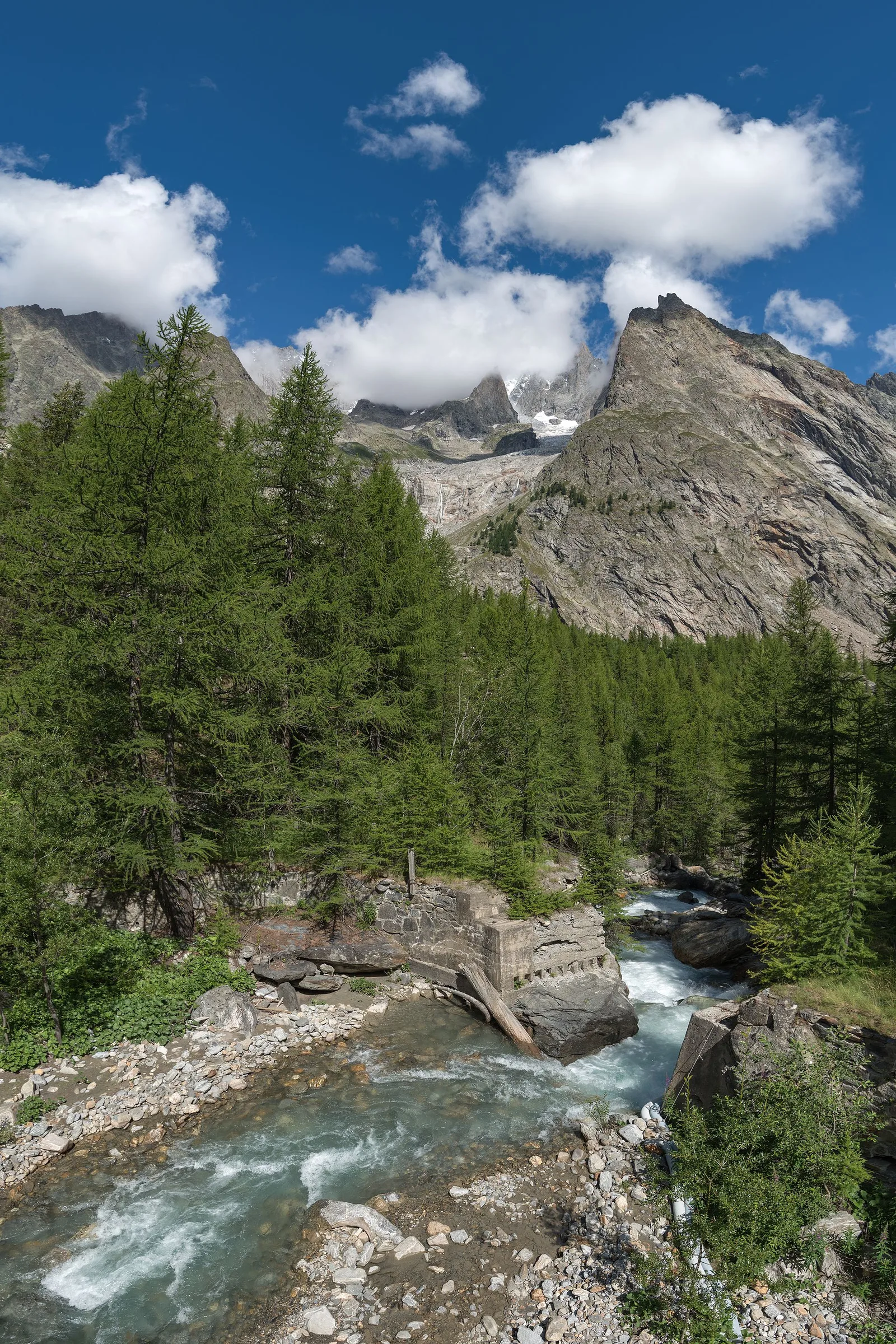
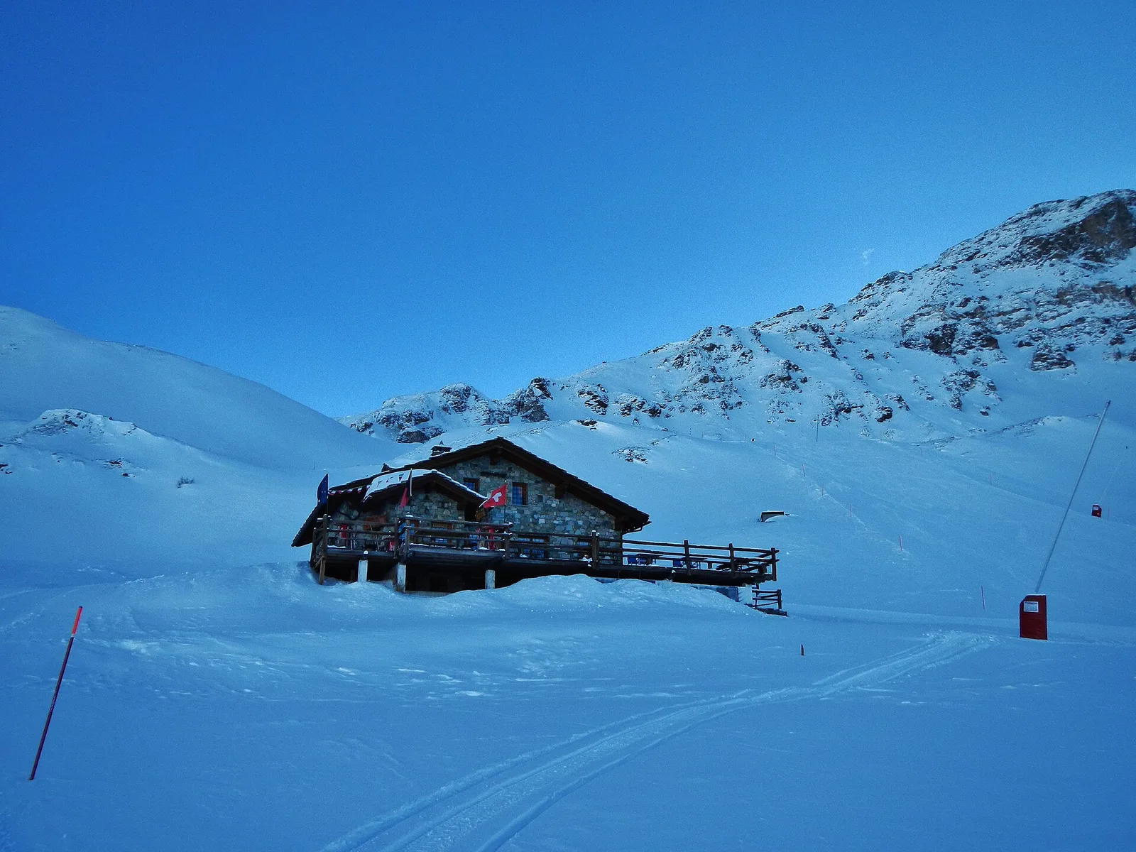
Area pic-nic Plan Veny - Rifugio Monzino
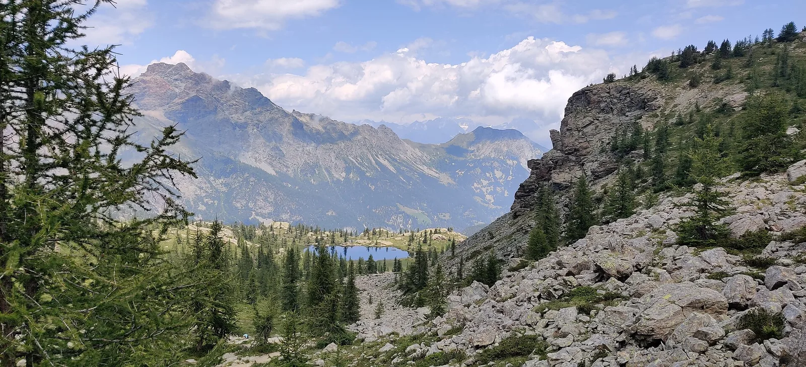
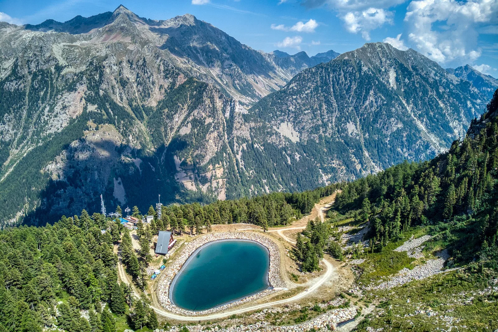
3.4 km · +997 m · EEA — from Area pic-nic Plan Veny to Rifugio Monzino (Great St Bernard Valley).
3.4 km+997 m3.5 h
Where to spot
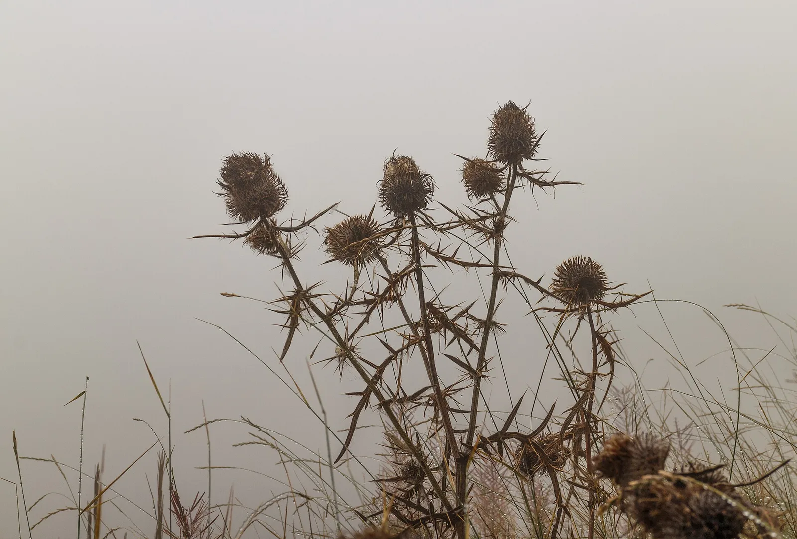
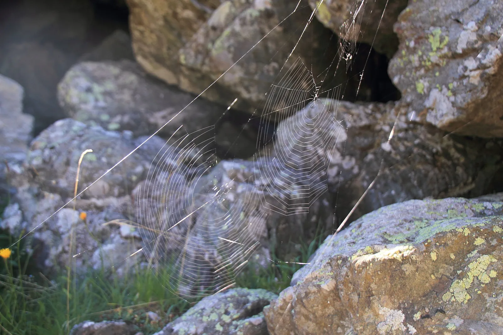
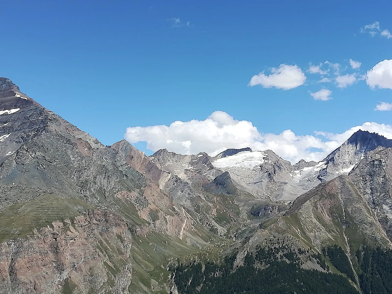
40 trails where Mountain avens is listed in flora/fauna: difficulty E–EEA, elevation gain 0–1795 m.
40 · 1.4–18.7 km · +0–1795 m
Valle del Gran San Bernardo
3.4 km · +997 m · EEA — from Area pic-nic Plan Veny to Rifugio Monzino (Great St Bernard Valley).
Valtournenche
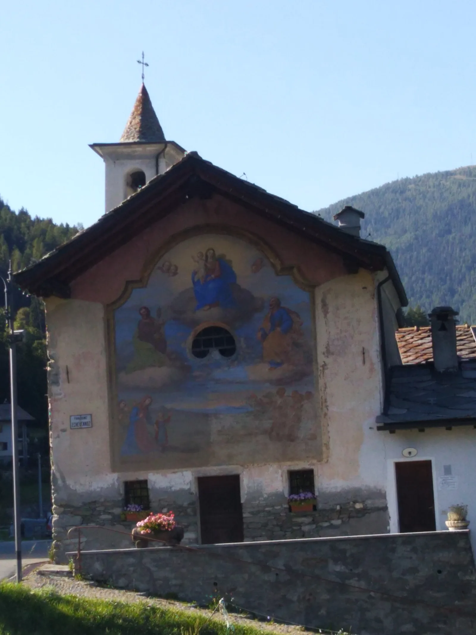
In the commune of Antey-Saint-André, Valtournenche: an E-rated route across sunny slopes, hamlets and pastures.
Valle centrale
6 km · +980 m · E — from Breuil-Cervinia to Colle Superiore delle Cime Bianche (Central Valley).
Valle del Gran San Bernardo
4.4 km · +1118 m · E — from Bruil to Col Fenêtre de Torrent (Great St Bernard Valley).
Valdigne
1.5 km · +327 m · E — from Cerellaz to Cerlogne (Valdigne).
Val di Cogne
Steep climb from Champsolin (762 m) to Ozein (1,371 m) in the Cogne Valley: 3.2 km with 596 m of ascent.
Valpelline
6.5 km · +813 m · EEA — from Châté to Becca d'Aver (Valpelline).
Valle del Lys
4.4 km · +920 m · EEA — from Colle Bettaforca to Rifugio Quintino Sella (Lys Valley).
Valle centrale
4.1 km · +550 m · E — from Desert to Motta di Plété Occidentale (Central Valley).
Valle del Lys
9.6 km · +1181 m · E — from Faubourg to Col d'Arp (Lys Valley).
Valle centrale
6.6 km · +1385 m · EE — from Fey to Col d'Arche (Central Valley).
Valle centrale
3.5 km · +432 m · E — from Fossaz to Gerbore (Central Valley).
Valle del Lys
4.7 km · +866 m · E — from Gimillan to Tsaplana (Lys Valley).
Valle del Lys
8.2 km · +986 m · E — from Gimillan to Laghi Lussert (Lys Valley).
Valtournenche
In the commune of Torgnon, Valtournenche: a panoramic route through forest, pastures and hamlets of the Aosta Valley mid-mountain.
Val di Cogne
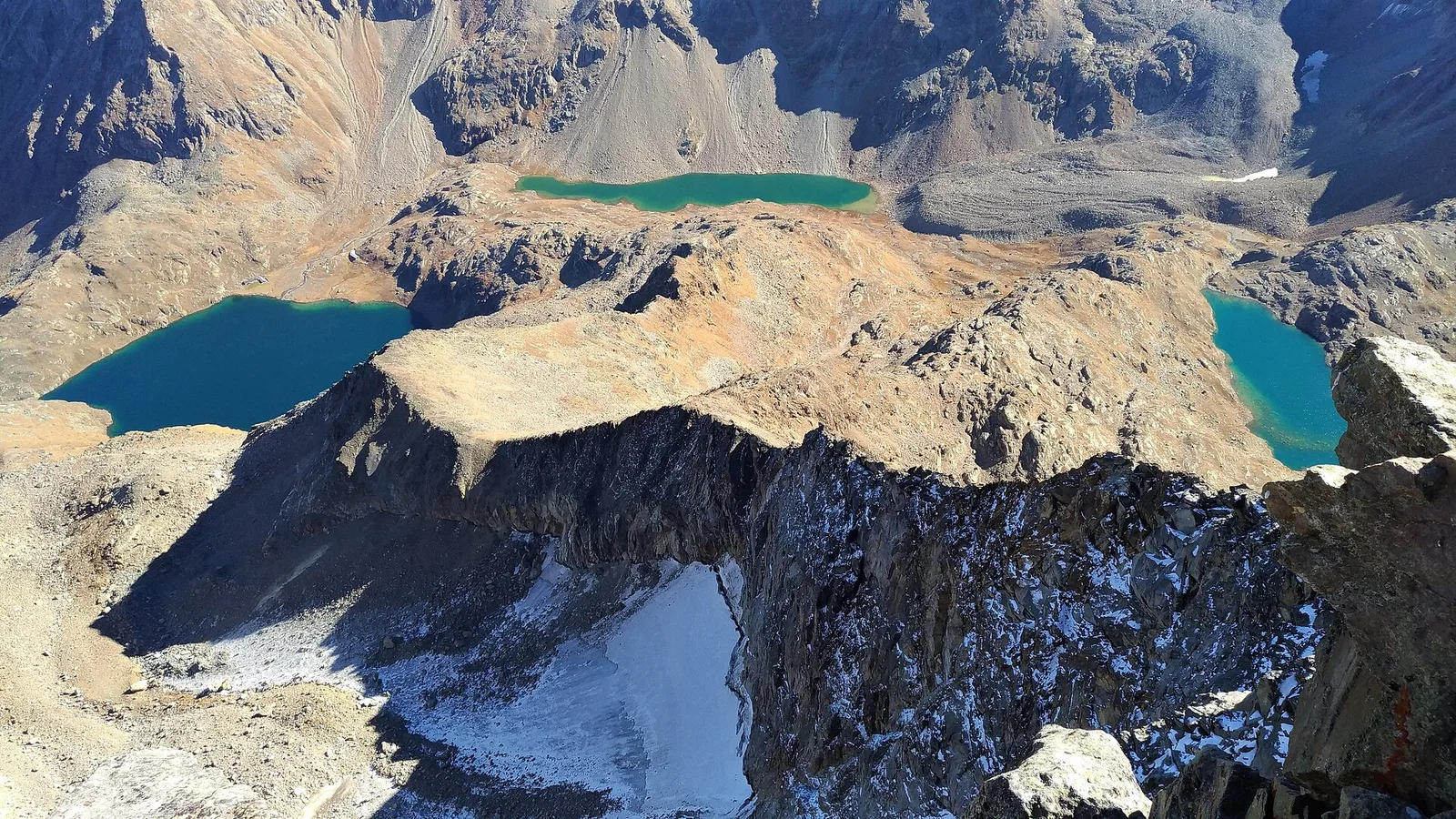
3 km · +759 m · EE — from Lac de Chamolé to Pointe-Valletta (Cogne Valley).
Valgrisenche
5.9 km · +802 m · E — from Thouraz to Lago Fallère (Valgrisenche).
Valle centrale
12.3 km · +1676 m · E — from Lavanchers to Col de Licony (Central Valley).
Valle centrale
Monte Emilius massif: an EE/EEA route toward the boundary ridges between Val di Cogne and the central valley.
Valle del Lys
5.2 km · +1204 m · EE — from Maisonnasse to Col de Raye Chevrère (Lys Valley).
Valpelline
4.8 km · +167 m · E — from Mognod to Saint-Evence (Valpelline).
Valtournenche
9.2 km · +1353 m · E — from Mondanges to Col de Feleumaz (Valtournenche).
Valle del Gran San Bernardo
3.6 km · +819 m · E — from Niel to Colle della Mologna Grande (Great St Bernard Valley).
Val di Cogne
1.4 km · +137 m · E — from Ozein to Strada per Torlin (Cogne Valley).
Valle centrale
5.7 km · +562 m · E — from Petit-Buthier to Alpe Ars (Central Valley).
Valle del Lys
5.8 km · +1040 m · E — from Pila to Col Chasèche (Lys Valley).
Val d'Ayas
3.7 km · +471 m · E — from Pont to Montcorvé (Ayas Valley).
Valle del Gran San Bernardo
17.1 km · +0 m · E — from Rifugio Elisabetta to Capoluogo (Great St Bernard Valley).

Valle centrale
7.5 km · +1317 m · EE — from Sassa to Rifugio Coda (Central Valley).
Val d'Ayas
17.2 km · +1676 m · EE — from Eaux Rousses to Rifugio Sella (Ayas Valley).
Valle del Lys
7.5 km · +0 m · E — from Rifugio Sogno di Berzé to Rifugio Dondena (Lys Valley).
Valle centrale
18.7 km · +0 m · E — from Vetan to La Salle (Central Valley).
Val d'Ayas
3.2 km · +288 m · E — from Tilly to Mayn (Ayas Valley).
Val d'Ayas
7.9 km · +1795 m · EE — from Toulaplana, Creton to Pointe Bioula (Ayas Valley).
Valle del Gran San Bernardo
5.1 km · +1148 m · E — from Sommarèse to Tête de Comagne (Great St Bernard Valley).
Valtournenche
4.8 km · +1099 m · E — from Capoluogo to Alpeggio Verdignolettaz (Valtournenche).
Valle del Lys
5.3 km · +1120 m · E — from Vernosse to Cappella di Verdonaz (Lys Valley).

Valle centrale
2.8 km · +530 m · E — from Visey damon to Col d'Arcomy (Central Valley).
Valle centrale
4.4 km · +948 m · E — from Vesey damon to Col de Pana (Central Valley).
Valle di Champorcher
4 km · +1011 m · E — from Zer Trino to Passo Frudière (Champorcher Valley).